If you’re planning a ghost town road trip, Kimberly, Utah delivers raw history and rugged adventure. Tucked deep in Mill Creek Canyon within Fishlake National Forest, this remote Tushar Mountains settlement boomed in the 1890s and went completely silent by 1938. You’ll need a high-clearance vehicle, offline maps, and a sense of exploration to reach it. From its gold rush origins to its surprising connection to national history, Kimberly’s story runs deeper than its crumbling ruins suggest.
Key Takeaways
- Kimberly sits in Mill Creek Canyon within Fishlake National Forest, requiring a high-clearance vehicle and offline maps for navigation.
- Check road conditions with Fishlake National Forest beforehand, as unmarked turnoffs and narrow mountain roads slow travel considerably.
- The ghost town boomed after 1889, peaked by 1908, and was fully abandoned by 1938 following failed revival attempts.
- Kimberly is notably the birthplace of Ivy Baker Priest, U.S. Treasurer under President Eisenhower, adding rare historical significance.
- No Trespassing signs restrict access to the fragile, deteriorating structures, so respect posted boundaries during your visit.
Where Kimberly, Utah Sits in the Tushar Mountains
Tucked into the northwest corner of Piute County, Utah, Kimberly sits high in Mill Creek Canyon on the slopes of Gold Mountain, deep within the Tushar Mountains. You’ll find it within Fishlake National Forest, south of Interstate 70, where the mountain scenery shifts from open highway views to dense, rugged terrain that feels genuinely off the beaten path.
Getting there requires embracing remote access — this isn’t a quick detour off a busy road. The canyon setting places you at elevation, surrounded by the kind of wild, untamed landscape that makes ghost town hunting worthwhile.
That isolation isn’t a drawback; it’s the point. Kimberly’s remote location preserved its story, and reaching it means you’re already experiencing the freedom that drew prospectors here in the first place.
The Gold Strike That Turned a Canyon Into a Boomtown
The canyon didn’t always look like this. Back in the 1890s, prospectors pushed into this rugged mountain terrain chasing rumors of a lost mine called “Trapper’s Pride.” What they found instead changed everything — two massive veins of gold and silver buried inside Gold Mountain.
By April 1889, the Gold Mountain Mining District was officially established, and Kimberly’s mining history had begun in earnest. Word spread fast. Men arrived with picks, ambitions, and not much else. The canyon transformed from wilderness into a working boomtown almost overnight.
You can almost picture it — the noise, the machinery, the sense that fortune was close enough to touch. That kind of energy defined Kimberly’s earliest years, even if it wouldn’t last forever.
Why Kimberly’s Ghost Town Was Abandoned by 1938
Boomtowns live and die by what’s left in the ground. By 1908, Kimberly’s richest veins were tapped out, and that historical mining reality hit hard. Population decline followed fast — families packed up, businesses shuttered, and the canyon grew quiet.
By 1908, Kimberly’s richest veins were gone — and the town died quietly with them.
The town limped along until around 1910, then largely emptied out.
The 1930s brought a brief flicker of hope when miners returned for another attempt, but the mountains had little left to offer. By 1938, the mines were permanently closed, and Kimberly became what you see echoes of today — an abandoned settlement slowly returning to the hillside.
That arc, from gold rush excitement to total silence in under five decades, is exactly what makes Kimberly worth adding to your ghost town road trip route.
The Ghost Town That Produced a U.S. Treasurer
Few ghost towns can claim a legacy beyond their ruins, but Kimberly’s reach extends all the way to the U.S. Treasury. Ivy Baker Priest, born here in 1905, went on to serve as U.S. Treasurer under President Dwight D. Eisenhower.
That connection transforms how you experience the ghost town architecture and mining relics scattered across this remote Tushar Mountain site. You’re not just walking through a collapsed mining camp — you’re standing where history quietly began for someone who shaped national finance.
The crumbling structures and abandoned equipment carry extra weight once you know that detail. Kimberly didn’t just produce gold and silver; it produced someone whose signature appeared on American currency. That’s a road trip story worth telling.
How to Drive to Kimberly on a Utah Road Trip
Reaching Kimberly means committing to remote mountain driving in the Tushar Mountains of northwest Piute County, Utah, where paved roads give way to rugged terrain well before you arrive. You’ll want a high-clearance vehicle and a downloaded offline map since cell service disappears fast in these canyons.
Follow Mill Creek Canyon up toward Gold Mountain, watching for unmarked turnoffs that’ll confuse you without a local guide familiar with the area. The drive rewards patient travelers with stunning scenic overlooks across the Tushar range, but don’t let the views distract you from narrow, unpredictable mountain roads.
Fishlake National Forest borders the region, so check road conditions with the forest service before heading out. Build extra time into your itinerary because nothing about this drive moves quickly.
What You’ll Actually Find at the Kimberly Ghost Town Site
When you finally reach the Kimberly ghost town site, you’ll find the remnants of a once-active mining settlement slowly losing its battle with time, as the remaining structures continue to crumble and deteriorate.
Don’t expect a polished historic site — what’s left is raw, weathered, and fragile.
Before you start exploring, you should also know that the property has been posted with No Trespassing signs for years, so access is far from guaranteed.
Crumbling Structures Still Standing
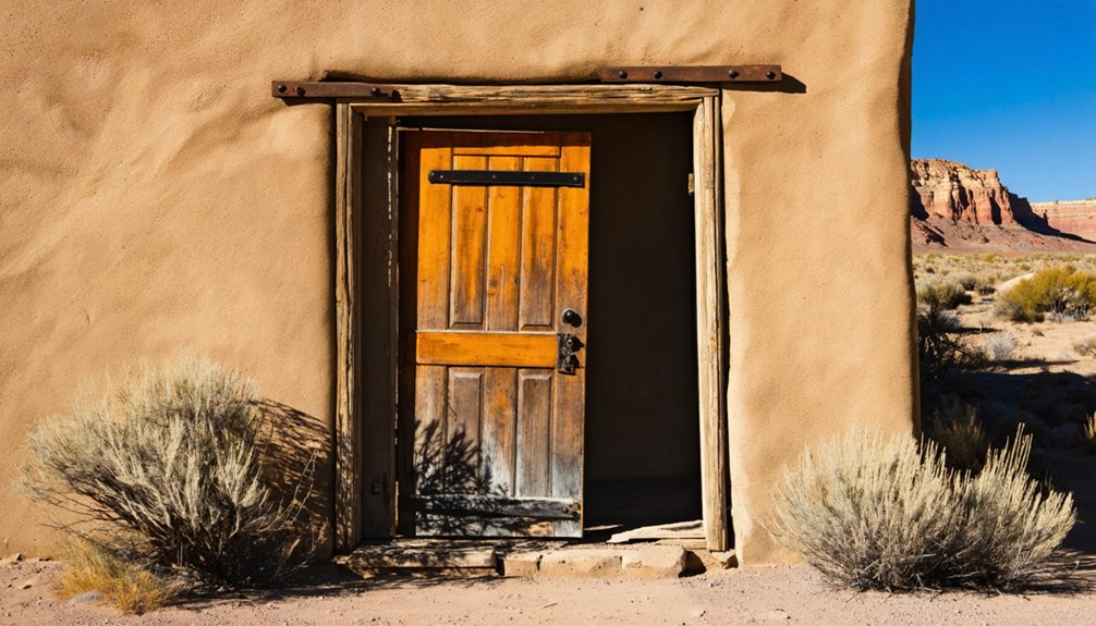
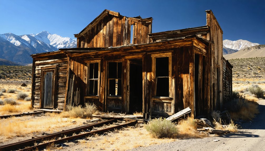
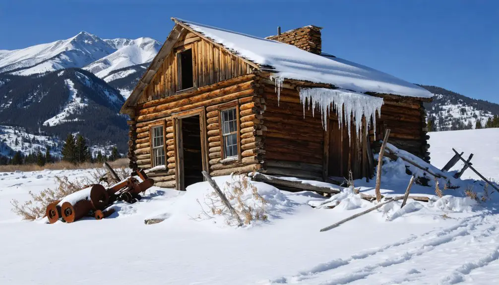
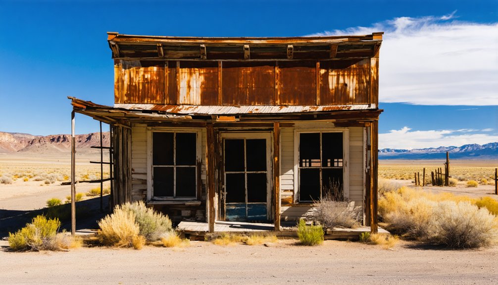
Although Kimberly has been abandoned since around 1938, remnants of the old mining town still cling to the mountainside—though not for much longer. The abandoned buildings that remain are weathered, leaning, and slowly surrendering to the elements. Crumbling facades hint at what this once-bustling gold and silver settlement looked like during its peak years.
Here’s what you’ll likely encounter on-site:
- Collapsed or sagging structures from the mining-era operations, slowly reclaimed by the terrain
- Wooden remnants of former buildings, rotted and fragile from decades of mountain weather
- No Trespassing signs marking privately held or restricted areas throughout the site
Approach everything carefully. Don’t touch unstable walls or enter compromised structures—they’re genuinely dangerous, and your safety matters more than any photograph.
Access And Trespassing Restrictions
Getting to Kimberly is half the challenge—and knowing what you’re walking into before you arrive saves you from a wasted trip. The remote mountain terrain already filters out casual visitors, but access restrictions add another layer.
For years, the property has been posted with trespassing warnings, meaning those crumbling structures you’ve read about aren’t necessarily yours to explore freely. The site sits on private or restricted land, and those signs aren’t suggestions.
Before you make the drive through Piute County’s backcountry, research current access conditions and contact local land management offices. Fishlake National Forest rangers can clarify what’s reachable on public land versus what’s off-limits.
Respecting those boundaries keeps the site intact for future visitors and keeps you out of legal trouble.
Frequently Asked Questions
Is Kimberly, Utah the Only Ghost Town in Piute County?
Kimberly isn’t Piute County’s only ghost town! The region holds several abandoned settlements with haunting history waiting for you to uncover. You’ll find Utah’s remote landscapes scattered with forgotten communities beyond just Kimberly’s fascinating gold-mining past.
Were Any Other Notable People Born in Kimberly, Utah?
Beyond Ivy Baker Priest, you won’t find other confirmed historical figures or local legends tied to Kimberly’s birthplace records. It’s a small, remote ghost town, so documented notable births remain extremely limited in available historical sources.
Can You Camp Overnight Near the Kimberly Ghost Town Site?
You’ll want to check local camping regulations and overnight permissions carefully, since Kimberly sits within Fishlake National Forest. Dispersed camping may be available nearby, but the ghost town site itself carries No Trespassing restrictions you must respect.
What Other Ghost Towns Are Close to Kimberly, Utah?
You’ll find several nearby spots rich in abandoned mining and ghost town history. Explore Marysvale, Circleville, and Frisco — each offering their own compelling stories of boom-and-bust settlements scattered across Utah’s rugged, freedom-calling landscape.
Is Kimberly, Utah Protected Under Any Historic Preservation Laws?
We don’t have confirmed details on whether historic preservation laws or cultural heritage protection cover Kimberly, Utah. You’ll want to contact Piute County or Fishlake National Forest officials before visiting to clarify legal protections.
References
- https://en.wikipedia.org/wiki/Kimberly
- https://digging-history.com/2014/05/21/ghost-town-wednesday-kimberly-utah/
- https://www.youtube.com/watch?v=6xRL35Zq7qM
- https://de.wikipedia.org/wiki/Kimberly_(Utah)
- https://thepaiutetrail.com/kimberly/
- https://es.abcdef.wiki/wiki/Kimberly
- https://onlineutah.us/kimberlyhistory.shtml