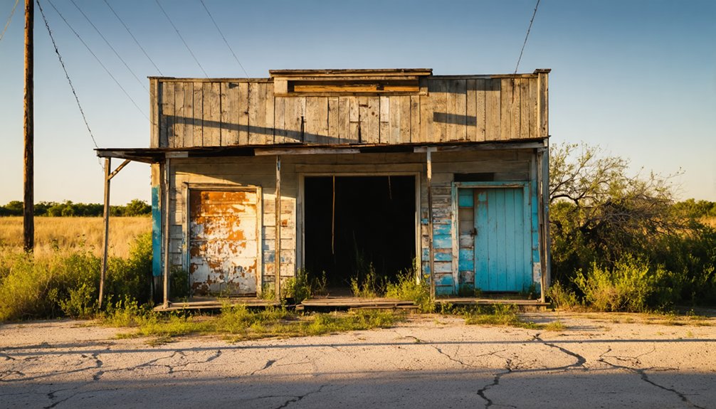
Spanish Fort, Texas isn’t what its name suggests—it’s a quiet ghost town rooted in Taovaya Native American history, where indigenous defenders successfully repelled a Spanish military attack in 1759. You’ll find weathered storefronts, a 1924 brick schoolhouse, and a historical marker correcting centuries of misconception. The Red River frames the landscape, and the Taovayas Indian Bridge connects it all to Oklahoma. There’s far more to this place than its name lets on.
Key Takeaways
- Spanish Fort, Texas, is a ghost town located about 17 miles north of Nocona, accessible via FM 103, ending at the Red River.
- The town square features abandoned storefronts, weathered buildings, and a 1924 brick schoolhouse, offering an authentic ghost-town atmosphere.
- A historical marker on-site corrects misconceptions about the town’s name, tracing its roots to a Taovaya Native American settlement.
- The Taovayas Indian Bridge crosses the Red River into Oklahoma, symbolizing the region’s rich Native American history and heritage.
- Pair your visit with nearby towns like Bowie, Montague, and Nocona to create a fuller, more rewarding road trip loop.
What Is Spanish Fort, Texas?
Despite its name, Spanish Fort was never actually a Spanish fort. You’re looking at a site rooted in Taovaya Native American settlement, French activity, and layered cultural influences stretching back to the early 1700s. Settlers misidentified older remains at the location, and the misleading name stuck.
The town sits in north-central Montague County, about a mile south of the Red River near the Texas-Oklahoma border.
Spanish forces attacked the area in 1759, connecting the site to broader frontier conflict across Spanish Texas. Archaeological discoveries here reveal one of north Texas’s most complex early-contact stories.
Why the Name Has Nothing to Do With Spain
The name “Spanish Fort” sounds like it should mark the site of an old colonial garrison, but it doesn’t. Early settlers stumbled onto older remains here and misread what they found, creating one of Texas history’s most persistent cultural misconceptions.
The site was actually a Taovaya settlement with French connections, built around 1718 or 1719 as a defensive wooden structure along the Red River. Spain’s role came later, when Spanish forces attacked the area in 1759, but they never built or occupied the fort itself.
Understanding these naming origins changes how you experience the place. You’re not standing where Spanish soldiers once drilled — you’re standing where Native and French frontier history played out, later filtered through settler misidentification into a name that stuck.
Why Spain Attacked Spanish Fort in 1759
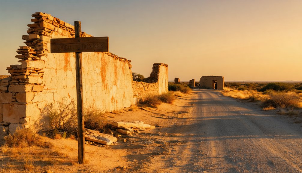
Spain’s 1759 attack on this site didn’t happen in isolation — it grew directly out of a bloody chain of event tied to the failed San Saba campaign. Spanish forces had attempted to extend their cultural influence northward, building missions and presidios in Comanche territory.
That push ended violently when Comanche and allied warriors destroyed the San Saba mission in 1758.
Spain retaliated by marching toward the Red River, targeting this Taovaya settlement. What they found stopped them cold.
The Taovayas had constructed a defensive structure whose architectural style — reinforced and strategically positioned — repelled the Spanish assault. You’re standing on ground where Indigenous defenders successfully pushed back a colonial military force.
That resistance shaped the entire frontier dynamic along the Texas-Oklahoma border for decades after.
What the 1759 Battle Left Behind at Spanish Fort
After the smoke cleared in 1759, what remained wasn’t a Spanish victory — it was a story carved into the landscape that still defines this quiet north Texas site today.
The smoke cleared. The Spanish lost. And the land never forgot.
Spain failed to break the Native alliances that had long anchored this stretch of the Red River. The Taovayas held their ground, and the colonial conflicts that followed only deepened the site’s historical weight.
When you visit Spanish Fort, you’re standing where that resistance played out. The historical marker in the town square connects you directly to that legacy.
The landscape itself — the river bend, the flat frontier terrain — hasn’t changed much. You can feel the stakes of what happened here, and that tension is exactly what makes Spanish Fort worth the drive.
How Spanish Fort Went From Frontier Crossroads to Ghost Town
What once stood as a layered frontier crossroads — shaped by Native settlements, French contact, and Spanish colonial conflict — quietly unraveled over the following centuries until Spanish Fort became little more than a name on a map.
By the late 1960s, the community began shrinking rapidly. The 1990s finished the job, leaving Spanish Fort a virtual ghost town. By 2000, only about 50 people remained, and even then, buildings around the square sat empty and abandoned.
A brick schoolhouse built in 1924 still stood among the ruins. The cultural heritage embedded in those archaeological remains didn’t disappear, but the living town fundamentally did.
What you’ll find today is a quiet square, a historical marker, and the unmistakable feeling that something once significant happened here — and mostly everyone forgot.
What You’ll See at Spanish Fort Today: The Square, the Marker, and the Ruins
When you pull up to Spanish Fort’s town square, the silence hits before anything else does. Empty storefronts and abandoned structures line the edges, and the 1924 brick schoolhouse stands like a stubborn reminder of what this place once was.
Local legends about Spanish soldiers and Taovaya warriors feel surprisingly close here.
Three things anchor your visit:
- The historical marker — it tells the real origin story most travelers never expect
- The abandoned town square — weathered buildings create a ghost-town atmosphere that photographs powerfully
- The Red River backdrop — just a mile north, it frames the entire frontier story with raw, open landscape
You’re not touring a museum. You’re standing inside actual history that most people drive right past.
The Taovayas Indian Bridge and the Red River at Spanish Fort
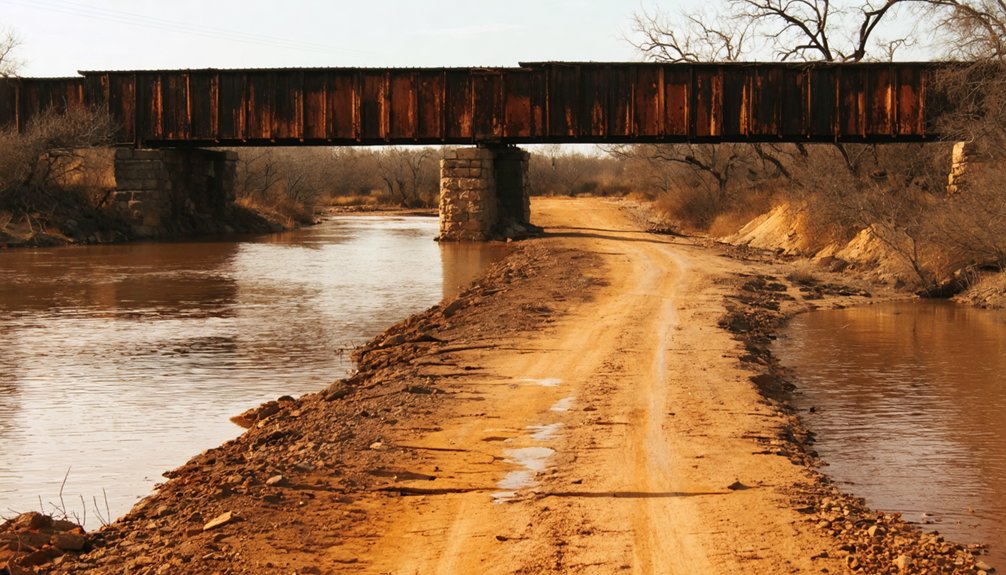
Just a mile north of the town square, the Red River cuts through flat, open country that hasn’t changed much since Taovaya warriors and Spanish soldiers contested this ground in the 1700s. The river landscape here feels raw and unfiltered, which is exactly what makes it worth the short drive.
The Taovayas Indian Bridge spans the Red River, connecting Texas FM 677 with Oklahoma State Highway 89. It’s a practical crossing, but the name carries real weight. The Taovayas were central figures in this region’s Native American history, and the bridge keeps that legacy visible in an otherwise quiet stretch of country.
Pull over and take it in. The wide river, the open sky, and the silence remind you why early nations and empires both wanted to control this ground.
How to Get to Spanish Fort on FM 103
Getting to Spanish Fort is straightforward once you know the route. Follow FM 103 north through Montague County until the road ends near the Red River, about 17 miles north of Nocona.
Follow FM 103 north through Montague County — the road ends at Spanish Fort, 17 miles above Nocona.
There’s no local cuisine or community events waiting here — just open sky, quiet roads, and raw history.
Before you arrive, keep these emotional checkpoints in mind:
- You’re driving toward a place time forgot — embrace that solitude instead of fighting it.
- The road literally ends at Spanish Fort — a perfect metaphor for reaching the edge of the known world.
- No services exist here — your freedom comes with responsibility, so fuel up in Nocona first.
Plan conservatively, drive slowly, and let the landscape speak.
Combining Spanish Fort With Nocona, Montague, and Bowie
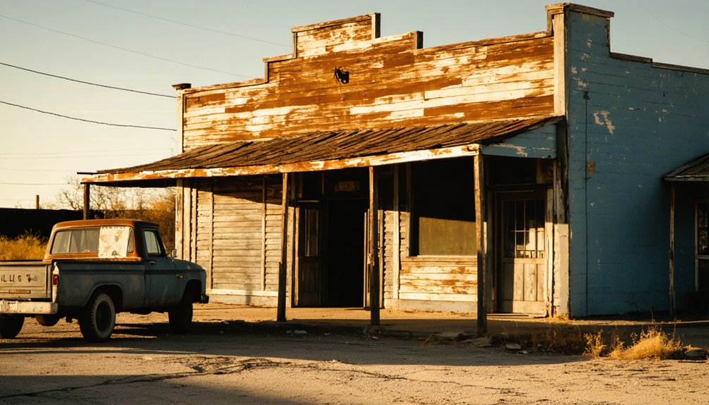
Spanish Fort makes the most sense as part of a larger loop rather than a standalone destination. Pairing it with Nocona, Montague, and Bowie turns a short detour into a full day of north Texas history.
Start in Bowie, work northeast through Montague, then push north toward Spanish Fort‘s abandoned structures and quiet town square.
Nocona sits about 17 miles south, making it a natural lunch stop before or after you explore the Red River site.
Each town carries its own local legends and frontier-era stories that build on each other as you travel the backroads.
Together, these four stops create a self-guided corridor through one of Texas’s most overlooked historical corridors, giving you maximum exploration with minimal backtracking.
Frequently Asked Questions
What Are the GPS Coordinates for Spanish Fort, Texas?
You’ll find Spanish Fort, Texas at 33° 57′ 7.23″ N, 97° 37′ 36.1″ W, where historical landmarks and local legends of frontier conflict await your adventurous spirit along the wild Red River border.
Is There a Restroom or Gas Station Near Spanish Fort?
With only ~50 residents, Spanish Fort’s got no gas stations or restrooms. You’ll want to fuel up and find local dining near historical landmarks in Nocona, just 17 miles south, before heading out.
What Year Was the Abandoned Brick School in Spanish Fort Built?
You’ll find the abandoned brick school, a piece of historical architecture steeped in local legends, was built in 1924. It still stands today, silently echoing Spanish Fort’s forgotten past and inviting your free-spirited exploration.
Is Spanish Fort Worth Visiting as a Standalone Day Trip?
Spanish Fort’s historical landmarks and local legends make it a rewarding stop, but it’s best paired with nearby towns. You’ll get more from your freedom-loving adventure by combining it with Nocona or Bowie.
Does Spanish Fort Have Any Connection to Oklahoma Across the Border?
The Taovayas Indian Bridge connects Texas FM 677 to Oklahoma State Highway 89, reflecting the area’s historical significance. You’ll discover powerful cultural influences from two states shaped by centuries of Native American and frontier heritage.
References
- https://www.tshaonline.org/handbook/entries/spanish-fort-tx
- https://www.redriverhistorian.com/post/spanish-fort-montague-county-texas
- https://www.texasescapes.com/TexasGhostTowns/SpanishFortTexas/SpanishFortTexas.htm
- https://texascooppower.com/mystery-of-spanish-fort/
- https://waurikanewsjournal.com/spanish-fort-texas-a-story/
- https://en.wikipedia.org/wiki/Aransas_City
- https://kids.kiddle.co/Spanish_Fort
- https://www.cityofspanishfort.com/history
- https://www.tpr.org/podcast/fronteras/2026-04-03/fronteras-how-the-forgotten-spanish-mission-of-los-adaes-played-a-role-in-the-founding-of-texas
- https://www.nps.gov/places/presidio-la-bahia.htm



