Gayville, SD
County:
Lawrence
Zip Code:
Latitude / Longitude:
44° 22′ 15″ N, 103° 45′ 37″ W
Elevation:
Time Zone:
Central (CST) (UTC-6)
Established:
Disestablished:
Comments:
Gayville is an unincorporated community in Lawrence County, in the U.S. state of South Dakota.
Remains:
Gayville was named for two brothers, Alfred and Wiliam Gay, who started the mining community in 1875.
Current Status:
Remarks:
Gibralter, SD
County:
Meade
Zip Code:
Latitude / Longitude:
Elevation:
Time Zone:
Central (CST) (UTC-6)
Established:
Disestablished:
Comments:
Remains:
Current Status:
Remarks:
Glendale, SD
County:
Pennington
Zip Code:
Latitude / Longitude:
Elevation:
Time Zone:
Central (CST) (UTC-6)
Established:
Disestablished:
Comments:
Remains:
Current Status:
Remarks:
Golden Centre, SD
County:
Lawrence
Zip Code:
Latitude / Longitude:
Elevation:
Time Zone:
Central (CST) (UTC-6)
Established:
Disestablished:
Comments:
Remains:
Current Status:
Remarks:
Golden Summit, SD
County:
Pennington
Zip Code:
Latitude / Longitude:
Elevation:
Time Zone:
Central (CST) (UTC-6)
Established:
Disestablished:
Comments:
Remains:
Current Status:
Remarks:
Golden West, SD
County:
Pennington
Zip Code:
Latitude / Longitude:
Elevation:
Time Zone:
Central (CST) (UTC-6)
Established:
Disestablished:
Comments:
Remains:
Current Status:
Remarks:
Gold Hill, SD
County:
Lawrence
Zip Code:
Latitude / Longitude:
Elevation:
Time Zone:
Central (CST) (UTC-6)
Established:
Disestablished:
Comments:
Remains:
Current Status:
Remarks:
Gopher, SD
County:
Corson
Zip Code:
Latitude / Longitude:
Elevation:
Time Zone:
Central (CST) (UTC-6)
Established:
Disestablished:
Comments:
Remains:
Current Status:
Remarks:
Gothland, SD
County:
Union
Zip Code:
Latitude / Longitude:
Elevation:
Time Zone:
Central (CST) (UTC-6)
Established:
Disestablished:
Comments:
Remains:
Current Status:
Remarks:
Grandview, SD
County:
Pennington
Zip Code:
Latitude / Longitude:
Elevation:
Time Zone:
Central (CST) (UTC-6)
Established:
Disestablished:
Comments:
Remains:
Current Status:
Remarks:
Greenwood, SD
County:
Lawrence
Zip Code:
Latitude / Longitude:
44°13′13″N 103°33′42″W / 44.2202633°N 103.5615803°W / 44.2202633
Elevation:
4,941 ft (1,506 m)
Time Zone:
Central (CST) (UTC-6)
Established:
1885
Disestablished:
Comments:
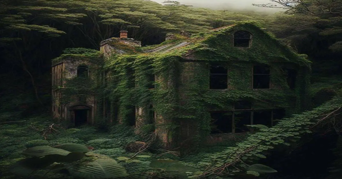
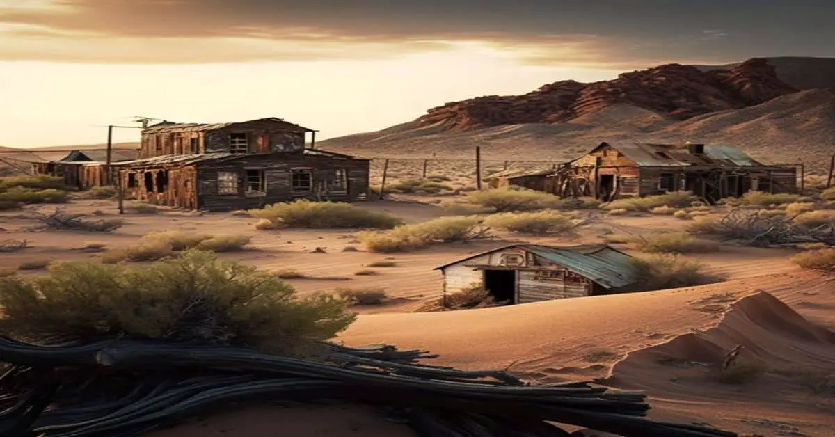
Greenwood (Dakota: cha-phež”; “wood [of] grass”), also known as Laflin, (c. 1885-after 1912), is a ghost town in Lawrence County, South Dakota, United States.
Remains:
Greenwood was founded around 1885 and was known for its mine. The town got its name from the green trees in the area. It included a store, school, stage barn, blacksmith, post office, livery stable, and boarding house. The mine was known for its gold production, though apparently, the mine turned no profit and only covered the cost of operations. Robert Flormann helped to promote the mine and became very wealthy. In 1912, the mine caught fire, and Flormann fell to his death while trying to rescue a survivor.
Current Status:
In 1971, the last standing house in Greenwood was torn down. The foundations and the mine are all that remain.
Remarks:
Greenwood is located in the Black Hills in Lawrence County, South Dakota, United States at the coordinates 44.2202633°N 103.5615803°W. It is southwest of Boxelder Creek and the Black Hills & Fort Pierre Railroad.
Gregory, SD
County:
Lawrence
Zip Code:
Latitude / Longitude:
Elevation:
Time Zone:
Central (CST) (UTC-6)
Established:
Disestablished:
Comments:
Remains:
Current Status:
Remarks:
Griggs, SD
County:
Lawrence
Zip Code:
Latitude / Longitude:
Elevation:
Time Zone:
Central (CST) (UTC-6)
Established:
Disestablished:
Comments:
Remains:
Current Status:
Remarks:
Hagginsville, SD
County:
Zip Code:
Latitude / Longitude:
Elevation:
Time Zone:
Central (CST) (UTC-6)
Established:
Disestablished:
Comments:
Remains:
Current Status:
Remarks:
Hammer, SD
County:
Roberts
Zip Code:
Latitude / Longitude:
45° 51′ 19″ N, 97° 1′ 16″ W
Elevation:
Time Zone:
Central (CST) (UTC-6)
Established:
Disestablished:
Comments:
Hammer is an unincorporated community in Roberts County, in the U.S. state of South Dakota.
Remains:
A post office called Hammer was established in 1915, and remained in operation until 1973. The community was named after Gunder and Ivor Hammer, the original owners of the town site.
Current Status:
Remarks:
Harney, SD
County:
Pennington
Zip Code:
Latitude / Longitude:
Elevation:
Time Zone:
Central (CST) (UTC-6)
Established:
1876
Disestablished:
1900
Comments:
Not to be confused with the military encampment by the same name in Custer County.
Remains:
Current Status:
Remarks:
Hayward, SD
County:
Pennington
Zip Code:
Latitude / Longitude:
Elevation:
Time Zone:
Central (CST) (UTC-6)
Established:
Disestablished:
Comments:
Remains:
Current Status:
Remarks:
Heppner, SD
County:
Fall River
Zip Code:
Latitude / Longitude:
43° 14′ 49″ N, 103° 33′ 0″ W
Elevation:
Time Zone:
Central (CST) (UTC-6)
Established:
Disestablished:
Comments:
Heppner is an extinct town in Fall River County, in the U.S. state of South Dakota. The GNIS classifies it as a populated place.
Remains:
Heppner was laid out in 1914, and named in honor of Charles Heppner, who was instrumental in securing the post office for the town. A post office was established at Heppner in 1914, and remained in operation until 1952.
Current Status:
Remarks:
Hillhead, SD
County:
Marshall
Zip Code:
Latitude / Longitude:
45° 50′ 6″ N, 97° 23′ 31″ W
Elevation:
Time Zone:
Central (CST) (UTC-6)
Established:
Disestablished:
Comments:
Hillhead is an unincorporated community in Marshall County, in the U.S. state of South Dakota.
Remains:
An early variant name was Airmount. A post office called Airmount was established in 1916, the name was changed to Hillhead in 1917, and the post office closed in 1960.
Current Status:
Remarks:
Hillside, SD
County:
Butte
Zip Code:
Latitude / Longitude:
Elevation:
Time Zone:
Central (CST) (UTC-6)
Established:
Disestablished:
Comments:
Remains:
Current Status:
Remarks:
Hill Side, SD
County:
Union
Zip Code:
Latitude / Longitude:
Elevation:
Time Zone:
Central (CST) (UTC-6)
Established:
Disestablished:
Comments:
Remains:
Current Status:
Remarks:
Hooker, SD
County:
Turner
Zip Code:
Latitude / Longitude:
43° 12′ 0″ N, 97° 1′ 29″ W
Elevation:
Time Zone:
Central (CST) (UTC-6)
Established:
1894
Disestablished:
1954
Comments:
Hooker is an unincorporated community in Turner County, in the U.S. state of South Dakota.
Remains:
Hooker was founded in 1894, and named for John Hooker, a pioneer settler. The post office in Hooker closed in 1954.
Current Status:
Remarks:
Hoover, SD
County:
Butte
Zip Code:
Latitude / Longitude:
45° 6′ 45″ N, 103° 16′ 2″ W
Elevation:
Time Zone:
Central (CST) (UTC-6)
Established:
Disestablished:
Comments:
Hoover is an unincorporated community in Butte County, in the U.S. state of South Dakota.
Remains:
Hoover was laid out in 1905, and named in honor of John Hoover, a local cattleman. A post office called Hoover was established in 1905, and remained in operation until 1973.
Current Status:
The Hoover general store was built in 1902 and remains in operation as the only business in this rural location.
Remarks:
Hornblende Camp, SD
County:
Pennington
Zip Code:
Latitude / Longitude:
Elevation:
Time Zone:
Central (CST) (UTC-6)
Established:
1899
Disestablished:
1915
Comments:
Remains:
Current Status:
Remarks:
Huseboe, SD
County:
Corson
Zip Code:
Latitude / Longitude:
Elevation:
Time Zone:
Central (CST) (UTC-6)
Established:
Disestablished:
Comments:
Remains:
Current Status:
Remarks:
Hustleton, SD
County:
Pennington
Zip Code:
Latitude / Longitude:
Elevation:
Time Zone:
Central (CST) (UTC-6)
Established:
1877
Disestablished:
Comments:
Remains:
Current Status:
Remarks:
Igloo, SD
County:
Fall River
Zip Code:
Latitude / Longitude:
Elevation:
Time Zone:
Central (CST) (UTC-6)
Established:
1942
Disestablished:
1970
Comments:
Also known as the Black Hills Ordnance Depot, it was a residential community located near a munitions storage and maintenance facility.
Remains:
Current Status:
Remarks:
Imlay, SD
County:
Pennington
Zip Code:
Latitude / Longitude:
43° 43′ 10″ N, 102° 23′ 51″ W
Elevation:
Time Zone:
Central (CST) (UTC-6)
Established:
Disestablished:
Comments:
Imlay is an unincorporated community in Pennington County, in the U.S. state of South Dakota.
Remains:
A post office called Imlay was in operation between 1908 and 1951. The community was named for Imlay Tabbets, a local cattleman.
Current Status:
Remarks:
Ivanhoe, SD
County:
Custer
Zip Code:
Latitude / Longitude:
Elevation:
Time Zone:
Central (CST) (UTC-6)
Established:
Disestablished:
Comments:
Remains:
Current Status:
Remarks:
Junction City, SD
County:
Custer
Zip Code:
Latitude / Longitude:
Elevation:
Time Zone:
Central (CST) (UTC-6)
Established:
Disestablished:
Comments:
Remains:
Current Status:
Remarks:
Kiddville, SD
County:
Custer
Zip Code:
Latitude / Longitude:
Elevation:
Time Zone:
Central (CST) (UTC-6)
Established:
Disestablished:
Comments:
Remains:
Current Status:
Remarks:
Lakeview, SD
County:
Todd
Zip Code:
Latitude / Longitude:
43° 6′ 13″ N, 100° 44′ 54″ W
Elevation:
Time Zone:
Central (CST) (UTC-6)
Established:
Disestablished:
Comments:
Lakeview is an unincorporated community in Todd County, in the U.S. state of South Dakota.
Remains:
A post office called Lakeview was established in 1913, and remained in operation until 1955. The community was so named for a former lake near the town site.
Current Status:
Remarks:
Lancaster City, SD
County:
Lawrence
Zip Code:
Latitude / Longitude:
Elevation:
Time Zone:
Central (CST) (UTC-6)
Established:
Disestablished:
Comments:
Lancaster City is a ghost town in Lawrence County, in the U.S. state of South Dakota.
Remains:
Lancaster City was named for Nimrod Lancaster, who laid out the mining community in 1877.
Current Status:
Remarks:
Lauzon, SD
County:
Custer
Zip Code:
Latitude / Longitude:
Elevation:
Time Zone:
Central (CST) (UTC-6)
Established:
Disestablished:
Comments:
Remains:
Current Status:
Remarks:
LeBeau, SD
County:
Custer
Zip Code:
Latitude / Longitude:
Elevation:
Time Zone:
Central (CST) (UTC-6)
Established:
Disestablished:
Comments:
Remains:
Current Status:
Remarks:
Lentz, SD
County:
Lawrence
Zip Code:
Latitude / Longitude:
Elevation:
Time Zone:
Central (CST) (UTC-6)
Established:
Disestablished:
Comments:
Remains:
Current Status:
Remarks:
Lexington, SD
County:
Lawrence
Zip Code:
Latitude / Longitude:
Elevation:
Time Zone:
Central (CST) (UTC-6)
Established:
Disestablished:
Comments:
Remains:
Current Status:
Remarks:
Lithia, SD
County:
Fall River
Zip Code:
Latitude / Longitude:
Elevation:
Time Zone:
Central (CST) (UTC-6)
Established:
Disestablished:
Comments:
Most likely submerged beneath Angostura Lake.
Remains:
Current Status:
Remarks:
Lone Camp, SD
County:
Lawrence
Zip Code:
Latitude / Longitude:
Elevation:
Time Zone:
Central (CST) (UTC-6)
Established:
Disestablished:
Comments:
Was an early mining camp. The exact location is unknown, but it was around Maitland and Carbonate.
Remains:
Current Status:
Remarks:
Lookout, SD
County:
Pennington
Zip Code:
Latitude / Longitude:
Elevation:
Time Zone:
Central (CST) (UTC-6)
Established:
1884
Disestablished:
1890
Comments:
The residential community of Fort Lookout.
Remains:
Current Status:
Remarks:
Lost Camp, SD
County:
Lawrence
Zip Code:
Latitude / Longitude:
Elevation:
Time Zone:
Central (CST) (UTC-6)
Established:
Disestablished:
Comments:
Remains:
Current Status:
Remarks:
Luffman, SD
County: Marshall
Zip Code:
Latitude / Longitude:
Elevation:
Time Zone: Central (CST) (UTC-6)
Established:
Disestablished:
Comments:
Remains:
Current Status:
Remarks: