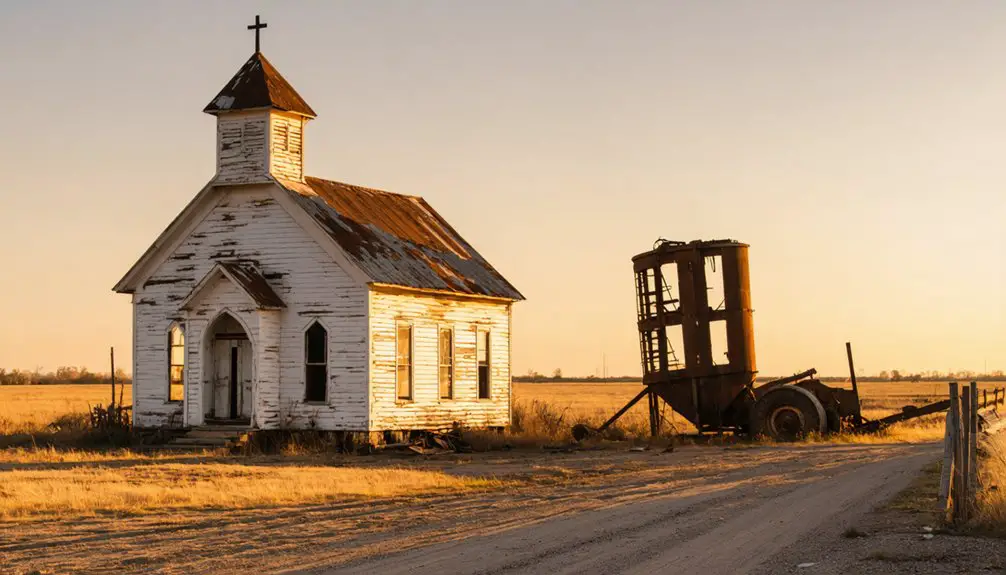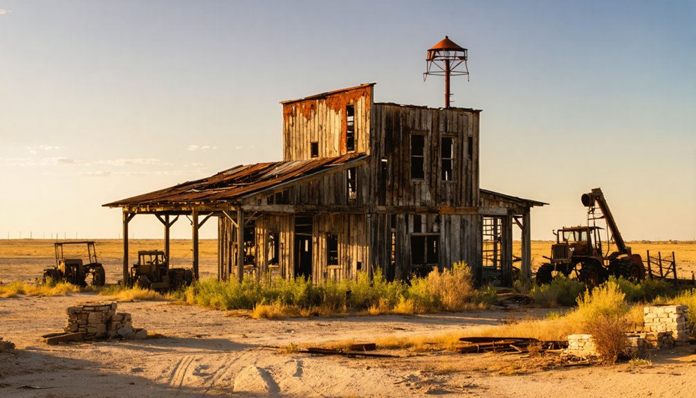
Oklahoma’s mining ghost towns reveal a century of boom-and-bust cycles that consumed entire communities. You’ll find lead and zinc towns like Picher, Cardin, Zincville, and Hockerville scattered across the Tri-State Mining District‘s toxic remains, while coal towns like Adamson now rest beneath Lake Eufaula’s waters. Rapid resource depletion, railroad abandonment, and devastating environmental contamination sealed their fates. These fragmented landscapes—chat piles, crumbling foundations, Superfund sites—preserve a haunting industrial record you’ll want to explore further.
Key Takeaways
- Oklahoma’s mining ghost towns, like Picher and Adamson, rose quickly during resource booms and collapsed just as fast when mines were depleted.
- Picher, once a major lead and zinc producer, was declared a Superfund site in 1983, with $301 million spent on cleanup.
- Adamson, a former coal mining town, was entirely submerged by Lake Eufaula, leaving only a cemetery and monument behind.
- Towns like Cardin, Zincville, and Hockerville in northeastern Oklahoma’s Tri-State Mining District are accessible via Route 66 but have few remaining structures.
- Toxic chat piles, contaminated groundwater, and crumbling foundations are common remnants of Oklahoma’s abandoned mining towns.
What Turned Oklahoma’s Mining Towns Into Ghost Towns?
Several forces converged to hollow out Oklahoma’s mining towns, stripping them of their populations and economic purpose. When you examine the roughly two thousand ghost towns scattered across the state, you’ll find a recurring pattern: economic booms collapsed as quickly as they rose.
Economic booms collapsed as quickly as they rose, hollowing out Oklahoma’s mining towns and scattering nearly two thousand ghost towns across the state.
Advances in mining technology eventually depleted ore bodies faster than communities could adapt, leaving towns economically stranded. Railroad routing decisions could doom a settlement overnight, cutting off its commercial lifeline.
Natural disasters accelerated abandonment, while government reservoir projects literally submerged entire communities. The economic impact of resource exhaustion proved especially devastating in lead, zinc, and coal districts, where towns like Picher and Adamson vanished once extraction became unviable.
You’re fundamentally witnessing capitalism’s raw cycle: extraction, profit, abandonment.
The Lead and Zinc Ghost Towns of Northeastern Oklahoma
Nowhere does Oklahoma’s mining legacy feel more tangible than in the northeastern corner of the state, where the Tri-State Mining District‘s lead and zinc operations built and ultimately destroyed entire communities.
Picher stood as the district’s epicenter, producing wealth for over a century before collapsing under devastating environmental impact and mining safety failures. Toxic chat piles and contaminated groundwater rendered the town uninhabitable, forcing evacuation and eventual dissolution by 2009.
The federal government committed $301 million to Superfund cleanup efforts since 1983, yet only roughly ten residents remain to monitor progress.
Surrounding towns—Cardin, Douthat, Zincville, and Hockerville—followed identical trajectories, thriving briefly before mining ceased and left behind barely a trace. You’re now looking at a landscape where industrial ambition consumed the very communities it created.
Picher: Oklahoma’s Most Famous Mining Ghost Town
If you trace Oklahoma’s mining history, you’ll find Picher standing as the most striking example of a town destroyed by its own industry. For over a century, Picher anchored the Tri-State Mining District as a major lead and zinc producer.
Yet that legacy left behind a toxic landscape so severe that the federal government declared it a Superfund site in 1983 and spent $301 million on cleanup efforts.
Picher’s Mining Legacy
Picher, Oklahoma stands as perhaps the most dramatic example of a mining ghost town in the state’s history, having served as a major lead and zinc mining center for over a century within the Tri-State Mining District. Advances in mining technology extracted enormous quantities of lead and zinc, fueling wartime industrial demands while simultaneously poisoning the surrounding environment.
The environmental impact proved catastrophic — contaminated groundwater, unstable mine shafts, and massive chat piles rendered the land uninhabitable. Federal authorities declared Picher a Superfund site in 1983, ultimately spending $301 million toward cleanup efforts.
Environmental Devastation And Cleanup
The environmental devastation left behind by Picher’s mining operations ranks among the worst in American history. You’ll find that the federal government designated Picher a Superfund site in 1983, eventually spending $301 million on cleanup efforts. Massive chat piles—toxic remnants of lead and zinc extraction—dominate the landscape, poisoning groundwater and soil across the region.
By 2009, authorities officially dissolved the town, declaring it uninhabitable. Today, roughly 10 residents remain, actively monitoring ongoing remediation efforts. While historical preservation advocates struggle to document what’s left, Picher’s toxic ruins have paradoxically become tourist attractions, drawing visitors who recognize the site’s grim significance.
You can witness firsthand how unchecked industrial extraction strips communities of their freedom, their health, and ultimately their existence.
The Toxic Legacy Left Behind in Picher
Once a thriving hub of lead and zinc production, Picher left behind a catastrophic environmental and public health crisis that took decades and hundreds of millions of dollars to address.
When you visit the area today, you’ll encounter massive chat piles — toxic remnants of over a century of mining — alongside contaminated groundwater and soil laced with lead. The federal government designated Picher a Superfund site in 1983, ultimately spending $301 million on cleanup efforts.
The environmental impact permanently erased any possibility of historical preservation, forcing the town’s official dissolution by 2009. Only about ten residents remained to monitor remediation efforts.
Picher’s story serves as a stark warning about unchecked industrial extraction and the irreversible consequences communities face when corporate profit overrides environmental accountability.
Towns That Died Alongside Picher: Cardin, Zincville, and More
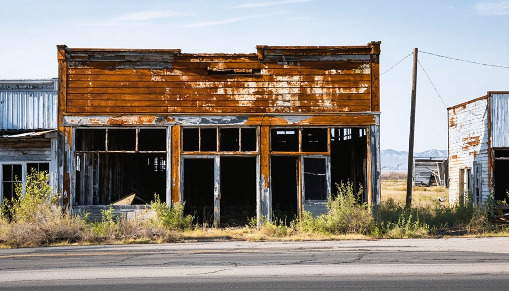
When you examine the fate of Picher, you can’t overlook the neighboring towns that shared its rise and collapse. Cardin, Zincville, Douthat, and Hockerville all orbited Picher’s mining economy, flourishing briefly before the industry’s collapse rendered them ghost towns as well.
Today, you’ll find almost nothing left of these communities, their histories buried beneath the massive chat piles that still define the scarred landscape of northeastern Oklahoma’s Tri-State Mining District.
Picher’s Neighboring Ghost Towns
Picher wasn’t the only community to collapse under the weight of the Tri-State Mining District’s toxic legacy. Surrounding towns like Cardin, Douthat, Zincville, and Hockerville all shared Picher‘s fate when mining ceased. You can still travel these areas today, though you’ll find little evidence these communities ever thrived.
- Cardin, positioned along Route 66 north of Commerce, once buzzed with mining activity before becoming a ghost town.
- Zincville and Hockerville supported Picher’s operations but vanished when ore deposits depleted.
- Douthat similarly evaporated, leaving massive chat piles as the primary historical preservation evidence of the district’s industrial past.
Tourism development remains limited here, largely because environmental contamination continues suppressing economic recovery. These towns serve as stark reminders that resource dependency ultimately surrenders your community’s future.
Mining’s Toll On Communities
The collapse of the Tri-State Mining District didn’t claim just one community—it swept through an entire constellation of interdependent towns, each stripped of purpose once the ore ran out. Douthat, Cardin, Zincville, and Hockerville all encircled Picher, thriving under the same extractive economy that ultimately erased them.
The economic consequences were absolute: when mining ceased, commerce evaporated, populations scattered, and infrastructure crumbled without maintenance or investment. You can visit these sites today and find virtually nothing standing—no institutions, no commerce, no civic identity.
The cultural impact proved equally devastating, as generations of working-class heritage dissolved alongside the physical towns. Massive chat piles—toxic remnants of lead and zinc extraction—now mark where communities once stood, serving as grim monuments to an industry that consumed and discarded human settlement without hesitation.
Coal Mining Ghost Towns of Southeastern Oklahoma
Southeastern Oklahoma’s coal mining towns followed a similar arc of boom and bust, though their fates were often sealed by forces beyond simple economic decline. Adamson, once a four-square-mile hub, housed up to 15 coal mines, with four classified as major producers during World War I.
Today, Lake Eufaula has reclaimed nearly all of Adamson’s town architecture and mining equipment sites.
What remains tells a sobering story:
- A small cemetery stands as the primary marker of Adamson’s existence
- A monument commemorates the town’s coal-producing legacy
- Several scattered houses survive as the sole structural remnants
You can research these vanished communities through archival records, recognizing that reservoir development permanently erased what economic decline alone might’ve preserved for future generations.
What Happened to Adamson After the Coal Mines Closed?
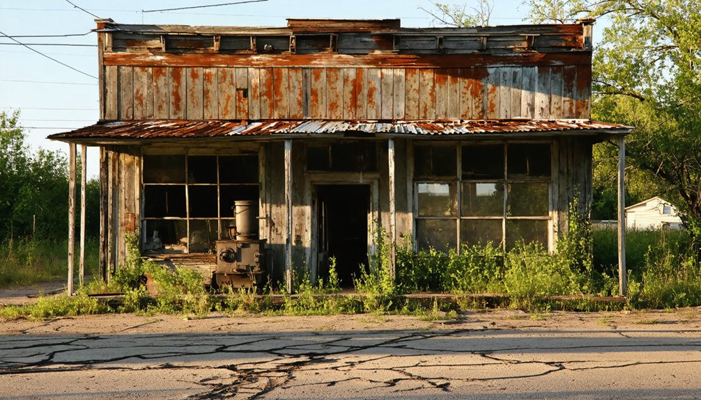
Once Adamson’s coal mines closed, you can trace the town’s swift decline through the economic abandonment that followed the loss of its primary industry.
Lake Eufaula ultimately delivered the final blow, swallowing nearly all of what remained of the once-bustling four-square-mile settlement.
Today, you’ll find only a small cemetery, a monument, and several houses standing as the sole memorials to Adamson’s former existence.
Adamson’s Decline After Mining
After the coal mines closed, Adamson’s fate took a dramatic turn—Lake Eufaula swallowed nearly all of the former town, leaving only a small cemetery, a monument, and several houses as reminders of its once-bustling existence.
Economic decline accelerated as mining accidents reduced output, workers departed, and the railroads that once carried trainloads of coal shifted priorities.
What remains tells a sobering story of how quickly prosperity dissolves:
- Lake Eufaula submerged the majority of Adamson’s four-square-mile footprint permanently
- Mining accidents and resource depletion forced the closure of even the town’s major World War I-era producers
- Railroad abandonment severed Adamson’s lifeline on the Rock Island and Katy lines, sealing its fate
Adamson now exists only in historical records and scattered remnants.
Lake Eufaula Swallows Adamson
The coal mines didn’t just abandon Adamson—the land itself eventually reclaimed what remained. When Lake Eufaula’s waters rose, they swallowed nearly every structure, street, and memory embedded in Adamson’s four square miles.
What mining folklore once preserved in oral tradition now rests beneath a reservoir. You can’t walk those old streets or photograph crumbling storefronts because they’re gone—submerged permanently under federal water management decisions that prioritized flood control over heritage.
What survives is deliberately minimal: a small cemetery, a monument, and several houses. For ghost town tourism enthusiasts, this makes Adamson uniquely haunting.
You’re not exploring ruins—you’re standing at water’s edge, knowing an entire coal-producing community lies beneath. That absence becomes the artifact, demanding your imagination reconstruct what documentation alone can’t fully restore.
Remnants of Adamson Today
What little remains of Adamson stands as a curated silence rather than a ruin: a small cemetery, a monument, and several houses mark the perimeter of what was once a four-square-mile coal-producing settlement.
Lake Eufaula claimed most of the town, submerging its streets and structures beneath controlled waters. What survives functions as historic landmarks, anchoring collective memory against erasure.
- Abandoned machinery once integral to Adamson’s four major wartime mines has largely disappeared, reclaimed by water or decay.
- The cemetery preserves identities of miners and families who built a self-sufficient community around coal extraction.
- The monument serves as your only navigational reference to a town that trainloads of Rock Island and Katy Railroad coal once departed daily.
What Physical Remains Survive at Oklahoma’s Mining Ghost Towns?
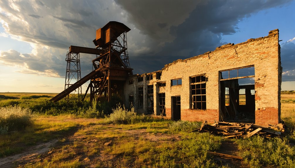
Scattered across Oklahoma’s former mining landscapes, physical remnants tell a fragmented story of industrial boom and environmental collapse. You’ll find rusting mining machinery, crumbling town foundations, and toxic chat piles dominating Picher’s horizon. These chat piles, massive byproducts of lead and zinc extraction, remain among the most visible and hazardous survivors of the Tri-State Mining District‘s industrial era.
In Adamson, Lake Eufaula has claimed most evidence of human settlement, leaving only a small cemetery, a monument, and several houses standing as quiet archival markers. Around Picher, towns like Hockerville, Zincville, and Cardin left virtually nothing behind.
What you can observe across these sites isn’t preservation—it’s fragmented evidence of communities the earth and industry consumed, demanding both historical recognition and ongoing environmental accountability.
Can You Still Visit Oklahoma’s Mining Ghost Towns?
Beyond these fractured remnants, you might wonder whether visiting Oklahoma’s mining ghost towns is even possible—and the answer varies considerably by site.
Historical preservation efforts and tourist attractions differ dramatically across these locations, so you’ll need to research each destination before traveling.
- Picher: You can drive through, but contaminated chat piles and Superfund regulations restrict exploration; only approximately 10 residents remain as monitors.
- Cardin, Zincville, Hockerville, and Douthat: These towns are accessible via Route 66 corridors, though hardly anything remains to anchor extended visits.
- Adamson: Lake Eufaula has submerged most of the townsite, leaving only a cemetery and monument reachable by land.
You’re free to explore these sites, but respect posted boundaries, environmental hazards, and private property to preserve what fragile historical integrity survives.
Are Oklahoma’s Mining Ghost Towns the Most Toxic in the Country?
When measuring environmental toxicity among America’s mining ghost towns, Picher, Oklahoma stands in a category of its own. The federal government has spent $301 million addressing contamination since declaring Picher a Superfund site in 1983, yet toxic chat piles still dominate the landscape.
Outdated mining technology left behind lead-contaminated soil and groundwater that poisoned generations of residents, ultimately forcing evacuation. You’ll find that historical preservation efforts here focus less on restoring structures and more on documenting the catastrophic consequences of unchecked industrial extraction.
Only roughly ten residents remain, monitoring cleanup operations. Surrounding ghost towns—Cardin, Zincville, Douthat, and Hockerville—share this contaminated legacy.
Picher’s story serves as a stark, documented warning about the true cost of resource extraction without environmental accountability.
Frequently Asked Questions
How Many Total Ghost Towns Exist Throughout Oklahoma Today?
You’ll find approximately two thousand ghost towns scattered across Oklahoma today. Economic decline and population shifts have driven these abandonments, reflecting how you can trace the state’s turbulent boom-and-bust history through its eerily silent, forsaken communities.
Did Railroad Routing Contribute to Oklahoma Mining Towns Becoming Ghost Towns?
Like Rome’s fallen roads, railroad influence didn’t directly erase Oklahoma’s mining towns—mining decline did. Yet, you’ll find that bypassed rail routes accelerated abandonment, stripping communities of commerce once ore veins exhausted themselves completely.
Were Any Oklahoma Mining Towns Known for Outlaw Activity?
You’ll find outlaw legends tied to Ingalls, where the notorious Doolin-Dalton gang used it as one of their criminal hideouts, spending freely in its saloons during the 1890s among its peak population of 150.
How Did Artificial Lakes Cause Oklahoma Towns to Disappear Completely?
Countless memories drowned forever when artificial lakes swallowed entire communities whole. You’d find that town flooding erased places like Alluwe, now Oologah Lake’s site, as dam construction permanently submerged homes, cemeteries, and streets beneath cold, indifferent waters.
Which Oklahoma Mining Ghost Towns Were Located Along Route 66?
You’ll find Cardin, an abandoned mining ghost town, located off Route 66 north of Commerce. It’s one of Oklahoma’s historic landmarks that faded into obscurity once lead and zinc mining operations ceased completely.
References
- https://en.wikipedia.org/wiki/Picher
- https://www.travelok.com/articles/oklahomaghosttowns
- https://www.okhistory.org/publications/enc/entry?entry=GH002
- https://www.facebook.com/groups/historicroute66/posts/2730065813862926/
- https://en.wikipedia.org/wiki/List_of_ghost_towns_in_Oklahoma
- https://www.youtube.com/watch?v=5d-wHDTIbb0
- https://www.youtube.com/watch?v=dbLyYkx_Kc4
- https://www.youtube.com/watch?v=FZJc5Ivk2J4
- https://www.nbcnews.com/news/investigations/last-residents-picher-oklahoma-won-t-give-ghost-town-n89611
- https://www.youtube.com/watch?v=WNvGt0BtbH4