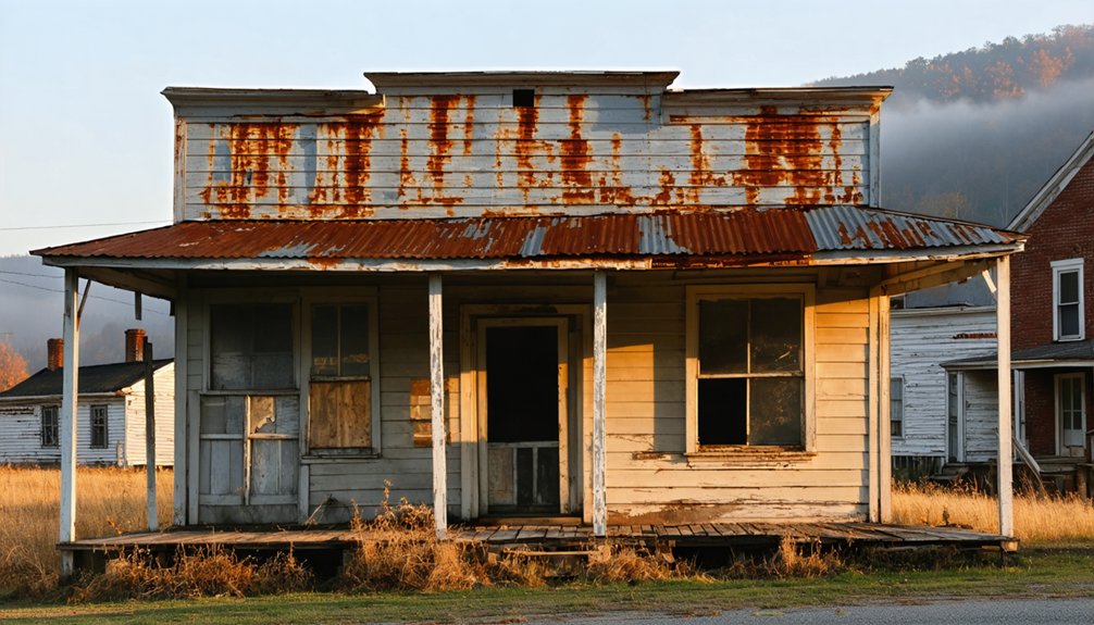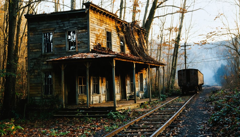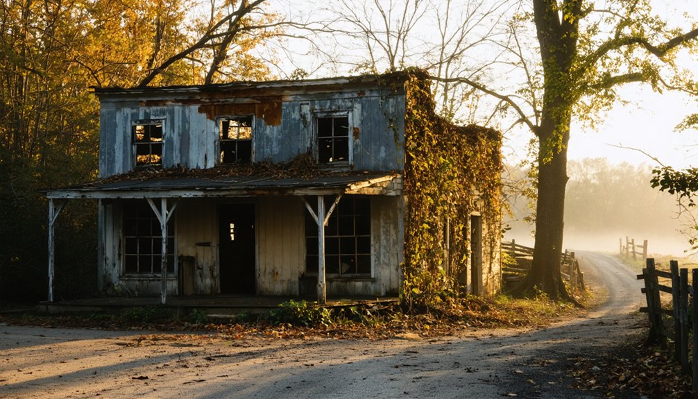
Kentucky’s ghost towns aren’t just empty fields—they’re documented sites with physical remains like foundations, roads, and submerged infrastructure. You’ll find over 25 pages of recorded entries, though that list is still incomplete. Towns failed because coal collapsed, railroads rerouted, and federal dam projects forcibly flooded entire communities. Sites like Blue Heron, Birmingham, and Golden Pond each tell a different story through what’s left behind—and there’s far more to uncover about each one.
Key Takeaways
- Kentucky ghost towns require substantial physical remains—buildings, roads, or infrastructure—to be classified, with over 25 pages of documented entries statewide.
- Economic collapse in coal, iron, and fluorspar industries drove rapid abandonment of many Kentucky communities after resource depletion or market shifts.
- Federal dam projects flooded towns like Birmingham and Golden Pond, displacing entire populations through government-mandated resettlement, not voluntary departure.
- Notable sites include Blue Heron, Barthell, Paradise, Creelsboro, and Golden Pond, each reflecting distinct industrial origins and abandonment causes.
- Visiting ghost towns requires researching land ownership, permits, seasonal restrictions, and site access, particularly for protected or submerged locations.
What Makes a Town a Ghost Town in Kentucky?
Before you can explore Kentucky’s ghost towns, you need to understand what qualifies a settlement for that label. A ghost town isn’t simply an empty lot — it’s an abandoned village, town, or city that retains substantial buildings, roads, or infrastructure. Urban decay plays a central role in how these places are identified and studied.
Kentucky’s definition stays practical. If visible structural evidence remains, the settlement earns the classification. Sites showing cultural preservation efforts, like Blue Heron or Barthell, still qualify even when restored or converted into exhibits.
Abandonment alone doesn’t define the category — remaining physical evidence does.
Kentucky lists over 25 documented pages of ghost-town entries, though researchers acknowledge those compilations remain incomplete. You’re looking at dozens of sites shaped by mining, flooding, and industrial collapse.
Why So Many Kentucky Towns Were Abandoned
When you look at why so many Kentucky towns emptied out, three patterns repeat across nearly every case: industries collapsed, water swallowed communities whole, and railroads rerouted economic life overnight.
Coal camps, iron furnaces, and fluorspar operations built towns fast but left them just as quickly once the resources ran out or the market shifted.
You’ll find the same story playing out whether you’re standing at a reservoir’s edge where a town once thrived or reading about a rail depot that took the local economy with it when the line changed course.
Industries That Faded Fast
Though Kentucky’s landscape still holds the bones of dozens of abandoned towns, most of them trace their collapse to a single, shared truth: the industry that built them didn’t last. Coal seams ran dry. Iron furnaces went cold. Railroad lines rerouted. When the economic engine stopped, urban decay followed quickly, and residents had no reason to stay.
You can see this pattern clearly across the state. Airdrie collapsed when its iron production failed early. Paradise emptied as coal’s dominance faded. Blue Heron and Barthell survived only because preservation efforts stepped in after Mine 18 closed.
Economic decline didn’t creep into these towns — it hit fast, leaving infrastructure behind but pulling people away. The industry came first. When it left, the town had nothing left to anchor it.
Rivers and Reservoir Floods
How a river giveth can explain how a reservoir taketh away. Kentucky’s waterways built towns through trade, ferry crossings, and transportation corridors. Then they erased them. When the federal government dammed rivers mid-twentieth century, rising water consumed entire communities, accelerating urban decay on a scale no economic downturn could match.
Birmingham in Marshall County disappeared beneath Kentucky Lake. Golden Pond in Trigg County was cleared for Land Between the Lakes, a federally managed recreation area. Residents didn’t leave voluntarily — they were displaced by policy.
You’ll find that cultural preservation efforts around these sites remain limited compared to coal-town museums. What survives are names on maps, shoreline fragments, and documented records. The water claimed the structures; history claims what’s left.
Railroads Left Towns Behind
Water wasn’t the only force that built Kentucky’s towns and then abandoned them. Railroads did the same thing. When rail lines expanded across the state, towns sprouted at stops, depots, and junctions almost overnight.
Burgess Railroad Station is one example of how quickly a settlement could rise around abandoned infrastructure once the trains stopped coming.
When rail routes shifted or companies folded, those towns lost their reason to exist. People left, buildings emptied, and roads grew over.
You can still find traces of these places if you know where to look. Some sites have benefited from historic preservation efforts, but many remain forgotten along old corridors.
The railroad gave these towns life, and when it moved on, it took everything with it.
The Most Famous Kentucky Ghost Towns
A handful of Kentucky ghost towns appear repeatedly across published lists and heritage tourism resources, standing out for their documented histories and surviving physical remains. Paradise in Muhlenberg County ranks among the most recognized, tied directly to coal’s industrial decline.
Blue Heron and Barthell in McCreary County both began as coal camps and now function as preserved historic sites, demonstrating how historic preservation extends a community’s cultural significance beyond its working years.
Golden Pond was cleared for Land Between the Lakes, while Birmingham disappeared beneath Kentucky Lake. Creelsboro in Russell County represents the river-town pattern of abandonment.
These sites don’t just mark where people once lived — they document why communities form, how industries shape settlement, and what survives when the original economic engine stops running.
Kentucky Coal Mining Ghost Towns and Why They Failed
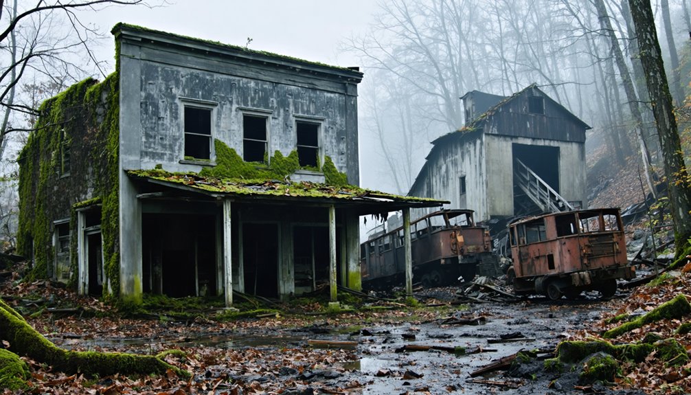
Coal mining shaped entire communities across eastern and western Kentucky, but when the mines closed, those communities rarely survived. Towns like Blue Heron in McCreary County and Barthell near Stearns existed solely because a mine operated nearby. Once extraction became unprofitable, companies pulled out, jobs vanished, and residents followed.
You’ll find that these towns didn’t fade gradually — they collapsed quickly after economic support disappeared. What remains today are mining relics and industrial ruins scattered across hollows and hillsides: tipple structures, company housing foundations, and rusted equipment.
Paradise in Muhlenberg County shows how industrial change erased an entire community from the landscape. These sites document a straightforward pattern — extraction-driven towns formed fast, served a single purpose, and couldn’t adapt once that purpose ended.
Kentucky River Towns and Ferry Crossings Lost to Time
If you trace Kentucky’s early settlement patterns, you’ll find rivers weren’t just geographic features — they were economic engines that pulled towns into existence at key crossing points.
Ferries like Ford’s Ferry in Crittenden County once controlled movement across major waterways, making the surrounding communities viable until roads and bridges rendered them obsolete.
Some towns didn’t fade gradually but were swallowed outright, as happened to Birmingham in Marshall County, which now sits beneath Kentucky Lake after reservoir construction permanently ended its story.
Rivers That Built Towns
Before highways and railroads reshaped Kentucky’s interior, rivers determined where people settled, traded, and built communities. You can trace entire economies back to a single reliable crossing point or navigable stretch of water. Rivers supplied transportation, commerce, and communication in an era when overland travel remained slow and uncertain.
Towns emerged where ferries operated, where goods transferred between flatboats and wagons, and where seasonal flooding patterns allowed stable construction. Their cultural significance runs deep, reflecting how ordinary Kentuckians organized daily life around natural geography rather than engineered infrastructure.
Historical preservation efforts now capture what remains of these communities, documenting their layouts, commerce, and eventual decline. When river traffic shifted and bridges replaced ferries, many of these towns lost their entire reason for existing.
Ferry Crossings Now Gone
Ferry crossings once anchored entire communities to Kentucky’s riverbanks, and when those crossings disappeared, the towns built around them often followed. Ford’s Ferry in Crittenden County stands as a clear example. The crossing drew settlers, commerce, and steady traffic, but once bridges and improved roads replaced river ferries, the economic logic holding these towns together collapsed.
You can still find abandoned structures marking where Ford’s Ferry once operated, and their historical significance extends beyond curiosity. They document how transportation infrastructure directly controlled settlement survival.
When ferries stopped running, merchants lost customers, residents relocated, and communities hollowed out fast. Studying these sites gives you a concrete understanding of how Kentucky’s river towns weren’t built on geography alone but on the specific economic function that geography temporarily made possible.
Towns Swallowed By Water
Some Kentucky towns didn’t empty out gradually — they went underwater. Reservoir projects accelerated population decline faster than any urban decay or economic shift could.
When Kentucky Lake expanded across Marshall County, Birmingham disappeared beneath the surface. Residents didn’t watch their town erode over decades — they watched it flood on a government timeline.
Golden Pond in Trigg County followed a similar path. Federal land conversion for the Land Between the Lakes recreation area forced residents out, and the town ceased to exist on any practical level.
You won’t find these places by driving through them. You find them through old maps, historical records, and shoreline markers. Water didn’t just displace communities — it erased the physical evidence that they ever stood there.
Kentucky Ghost Towns Swallowed by Reservoirs
When the Tennessee Valley Authority and the Army Corps of Engineers began flooding valleys across Kentucky in the mid-twentieth century, entire towns disappeared beneath the rising water. Birmingham in Marshall County vanished under Kentucky Lake, its streets and structures consumed by a reservoir built for flood control and navigation.
Golden Pond in Trigg County met a different but equally final fate when the federal government cleared it for the Land Between the Lakes national recreation area. Residents didn’t leave voluntarily—they were displaced by institutional force.
Urban decay wasn’t the cause here; policy was. Historical preservation efforts now attempt to document what these communities looked like before submersion. If you visit these areas today, you’re standing above towns that still exist—just underwater.
What Physically Remains at These Sites Today
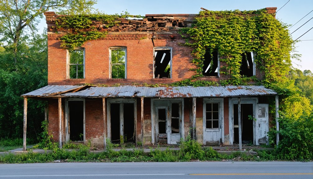
What remains at Kentucky’s ghost town sites varies sharply depending on how each town ended. At Blue Heron and Barthell, you’ll find preserved structures and historical exhibits built specifically for heritage tourism.
At flooded sites like Birmingham, you’ll find nothing above the waterline. Paradise leaves behind industrial remnants and environmental scarring rather than standing buildings.
Creelsboro retains scattered foundations and road traces. You can still walk through some of these places and uncover hidden artifacts embedded in overgrowth or soil layers.
Haunted legends attach themselves to nearly every site, but the physical evidence tells a more grounded story. What each location offers depends on how its industry collapsed, whether water or fire claimed it, and how much preservation effort followed afterward.
Which Kentucky Ghost Towns You Can Still Visit
Of Kentucky’s documented ghost towns, a handful remain accessible enough to justify a planned visit. Blue Heron in McCreary County functions as a preserved exhibit where you can walk through reconstructed structures and read firsthand accounts from former residents.
Barthell, nearby, operates as a heritage site where the coal camp’s layout remains largely intact.
Paradise in Muhlenberg County lets you witness urban decay firsthand, though industrial transformation has altered much of the original footprint.
Creelsboro in Russell County offers hidden ruins along the Cumberland River for those willing to explore independently.
Golden Pond, now inside Land Between the Lakes, exists primarily as a named location with minimal physical evidence.
Each site requires different preparation, so research access conditions, seasonal restrictions, and land ownership before you go.
How to Plan a Kentucky Ghost Town Road Trip
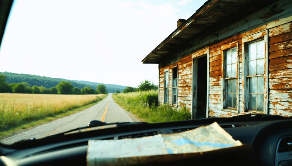
Planning a Kentucky ghost town road trip works best if you cluster sites by region rather than chase them individually across the state. McCreary County alone gives you Blue Heron and Barthell within close range.
Cluster your Kentucky ghost town stops by region — McCreary County alone pairs Blue Heron and Barthell in one efficient sweep.
Western Kentucky connects Paradise, Golden Pond, and Birmingham across a manageable corridor. You’ll cover more ground with less backtracking if you map stops before you leave.
Research each site before arriving. Some locations carry urban legends and famous legends tied to their industrial past, which adds historical context beyond the visible ruins. Verify road access, seasonal closures, and land ownership in advance.
Certain sites sit within protected areas requiring permits.
Bring documentation tools, wear practical gear, and treat each location as a primary historical source rather than a casual detour.
Frequently Asked Questions
Are There Any Kentucky Ghost Towns Located on Private Property?
Yes, some Kentucky ghost towns sit on private land. You’ll need to respect ghost town ownership boundaries before exploring. Always verify private land access rights beforehand, as trespassing laws apply even to historically significant or abandoned sites.
How Many Total Ghost Towns Are Officially Documented Across Kentucky?
You’ll find countless ghost towns scattered across Kentucky’s landscape! Officially, documented listings span 25+ pages, featuring abandoned mining towns with striking ghost town architecture — though records remain incomplete, meaning the true total’s likely far greater than any single list captures.
Did Any Kentucky Ghost Towns Ever Experience Revival or Repopulation?
You’ll find that Blue Heron and Barthell didn’t fully revive, but they’ve transformed their abandoned structures into heritage sites, letting you explore documented history rather than just haunted legends tied to forgotten communities.
Are Kentucky Ghost Towns Protected Under Any State Preservation Laws?
Like Blue Heron’s preserved coal camp, you’ll find that historical preservation efforts and legal protections vary — some sites fall under federal or state heritage programs, but Kentucky doesn’t uniformly shield every ghost town from development or decay.
Which Kentucky Ghost Towns Are Considered the Oldest Historically Documented Sites?
You’ll find Airdrie and Boone Furnace among Kentucky’s oldest historically documented sites, tied to early historical mining and iron industries. Burgess, an abandoned railroad town, also ranks among the earliest formally recorded settlements you can research.
References
- https://everafterinthewoods.com/abandoned-ghost-towns-in-kentucky-that-still-hold-echoes-of-the-past/
- https://en.wikipedia.org/wiki/Category:Ghost_towns_in_Kentucky
- https://www.onlyinyourstate.com/experiences/kentucky/12-ghost-towns-in-ky
- https://www.youtube.com/watch?v=D9gOmfCuKLs
- https://wbkr.com/visit-these-20-creepy-kentucky-ghost-towns-for-a-halloween-road-trip/
- https://www.youtube.com/watch?v=rcyyCKbvcaM
- https://en.wikipedia.org/wiki/List_of_ghost_towns_in_Kentucky
- https://www.youtube.com/watch?v=gELufUoh_CQ
- https://www.youtube.com/watch?v=3kMLESEo6NE
- http://freepages.rootsweb.com/~gtusa/history/usa/ky.htm