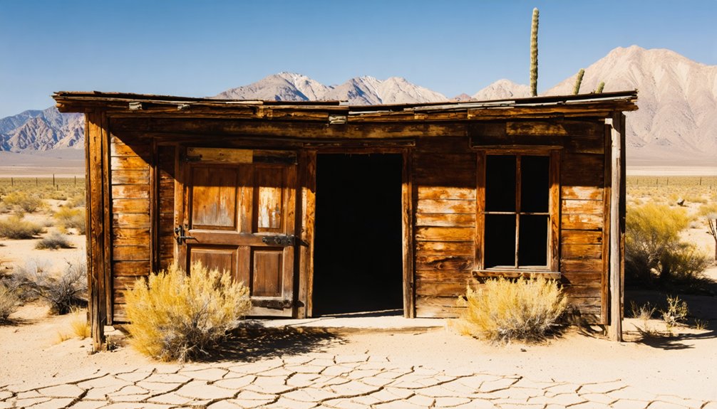
Planning a ghost town road trip to Blue Mountain, California means venturing into Calaveras County‘s rugged Sierra Nevada foothills, where history hides along Licking Fork creek. You’ll explore a remote flat bench where Blue Mountain City once thrived during the gold rush, linked to legendary mines like the Black Wonder and Gold King. Visit in late spring or early fall for the best conditions. Stick around—there’s plenty more to uncover about this forgotten California treasure.
Key Takeaways
- Blue Mountain City sits in Calaveras County’s Sierra Nevada foothills, roughly 20 miles northeast of Mountain Ranch along Licking Fork creek.
- Key historic mines including Black Wonder, Gold King, and Heckendorn define the site’s significant California Gold Rush heritage.
- Visit in late spring or early fall to enjoy mild temperatures, stable roads, and optimal canyon exploration conditions.
- Pack sturdy boots, water, a first aid kit, offline maps, and GPS tools for navigating remote and rugged terrain.
- Nearby ghost towns like West Point, Railroad Flat, and Glencoe complement Blue Mountain City within a rich historical corridor.
What Was Blue Mountain City, California?
Tucked into Calaveras County along the banks of Licking Fork, Blue Mountain City was a gold mining settlement built on a flat bench above a steep canyon slope. The camp itself clung to the canyon’s west side near the creek’s headwaters, roughly 20 miles northeast of Mountain Ranch.
Its historical significance lies in what it represents — a community carved from wilderness by ambition and the promise of gold. You’re looking at a place that embodied California’s mining heritage at its rawest.
The nearby Blue Mountain mining district, located about 10 miles southeast of West Point, housed operations like the Black Wonder, Gold King, and Heckendorn mines. These weren’t small ventures — they defined an era of relentless pursuit that shaped California’s identity.
Where Exactly Is Blue Mountain City Located?
You’ll find Blue Mountain City tucked away in Calaveras County, one of California’s most storied gold rush regions. The settlement sits along Licking Fork, a waterway that once defined the rhythm of mining life in the steep canyon below.
Head approximately 20 miles northeast of Mountain Ranch, and you’re closing in on one of the Sierra Nevada foothills’ most forgotten ghost towns.
Calaveras County’s Hidden Gem
Nestled in Calaveras County, Blue Mountain City sits along Licking Fork, roughly 20 miles northeast of Mountain Ranch. The settlement’s historical significance becomes clear once you understand its dramatic geography — builders constructed the town on a flat bench rising above a mining camp clinging to a steep canyon slope.
That camp occupied the west side of Licking Fork near its headwaters, where gold once drove ambitious men to carve civilization from rugged terrain.
A separate Blue Mountain mining district also exists approximately 10 miles southeast of West Point, expanding your exploration options considerably.
As you plan your route, use Mountain Ranch and West Point as navigational anchors. You’ll likely encounter mining relics scattered across both areas, offering tangible connections to California’s raw, restless gold rush era.
Along Licking Fork
Blue Mountain City hugs the banks of Licking Fork, a waterway that cuts through Calaveras County‘s rugged canyon country. The settlement sits roughly 20 miles northeast of Mountain Ranch, perched on a flat bench above a mining camp that clung to the canyon’s steep western slope. That elevation shift tells you everything about how miners lived here — always balancing ambition against brutal terrain.
When you visit, you’re tracing the same geography that once supported the Black Wonder, Gold King, and Heckendorn mines. Historical artifacts and mining ruins scattered near the headwaters reward those willing to explore carefully. The canyon’s isolation preserved this landscape remarkably well.
Follow Licking Fork upstream, keep your eyes open, and you’ll connect directly with California’s raw gold rush story.
Northeast Of Mountain Ranch
Where exactly do you pin Blue Mountain City on the map? Head to Calaveras County and position yourself roughly 20 miles northeast of Mountain Ranch. That’s your anchor point.
From there, you’re navigating toward a settlement that carries real historical significance, built on a flat bench above a steep canyon mining camp along Licking Fork.
This placement wasn’t accidental. Miners needed access to the canyon’s resources while maintaining a livable townsite above the rugged terrain.
Understanding this geography deepens your appreciation for the area’s mining history and the determination behind every structure once built here.
Before you hit the road, confirm your GPS coordinates. Remote Calaveras County terrain doesn’t forgive poor preparation, but it absolutely rewards the traveler willing to seek it out.
How Do You Get to Blue Mountain From Mountain Ranch?
To reach Blue Mountain City from Mountain Ranch, you’ll head northeast roughly 20 miles through Calaveras County’s rugged terrain.
Your route will require you to cross Licking Fork, the creek that once anchored the mining camp’s western bank.
Keep your GPS verified and your route confirmed before you go, since remote canyon roads can shift with seasonal weather.
Navigating From Mountain Ranch
Since Mountain Ranch serves as your primary landmark, you’ll want to head northeast for roughly 20 miles to reach Blue Mountain City in Calaveras County. The route traces toward Licking Fork, where the old mining camp once clung to a steep canyon slope above the water.
Before you set out, verify your GPS coordinates, since remote terrain and shifting road conditions can derail even confident navigators. You’ll likely need off-road capability to reach the flat bench where the town once stood.
Once there, keep your eyes open for historical artifacts and scattered mining equipment left behind from the district’s active years. Private land boundaries exist throughout the area, so respect posted signs and stay on accessible paths while exploring this rugged slice of California’s gold rush past.
Crossing Licking Fork
Crossing Licking Fork marks the final critical threshold between paved civilization and the rugged terrain surrounding Blue Mountain City‘s remnants. You’ll feel the shift immediately — smooth roads give way to raw landscape, and the creek crossing demands your full attention. Check water levels before you commit, since seasonal flows can make this crossing unexpectedly treacherous.
Once you’re across, you’re entering territory where historical artifacts and mining remnants quietly tell stories of ambition and hard labor. The flat bench above the canyon slope becomes your destination, rising from the steep walls that once sheltered an entire mining community. You’re not just driving — you’re threading through living history.
Bring waterproof boots, verify your GPS coordinates beforehand, and respect any private land boundaries you encounter along the way.
What Were the Black Wonder, Gold King, and Heckendorn Mines?
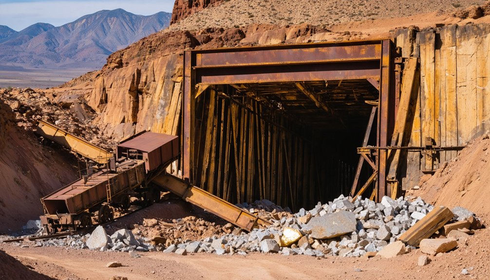
Within the Blue Mountain mining district, roughly 10 miles southeast of West Point, three mines drove the area’s gold rush ambitions: the Black Wonder, the Gold King, and the Heckendorn. Each name reflects the bold spirit of gold prospecting that defined California’s mining history.
Picture what this district once offered:
- Miners hauling ore from deep Black Wonder shafts carved into rugged hillsides
- The Gold King gleaming with promise beneath California’s relentless sun
- Heckendorn crews working claims staked by sheer determination and grit
- Dust-covered prospectors chasing fortunes through canyon terrain
You’re walking ground where real wealth was pulled from the earth. These weren’t romantic legends — they were working operations fueled by ambition. Understanding these mines deepens every step you take across this historic landscape.
What’s Left to See at the Blue Mountain Ghost Town Site?
Though little remains standing at Blue Mountain City today, the site still rewards curious visitors with a tangible sense of California’s gold rush past. You’ll find the flat bench where the town once sat above the canyon slope, offering a clear picture of how miners organized life in such rugged terrain.
Scattered historical artifacts — rusting equipment, mine debris — hint at the ambition that once drove men here. The steep canyon walls along Licking Fork remain largely unchanged, framing the landscape much as early settlers saw it.
Preservation efforts in Calaveras County encourage respectful exploration, so document what you discover through photography rather than removing anything. Come prepared for rough terrain, and you’ll leave with a deeper appreciation for this forgotten corner of California’s mining heritage.
Is the Blue Mountain Site Safe and Legally Accessible?
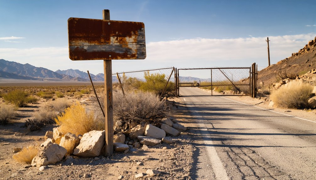
Reaching Blue Mountain City demands careful planning, because the remote canyon terrain along Licking Fork presents real risks before you even set foot on the site. Steep slopes, unpredictable weather, and off-road conditions can turn an adventure sideways fast.
Legal access also matters deeply here, since private land boundaries intersect parts of the mining district.
Before you go, prepare for these realities:
- Verify GPS coordinates — outdated maps won’t cut it on unmarked canyon roads
- Check land ownership — trespassing undermines historical preservation efforts and carries legal consequences
- Assess weather conditions — Licking Fork roads flood quickly after rain
- Pack appropriately — rugged footwear and water are non-negotiable on unstable terrain
Respecting legal access boundaries keeps the site protected and guarantees future explorers can experience this gold rush legacy too.
When Is the Best Time to Visit Blue Mountain?
Late spring and early fall offer you the best windows to visit Blue Mountain, when mild temperatures make hiking the steep canyon slopes manageable. Licking Fork’s unpredictable weather stays relatively calm during these times.
You’ll want to avoid winter months, when rain and snow can render remote access roads impassable and dangerous.
Summer visits are possible, but scorching Sierra Nevada heat and dry conditions can make the canyon terrain uncomfortably harsh for exploration.
Ideal Visiting Seasons
Spring and fall offer the best windows for visiting Blue Mountain City, when mild temperatures make hiking steep canyon terrain far more manageable. You’ll move freely through the landscape, spot historical artifacts without summer haze obscuring details, and prioritize visitor safety on unpredictable slopes.
- Spring: Wildflowers frame rusting mining equipment against fresh canyon greenery
- Fall: Golden foliage highlights the flat bench where the original town stood
- Summer: Intense heat and fire risk make remote access genuinely dangerous
- Winter: Muddy roads along Licking Fork can strand unprepared vehicles completely
Plan your route from Mountain Ranch or West Point during shoulder seasons, pack layers, and verify road conditions beforehand.
The site rewards adventurous, self-reliant travelers who respect both nature and history.
Weather And Road Conditions
Weather shapes every aspect of your visit to Blue Mountain City, from whether dirt roads along Licking Fork hold firm beneath your tires to whether canyon slopes stay safe enough to traverse on foot. Spring delivers muddy, unstable terrain after snowmelt, making access unpredictable.
Summer heat dries roads solid but demands extra water for both you and any wildlife you’ll encounter along canyon trails. Fall offers the clearest conditions, firm ground, cooler temperatures, and fewer crowds.
Winter closes routes entirely after heavy snowfall. Historical preservation depends partly on responsible visitor timing, since erosion accelerates when wet-season foot traffic disturbs fragile remnants.
Check local road reports before departing, confirm weather forecasts for Calaveras County, and always carry emergency supplies. Freedom on remote roads demands preparation.
What Are Road and Weather Conditions Like Near Blue Mountain?
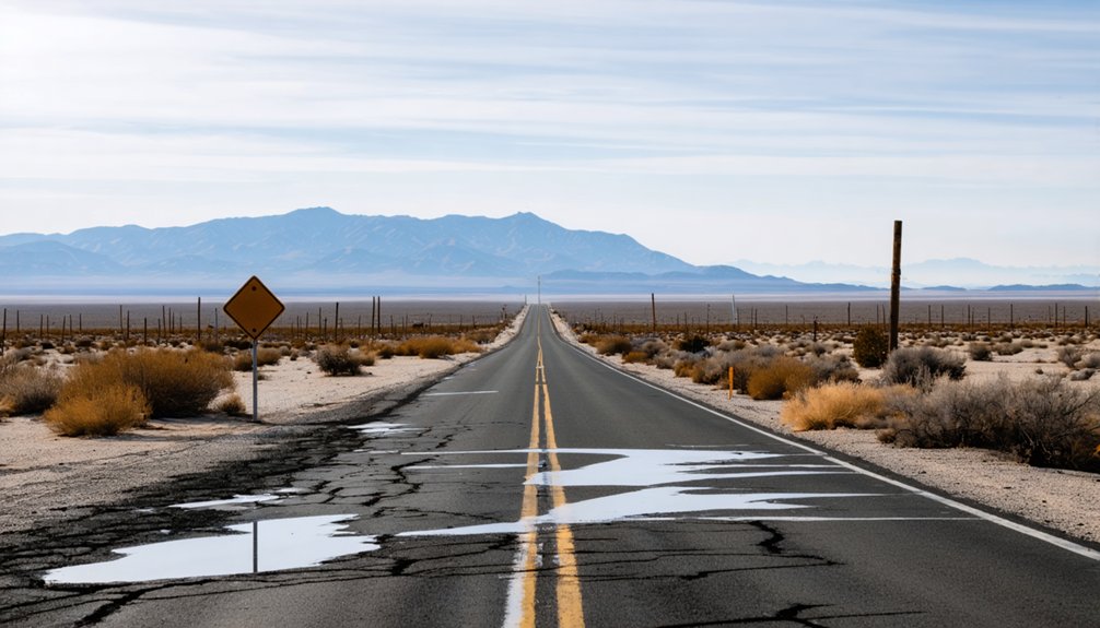
Reaching Blue Mountain City means maneuvering roads that shift dramatically with the seasons. Mining history shaped these remote trails, and road accessibility remains unpredictable year-round. Before you roll out, know what you’re facing:
Roads to Blue Mountain City shift with the seasons—unpredictable, unforgiving, and shaped by a rugged mining past.
- Winter storms blanket canyon slopes in mud and ice, turning dirt tracks into slick, impassable routes
- Spring runoff swells Licking Fork, flooding low-lying crossings and cutting off access entirely
- Summer heat bakes the terrain dry, kicking up dust clouds along narrow switchbacks
- Fall offers the clearest window, with cooler temps and firmer ground beneath your tires
Always verify GPS coordinates before heading out, and check local weather forecasts religiously.
Private land boundaries add another layer of complexity, so research your route thoroughly before chasing this ghost town.
What Should You Bring to Blue Mountain and Similar Remote Sites?
Before you chase down Blue Mountain City’s canyon trails, pack like your safety depends on it—because it does. Essential gear starts with navigation tools—download offline maps and verify GPS coordinates before leaving cell range.
Bring enough water for the full day since Licking Fork’s terrain drains energy fast on steep slopes.
Your safety tips checklist should include:
- First aid kit for cuts and twisted ankles on rugged ground
- Sturdy boots to handle loose canyon soil
- Weather layers since mountain temperatures shift quickly
- Flashlight or headlamp if exploration runs long
- Camera to document rusting equipment and remaining structures
Tell someone your planned route before departing. Private land boundaries exist throughout the district, so carry printed access information and respect every posted sign you encounter.
Which Other Ghost Towns Near Blue Mountain Are Worth the Drive?
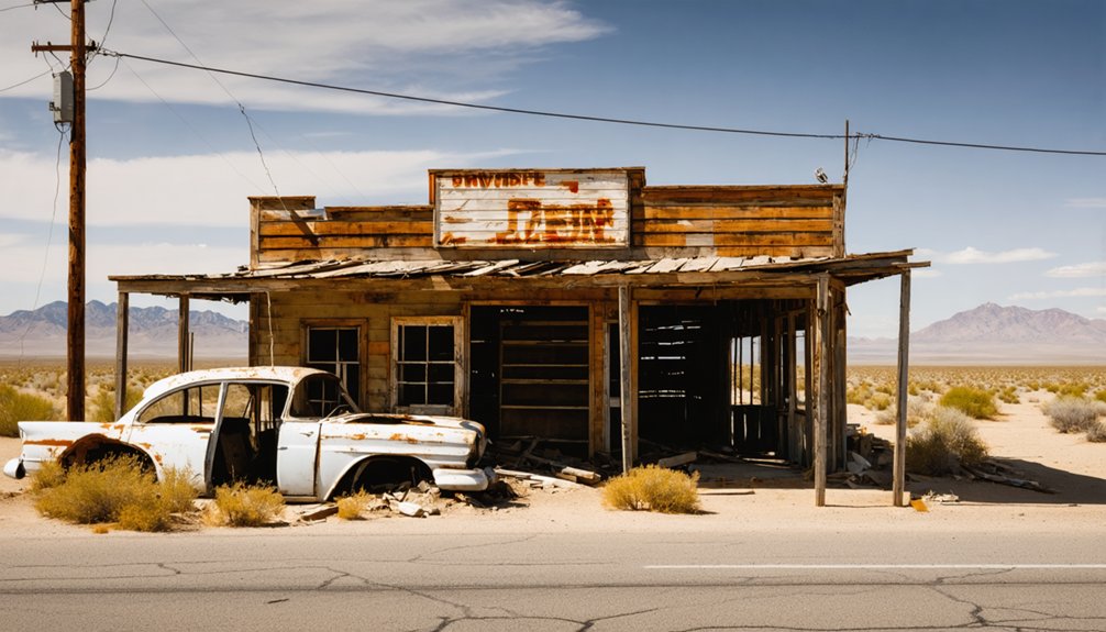
Once your pack’s loaded and your route’s confirmed, Calaveras County rewards you with more than just Blue Mountain City—it’s a ghost town corridor worth stretching into a full road trip. Several nearby sites carry deep historical significance and keep the gold rush story alive.
Calaveras County is more than one ghost town—it’s an entire corridor of gold rush history waiting to be explored.
- Mountain Ranch – a weathered crossroads town with structures still standing.
- West Point – your gateway hub near the Blue Mountain mining district, dotted with rusting mining equipment.
- Railroad Flat – a quiet former supply town with authentic frontier character.
- Glencoe – a small settlement where canyon scenery matches its storied past.
Each stop adds another layer to California’s boom-and-bust legacy. Chain these destinations together, and you’ll cover real ground through history without backtracking unnecessarily.
Frequently Asked Questions
Are Guided Tours Available for Visiting Blue Mountain City Ghost Town?
No official guided tour options exist for Blue Mountain City, but you’ll find independent exploration rewarding. Research tour reservation tips with local Calaveras County historical groups, as they’re your best resource for organized visits.
Can I Find Historical Photographs or Maps of Blue Mountain City Online?
You can explore historical archives and browse digital collections to uncover photographs and maps of Blue Mountain City. Search, discover, and connect with California’s gold rush past through university libraries and online genealogy databases.
Are There Camping Facilities Near the Blue Mountain Ghost Town Site?
You won’t find dedicated camping amenities directly at the remote site, but Calaveras County offers nearby accommodations and campgrounds where you can base your adventure while exploring Blue Mountain City’s fascinating ghost town history freely.
Has Blue Mountain City Appeared in Any Books or Documentaries?
Like a whisper lost in canyon winds, Blue Mountain City’s historical significance lives on. You won’t find major literary references, but it appears in California ghost town guides and regional mining history books documenting Gold Rush heritage.
Are Metal Detectors Permitted at the Blue Mountain Mining District Site?
The knowledge doesn’t confirm metal detecting regulations for Blue Mountain’s mining district. You’ll want to check local rules before bringing mining equipment, as private land boundaries could restrict your freedom to explore freely there.
References
- https://en.wikipedia.org/wiki/Blue_Mountain_City
- https://www.youtube.com/watch?v=WfTCoo9uqjU
- https://www.visitcalifornia.com/road-trips/ghost-towns/
- https://traveloregon.com/things-to-do/culture-history/ghost-towns/bourne/



