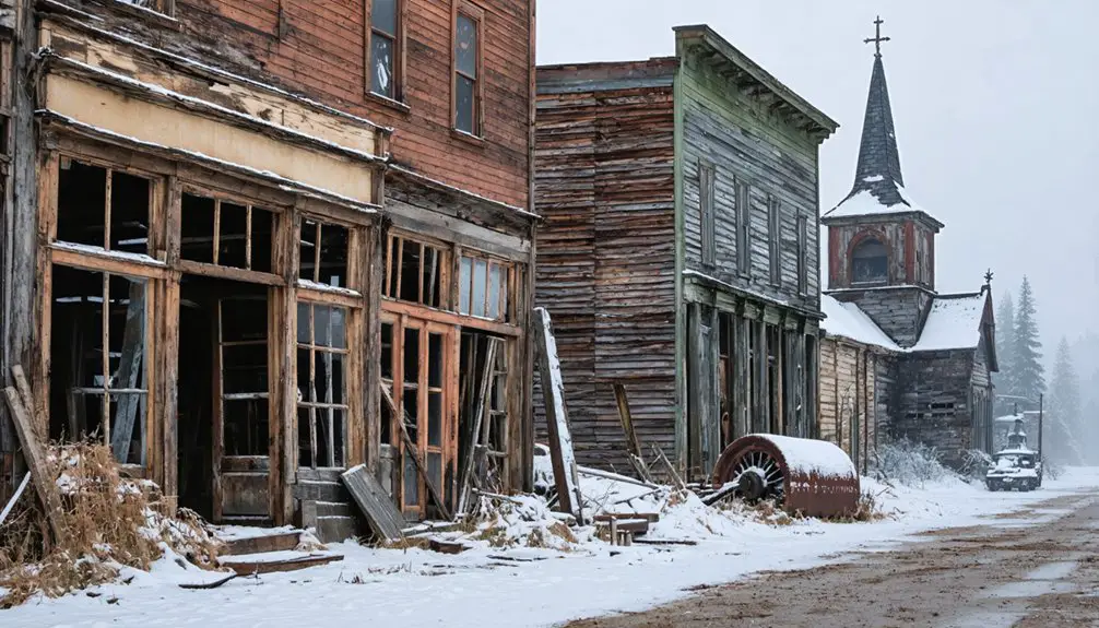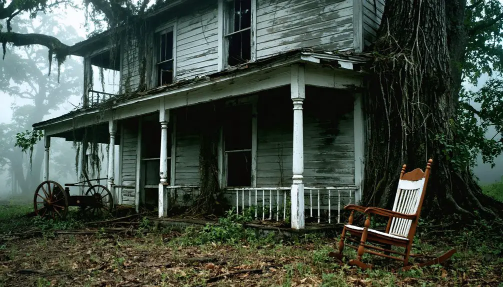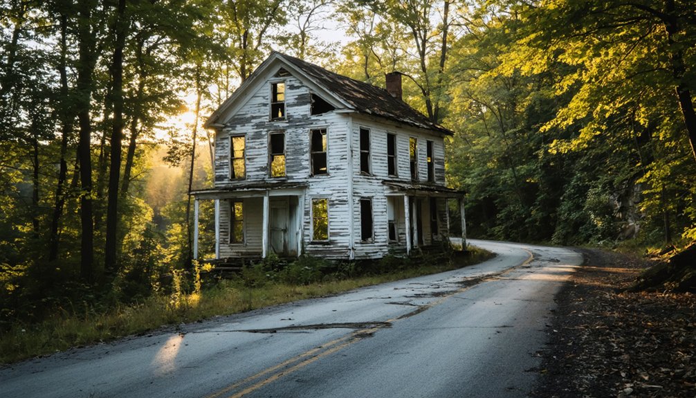
Brink, West Virginia sits about 4 miles northwest of White Sulphur Springs along the Greenbrier River, and it’s as close to a true ghost town as you’ll find in Appalachia. Founded around 1865–66, this post-Civil War settlement quietly faded until almost nothing remained. Today, you’ll find an abandoned house, an old church near Loopemount, and open land marking where a community once stood. Stick around, and you’ll uncover everything you need to plan your trip.
Key Takeaways
- Brink lies about 4 miles northwest of White Sulphur Springs along the Greenbrier River, making it your ideal starting point.
- Only an abandoned house and old church near Loopemount remain, so temper expectations for visible structures.
- Roads to Brink are rural, unimproved, and seasonally hazardous; high-clearance vehicles and offline maps are strongly recommended.
- No visitor amenities, guided tours, or marked trails exist, so plan for fully independent, self-guided exploration.
- Check road and weather conditions before departing, as rain, ice, and spring flooding can make access impossible.
What Is Brink, West Virginia?
Tucked along the Greenbrier River in southeastern West Virginia, Brink is a ghost town that’s nearly vanished from the landscape. Brinkley M. Snodgrass founded it in 1865–66, placing its origins in the post-Civil War era when small rural settlements were carving out space across the region.
Once established enough to appear on USGS maps as late as 1923, Brink has since faded into near-erasure. Today, you’ll find little more than an abandoned house and church near Loopemount. No formal preservation efforts protect the site, and historical artifacts are scarce.
It sits about 4 miles northwest of White Sulphur Springs in Greenbrier County, making it accessible as a roadside stop. Brink’s story reflects the broader pattern of Appalachian communities that quietly disappeared after their founding energy ran out.
How Brink Went From Post-Civil War Settlement to Ghost Town
Brink didn’t disappear overnight. Brinkley M. Snodgrass founded the settlement in 1865–66, right after the Civil War, when small communities were pushing into every river corridor they could find.
For a time, Brink held its ground along the Greenbrier River, functioning as a modest but real community.
Then, like hundreds of similar towns across West Virginia, it quietly faded as economic pressures shifted and residents moved on.
How to Reach Brink From White Sulphur Springs
White Sulphur Springs is your best starting point for reaching Brink, sitting just 4 miles to the southeast of the ghost town.
From there, you’ll head northwest along local roads, following the Greenbrier River corridor toward the area near Loopemount.
Keep your navigation flexible, since you’re working with rural backroads rather than well-marked tourist routes.
Starting Point In White Sulphur Springs
Since Brink sits roughly 4 miles northwest of White Sulphur Springs, that small Greenbrier County town makes the most logical jumping-off point for your visit. You’ll find it easy to orient yourself before heading into quieter back roads toward the ghost town.
Before you leave White Sulphur Springs, handle these four essentials:
- Fill your gas tank — services disappear quickly once you head northwest.
- Research local legends — residents sometimes share stories tied to the area’s vanished communities.
- Note historical landmarks — downtown White Sulphur Springs offers context for the region’s post-Civil War era.
- Download offline maps — cell coverage along the Greenbrier River corridor can be unreliable.
You’re now positioned to make a confident, informed push toward one of West Virginia’s most quietly erased settlements.
Leaving White Sulphur Springs, you’ll head northwest along local roads that trace the Greenbrier River corridor toward Brink, roughly 4 miles out. The drive is straightforward, but pay attention to landmarks like Loopemount, which sits near the site’s surviving structures.
No major highway leads directly to Brink, so you’re steering through quieter county roads that reward patience and curiosity.
As you get closer, the landscape itself tells the story. Locals occasionally share fragments of history and local folklore tied to founder Brinkley M. Snodgrass and the town’s post-Civil War roots.
While formal preservation efforts here remain minimal, the abandoned house and church still standing near Loopemount are your clearest markers. Keep your eyes open — Brink doesn’t announce itself; you have to find it.
What You’ll Actually Find at Brink Today
Although Brink once stood as a functioning river settlement, today you’ll find almost nothing left. The site rewards explorers who appreciate subtlety over spectacle. Look closely, and the abandoned structures quietly tell their story.
Here’s what you can realistically expect:
- An abandoned house near Loopemount — weathered but standing
- An old church — a rare survivor hinting at the community’s former social life
- Open, mostly empty land — the town’s footprint has nearly vanished
- Local legends — ask nearby residents about Brinkley M. Snodgrass and the settlement’s post-Civil War origins
You won’t find marked trails or visitor centers. That raw, unfiltered emptiness is exactly the point. Brink gives you the freedom to interpret history on your own terms.
What the Terrain Demands Before You Drive Out
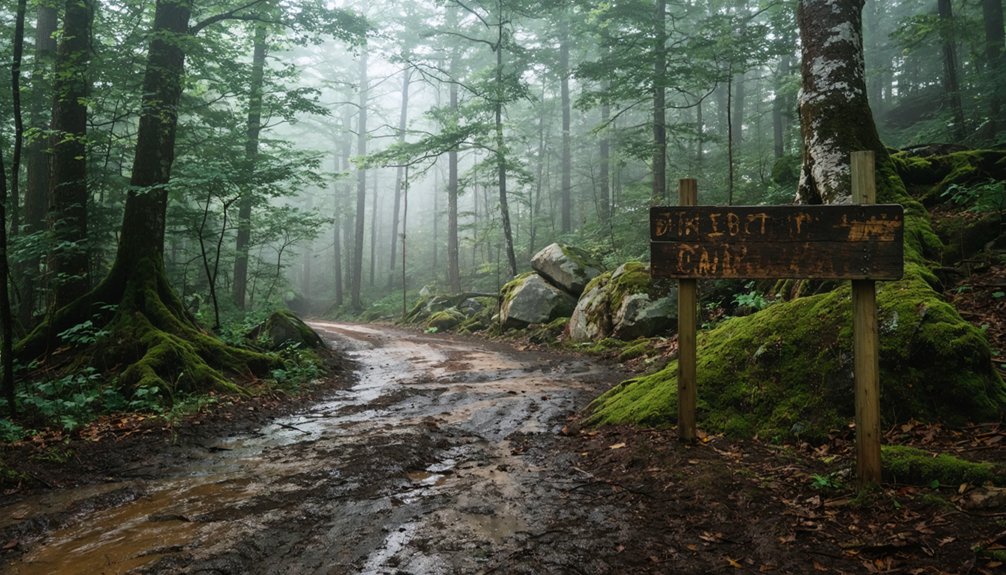
Before you point your car toward Brink, you need to be honest about what the roads out here actually are — narrow, rural, and largely unimproved.
Seasonal conditions can turn a manageable drive into a slow crawl or worse, especially after heavy rain or winter weather softens the ground along the Greenbrier River corridor.
Check local road conditions ahead of time and consider whether your vehicle handles rough surfaces before you commit to the trip.
Road Conditions Near Brink
Reaching Brink means committing to the kind of rural West Virginia roads that don’t forgive unprepared drivers. Local roads near Loopemount and White Sulphur Springs carry you into terrain where historical preservation matters more than convenience. Road safety isn’t optional here — it’s your first responsibility.
Before you roll out, check these four conditions:
- Surface quality — expect gravel, uneven pavement, and seasonal damage
- Weather impact — rain turns soft shoulders into hazards fast
- Clearance needs — low-clearance vehicles struggle on rutted back roads
- Cell coverage — signal drops quickly once you leave White Sulphur Springs
You’re chasing freedom out here, but freedom works best when you’ve planned smart. Know the road before the road surprises you.
Seasonal Access Challenges
Seasonal terrain around Brink doesn’t stay consistent, and what’s passable in July can turn genuinely hostile by November. Summer gives you firm ground, longer daylight, and manageable river conditions along the Greenbrier corridor.
Fall shifts things fast — wet leaves obscure road edges, mud softens shoulders, and visibility drops through the hollows.
Winter closes the window almost entirely. Ice forms on shaded rural stretches without warning, and no services exist nearby to bail you out.
Spring thaw brings flooding risks close to the river, washing out low sections of local roads entirely.
Visitor safety here depends on honest timing. Check forecasts before you leave White Sulphur Springs, and treat historical preservation as a reason to tread carefully — damaged access roads discourage future explorers from reaching what little remains.
Ghost Towns Near Brink Worth Adding to Your Route
Since Brink sits in Greenbrier County‘s southeastern corner, you’re already well-positioned to explore other ghost towns scattered across West Virginia’s river valleys and former coal corridors. The region’s abandoned buildings and local legends make each stop uniquely rewarding.
Add these nearby ghost towns to your route:
- Thurmond – A nearly intact railroad town frozen in time along the New River.
- Nuttallburg – A former coal camp with striking industrial ruins clinging to canyon walls.
- Elverton – A quiet, faded settlement tucked into Greenbrier County’s back roads.
- Military – A small ghost town remnant accessible near the Greenbrier River corridor.
Each site deepens your understanding of West Virginia’s boom-and-bust cycles without requiring major detours from your Brink-centered itinerary.
Why Brink Belongs on Your West Virginia Road Trip
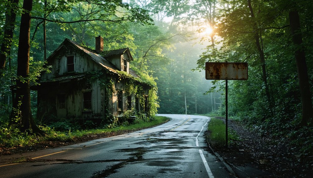
Although Brink won’t greet you with a visitor center or a gift shop, that’s exactly what makes it worth the detour. You’re not following a scripted tour — you’re standing where a community once lived, worked, and disappeared. That kind of raw historical preservation hits differently than a polished museum exhibit.
No visitor center. No gift shop. Just the raw, unfiltered feeling of standing where a community once lived and vanished.
Brink’s cultural significance lies in what it represents: a post-Civil War settlement that rose, held on, and quietly vanished. Founded along the Greenbrier River in 1865–66, it tells West Virginia’s boom-and-bust story without exaggeration.
An abandoned house and church near Loopemount are all that remain, and that scarcity is the point.
If you value the freedom to explore on your own terms, Brink delivers an honest, unfiltered encounter with history.
Frequently Asked Questions
Is There a Parking Area or Designated Lot Near Brink?
You won’t find designated parking options or nearby amenities at Brink—it’s a remote ghost town! Pull off safely on local roads, respect the land, and embrace the freedom of exploring this nearly vanished West Virginia settlement independently.
Are There Any Entrance Fees or Permits Required to Visit Brink?
You don’t need entrance fees or permits to explore Brink’s historical significance. Simply drive out, soak in the local legends surrounding this ghost town, and roam freely among the abandoned church and house near Loopemount.
What Is the Best Time of Year to Visit Brink?
Spring and fall offer you the best visits, when mild weather enhances Brink’s historical significance and eerie atmosphere. You’ll explore its abandoned church and house comfortably while connecting with local legends surrounding this nearly forgotten West Virginia ghost town.
Is Brink Accessible to Visitors With Mobility Limitations?
Brink doesn’t offer mobility accommodations or wheelchair accessibility, as you’ll navigate rural, unpaved terrain to reach its few remaining structures. You’ll want sturdy footwear and reliable footing to freely explore this beautifully raw, nearly vanished mountain settlement.
Are Photography or Drone Flights Permitted at the Brink Site?
No specific photography restrictions exist at Brink, so you’re free to capture its haunting remnants. However, you’ll want to check current FAA drone regulations before launching any flights over this remote, historically significant ghost town site.
References
- https://en.wikipedia.org/wiki/Brink
- https://kids.kiddle.co/Brink
- https://kids.kiddle.co/List_of_ghost_towns_in_West_Virginia