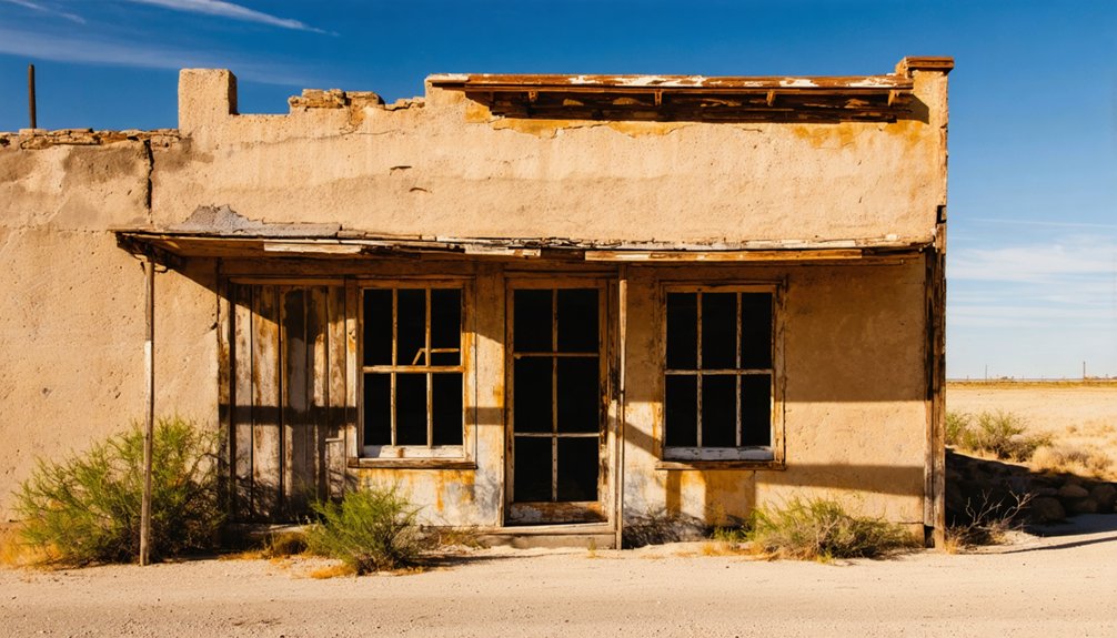
Canyon City, Texas isn’t your typical ghost town — it’s buried beneath Canyon Lake, deliberately flooded when Canyon Dam was completed in 1964. You’ll find no crumbling storefronts here, just a quiet stretch of FM 306 about 13 miles northwest of New Braunfels, where the shoreline occasionally reveals submerged remnants during low water levels. Visit in spring or early fall for the best conditions. There’s far more to this sunken story than meets the eye.
Key Takeaways
- Canyon City is a ghost town in Comal County, submerged beneath Canyon Lake after Canyon Dam was completed in 1964 by the U.S. Army Corps of Engineers.
- Take FM 306 northwest from New Braunfels for 13 miles, using Canyon Dam as your primary navigation landmark along the Guadalupe River.
- Visit during late spring or early fall for mild temperatures, fewer crowds, and lower water levels that expose more shoreline remnants.
- Bring water, sunscreen, waterproof boots, and a camera, as the experience is landscape-driven with minimal signage and no formal parking.
- Combine your visit with nearby ghost towns like Smithson Valley, Hancock, Zipp City, and Solms for a fuller Hill Country ghost town circuit.
What Is Canyon City, Texas?
Although it doesn’t appear on most modern maps, Canyon City is a ghost town community tucked along the Guadalupe River in Comal County, Texas, roughly 13 miles northwest of New Braunfels on Farm Road 306. Its roots stretch back to the mid-19th century, when it functioned as a small river settlement in the Canyon Basin north of San Antonio.
Everything changed in 1964 when Canyon Dam was completed, and Canyon Lake effectively swallowed much of the original townsite.
Today, Canyon City sits within the Canyon Lake census-designated place, its historical reconstruction possible only through old records and shoreline exploration. That cultural significance makes it worth your time — not as a destination with active attractions, but as a tangible reminder of how water and infrastructure can erase entire communities from the map.
The Dam That Erased Canyon City
When the U.S. Army Corps of Engineers completed Canyon Dam in 1964, Canyon City’s fate was sealed. The reservoir swallowed the old river community, transforming a living settlement into a submerged memory.
Historical preservation efforts never saved the town itself.
Here’s what the dam’s creation meant for Canyon City:
- The original community vanished beneath Canyon Lake’s rising waters
- Underwater exploration opportunities emerged, drawing divers curious about submerged structures
- Population stalled at 100 residents through 1970 and beyond, reflecting the community’s near-erasure
- Flood events in 1998 and 2002 further damaged whatever remained above the waterline
You’re visiting a place where a reservoir replaced a river settlement. That tension between progress and loss is exactly what makes Canyon City worth your road trip stop.
When to Visit Canyon City and the Reservoir Shoreline
If you’re planning a visit to Canyon City and the Canyon Lake shoreline, late spring and early fall offer the most comfortable conditions, with mild temperatures and lower crowds than the peak summer season.
Water levels shift markedly depending on rainfall and seasonal drawdown, so you’ll want to check current reservoir conditions before you go, since lower water can expose more of the old settlement area along the shoreline.
Access points vary throughout the year, and some stretches of the shoreline become impassable after heavy rain or flooding, so confirming trail and road conditions ahead of time will save you a wasted trip.
Best Seasonal Visit Times
Timing your visit to Canyon City and the Canyon Lake shoreline can make a real difference in what you’re able to see and explore.
- Spring (March–May): Lower water levels expose more shoreline, improving historical preservation discovery and access to submerged remnants.
- Fall (September–November): Cooler temperatures make hiking and exploration comfortable, with fewer crowds along FM 306.
- Winter (December–February): Quietest season for solitary exploration; wildlife observation peaks as migratory birds settle near the Guadalupe River corridor.
- Summer (June–August): Heaviest recreational traffic surrounds Canyon Lake. Visiting early morning helps you avoid crowds while still *orchestrating* the area effectively.
Avoid planning trips immediately after heavy rainfall, since flood conditions can restrict shoreline access and obscure key historical landmarks near the old settlement.
Water Levels And Visibility
Seasonal timing shapes your visit in more ways than temperature and crowd levels — water levels directly control how much of the old Canyon City settlement you’ll actually be able to see. Water level fluctuations at Canyon Lake expose or conceal remnants of the original river community throughout the year.
During drier periods or managed drawdowns, you’ll gain access to shoreline areas where historical artifacts and structural traces occasionally emerge from the lakebed. After heavy rainfall or seasonal reservoir filling, those same areas disappear beneath the surface entirely.
Check current lake elevation data through the U.S. Army Corps of Engineers before you go. Arriving during lower water conditions gives you the best chance of witnessing the ghost town’s physical remnants firsthand, turning a shoreline walk into genuine historical discovery.
Shoreline Access Conditions
Beyond water levels themselves, physical access to Canyon City’s shoreline depends on a combination of season, weather history, and land use conditions you’ll want to research before making the drive.
Before heading out, check these four conditions:
- Recent rainfall — Heavy rains accelerate shoreline erosion, destabilize banks, and bury potential historical artifacts under fresh sediment.
- Seasonal lake levels — Summer drawdowns sometimes expose previously submerged ground, improving access considerably.
- Land ownership boundaries — Some shoreline sections are privately held; trespassing isn’t the freedom you’re after.
- Post-flood debris — Flood events like those in 1998 and 2002 left lasting landscape changes that still influence walkable areas today.
Arrive informed, respect boundaries, and you’ll give yourself the best chance of a genuinely rewarding exploration.
How to Reach Canyon City on FM 306
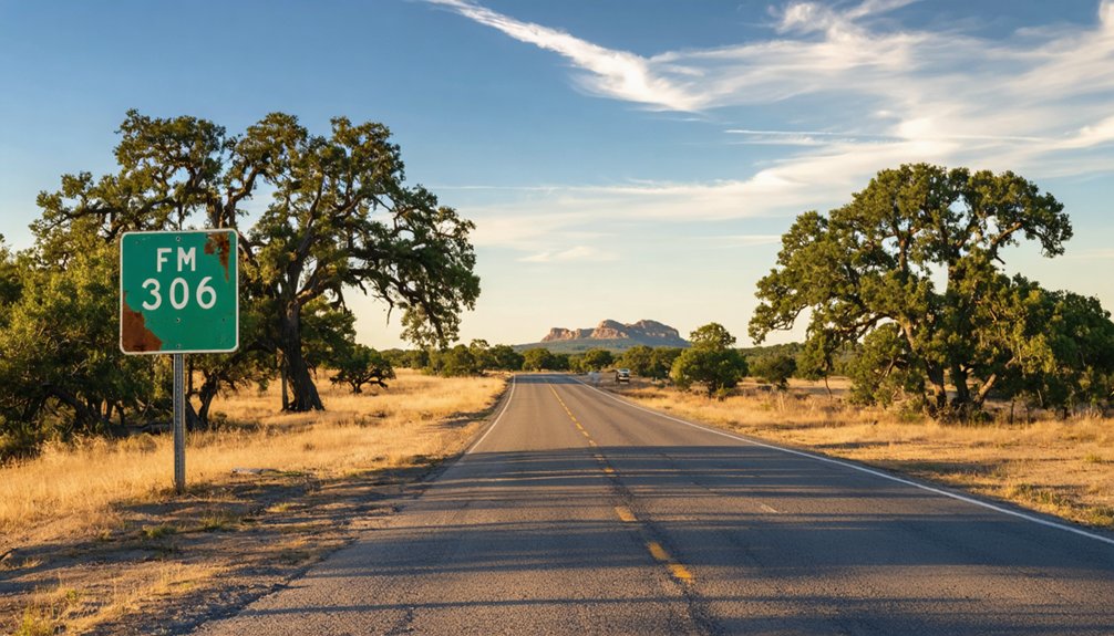
To reach Canyon City, you’ll start in New Braunfels and head northwest on FM 306, following the Guadalupe River corridor for roughly 13 miles.
The road traces the edge of the old Canyon Basin, pulling you closer to the reservoir landscape with each mile.
Once you spot Canyon Dam overhead, you’re fundamentally at the threshold of the former community site.
Starting From New Braunfels
If you’re starting your road trip from New Braunfels, FM 306 is your direct route northwest toward Canyon City, carrying you roughly 13 miles along a corridor that traces the Guadalupe River into Comal County’s Hill Country terrain. This drive rewards those who value historical preservation and wildlife observation equally.
Watch for these landmarks as you travel FM 306:
- Guadalupe River crossings — visible reminders of the waterway that shaped Canyon City’s identity
- Canyon Dam — your signal that you’ve entered the reservoir landscape
- Roadside wildlife — deer and birds frequent this Hill Country stretch
- Shoreline pulloffs — spots where water levels may reveal old settlement remnants
Stay alert, drive at your own pace, and let the landscape tell its story.
Following FM 306 Northwest
Once you leave New Braunfels behind, FM 306 pulls you steadily northwest through a landscape that shifts from suburban edges into open Hill Country terrain. The road traces the Guadalupe River corridor, giving you glimpses of cedar-covered ridges and river bottomland before Canyon Dam comes into view.
You’re covering roughly 13 miles, but the drive carries real historical preservation weight — this route connects a modern lake recreation area to a community that existed long before the reservoir erased it. Pay attention to the shoreline conditions as you approach Canyon Lake’s boundaries.
Community archaeology enthusiasts recognize this stretch as layered ground, where mid-19th century settlement history sits beneath recreational development. Keep your speed measured and your eyes open. The road itself is your first piece of evidence.
Locating Canyon Dam Landmark
Canyon Dam rises into view as FM 306 bends northwest past the Canyon Lake shoreline, and that’s your clearest signal that Canyon City’s historic ground is directly beneath you. The dam, completed in 1964, permanently altered this river settlement, making historical preservation nearly impossible for what once stood here.
Underwater archaeology enthusiasts recognize this site as one of Texas’s more intriguing submerged landscapes.
Use these four landmarks to orient yourself:
- Canyon Dam structure — your primary visual anchor
- FM 306 corridor — follow it northwest from New Braunfels
- Guadalupe River channel — runs directly below the dam
- Canyon Lake shoreline — marks the reservoir’s reach over the original townsite
Pull over safely, read the landscape, and let the water tell Canyon City’s story.
What You Can Actually See at Canyon City Today
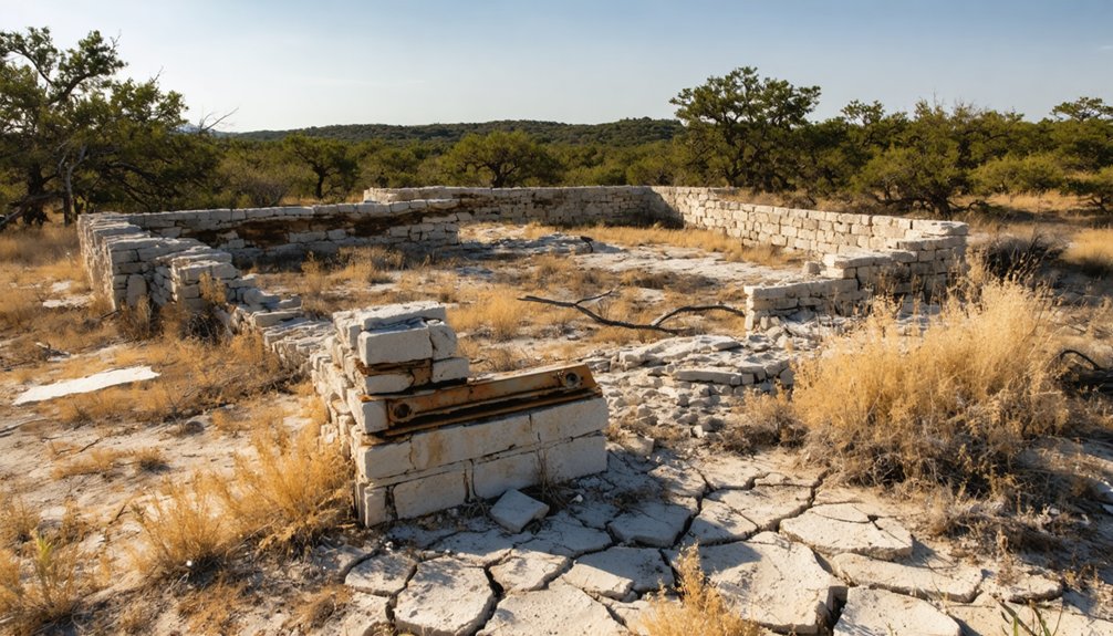
Arriving at Canyon City, you’ll quickly realize this isn’t a ghost town with dramatic crumbling facades or weathered storefronts waiting for your camera. What you’ll find instead is a quiet stretch along FM 306, framed by the Guadalupe River and the reservoir shoreline just below Canyon Dam.
The visible landscape reflects community redevelopment rather than frozen-in-time ruins — residential properties and recreational access points have replaced the original settlement. Historic preservation efforts here aren’t about restored buildings; they’re about understanding what the waterline swallowed after 1964.
Depending on drought conditions, receding water levels occasionally expose remnants of the old community. You’re fundamentally reading the land itself. Bring your curiosity, adjust your expectations, and let the reservoir’s edge tell the story that no standing structure can.
Other Comal County Ghost Towns Near Canyon City
While Canyon City makes a compelling anchor for your road trip, Comal County hides several other ghost towns worth tracing across the Hill Country landscape. Historical preservation efforts remain uneven here, but local legends keep these forgotten places alive.
- Smithson Valley – Once a modest farming settlement, it’s now absorbed by suburban sprawl but retains old cemetery markers worth finding.
- Hancock – A quietly vanished river community with scattered stone foundations you can still locate.
- Zipp City – A short-lived settlement tied to early German immigration and Hill Country land speculation.
- Solms – Named after a German prince, this community faded fast but left behind cultural echoes in local architecture.
String these stops together and you’ll build a genuinely rewarding Comal County ghost town circuit.
Road Conditions, Parking, and What to Bring to Canyon City
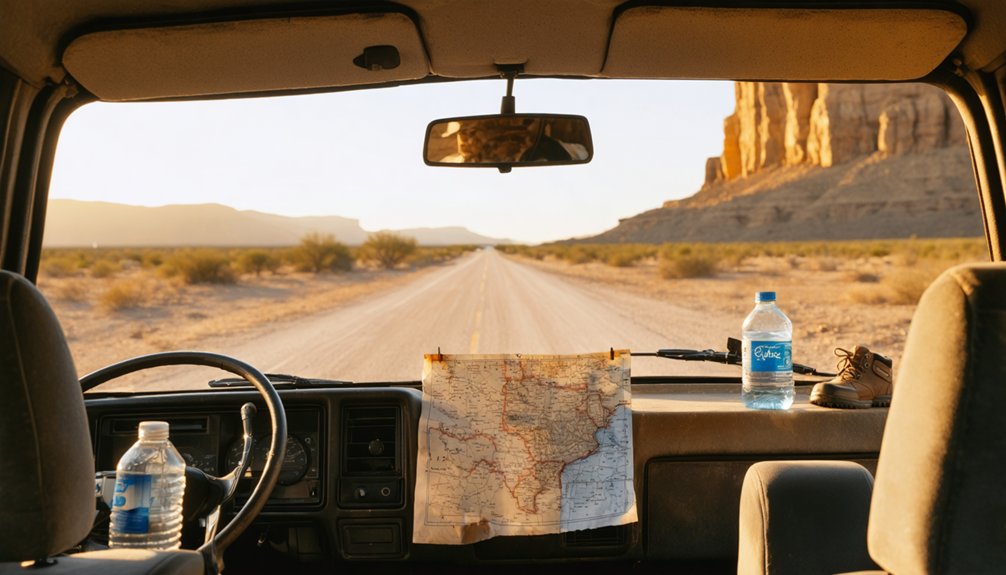
Getting to Canyon City means steering FM 306, a well-maintained rural highway that runs through the Hill Country with minimal traffic on most weekdays. Roadside pulloffs near Canyon Dam give you the best vantage points without blocking traffic. No formal parking lot marks the old town site, so you’ll rely on wide gravel shoulders.
Pack these essentials before you leave:
- Water and sunscreen — shade is limited along the shoreline
- Waterproof boots — shoreline terrain gets muddy after rainfall
- A camera — shifting water levels occasionally expose remnants tied to urban legends about submerged structures
- Research notes — preservation efforts remain minimal, so self-guided context matters
Expect a stripped-down experience where the landscape tells the story more than any signage ever could.
Frequently Asked Questions
Is Canyon City in Comal County the Same as Canyon, Texas?
They’re worlds apart! Canyon City’s your Comal County ghost town full of urban legends and submerged local attractions near Canyon Lake. Canyon, Texas sits way up in the Panhandle’s Randall County — you’d drive forever to confuse them!
What Flood Events Have Historically Damaged the Canyon City Area?
You’ll find that historic flood impacts struck Canyon City in 1998 and 2002, causing widespread damage. Despite flood prevention measures, the area’s Guadalupe River setting keeps it vulnerable, making it a fascinating yet force-of-nature-shaped destination.
What Was Canyon City’s Recorded Population in 1970 and 2000?
You’ll find Canyon City’s historical population trends remarkably static — it recorded just 100 residents in both 1970 and 2000. These demographic shifts, or lack thereof, reveal a nearly vanished community quietly fading into Texas ghost town history.
Can Divers Legally Explore Submerged Structures Beneath Canyon Lake?
The knowledge doesn’t confirm whether you can legally dive to explore submerged structures beneath Canyon Lake. You’ll want to check with local Texas authorities before attempting any underwater exploration of this ghostly, fascinating site.
What Century Did Canyon City’s Earliest Settlement Roots Originate From?
You’ll find Canyon City’s earliest settlement roots stretching back to the 19th century, where early settler stories shaped its identity. Explore the historic architecture remnants that echo a freedom-seeking frontier spirit from that formative era.
References
- https://en.wikipedia.org/wiki/Canyon_City
- https://pl.abcdef.wiki/wiki/Canyon_City
- https://www.texasescapes.com/TexasPanhandleTowns/CanyonTexas/CanyonTexas.htm
- https://de.abcdef.wiki/wiki/Canyon_City
- https://www.tshaonline.org/handbook/entries/canyon-tx-randall-county
- https://www.canyontx.gov/58/History
- https://www.tshaonline.org/handbook/entries/canyon-city-tx



