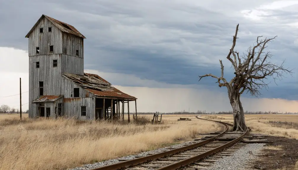
Childs, Minnesota won’t welcome you with weathered buildings or rusty relics — it’ll greet you with open farmland and profound silence. Named after Job W. Childs, this vanished Wilkin County community lost its post office in 1920 and its railway station in 1956, leaving almost nothing behind. You’ll need GPS coordinates, offline maps, and confirmed land access before you drive out. There’s far more to uncover about planning your visit successfully.
Key Takeaways
- Childs, Minnesota, is an unmarked ghost town; use GPS coordinates (46° 3′ 56 N, 96° 32′ 4 W) and offline maps for navigation.
- No structures or signage remain at the site, which has been fully reclaimed as open farmland.
- Verify land access rights by contacting Wilkin County or local landowners before visiting, as public access isn’t guaranteed.
- Check Minnesota 511 and Wilkin County Highway Department for current rural road conditions before departure.
- Bring offline maps, GPS tools, and supplies, as the area has no tourist infrastructure or reliable cell coverage.
What Was Childs, Minnesota Before It Became a Ghost Town?
Before it faded into Minnesota’s long list of forgotten settlements, Childs was a functioning rural community in Wilkin County, shaped by the same forces that built dozens of small towns across the region in the late 1800s.
Its historical significance rests on three pillars: a post office that ran from 1888 to 1920, a Great Northern Railway station that served locals until 1956, and the farming identity tied to its namesake, Job W. Childs.
You can trace its community legacy through those anchors — mail, rail, and agriculture — each one reflecting how rural Minnesota once organized itself around transportation and trade.
When those systems disappeared, so did Childs.
What you’re visiting today isn’t a living town; it’s the outline of one.
The Railroad and Post Office Decline That Erased Childs
When the Great Northern Railway abandoned its station in Childs in 1956, it didn’t just cut a transportation link — it severed the town’s last reason to exist.
Before that, the post office closure in 1920 had already stripped away daily connection.
Together, these losses dismantled whatever community resilience remained.
Here’s what erased Childs step by step:
- 1888 — The post office opened, anchoring local industry and drawing settlers into the area.
- 1920 — The post office closed, cutting communication and signaling economic retreat.
- 1956 — The Great Northern Railway station closed, ending freight movement and isolating the community entirely.
You’re now visiting a place where infrastructure failure, not disaster, wrote the final chapter.
Childs didn’t burn — it simply disappeared.
Why So Little of Childs Survived to the Present Day
When Childs lost its post office in 1920, the community lost its last real anchor — the administrative thread that kept residents connected to the wider world snapped, and people drifted away.
The Great Northern Railway’s abandonment of its station in 1956 drove the final nail in, stripping the area of any remaining economic reason to stay.
Today, you’ll find almost nothing standing, because Childs didn’t collapse in a single dramatic event but instead faded slowly, leaving behind a landscape that’s reclaimed its rural silence almost completely.
Post Office Closure Impact
Once a post office closes in a small rural community, the clock starts ticking on everything else. Childs lost its post office in 1920, and that single event unraveled the town’s identity quickly. Without mail service, residents lost their official connection to the outside world.
Three ways the closure accelerated Childs’ disappearance:
- Commerce dried up — Businesses dependent on mail orders and correspondence had no lifeline.
- Historical artifacts vanished — Records, letters, and documents dispersed or were lost entirely.
- Local legends faded — Without a gathering hub, oral histories stopped circulating between neighbors.
You’re fundamentally chasing whispers now when you visit. The post office closure didn’t just end mail delivery — it erased the infrastructure that kept community memory alive.
Railroad Abandonment Accelerated Decline
The Great Northern Railway’s departure in 1956 didn’t just close a station — it severed Childs’ last artery. When trains stopped running, economic shifts hit hard and fast. Farmers couldn’t move grain. Merchants lost customers. Families packed up and left for towns that still had a pulse.
Transportation decline works like a slow bleed. Once the railroad vanished, no highway filled the gap. Childs had already lost its post office in 1920, stripping away daily connection to the outside world.
The railway abandonment simply delivered the final blow to a community already weakened by decades of rural exodus.
You won’t find much standing there today. That’s the point. Childs didn’t collapse overnight — it quietly dissolved, one departure at a time.
Minimal Remaining Physical Traces
Quiet dissolution leaves almost nothing behind. Childs, Minnesota didn’t burn or flood — it simply emptied, and time erased most of what remained.
When you visit, don’t expect restored buildings or marked trails. Historical preservation never reached this corner of Wilkin County, so the land reclaimed what settlers built.
Here’s what the record shows you can realistically expect:
- No standing structures — abandonment and weather eliminated physical landmarks decades ago
- No designated heritage site — cultural significance was never formally recognized or protected
- Unmarked rural coordinates — your GPS guides you to open farmland, not a preserved townsite
You’re visiting a memory more than a place. That absence *is* the story — raw, unfiltered, and worth the drive.
Why Childs Belongs on a Minnesota Ghost Town Road Trip
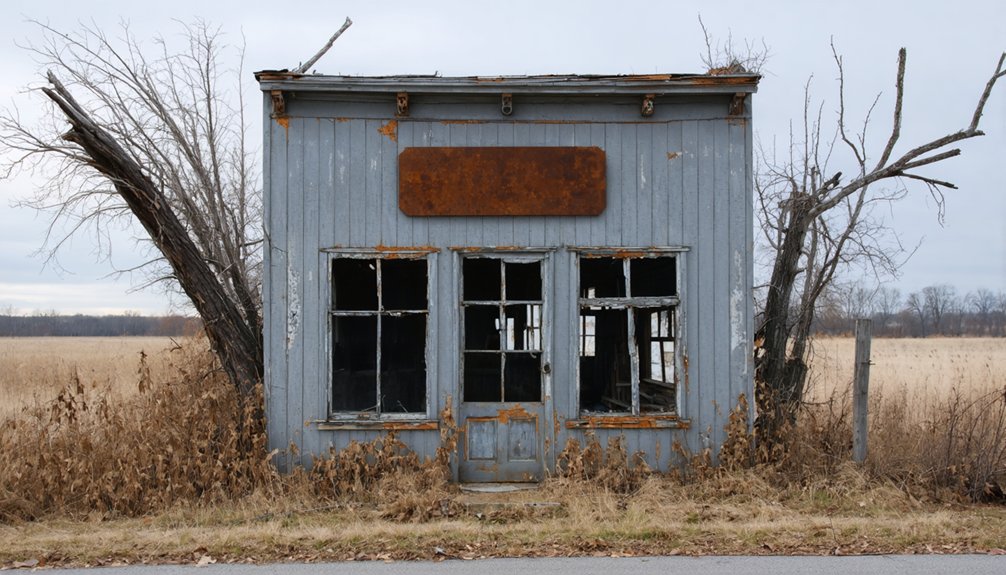
Although Childs won’t dazzle you with a preserved main street or a roadside historical marker, it earns its place on a Minnesota ghost town road trip precisely because it’s so authentically forgotten. No tourist infrastructure softens the experience here. What you’re chasing is raw local lore — the story of a post office that ran from 1888 to 1920, a Great Northern Railway station that went silent in 1956, and a farming community that simply faded.
Childs represents the honest pattern of west-central Minnesota’s vanished towns: rail service arrives, rail service leaves, and people follow the opportunity elsewhere. If you’re building a road trip around genuine abandonment rather than curated nostalgia, Childs delivers exactly the kind of unfiltered rural history that makes the open road worth driving.
How to Find the Childs, Minnesota Site in Wilkin County
Before you roll out, prep smart:
- Load the coordinates into your GPS — no roadside markers will guide you through this community heritage stop.
- Research Wilkin County rural road access in advance, since source records don’t confirm public-site status at the location.
- Carry historical context with you — knowing that Childs held a post office from 1888 to 1920 and a Great Northern Railway station until 1956 sharpens what you’re actually looking at when farmland is all that remains.
Ghost Towns Near Childs Worth Combining Into One Trip
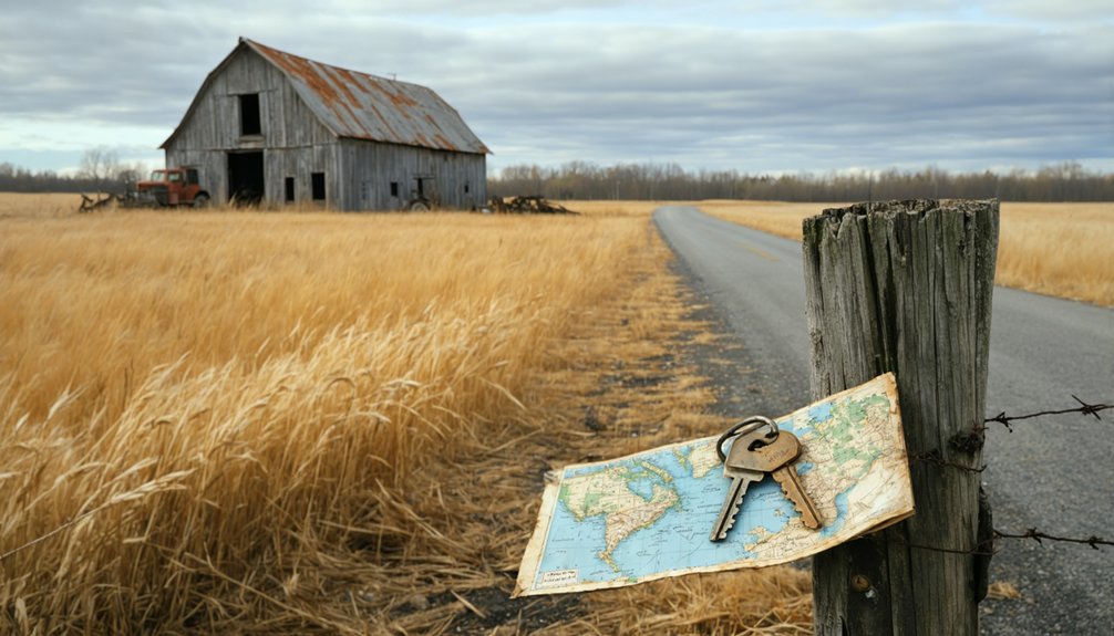
Since Childs works best as one stop on a longer rural circuit, you’ll want to pair it with other Minnesota ghost towns that share its railroad-and-post-office story. Chengwatana, Beaver, and Cisco each carry real cultural significance as vanished communities shaped by the same forces that erased Childs — railroad bypasses, post office closures, and rural depopulation.
These sites reward travelers who think beyond roadside markers. Each location holds archaeological potential, with buried foundations, forgotten lots, and disrupted landscapes that hint at lives once lived there.
Map a loose western Minnesota loop, move between counties at your own pace, and treat every stop as a chapter in the same larger story. The freedom of this kind of road trip is the point — no crowds, no admission fees, just honest rural history.
What Access Conditions to Expect Before You Drive Out
Before you load up the car and head out to Childs, you’ll want to confirm that local roads are passable, since rural Wilkin County routes can shift dramatically with seasonal weather and agricultural traffic.
Don’t assume the site is open to the public just because it appears on a map — you should contact the county or landowners ahead of time to verify legal access.
Once you’re out there, expect little to no signage marking the town’s former boundaries, so pack a GPS, printed coordinates, and a healthy tolerance for unmarked terrain.
Verify Current Road Conditions
Checking road conditions before you drive out to Childs isn’t optional — it’s essential. Wilkin County‘s rural roads can shift dramatically with Minnesota’s seasons, and Childs has zero tourist infrastructure to bail you out if conditions turn rough. You’re driving into open country with sparse cultural preservation markers and no services waiting.
Before you leave, confirm three things:
- Check the Minnesota 511 system for current road closures and surface conditions in Wilkin County.
- Call the Wilkin County Highway Department directly — local knowledge beats any app.
- Review recent satellite imagery on Google Maps to spot washed-out sections or seasonal field access gates blocking your route.
Freedom means being prepared. Know your road before your wheels hit gravel.
Confirm Public Access Status
Public access to Childs isn’t guaranteed, and you’ll want to confirm it before you load up the car. Unlike preserved historical landmarks with maintained parking areas and welcome signs, Childs sits on rural Wilkin County land where access rights aren’t publicly documented.
Before you drive out, contact the county or local landowners to verify you can legally reach the site.
This matters because community memory doesn’t always translate into public property. What remains of Childs may sit on private farmland, meaning your freedom to explore ends at someone’s fence line.
Check current conditions through county land records or local historical societies. A quick call saves you a wasted drive and keeps your ghost-town road trip respectful, legal, and worth every mile.
Plan For Limited Signage
Once you leave the pavement and head into Wilkin County’s flat, open, farmland, don’t expect Childs to announce itself. No welcome signs, no preservation efforts on display, no markers celebrating local legends. You’re steering on your own terms here.
Before you drive out, prepare with these three essentials:
- Download offline maps — cell coverage thins fast across western Minnesota’s open stretches.
- Screenshot historical coordinates — 46° 3′ 56 N, 96° 32′ 4 W gets you close when road markers disappear.
- Note rural road names beforehand — Wilkin County’s grid roads look identical without context.
Childs rewards the self-directed traveler who researches first and roams second. Bring your own knowledge, because the land won’t offer directions.
Frequently Asked Questions
Who Was Job W. Childs and Where Did He Relocate After Leaving?
Job W. Childs was a local farmer whose name became one of Historic landmarks and Local legends. He left his mark on Minnesota before you’d find he relocated to California, chasing new horizons.
What County Government Resources Cover Wilkin County Historical Records?
You’ll find historical preservation resources and local archives through Wilkin County’s official offices and the Minnesota Historical Society. Explore these living repositories of forgotten stories — they’ll reveal Childs’ vanished past for your adventure.
Are There Any Photographs of Childs During Its Operational Years?
No confirmed historical photographs of Childs during its operational years exist in available sources. You’ll want to explore Wilkin County archives and historical societies, where town preservation efforts may have uncovered rare, hidden visual records of this vanished community.
What Is the Best Time of Year to Visit Childs?
Late summer rewards you with warm seasonal weather and zero tourist crowds — wide-open skies, golden fields, and forgotten silence. You’ll wander Childs freely, trading the busy world for wide rural roads and untamed, unhurried solitude.
Can GPS Navigation Apps Locate the Childs, Minnesota Coordinates Reliably?
You’ll find GPS accuracy varies, but most navigation apps can lock onto Childs’ coordinates at 46° 3′ 56 N, 96° 32′ 4 W. Cross-reference multiple apps before venturing into Wilkin County’s open, untamed rural roads.
References
- https://minnesotasnewcountry.com/this-story-of-a-central-minnesota-ghost-town-is-pretty-incredible/
- https://www.carvercountyhistoricalsociety.org/ghost_towns.php
- https://exploringnorthshore.com/taconite-harbor-ghost-town/
- https://freepages.rootsweb.com/~gtusa/history/usa/mn.htm
- https://kids.kiddle.co/List_of_ghost_towns_in_Minnesota
- https://www.minnesotahistory.org/post/a-complete-guide-to-the-ghost-towns-of-hennepin-county
- https://kids.kiddle.co/Minden