Planning a ghost town road trip to Chivington, Colorado means heading to Kiowa County, about 25 miles north of Lamar off Highway 96. You’ll find crumbling ruins of a once-thriving railroad boomtown of 1,500 people, including an abandoned schoolhouse, Friends Church, and the legendary Kingdon Hotel. There are no guided tours, so pack water, offline maps, and sturdy shoes. The town’s name carries a heavy historical weight that makes this stop far more than just a scenic ruin hunt.
Key Takeaways
- Chivington sits in Kiowa County, roughly 25 miles north of Lamar, accessible via Highway 96 through remote Colorado prairie.
- Use GPS coordinates 38.4364°N, 102.5435°W and download offline maps, as cell service is unreliable in this isolated area.
- Remaining structures include an abandoned schoolhouse, Friends Church, and the legendary ruins of the Kingdon Hotel.
- Pack water, first aid supplies, sturdy shoes, SPF 50 sunscreen, and a windbreaker for exposed, unshaded prairie conditions.
- Visit the nearby Sand Creek Massacre National Historic Site to fully understand Chivington’s controversial and historically significant frontier past.
What’s Left to See at Chivington Today?
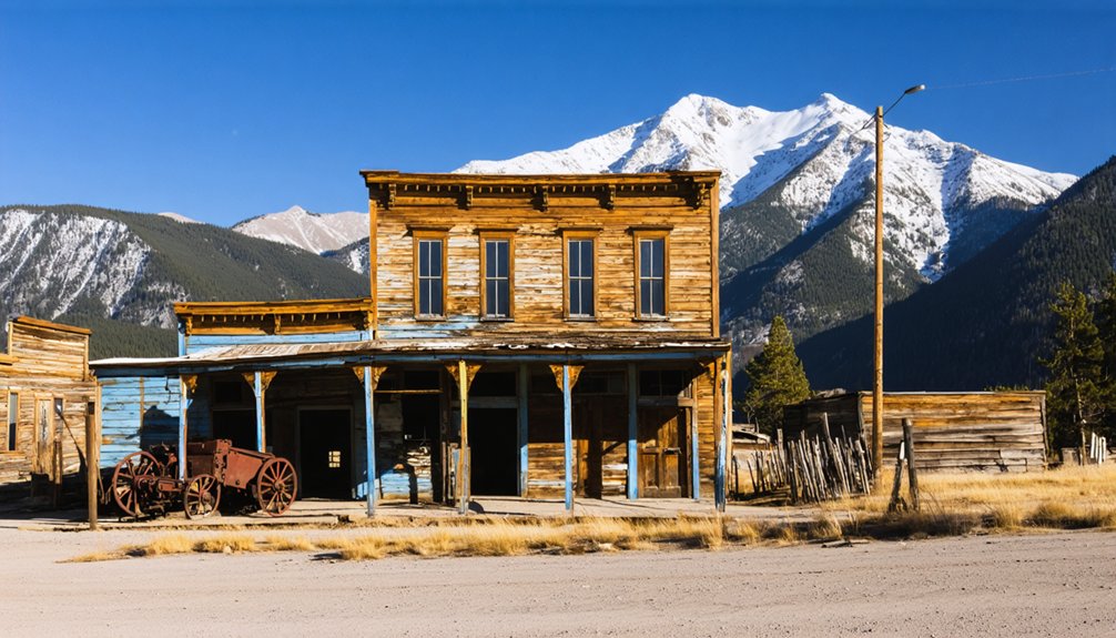
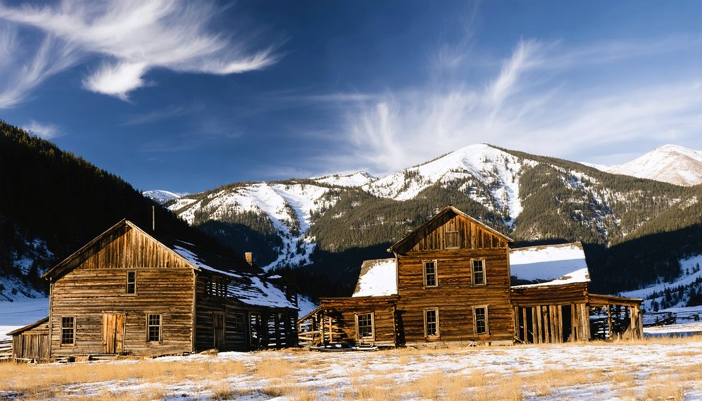
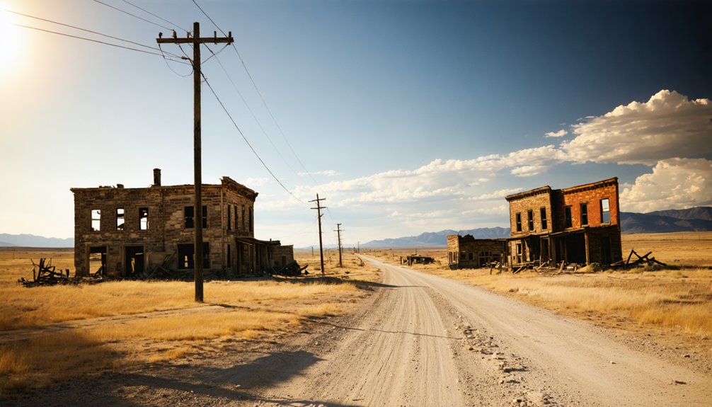
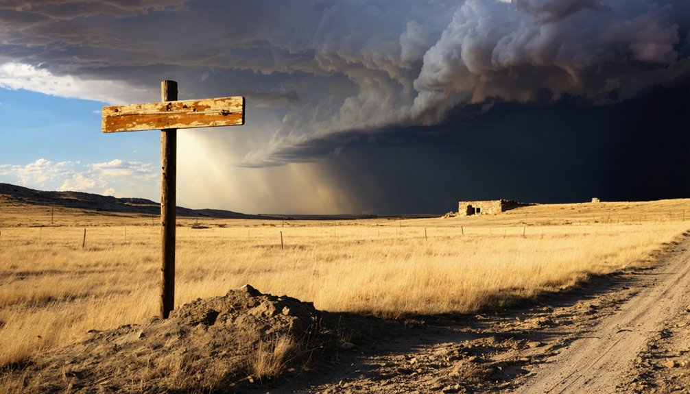
Though little remains of Chivington’s boomtown days, you’ll still find a handful of structures standing against the open prairie sky. Abandoned structures dot both sides of the road near the old town core, each one a quiet testament to what once thrived here.
A handful of structures still stand against the open prairie sky — quiet testaments to what once thrived here.
A deteriorating schoolhouse and a Friends Church are among the most recognizable survivors, weathered but still rooted in the earth where settlers once built their futures.
Local legends follow the ruins of the former Kingdon Hotel, once a center of community life during the town’s railroad peak.
You won’t find interpretive signs or guided tours here. What you’ll find instead is raw, unfiltered history spread across open land — the kind of freedom that comes from exploring a forgotten place entirely on your own terms.
How to Get to Chivington, Colorado
You’ll find Chivington in Kiowa County, roughly 25 miles north of Lamar in eastern Colorado, where Highway 96 and a web of county roads cut through open prairie.
If you’re steering by GPS, plug in coordinates 38.4364°N, 102.5435°W to pinpoint the site with confidence.
The drive itself sets the mood — flat, spare, and wide-open, the kind of landscape that makes a ghost town feel inevitable.
Chivington’s Location In Colorado
Tucked into the open prairie of Kiowa County, Chivington sits about 25 miles north of Lamar in eastern Colorado, near Highway 96 and the surrounding county roads. You’ll find it at approximately 38.4364°N, 102.5435°W, sitting at an elevation of 3,891 feet. The landscape is wide and uninterrupted, giving you a genuine sense of the frontier isolation that once defined this railroad boomtown.
As you roll in, you’re not entering a living community — you’re stepping into railroad remnants and historical architecture scattered across quiet, windswept ground. The Friends Church and a deteriorating schoolhouse still mark the old town core, with remnants visible on both sides of the road.
It’s the kind of place that rewards curious, independent travelers willing to explore on their own terms.
Key Roads And Highways
Highway 96 is your primary route into Chivington, cutting straight across the flat eastern Colorado plains in a way that makes the destination feel both remote and reachable. From Lamar, head roughly 25 miles north, letting the open land tell its own story before you even arrive.
The wide sky and sparse landscape prime you for what’s ahead — a place where local folklore and hard history share the same cracked foundation.
County roads branch off near the old town core, giving you access to both sides of the site where remnants still stand. No crowds, no guided tours — just you steering on your own terms.
That freedom suits Chivington perfectly, since historic preservation here means the ruins themselves do the talking, not a visitor center.
Plug 38.4364°N, 102.5435°W into your GPS before you leave cell range, because signal gets unreliable once you’re deep into Kiowa County’s open prairie. At 3,891 feet elevation, the landscape opens wide and road markers grow sparse, so having those coordinates locked in keeps you moving confidently toward the site.
You’re heading to a place where historical architecture — a weathered Friends Church and a crumbling schoolhouse — still stands as raw evidence of a boomtown’s rise and fall.
The surrounding land also carries the weight of Native American history, sitting close to the Sand Creek Massacre National Historic Site.
Let your GPS do the guiding so you can focus on what you’ll actually find when you arrive: silence, ruins, and a story worth knowing.
The Railroad Boom That Built Chivington
When the Missouri Pacific Railroad pushed into eastern Colorado in 1887, it didn’t just lay track — it conjured entire towns into existence almost overnight. Chivington was one of them. Designated a railroad division point, the town swelled to roughly 1,500 residents, fueled by agricultural commerce and the raw momentum of westward expansion.
You’ll notice there’s no tourist infrastructure here today — no visitor center, no polished historical preservation district. What built Chivington ultimately abandoned it. Railroad officials discovered the local water was too alkali-rich for locomotive boilers, shifting importance to nearby Horace, Kansas. That single operational decision began unraveling everything settlers had built.
Walking the site, you’re standing inside a cautionary tale about how railroad economics could raise a frontier town — and erase it just as efficiently.
Why the Railroad Abandoned Chivington
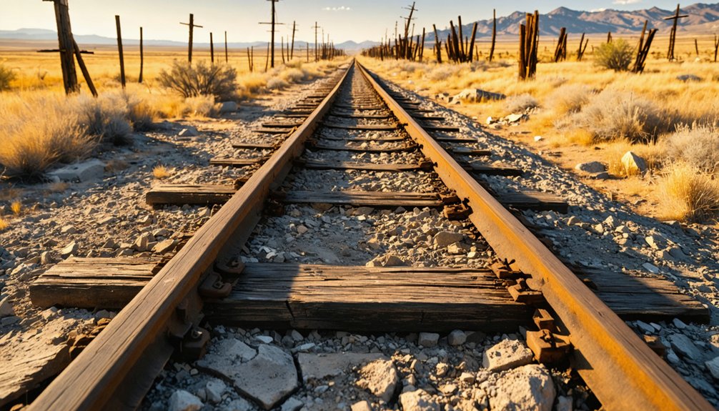
The problem wasn’t the people or the prairie — it was the water. Chivington’s supply ran too alkali-rich for locomotive boilers, making it useless as a railroad watering stop. The line shifted its operations toward Horace, a nearby Kansas town better suited for the job, and Chivington’s historical significance as a division point evaporated almost overnight.
Without railroad traffic, commerce dried up. The Dust Bowl and Great Depression hammered what little remained, and by the 1920s and 1930s, the town was effectively finished. What you’ll find today are ruins — a quiet reminder that frontier survival depended on practical infrastructure, not ambition alone.
That story, layered alongside the region’s Native American history, gives this stretch of eastern Colorado a weight that roadside prairies rarely carry.
How the Dust Bowl Finished Chivington Off
Even after the railroad pulled its support, Chivington might’ve scraped by — but the Dust Bowl made sure it didn’t. Through the 1920s and 1930s, collapsing crop prices and choking dust storms gutted eastern Colorado farming communities one by one.
The Dust Bowl didn’t just bring hard times — it erased entire communities from the map, one family at a time.
Chivington was no exception. Families packed up and left, and the town’s population simply evaporated.
What you’ll find today are ruins — a weathered schoolhouse, remnants of a Friends Church, and scattered traces of a place that once held 1,500 people. That physical evidence carries weight beyond historical preservation alone.
Standing here, you’re also standing near the Sand Creek Massacre site, where Native American history shaped this land long before any railroad arrived. The Dust Bowl finished Chivington off, but the land remembers everything.
Who Was Colonel Chivington: and Why Does His Name Matter Here?
A ghost town named after a man Congress condemned is worth pausing over. Colonel John Milton Chivington commanded Union forces during the Civil War before leading cavalry into a peaceful Cheyenne and Arapaho encampment on November 29, 1864. The attack killed roughly 125 to 240 Native Americans, most of them women, children, and elderly people. Congress investigated and condemned the assault. Territorial Governor John Evans lost his position over it.
The historical context here is impossible to separate from the landscape. You’re standing on eastern Colorado plains just miles from Sand Creek, where that violence unfolded. The cultural significance of this ghost town cuts deeper than railroad economics or drought. The name itself carries a reckoning.
The nearby Sand Creek Massacre National Historic Site gives you the fuller story.
The Sand Creek Massacre National Historic Site Is Worth the Short Detour
While you’re already in the area, adding the Sand Creek Massacre National Historic Site to your route takes minimal effort and delivers significant historical weight.
Adding the Sand Creek Massacre National Historic Site to your route takes minimal effort and delivers significant historical weight.
On November 29, 1864, Colonel Chivington led cavalry into a peaceful Cheyenne and Arapaho encampment here, killing an estimated 125 to 240 people, many of them women, children, and elders.
The cultural impact of that morning still shapes how Colorado reconciles its frontier past.
The site helps you understand:
- Historical significance that extends far beyond a ghost town stop
- How Congressional condemnation and Governor Evans’s removal revealed national unease with the attack
- Why indigenous voices and perspectives remain central to interpreting this landscape
Walk the grounds. Read the markers. Let the open prairie speak honestly about what happened there.
What to Pack for a Remote Eastern Colorado Ghost Town Stop

Bring sturdy shoes, a hat, sunscreen, and a windbreaker, since eastern Colorado’s open prairie offers little shade and the wind cuts hard across the flats.
Toss a paper map or downloaded offline maps into your bag, because cell service gets unreliable fast once you leave Highway 96 and head into Kiowa County’s back roads.
A water bottle, a first aid kit, and a flashlight round out the essentials for a site where you’re on your own among crumbling structures and wide, empty terrain.
Essential Gear For Exploration
Packing smart makes the difference between a rewarding stop and a frustrating one, especially when you’re heading to a remote eastern Colorado ghost town like Chivington, where the nearest services sit roughly 25 miles south in Lamar. The open prairie offers no shade, no water, and no cell towers, so you’re entirely self-sufficient out here.
- Water and sun protection — bring more than you think you’ll need across exposed, shadeless terrain
- Camera and notebook — document surviving structures with historical preservation in mind, respecting the archaeological significance of remaining ruins
- Sturdy footwear — deteriorating foundations and uneven ground surround the old schoolhouse and church remnants
Treat this stop as fieldwork. You’re reading a landscape that railroads built and drought erased.
Sun And Wind Protection
Eastern Colorado’s open prairie delivers sun and wind without mercy, so you’ll want layered protection before you step out near Chivington’s ruins. At nearly 3,900 feet elevation, UV exposure intensifies fast, making sun safety non-negotiable. Pack broad-spectrum SPF 50 sunscreen, UV-blocking sunglasses, and a wide-brimmed hat that won’t surrender to gusts.
Wind protection matters equally out here. The plains funnel steady, relentless breezes that cut through light clothing and dry your skin quickly. A packable windbreaker earns its place in your bag, even on warm days. Lip balm with SPF and a buff or neck gaiter handle the gaps your jacket misses.
You’re exploring open, unshaded ground with no services nearby, so arrive prepared and stay comfortable throughout your stop.
Once you’ve sorted your sun and wind protection gear, the next challenge is knowing exactly where you’re once your phone signal disappears. Out near Chivington, it will. Eastern Colorado’s open prairie swallows signals quickly, leaving you steering blind if you’re unprepared.
- Download offline maps covering Kiowa County and Highway 96 before leaving Lamar, roughly 25 miles south.
- Print written directions and note coordinates 38.4364°N, 102.5435°W for a backup reference.
- Carry a physical compass, since local folklore about the area’s remoteness isn’t exaggeration — preservation challenges mean few landmarks remain standing to orient yourself.
A dedicated GPS device works best here. The ruins themselves are subtle, and without reliable navigation, you’ll drive past the Friends Church and deteriorating schoolhouse without ever realizing what you missed.
How Chivington Fits Into a Longer Eastern Colorado Road Trip

Chivington sits along Highway 96 in Kiowa County, making it a natural waypoint if you’re already threading through eastern Colorado’s wide-open plains. Pair it with a stop at the Sand Creek Massacre National Historic Site just a few miles away, where historical preservation efforts give deeper context to the town’s troubling namesake.
From there, Lamar sits roughly 25 miles south, offering fuel, food, and a base for exploring the region. Ruins preservation at Chivington itself remains minimal, so you’re reading a landscape more than visiting a curated site.
That raw quality suits the freedom of open-road travel. String these stops together, and you’ve built a route that connects railroad ambition, frontier collapse, and one of Colorado’s darkest historical chapters into a single, meaningful drive.
Frequently Asked Questions
Was Chivington Ever Considered for County Seat Status?
The knowledge doesn’t confirm Chivington’s county seat status, but you’ll feel its historical significance walking those ruins. Economic decline stripped away its boomtown ambitions, leaving only whispers of what this frontier railroad town once dreamed of becoming.
Are There Any Local Guided Tours Available at the Chivington Site?
You won’t find guided tour options or local tour guides waiting to greet you — ironic for a ghost town. You’re gloriously on your own, free to explore Chivington’s haunting ruins and open prairie independently.
Is It Legal to Enter or Photograph the Remaining Chivington Structures?
You’ll want to respect trespassing laws before exploring Chivington’s crumbling structures, as private ownership may restrict access. Photography restrictions aren’t typically enforced outdoors, but always confirm land ownership before you wander freely among the ruins.
Did Chivington Have Any Notable Crimes or Scandals During Its Peak?
You won’t find notable crimes or scandals in Chivington’s historical crime records. Ghost town preservation efforts focus on its railroad rise and fall, leaving its boomtown drama tied more to economic collapse than documented controversy.
Has Chivington Appeared in Any Films, Documentaries, or Published Literature?
While specific film and literature references aren’t well-documented, don’t let that stop you — Chivington’s ghost town history quietly shapes broader narratives about Colorado’s Sand Creek Massacre, making it a compelling subject you’ll discover through regional historical works.
References
- https://en.wikipedia.org/wiki/Chivington
- https://coloradosghosttowns.com/Chivington CO.html
- https://www.ghosttowns.com/states/co/chivington.html
- https://www.motherjones.com/politics/2000/11/conscience-place-sand-creek/
- https://gazette.com/news/the-ghost-of-john-chivington-should-haunt-us-today-david-ramsey/article_091e8a72-b85a-11ea-bfdd-cfdb5413be3d.html
- https://www.reddit.com/r/ColoradoGhostTowns/comments/1ku8mxa/chivington/
- https://www.reddit.com/r/Colorado/comments/1clrs31/about_all_thats_left_of_chivington_colorado_the/
- https://kids.kiddle.co/Chivington
- https://en.wikipedia.org/wiki/List_of_ghost_towns_in_Colorado