To plan your ghost town road trip to Placerville, South Dakota, head west from Rapid City about 12 miles on SD 40, the scenic Rimrock Highway. You’ll find stone walls, old diggings, and mining remnants scattered along Rapid Creek, echoing the Black Hills gold rush of the 1870s. Visit late spring through early fall for the best trail conditions, and arrive early on weekdays. There’s far more to this forgotten camp than first meets the eye.
Key Takeaways
- Placerville sits 12 miles west of Rapid City on SD 40 (Rimrock Highway), offering a scenic drive through rugged Black Hills terrain.
- The ghost town originated during the 1870s Black Hills gold rush, where prospectors mined placer gold deposits along Rapid Creek.
- Today, scattered stone walls, old diggings, and mining remnants provide an authentic, unrestored glimpse into frontier-era history.
- Visit late spring through early fall for optimal trail conditions; pack layered clothing, sturdy boots, water, and a trail map.
- Use Placerville as a starting point to explore nearby ghost towns like Piedmont along the Rimrock Highway corridor.
What Was Placerville, South Dakota?
Tucked along Rapid Creek in the Black Hills of Pennington County, Placerville was a gold-rush mining camp that sprang up during South Dakota’s placer mining era. Miners extracted gold directly from stream sediments, building a working settlement around that pursuit. The town earned its name from those gold-bearing placer deposits that once drew prospectors westward.
Today, Placerville sits classified as barren — no active community remains. Yet the land still holds historical artifacts like old stone walls and random diggings that tell the story of what once stood here.
Local legends tied to Black Hills gold culture give the site an extra layer of intrigue. If you crave open roads, forgotten history, and landscapes shaped by human ambition, Placerville delivers that experience in full.
Where Exactly Is Placerville Located?
You’ll find Placerville tucked into Pennington County, South Dakota, roughly 12 miles west of Rapid City along SD 40, also known as the Rimrock Highway. The route follows Rapid Creek through the Black Hills.
This places the site within easy reach for a day trip from the city. If you’re already exploring the region, this stretch of highway connects you to one of the most historically rich ghost-town corridors in the state.
Pennington County, South Dakota
Placerville sits in Pennington County, South Dakota, along Rapid Creek in the Black Hills, about 12 miles west of Rapid City on SD 40, also known as the Rimrock Highway. This location puts you close enough to Rapid City for a practical day trip while still feeling far removed from modern life.
The Rimrock Highway corridor winds through rugged terrain, setting the tone before you even arrive. Pennington County holds a dense collection of historic landmarks tied to the Black Hills gold rush, and Placerville is one of its more tangible remnants.
You’ll find traces of old mining equipment scattered across the landscape, remnants that connect you directly to the placer mining operations that once defined this creek-side settlement. It’s accessible, raw, and worth the short drive west.
Along SD 40
Driving west from Rapid City on SD 40, you’ll spot the Placerville site roughly 12 miles out, tucked along Rapid Creek in the heart of the Black Hills. The Rimrock Highway delivers you straight to this corridor, where historical legends of gold-rush fever still echo across the landscape.
Early miners relied on placer mining techniques, sifting stream sediments from Rapid Creek in search of gold, and their effort shaped everything built here.
You’ll notice slate rock cliffs rising dramatically alongside the route, giving the drive its own rugged character. A historic sawmill marks the access point, hinting at the infrastructure that once sustained the camp.
From the road’s end near a church camp, a trail pushes you deeper into the site’s ghostly remains.
The Gold Rush History That Built Placerville
When you trace Placerville’s origins, you’ll find a story driven entirely by gold. Miners flooded the Black Hills in the 1870s, and Rapid Creek’s streambed turned out to hold exactly what they were chasing — gold-bearing placer deposits sitting in the sediment.
That discovery sparked the camp’s creation, with the town’s very name reflecting the placer mining technique that made it possible.
Placer Mining Origins
During the Black Hills gold rush, prospectors flooded Rapid Creek’s banks hoping to strike it rich through placer mining—a technique that extracts gold flakes and nuggets directly from stream sediments without the need for deep shaft drilling. Workers sifted creek gravel, letting water carry away lighter sediment while heavier gold settled into collection pans or sluice boxes.
It was rugged, physical work that drew fortune-seekers from across the country. Placerville grew directly from that frenzied activity, its name a straightforward nod to the placer deposits that made it viable.
Today, trail conditions along Rapid Creek remain accessible enough for you to walk the same corridor those miners once worked. Mining relics scattered across the landscape connect you directly to that raw, gold-hungry era.
Gold Deposits Discovered
Few moments in American history ignited mass movement like the Black Hills gold rush of the 1870s, when prospectors abandoned their ordinary lives and flooded into Sioux territory chasing rumors of gold-lined creek beds.
Rapid Creek delivered exactly what those miners hoped for — placer gold sitting in streambed sediments, waiting to be claimed. That discovery transformed a rugged canyon into Placerville almost overnight.
Today, you can trace those origins along the creek trail, then return to Rapid City for local cuisine and nearby accommodations that make this a comfortable day trip rather than a hardship expedition.
The gold that sparked Placerville’s brief existence is long gone, but the canyon walls, old diggings, and stone ruins tell you exactly what the rush felt like.
How to Get to Placerville From Rapid City
Getting to Placerville from Rapid City couldn’t be simpler — you’ll head west on SD 40, also known as the Rimrock Highway, for about 12 miles through Pennington County. The drive itself sets the tone, winding through Black Hills scenery with occasional wildlife sightings along the corridor.
Once you’re close, watch for these key landmarks:
- A historic sawmill along the access route, marking your approach
- A church camp at road’s end, where the trail begins
- Rapid Creek, your creekside companion along the hiking path
- Stone walls and random diggings signaling the ghost town site
Before heading out, grab local cuisine in Rapid City — you’ll want fuel for the hike.
Placerville rewards the curious traveler who’s ready to roam freely and explore on their own terms.
What’s Left to See at the Ghost Town Site?
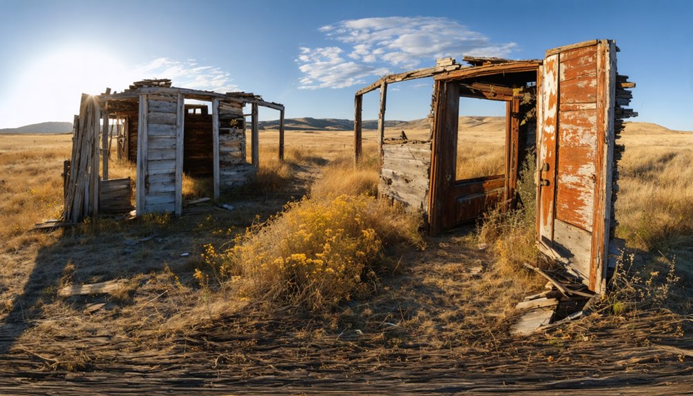
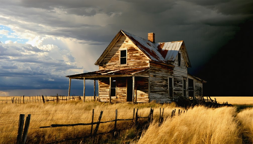
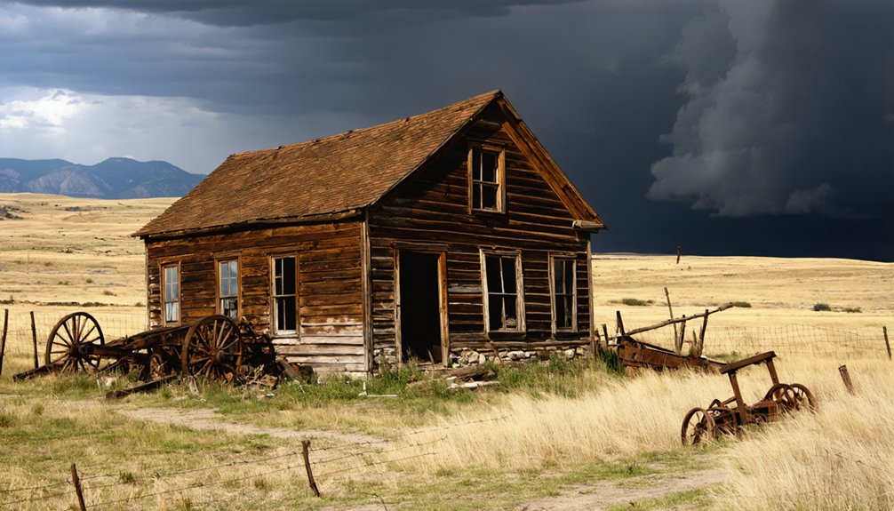
Once you step beyond the church camp and follow the trail along Rapid Creek, the landscape tells the story of Placerville’s mining past through what remains embedded in the terrain. You’ll spot old stone walls rising from the hillside, random diggings scattered across the ground, and mining relics that mark where gold seekers once worked the creek sediments.
The trail also rewards you with scenic views of dramatic slate rock cliffs that line the corridor, creating a striking backdrop against the flowing creek below. Before you even reach the trailhead, you’ll pass a historic sawmill that once supplied lumber to the settlement.
Nothing’s been reconstructed or staged here. What you see is exactly what time and weather have left behind, making every step feel like genuine discovery.
The Rapid Creek Trail: What to Expect at Placerville
The trail along Rapid Creek runs one-way, so you’ll want to plan your entry and exit points before you set off.
A church camp sits at the road’s end, meaning you’ll hike past it to reach the trailhead.
Along the way, you’ll find yourself surrounded by local legends of gold-rush miners who tested early placer mining techniques right in this creek bed.
Every step along Rapid Creek echoes with gold-rush legends and the gritty history of early placer miners.
Watch for these highlights as you hike:
- Dramatic slate rock cliffs rising above the trail
- Stone walls left behind by early settlers
- Random diggings revealing old mining techniques firsthand
- Creekside scenery shaped by decades of placer activity
Keep your pace relaxed and your eyes open.
This trail rewards curious explorers who want honest, unfiltered contact with Black Hills history.
How Placerville Fits Into the Black Hills Ghost-Town Trail
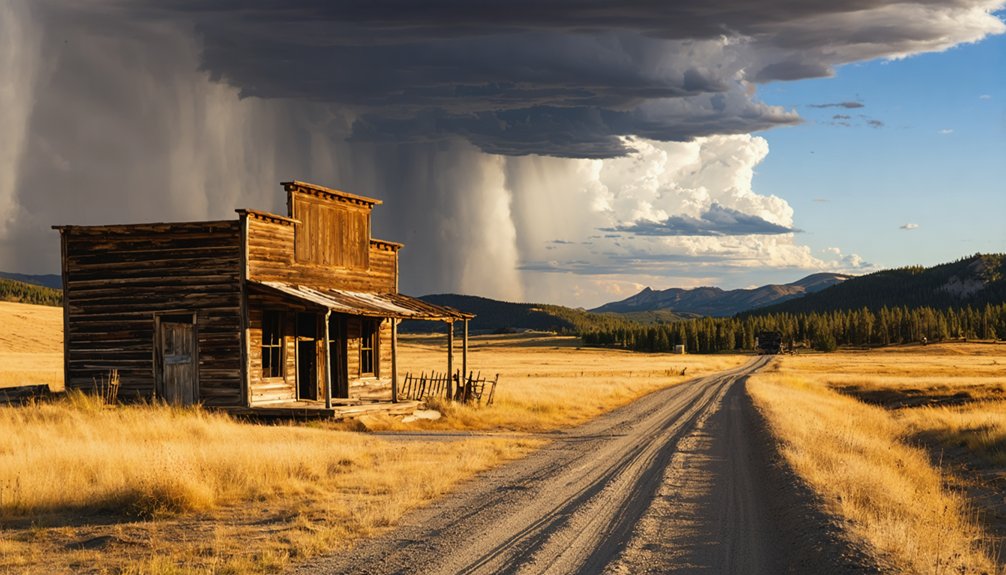
Placerville is just one piece of a much larger puzzle, as the Black Hills hold well over 600 ghost towns tied to gold mining, railroads, and frontier settlement. You can use Placerville as your starting point and build a broader road trip from there.
Nearby sites like Piedmont and Pratt’s Mill round out the region’s story, each reflecting different mining techniques and settlement patterns. Ghost town preservation varies across the Hills — some sites offer standing structures while others, like Placerville, survive as landscape remnants. That variety keeps exploration fresh and unpredictable.
With 833 vanished sites recorded statewide, South Dakota rewards the curious traveler willing to dig deeper. Treat Placerville as your gateway, then follow the Rimrock Highway corridor to uncover the full scope of Black Hills history.
Best Time of Year to Visit Placerville
Late spring through early fall gives you the best window for exploring Placerville, when trails along Rapid Creek are clear and the Black Hills landscape is fully accessible. Each season brings something different to the site:
- Late spring (May–June): Wildflowers frame the slate cliffs, and creek levels make for dramatic photography tips — shoot early morning for soft light on the stone walls.
- Summer (July–August): Long daylight hours maximize exploration time, though wildlife encounters with deer and birds are most active at dawn.
- Early fall (September–October): Cooler temps and golden foliage create ideal photography conditions with fewer crowds.
- Winter: Snow blocks access and trails become hazardous — skip it.
Arriving early on weekdays keeps the experience genuinely uncrowded and free-feeling.
What to Bring for a Placerville Day Trip
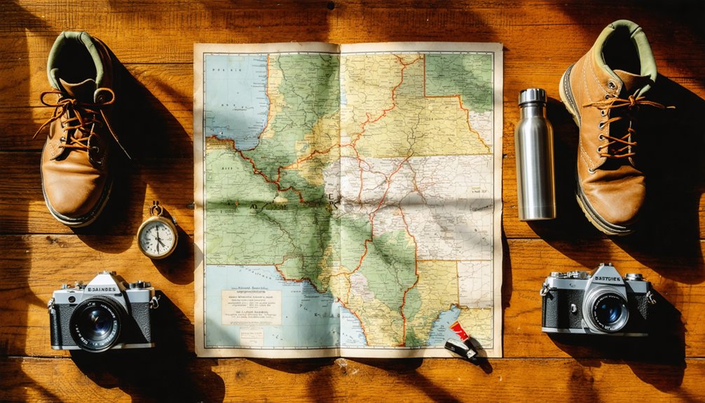
Once you’ve picked your season, packing smart makes the difference between a smooth day trip and an uncomfortable one. Wear sturdy hiking boots since the trail along Rapid Creek crosses uneven terrain near old diggings and slate rock cliffs.
Bring plenty of water, sunscreen, and a light layer for shifting Black Hills weather.
Pack a small notebook if you want to sketch the stone walls or document the random diggings left behind by early placer miners. Researching mining techniques before you arrive helps you read the landscape accurately and separate historical myths from what the ground actually shows.
A trail map, snacks, and a fully charged phone round out your kit. You’re exploring a site with no services, so self-sufficiency is essential.
Frequently Asked Questions
Is There an Entrance Fee to Access the Placerville Ghost Town Site?
You’ll find no entrance fee blocking your path to Placerville’s historical preservation site! Access this trail freely, though visitor amenities are minimal—pack your own supplies and embrace the raw, untamed spirit of Black Hills ghost-town exploration.
Are Pets Allowed on the Rapid Creek Trail Near Placerville?
The knowledge base doesn’t confirm pet-friendly trails details for Rapid Creek. You’ll want to contact local Black Hills authorities before bringing pets, as wildlife encounters in the area could affect your furry companion’s safety.
Can You Camp Overnight Near the Placerville Ghost Town Area?
Like a wild frontier spirit, you’ll need to check local camping regulations before pitching your tent near Placerville. The area’s prone to wildlife encounters, so confirm permitted sites with Black Hills National Forest authorities first.
Is the Placerville Trail Accessible for People With Mobility Limitations?
The Placerville trail isn’t ideal if you’re facing mobility challenges, as trail accessibility is limited. You’ll navigate rugged, uneven terrain along Rapid Creek, making it better suited for those comfortable on rough, natural paths.
Are Guided Tours of Placerville or Nearby Black Hills Ghost Towns Available?
Dusty trails and crumbling stone walls await you! Guided tours aren’t officially documented for Placerville, but you’ll find Black Hills historical preservation groups and wildlife observation outfitters nearby offering ghost town explorations that’ll fuel your adventurous spirit.
References
- https://hikearizona.com/decoder.php?ZTN=22678
- https://www.sdpb.org/rural-life-and-history/2023-08-21/some-black-hills-ghost-towns-and-their-origins
- https://www.pbs.org/video/galena-the-ghost-town-that-refuses-to-die-ehw4x2/
- https://blackhillsatvdestinations.com/ghost-towns/
- https://en.wikipedia.org/wiki/List_of_ghost_towns_in_South_Dakota
- https://kids.kiddle.co/List_of_ghost_towns_in_South_Dakota
- https://www.mtdemocrat.com/news/history-is-alive-ok-undead-in-placerville/article_f8d891b8-0cb9-52b7-9605-f05bb3c2286b.html
- https://ghosttowntrails.com/south-dakota