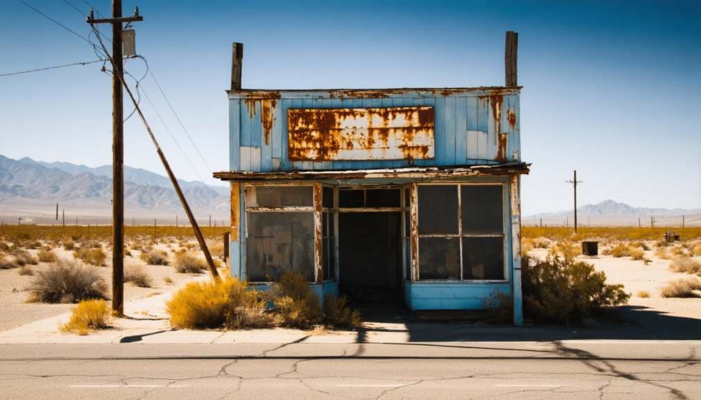
Planning a ghost town road trip to Strand, California means chasing a place that’s more map legend than landmark. You’ll find it roughly 13 miles west of Bakersfield, where flat Central Valley terrain stretches endlessly around what was once a quiet Southern Pacific Railroad stop. There’s no signage, no facilities, and no crowd—just open land and a compelling mystery. Bring your navigation tools, pack water, and get ready to uncover exactly what happened here.
Key Takeaways
- Strand, California, sits roughly 13 miles west of Bakersfield along the former Southern Pacific Railroad line in Kern County’s flat Central Valley terrain.
- No signage or facilities exist at the site; use old railroad records, 1932 maps, satellite imagery, and offline navigation tools to locate it.
- Pack water, snacks, sturdy footwear, and a camera, as the open terrain offers no visitor services or official trailheads.
- Nearby ghost towns—Calico, Randsburg, and Bodie—make excellent route additions, offering preserved streets, mining history, and diverse frontier experiences.
- Strand’s decline resulted from shifting railroad routes that reduced traffic, causing economic collapse and gradual abandonment without any single dramatic event.
What Was Strand, California’s Lost Railroad Ghost Town?
Once a modest stop along the Southern Pacific Railroad line, Strand, California has all but vanished from the landscape of Kern County. Sitting roughly 13 miles west of Bakersfield at about 338 feet above sea level, this small settlement once served travelers moving through one of the Central Valley’s key transportation corridors.
By 1932, Strand still appeared on maps, but its decline mirrored countless other railroad-era communities that faded when commerce shifted.
Unlike Calico or Bodie, Strand never became a tourist attraction or historical preservation site. No park marks its memory. No signs direct you there.
What remains lives only in old records and faded cartography. For you as an explorer, that obscurity makes Strand a compelling starting point for a California ghost town adventure.
Where Exactly Was Strand Located in Kern County?
If you trace your finger along Kern County’s western edge, you’ll find where Strand once stood, roughly 13 miles west of Bakersfield at an elevation of about 338 feet above sea level.
The settlement hugged the Southern Pacific Railroad line, which shaped its identity as a small but functional stop along one of California’s most important transportation corridors.
That rail connection was likely both the reason Strand existed and, when routes shifted, the reason it quietly disappeared.
Kern County Western Edge
Strand sat near the western edge of Kern County, roughly 13 miles west of Bakersfield, at an elevation of about 338 feet above sea level. Its position along the Southern Pacific Railroad line made it a functional stop within California’s Central Valley transportation corridor.
Unlike flashier tourist attractions, Strand survives only through historical preservation efforts, old maps, and written records.
Here’s what defined its geographic context:
- Kern County placed it within a critical agricultural and rail corridor
- Its low elevation suited Central Valley freight movement
- Railroad access shaped its brief but purposeful existence
- Maps dated as late as 1932 confirm its documented presence
You’re fundamentally tracing a settlement that geography and commerce built — then quietly erased when both moved on.
Miles From Bakersfield
Pinpointing Strand on a modern map takes some patience, but the coordinates are straightforward once you know what you’re looking for. The settlement sat roughly 13 miles west of Bakersfield, positioning it along Kern County’s Central Valley corridor at an elevation of about 338 feet above sea level. That modest height tells you something about the flat, open terrain surrounding the site.
Strand appeared on maps as late as 1932, making historical preservation efforts essential for keeping its memory alive today. Unlike polished tourist attractions with welcome signs and parking lots, Strand exists primarily in old records and railroad-era cartography.
Knowing its precise distance from Bakersfield gives you a solid starting point when planning your route through this forgotten stretch of California history.
Railroad Line Proximity
What truly anchored Strand’s existence was its position along the Southern Pacific Railroad line, which threaded through Kern County’s Central Valley and connected small settlements to larger commercial hubs. Railroad infrastructure shaped nearly every decision made in communities like Strand, turning obscure stops into crucial links.
Consider what rail access meant for a place like Strand:
- Goods moved efficiently between Bakersfield and surrounding regions
- Mining history depended on rail lines to transport extracted resources
- Small settlements gained economic relevance through railroad proximity
- Communities without rail access often vanished faster than those connected
When the railroad’s priorities shifted, towns like Strand lost their purpose almost overnight. You’re fundamentally looking at a settlement that existed because the tracks ran through it — nothing more, nothing less.
Why Did Strand Disappear From the Map?
When you trace Strand’s disappearance, you quickly find the railroad at the center of the story.
Settlements like Strand depended on rail traffic to keep commerce alive, and once routes shifted, the economic lifeline simply vanished.
Without steady freight or passengers moving through, small stops like Strand couldn’t survive, and the town quietly faded from both the landscape and living memory.
Railroad Routes Shifted
Though no single record confirms exactly why Strand vanished, the pattern fits a story you’ll see repeated across California’s Central Valley: when railroad priorities shifted, small stops like Strand lost their reason to exist.
Southern Pacific’s decisions shaped entire communities, and Strand wasn’t immune. Without rail traffic, commerce dried up fast. Consider how quickly things unraveled:
- Freight routes bypassed smaller stops
- Residents followed economic opportunity elsewhere
- Businesses couldn’t survive without reliable transport
- Buildings were abandoned, leaving no historic landmarks behind
Unlike Calico or Bodie, Strand never became a destination wrapped in urban legends or preserved as a heritage site. It simply faded. By 1932, it existed only on maps — a quiet reminder that freedom to move on often meant entire towns moved on too.
Commerce Quietly Faded
Railroads didn’t just carry freight — they carried entire local economies on their backs. When the rail traffic shifted away from Strand, the economic decline followed swiftly and silently. Merchants lost customers, small operations shuttered, and families moved toward opportunity elsewhere.
Nobody declared Strand dead — it simply emptied out, building by building, season by season.
That quiet disappearance is worth your attention. Historical preservation often focuses on dramatic collapses — mining busts, fires, floods — but Strand reminds you that commerce can fade without a single headline. The town appeared on maps as late as 1932, then vanished from the record entirely.
When you explore places like Strand, you’re tracing the invisible lines between growth and abandonment that shaped California’s Central Valley landscape.
How Do You Get to the Strand Site Today?
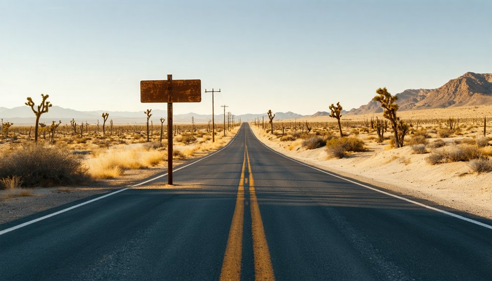
Since Strand no longer appears on modern maps as an active settlement, tracking down its former location takes a bit of detective work. Its historical significance lives in old railroad records and 1932-era maps rather than signage you’ll spot from the highway. Preservation efforts remain minimal, so you’re practically orienting yourself independently.
Here’s how to approach your visit:
- Start in Bakersfield and head approximately 13 miles west along the highway corridor.
- Cross-reference historical USGS topographic maps to pinpoint the site at roughly 338 feet elevation.
- Follow the Southern Pacific Railroad line’s former route as your geographic anchor.
- Use satellite map tools to identify land features matching archived survey descriptions.
Expect no formal trailhead or visitor facilities — just open Central Valley terrain and your curiosity.
Which Ghost Towns Are Worth Visiting Near Strand?
After you’ve scoured the Central Valley terrain for traces of Strand, you’ll likely want to balance that off-the-beaten-path experience with ghost towns that offer a bit more to see and do.
Calico Ghost Town near Yermo delivers strong historical preservation, with restored buildings, shops, and trails reflecting its 1881 silver-rush origins. It’s open daily from 9 AM to 5 PM, making it easy to plan around.
Bodie State Historic Park stands as one of California’s most authentic tourist attractions, frozen in time since 1962.
Further south, Randsburg keeps its doors open as a living ghost town with off-road access and real community character.
Each stop adds context to Strand’s quieter story, showing you the full spectrum of California’s boom-and-bust past.
Is Calico Ghost Town Worth the Drive From Kern County?
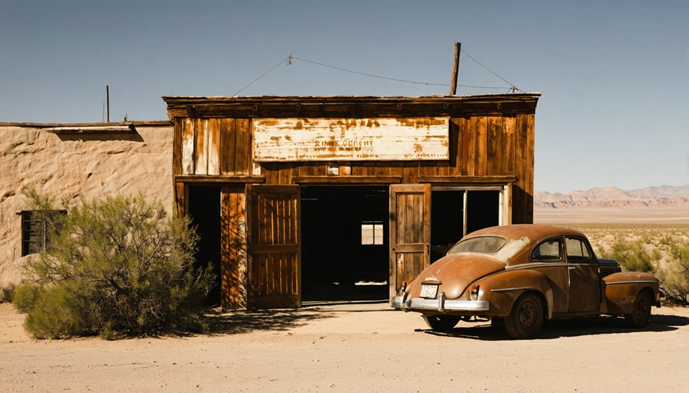
Calico Ghost Town is worth every mile of the roughly two-hour drive from Kern County, especially if you’re craving a ghost town experience with real depth and structure. Unlike Strand, which vanished quietly through railroad decline, Calico tells its story loudly through preserved streets and mining history you can actually walk through.
Here’s what makes the drive worthwhile:
- Calico peaked at 3,500 residents and 500 mining operations before silver prices collapsed.
- The park opens daily at 9 AM, giving you a full day to explore.
- Admission runs just $8 for adults and $5 for youth ages 4–11.
- Camping, hiking, shops, and restaurants make it a complete destination.
You’ll leave understanding exactly why some towns survived and others disappeared from the map entirely.
Are Bodie and Randsburg Worth Adding to Your Route?
Both Bodie and Randsburg deserve a spot on your route if you want a ghost town experience that goes beyond a single stop. Bodie became a California State Historic Park in 1962, preserving its mining history in a state of “arrested decay.” Walking through its weathered structures gives you an unfiltered look at boom-and-bust life. It’s raw, remote, and worth every mile.
Randsburg offers something different. It’s a living ghost town where you can still grab a meal, explore off-road terrain, and feel the railroad significance that once kept small desert communities breathing. The town’s continued activity makes it an accessible contrast to Bodie’s stillness.
Together, both stops round out your road trip and deepen your understanding of California’s vanished frontier settlements.
What Should You Bring to a California Ghost Town?

Packing smart makes the difference between a comfortable visit and a frustrating one. California ghost towns like Strand carry deep historical significance, but they’re remote, rugged, and unforgiving if you’re unprepared. Respect the cultural impact these sites hold by arriving ready to explore responsibly.
- Water and snacks – Kern County heat is real, and services are sparse near vanished settlements.
- Sturdy footwear – Uneven terrain, debris, and dry brush demand boots over sneakers.
- Navigation tools – Cell service drops fast; download offline maps before you leave.
- Camera and notebook – Document what you find, because ghost towns exist largely in memory and record now.
Pack light but pack right, and you’ll move freely through California’s forgotten history.
Frequently Asked Questions
Are There Any Guided Ghost Town Tours Available in Kern County?
You’ll find limited formal guided tour options in Kern County, but local historical preservation groups occasionally offer organized excursions. Check with Bakersfield’s Kern County Museum—they’re your best resource for discovering available ghost town experiences nearby.
What Is the Best Time of Year to Visit California Ghost Towns?
Spring and fall offer you the best photography opportunities and comfortable temperatures for exploring California’s ghost towns. You’ll capture stunning historical preservation details without summer’s harsh glare or winter’s unpredictable weather slowing your adventure down.
Can Children Safely Explore Abandoned California Ghost Town Sites?
Yes, your kids can explore ghost towns safely if you take proper safety precautions. Stick to marked paths, respect historical preservation zones, and supervise children closely — these vanished worlds reward curious families who explore them responsibly.
Are California Ghost Town Sites Accessible for Visitors With Disabilities?
Over 60% of California state parks offer accessible pathways. You’ll find wheelchair friendly facilities at preserved sites like Calico, letting you freely explore history without barriers holding you back from the adventure.
Do Any Ghost Town Sites in California Require Advance Booking or Reservations?
Some sites do require reservations! Bodie State Historic Park occasionally needs advance booking for guided tours. You’ll want to check ahead, as historical preservation efforts and safety precautions can limit visitor numbers, protecting these irreplaceable landmarks for everyone.
References
- https://www.islands.com/2194513/once-thriving-california-towns-transformed-eerie-abandoned-beauties/
- https://www.snowcreekresort.com/blog/bone-chilling-history-bodie-ghost-town/
- https://www.reddit.com/r/IAmA/comments/fxejw4/iama_guy_who_bought_a_22building_ghost_town_over/
- https://en.wikipedia.org/wiki/List_of_ghost_towns_in_California
- https://parks.sbcounty.gov/park/calico-ghost-town-regional-park/
- https://dornsife.usc.edu/magazine/echoes-in-the-dust/
- https://patch.com/california/palosverdes/history-of-the-strand_adb4f4c8
- https://kids.kiddle.co/Strand



