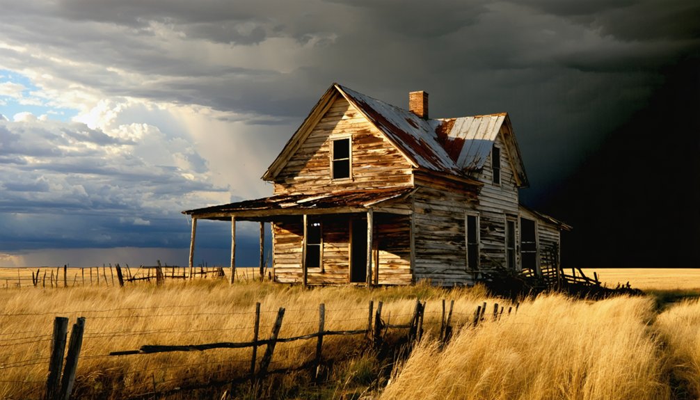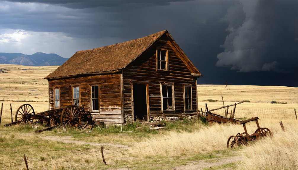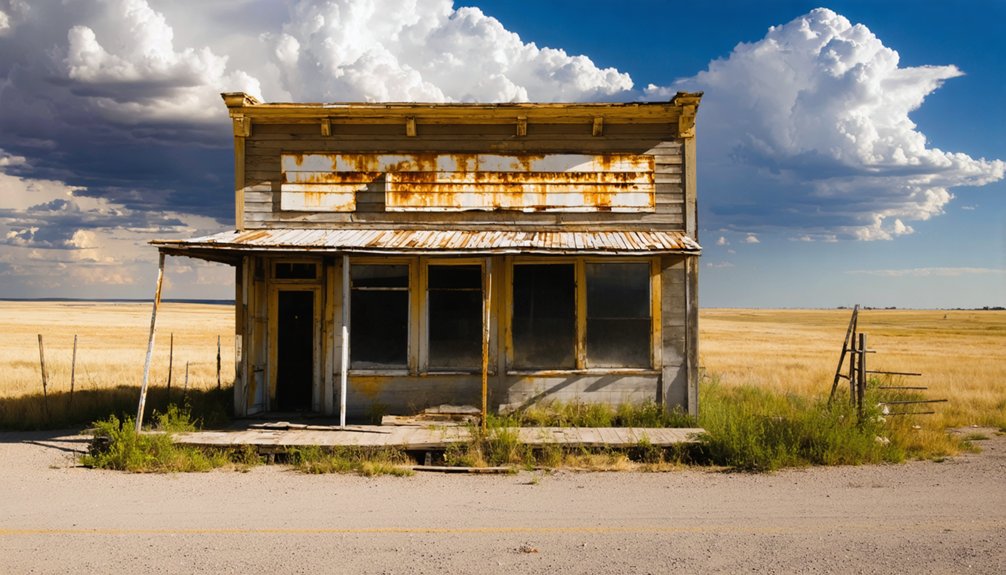
Planning a Dansby ghost town road trip means preparing for a remote, rugged adventure in Custer County’s Black Hills. This 1870s gold rush site vanished by 1886, leaving behind only foundation outlines, debris fields, and placer-scarred terrain. You’ll need offline maps, sturdy boots, and packed supplies since there’s no signage or services. Pair it with nearby Spokane ghost town for a richer narrative. Keep going and you’ll uncover everything you need to explore Dansby confidently.
Key Takeaways
- Dansby is a remote Custer County ghost town with minimal preservation, best understood through landscape features like foundation outlines and soil disturbances.
- Download offline maps via OnX or Gaia GPS before departing, as the site lacks signage and isn’t prominently marked on modern maps.
- Pack water, snacks, a first-aid kit, sturdy boots, and extra fuel, since the area offers no services or maintained roads.
- Use morning light and a polarizing filter to photograph subtle terrain evidence like depressions, debris fields, and weathered fragments effectively.
- Pair Dansby with nearby Spokane ghost town for standing structures, creating a cohesive regional mining history narrative in one day trip.
What Was the Dansby Ghost Town and Why Did It Disappear So Fast?
Tucked into Custer County during the Black Hills gold rush, Dansby was never built to last — it was a custom mill site where miners hauled in placer gravels from shallow diggings and processed them on-site.
At its peak, only 50 to 75 people called it home. By 1886, the ore played out, the operation shut down, and folks moved on fast.
You won’t find much tourist infrastructure here. Dansby left behind little in the way of historical preservation — no restored buildings, no interpretive signs, no paved pull-offs.
What you’ll find is a raw slice of frontier boom-and-bust reality. The town appeared under both “Dansby” and “Danby” in historical records, a small detail that reflects just how briefly it existed in anyone’s memory.
Where Is the Dansby Ghost Town Located in Custer County?
Dansby sits within Custer County, South Dakota, placing it squarely in the heart of Black Hills country — a region defined by rugged terrain, pine-covered ridges, and a dense layer of gold-rush history beneath the surface. You won’t find it on most modern maps, which is part of the appeal.
The county itself anchors a stretch of southwestern South Dakota rich in mining history, where dozens of short-lived camps once operated across remote hollows and creek beds. Don’t expect ghost town architecture in the traditional sense here — Dansby was a mill site, not a full townsite, so physical remains are minimal.
Instead, you’re reading the landscape itself, tracing where placer operations once ran and where a small frontier community briefly took root before disappearing entirely by 1886.
What’s Actually Left to See at the Dansby Ghost Town Site?
When you arrive at the Dansby site, don’t expect a preserved Main Street or standing storefronts — what you’ll find instead are subtle traces of a short-lived frontier operation.
Keep your eyes on the ground for foundations, debris fields, or landscape scars that hint at the mill work once done here, where workers processed placer gravels hauled in from nearby shallow diggings.
You’ll get the most out of the visit if you come prepared with maps and historical context, since the site offers little formal signage to guide your interpretation.
Visible Traces On-Site
Because Dansby functioned as a mill site rather than an established town center, don’t expect to find standing storefronts or a recognizable main street when you visit. What you’ll encounter instead are subtle mining remnants and landscape features that reward a sharp eye and some historical imagination.
Watch for these on-site traces:
- Foundation outlines where the processing mill once stood
- Debris fields scattered with fragments from the operation
- Soil disturbances marking former placer-gravel processing areas
- Landscape scars carved by extraction and hauling activity
- Irregular terrain patterns hinting at shallow diggings nearby
No formal signage guides you here, so bring a map and do your research beforehand. The site speaks quietly, but if you understand placer-mining logistics, Dansby’s story becomes surprisingly readable underfoot.
Mill Operation Remnants
The mill itself is the heart of what you’re actually reading when you walk the Dansby site. This wasn’t a full town in the traditional sense — it functioned primarily as a custom mill, processing placer gravels hauled in from surrounding shallow diggings.
What that means for you today is that town foundations are sparse, and don’t expect rows of crumbling storefronts. Instead, you’re looking for landscape evidence of a working operation — scattered mining equipment remnants, disturbed earth, and debris fields left behind when the operation closed by 1886.
The site rewards careful observation over casual glancing. Bring a good map, study the terrain, and let the land tell the story. The absence of structure is itself the clue — this place worked hard and disappeared fast.
Which Nearby Ghost Towns Pair Well With Dansby on the Same Drive?
Since Dansby works best as one stop on a broader drive, pairing it with Spokane, South Dakota, makes strong sense. Founded in 1890 after miners struck a quartz vein, Spokane still holds several standing structures, giving you a clearer picture of a frontier town layout than Dansby’s mill remnants alone can offer.
Pair Dansby with Spokane, South Dakota — standing structures, quartz-vein history, and a fuller picture of frontier life.
Together, these stops trace the region’s mining techniques and boom-bust rhythm beautifully.
Build your Black Hills ghost-town route around these paired stops:
- Dansby – placer-gold mill site, raw and minimal
- Spokane – standing structures, stronger visual payoff
- Custer County backroads – connect both sites efficiently
- Black Hills mining corridor – broader historical framing
- Photography pull-offs – capture landscape scars between stops
You’ll leave with a complete story, not just fragments.
How Should You Structure a Full Black Hills Ghost Town Day Trip?
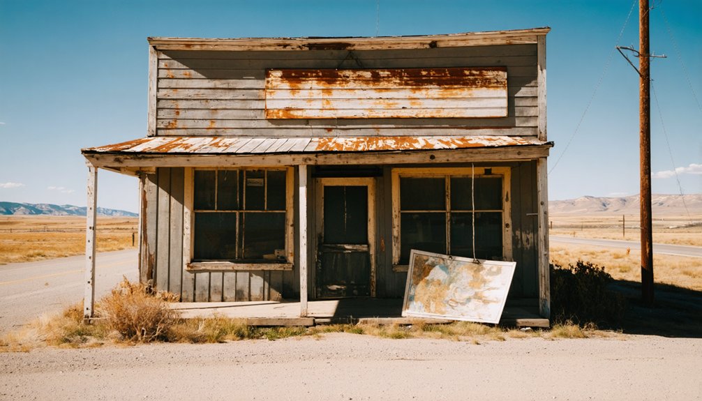
Start by mapping your route before you leave home, anchoring Dansby as one stop within a broader loop that connects multiple Black Hills ghost towns for a richer, more rewarding day.
You’ll get far more from the drive by pairing Dansby with sites like Spokane, which still has standing structures that offer strong visual payoff alongside the historical context.
Keep in mind that rural roads, limited services, and minimal on-site infrastructure mean you’ll need to fuel up, pack supplies, and confirm road conditions before heading out.
Build Your Route First
Because Dansby works best as one stop among several, you’ll want to map out a full Black Hills ghost town loop before you leave home. Plot your route around cultural significance and preservation efforts so each stop adds real value to the day.
Build your loop around these priorities:
- Anchor your route with Spokane, South Dakota, since standing structures make it a stronger visual stop
- Place Dansby mid-route as a brief historic mill site interpretation
- Research road conditions for rural Custer County before committing to any path
- Confirm land ownership and access status for each location
- Schedule driving time honestly, since dirt roads slow progress considerably
A tight, well-researched route beats a loose plan every time. Map it, verify it, then hit the road.
Pair Multiple Ghost Towns
A well-structured Black Hills ghost town day trip treats each stop as a chapter in a longer story, so you’ll want to sequence your locations intentionally rather than just chasing proximity on a map.
Dansby works best as a contemplative stop where you absorb placer mining history and town decline without expecting dramatic visuals. Pair it with Spokane, South Dakota, which offers standing structures from its 1890 quartz-vein origins, giving your itinerary genuine visual contrast.
That contrast matters because it shows how differently mining history unfolded across the region. Some camps collapsed fast, others left lasting footprints.
Plan For Rural Conditions
Once you leave the main highways behind, rural conditions become the defining variable of your day, so pack accordingly before you commit to any ghost-town route in Custer County. Unlike urban development corridors, these roads offer no roadside assistance, no cell coverage, and no convenience stops.
Prepare your vehicle and supplies using this checklist:
- Download offline maps before departing
- Carry extra water, fuel, and a basic tool kit
- Research land ownership to confirm legal access
- Bring a camera, since historical preservation here depends partly on documentation
- Check seasonal road conditions, especially after heavy rain
Freedom on these roads comes from preparation, not improvisation. Dansby rewards travelers who treat the landscape respectfully and arrive ready to navigate independently through some of South Dakota’s most unfiltered frontier terrain.
What Do You Need to Pack Before Visiting the Dansby Ghost Town Site?

Visiting a remote ghost town like Dansby means you’re heading somewhere with no services, no signage, and no guarantee of well-maintained roads, so packing smart makes the difference between a rewarding trip and a frustrating one.
Bring plenty of water, snacks, a paper map, and a fully charged phone with offline maps downloaded.
Wear sturdy boots since the terrain around former mill sites is uneven and rough.
Pack a camera for documenting historical artifacts you can’t touch or remove, since preservation challenges make responsible observation essential.
A first-aid kit, extra fuel, and a portable charger round out your essentials.
You’re not visiting a developed park, so self-sufficiency isn’t optional.
Everything you need must come with you.
How Do You Get to the Dansby Ghost Town on Rural Black Hills Roads?
Getting to Dansby means traversing the kind of rural Black Hills roads that don’t show up well on standard GPS apps, so you’ll want to download offline maps before you leave cell range. Custer County’s back roads reward prepared travelers with genuine local history and mining logistics context you won’t find at polished tourist stops.
Before you roll out, confirm these essentials:
- Download offline Custer County maps via OnX or Gaia GPS
- Check seasonal road closures through the South Dakota DOT site
- Fill your tank in Custer or Hot Springs before heading out
- Note land ownership boundaries to avoid trespassing issues
- Identify the nearest paved road as your bail-out route
Stay flexible, move deliberately, and treat every unmarked junction as a navigation checkpoint.
How Do You Photograph a Ghost Town Site When Almost Nothing Remains?
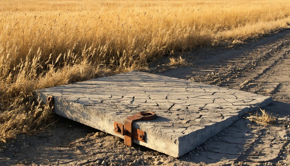
Photographing a ghost town like Dansby challenges you to see past the absence—because when almost nothing remains, the landscape itself becomes your subject. Focus your lens on subtle evidence: soil depressions where foundations settled, scattered debris fields, or terrain shaped by long-ago human activity. These details carry real historical preservation value, documenting what casual visitors overlook.
Use low-angle morning light to pull texture from the ground and emphasize shallow contours. Wide shots establish context, while close-ups of rusted metal or weathered timber reward patient eyes. Bring a polarizing filter to manage South Dakota’s open-sky glare.
Your photography techniques should tell a story of erasure—frame emptiness deliberately, letting the surrounding Black Hills landscape explain why people came, worked briefly, and then disappeared entirely.
Frequently Asked Questions
Is the Dansby Ghost Town Site on Public or Private Land?
We don’t have confirmed details on Dansby’s land ownership or preservation status, so you’ll want to verify before visiting. Check with Custer County officials to make sure you’re accessing the site legally and freely.
Are There Any Guided Tours Available for Black Hills Ghost Towns?
You’ll find guided tours covering Black Hills ghost towns through local outfitters and historic preservation groups. They’ll share local legends, bring history alive, and give you the freedom to explore these forgotten frontiers with expert insight.
What Time of Year Is Best for Visiting Dansby Ghost Town?
Summer’s sweet spot, late June through August, lets you chase Dansby’s historical preservation story under clear skies. You’ll maximize your photography opportunities on long, golden days before rural roads become nature’s own obstacle course.
Is the Dansby Site Accessible for Visitors With Mobility Limitations?
Dansby’s rural terrain makes mobility accessibility challenging, as you’ll likely encounter uneven ground and no paved paths. The site isn’t wheelchair friendly, so you’ll want to plan carefully and consider bringing sturdy mobility aids for rough conditions.
Can You Camp Overnight Near the Dansby Ghost Town Location?
You’ll find camping options near Dansby, but you must check local camping regulations first. Expect wildlife encounters in this rugged terrain, so prepare accordingly and embrace the wild freedom of South Dakota’s untamed Black Hills backcountry.
References
- https://en.wikipedia.org/wiki/List_of_ghost_towns_in_South_Dakota
- https://www.youtube.com/watch?v=_0WNYsFLSLA
- https://www.powderhouselodge.com/black-hills-attractions/fun-attractions/ghost-towns-of-western-south-dakota/
- https://myxoadventures.com/the-ghost-town-of-spokane-south-dakota/
- https://en.wikipedia.org/wiki/Category:Ghost_towns_in_South_Dakota
- https://www.youtube.com/watch?v=iLdeP_SBrJc
- https://www.atlasobscura.com/things-to-do/south-dakota/ghost-towns
- https://www.sdhspress.com/journal/south-dakota-history-2-2/some-black-hills-ghost-towns-and-their-origins/vol-02-no-2-some-black-hills-ghost-towns-and-their-origins.pdf
- https://ghost-towns.close-to-me.com/states/south-dakota/