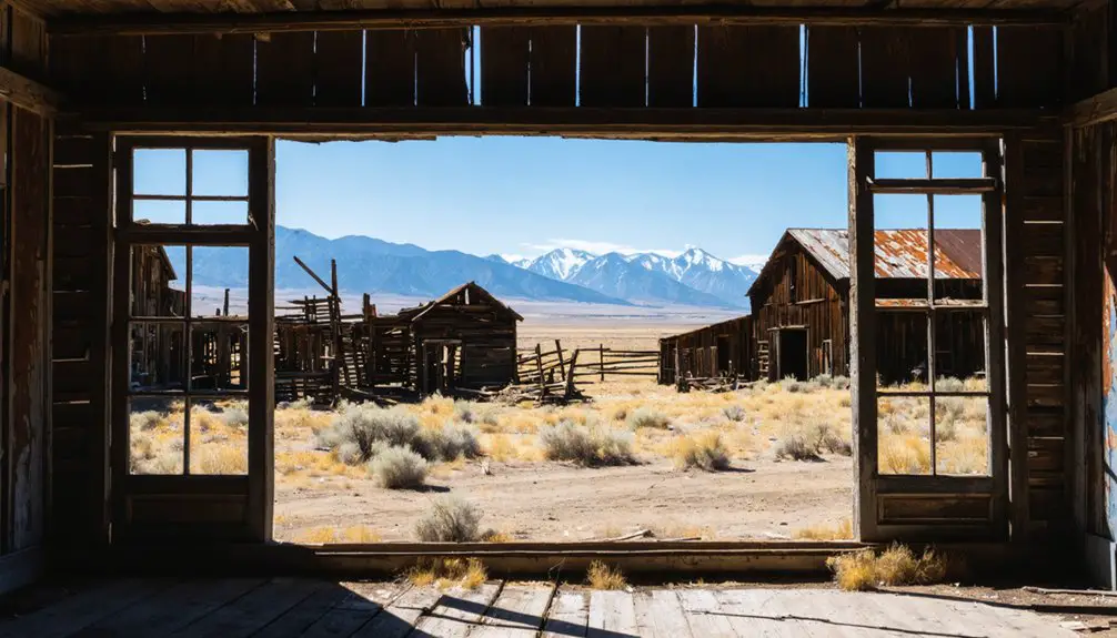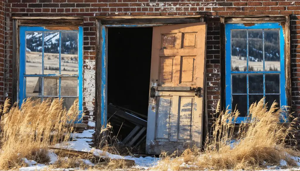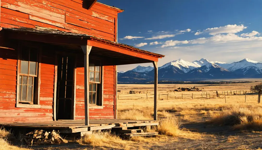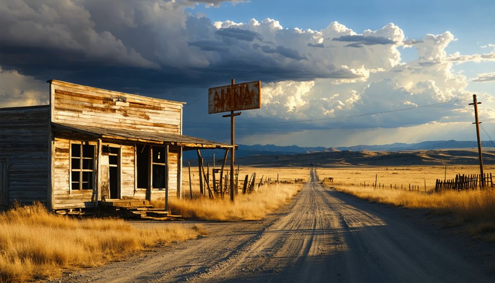
Planning a ghost town road trip to Dooley, Montana means trading comfort for raw, windswept prairie and silence that speaks louder than any museum exhibit. You’ll navigate rough gravel and dirt roads through northeastern Sheridan County, where almost nothing stands except grain elevator ruins and open sky. Bring extra water, fuel, and a spare tire—services don’t exist out here. Pair Dooley with nearby ghost towns like Whitetail and Comertown, and you’ve got a route worth exploring further.
Key Takeaways
- Dooley, Montana, is a remote ghost town in Sheridan County, best reached via gravel and dirt roads that may not appear on GPS.
- Bring offline maps, extra water, fuel, and a spare tire, as services are nonexistent and roads can be rough and unmarked.
- Almost nothing remains standing except grain elevator ruins, offering a raw, silent prairie experience without interpretive signs or visitor infrastructure.
- Pair Dooley with nearby ghost towns Whitetail and Comertown to create a thematic route centered on prairie settlement and agricultural decline.
- Read the landscape between stops—scattered homesteads, elevator ruins, and remnants tell the story of the 1913 railroad boom and subsequent abandonment.
What Is Dooley, Montana?
Tucked into the remote prairie of northeastern Sheridan County, Dooley, Montana, is a ghost town that once buzzed with the energy of railroad-era settlement. When the Soo Line Railroad arrived, townsite lots sold on July 30, 1913, and nearly forty buildings rose almost overnight. You’re looking at a place that grew fast, lived hard, and faded quietly.
Dooley served as a genuine community hub, built around railroad remnants, grain handling, and small-town commerce.
Today, it’s a landscape stripped down to memory and scattered traces. The historical architecture that once defined its Main Street is gone, claimed by fires, a 1934 tornado, economic collapse, and time itself.
What remains is raw prairie and history you can feel — the kind that rewards curious, independent travelers willing to seek it out.
What’s Left to See at Dooley, Montana Today?
When you arrive at Dooley today, honesty hits fast: there’s almost nothing left standing. The Rocky Valley Lutheran Church, once the last symbol of historical preservation in this wind-swept corner of Sheridan County, collapsed during a July 2019 storm. What held community memory together for decades is simply gone.
The Rocky Valley Lutheran Church held Dooley’s memory together — until a 2019 storm took even that.
You might spot remnants of grain elevators that once defined the town’s agricultural identity, and a roadside marker bearing the dates 1914–1957 quietly anchors the site.
The prairie itself tells the story now — flat, open, unapologetic.
Don’t come expecting a restored downtown or interpretive signs. Come instead ready to read the landscape, feel the silence, and respect what once was a bustling railroad stop that forty buildings couldn’t save from time.
How Dooley Went From Boomtown to Ghost Town
When the Soo Line Railroad arrived in 1913, Dooley exploded almost overnight, with roughly forty buildings rising at once after townsite lots sold on July 30th of that year. You can picture the energy of those early days — a busy depot, grain elevators, and a Main Street humming with commerce.
But that momentum wouldn’t last, as a cascade of forces soon stripped the town down to silence and scattered remnants.
Rapid Early Growth
Once the Soo Line Railroad arrived, Dooley exploded onto the northeastern Montana prairie with remarkable speed — townsite lots sold on July 30, 1913, and roughly forty buildings went up almost simultaneously. You can almost picture it: a raw, wind-swept landscape transforming overnight into a bustling commercial hub, full of ambition and possibility.
Dooley quickly established itself as a genuine business and community center, drawing settlers enthusiastic to stake their claim on open prairie land. Those early years carried real energy — the kind that community memories are built on.
Today, historical preservation efforts help keep that story alive, even as the physical town has largely vanished. When you visit, you’re walking ground that once hummed with frontier optimism and unchecked momentum.
Decline And Abandonment
That frontier optimism didn’t last. The 1920s homesteading bust gutted Dooley’s agricultural foundation, and the Great Depression finished what hard times had started. You can almost feel the weight of those losses standing on the empty prairie where forty buildings once hummed with commerce.
Fires swept through both sides of Main Street, erasing businesses that families had built from nothing. A tornado in 1934 took the Stadig Livery Barn. Armyworms, grasshoppers, and Mormon crickets ravaged the crops that surviving farmers desperately needed.
One by one, people left. What remains today exists largely through historical preservation efforts and community memory — the stories locals and researchers refused to let disappear.
Dooley’s arc from boomtown to ghost town reflects a broader prairie freedom that proved both exhilarating and brutally unforgiving.
How to Get to Dooley, Montana
You’ll find Dooley tucked into the remote northeastern corner of Sheridan County, Montana, where prairie roads can be rough, unmarked, and occasionally nonexistent on GPS navigation. Come prepared with a paper map or downloaded offline route, since rural Montana doesn’t forgive overconfidence in digital directions.
While you’re out there, you can string together a themed ghost-town route by adding nearby former Soo Line communities like Whitetail and Comertown to your stops.
Dooley’s Remote Prairie Location
Tucked into the remote northeastern corner of Sheridan County, Dooley sits deep in Montana’s open prairie, far from major highways and tourist infrastructure. You’re entering a landscape where the horizon stretches endlessly and small communities once rose and fell with the railroad.
Dooley shares this territory with other former Soo Line towns like Whitetail and Comertown, making the region rich with cultural significance for anyone tracing Montana’s homesteading era.
Don’t expect marked entrances or visitor centers. The prairie itself becomes your guide. What remains carries genuine historical preservation value, even without standing structures, because the land still reflects the settlement patterns that shaped this corner of Montana.
Come prepared with reliable navigation, since road guidance through here can lead you onto roads that barely exist.
Getting to Dooley means committing to rural Montana on its own terms. You won’t find the polished infrastructure of urban development out here — no interstate exits, no gas stations every few miles, no reliable GPS routing. Some mapping apps will send you down roads that simply don’t exist, so print a physical map or download offline navigation before you leave.
Sheridan County’s grid of gravel and dirt roads stretches endlessly across the northeastern prairie. Carry extra water, a spare tire, and enough fuel to account for detours. The isolation isn’t a flaw — it’s the point.
Historical preservation efforts here are minimal, meaning the landscape itself becomes your guide. Embrace that freedom, stay flexible with your route, and let the wide-open terrain tell Dooley’s story mile by mile.
Nearby Ghost Town Stops
Dooley sits within striking distance of several other ghost towns along the old Soo Line corridor, so it makes sense to string them together into a single prairie route.
Whitetail and Comertown both share similar railroad-era origins and offer the same raw, windswept atmosphere that makes historical preservation feel personal rather than curated. You’re reading the land itself as your primary document.
Between stops, keep your eyes open — this stretch of northeastern Montana delivers genuine wildlife encounters, from pronghorn cutting across the highway to hawks riding thermals above the grain fields.
The emptiness between towns isn’t dead time; it’s the connective tissue of the story.
Plan your fuel stops carefully, move at your own pace, and let the corridor reveal its layered history mile by mile.
No Services, No Structures: What Dooley Actually Looks Like Now
What you’ll find when you arrive at Dooley isn’t much — and that’s the honest truth of most genuine ghost towns. Urban development never reached this corner of northeastern Montana, and modern tourism infrastructure never followed.
What you’ll find when you arrive at Dooley isn’t much — and that’s the honest truth of most genuine ghost towns.
The Rocky Valley Lutheran Church, once the last standing structure, collapsed during a storm on July 8, 2019. That loss left the site with almost nothing recognizable.
You’re fundamentally standing on open prairie, where roughly forty buildings once rose overnight in 1913. Scattered remnants, a possible grain elevator, and a roadside marker are your only companions.
No signs direct you, no services support you, and no restored downtown greets you. What remains is raw landscape and silence — exactly the kind of unfiltered history that makes ghost town road trips worth taking.
Ghost Towns Near Dooley Worth Adding to Your Route
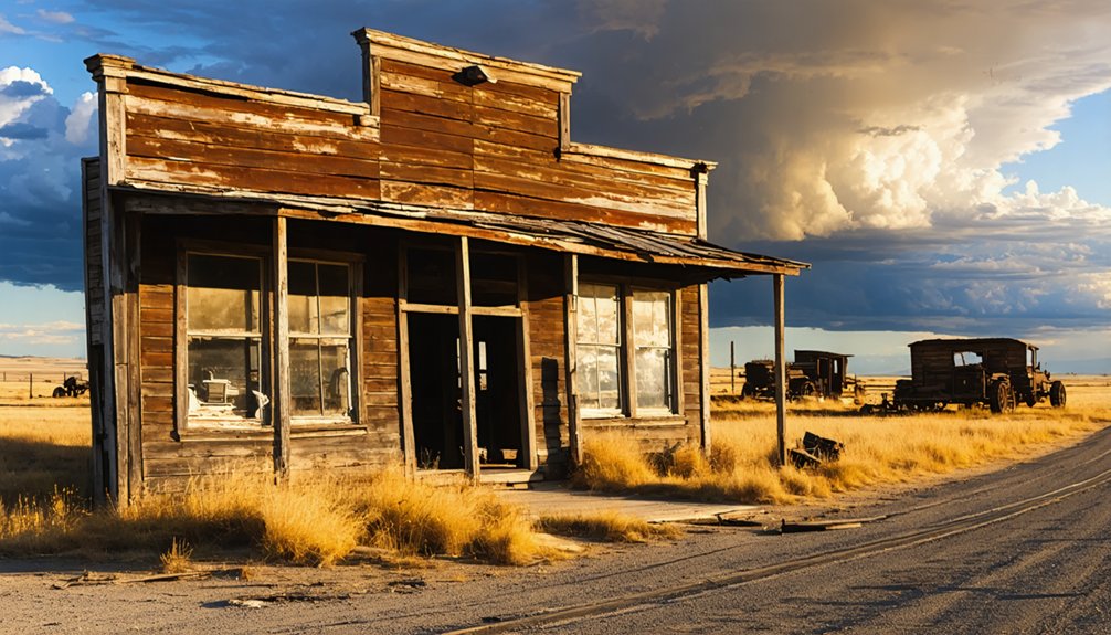
Once you’ve taken in Dooley’s silence, the surrounding corner of northeastern Montana rewards you for staying on the road. Whitetail and Comertown sit nearby, both former Soo Line stops that share Dooley’s railroad-era origins and agricultural collapse. Each carries its own community stories — different families, different losses, same unforgiving prairie economy.
Together, they form a natural ghost-town circuit through Sheridan County that deepens your understanding of the region’s historical preservation challenges and what disappears when rail lines go quiet. You won’t find museums or markers at every stop, but the landscape itself narrates the story.
Linking these towns into a single drive turns an afternoon detour into something more deliberate — a rolling record of a settlement era that burned bright and faded fast.
How to Plan a Montana Prairie Ghost Town Road Trip Using Dooley as Your Starting Point
Starting your route at Dooley sets a deliberate tone — you’re not chasing tourist attractions, you’re tracing the bones of a settlement era that collapsed under drought, depression, and depopulation. Dooley’s railroad history anchors the story: the Soo Line brought settlers, commerce, and briefly, forty buildings rising at once. Then it all unraveled.
From Dooley, push outward toward Whitetail and Comertown, neighboring communities sharing the same arc of arrival and abandonment. Study the landscape between stops — collapsed homesteads, grain elevator silhouettes, and vanished historical architecture that once defined prairie commerce.
Keep your map flexible and your expectations honest. Roads out here can disappear on navigation apps. That uncertainty is part of the experience. You’re moving through a region that history built and then quietly left behind.
Frequently Asked Questions
When Were Dooley’s Townsite Lots First Sold to the Public?
You’ll find that Dooley’s townsite lots first sold on July 30, 1913, launching a fleeting prairie boomtown. Today, ghost town tourism and historic site preservation keep this forgotten freedom-seeker’s destination alive in memory.
Was Dooley’s Church Ever Listed on the National Register?
Yes, you’ll find that the Rocky Valley Lutheran Church earned its place in historic preservation efforts when it was listed on the National Register in 1993 — a proud nod to Dooley’s ghost town architecture, before it collapsed in 2019.
What Railroad Line Originally Established Dooley as a Station Stop?
Coincidentally, the same Soo Line Railroad that sparked ghost town tourism also sealed Dooley’s fate — it originally established Dooley as a station stop, connecting you to historic railroads that once promised freedom across Montana’s vast, untamed prairie.
Did Any Natural Disasters Contribute to Dooley’s Early Decline?
Yes, natural disasters fueled Dooley’s early decline. You’d have witnessed a devastating 1934 tornado obliterate the Stadig Livery Barn, while relentless grasshoppers, armyworms, and Mormon crickets stripped the surrounding farmland bare, crushing any remaining hope.
What Year Did the Rocky Valley Lutheran Church Finally Collapse?
You’ll feel the weight of community legends knowing the Rocky Valley Lutheran Church, Dooley’s last symbol of historical architecture, finally collapsed on July 8, 2019, surrendering to a storm after decades of silent, solitary endurance.
References
- https://en.wikipedia.org/wiki/Dooley
- https://kids.kiddle.co/Dooley
- https://montanahistoriclandscape.com/2013/06/07/soo-line-towns-in-sheridan-and-daniels-counties/
- https://www.reddit.com/r/AbandonedPorn/comments/912sq3/the_abandoned_rocky_valley_lutheran_church_is_the/
- https://en.wikipedia.org/wiki/List_of_ghost_towns_in_Montana
- http://montanacounties.blogspot.com/2013/
- https://landingaday.wordpress.com/2015/03/27/whitetail-dooley-and-comertown-montana/
- http://sites.rootsweb.com/~mtscdgs/dooley.html
- https://en.wiktionary.org/wiki/Dooley