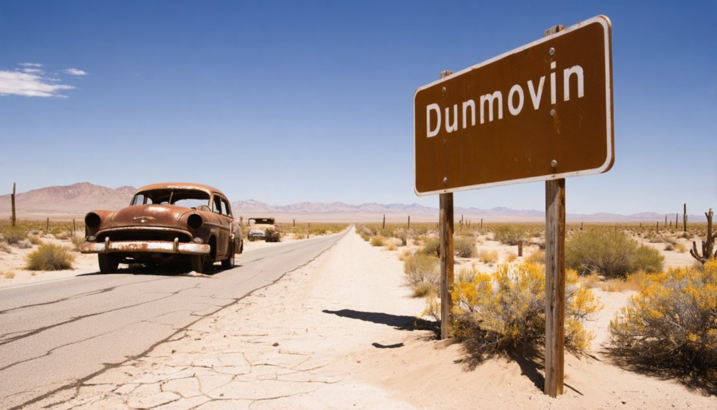
Dunmovin, California, sits along Highway 395 in Inyo County at 3,507 feet, where crumbling ruins mark what was once an essential silver freight stop tied to the Cerro Gordo Mines. To reach it, drive north past Coso Junction and loop back south on the highway’s southbound lane. You’ll find a ghost town rich with abandoned structures, rusted relics, and a layered history stretching back to the 1930s—and there’s far more to this forgotten place than meets the eye.
Key Takeaways
- Dunmovin sits along Highway 395 in Inyo County at 3,507 feet elevation, roughly three miles north of Coso Junction rest stop.
- Access requires driving north past Coso Junction, then looping back south, as ruins sit on Highway 395’s southbound side.
- Visit during spring or fall for optimal weather, wildflower blooms, and scenic lighting; avoid extreme summer heat and winter snow.
- Pack water, sturdy footwear, offline maps, and snacks, as no amenities exist nearby and cell service is unreliable.
- Dunmovin is private property; stay on public roadways or roadside pullouts and respect all posted signs to avoid trespassing.
What Is Dunmovin, California?
Tucked along Highway 395 in Inyo County, Dunmovin is a ghost town sitting at 3,507 feet in California’s high desert, roughly three miles north of the Coso Junction rest stop. Once a bustling freight station serving silver ingots from the Cerro Gordo Mines, it’s now a hauntingly quiet relic of California’s mining era.
You won’t find local cuisine or thriving businesses here — only crumbling ruins, abandoned structures, and decades of silence. Wildlife observation replaces the foot traffic that once defined this community.
Charles and Hilda King gave it the name “Dunmovin” in 1936 when they decided to settle permanently, and today that name feels fitting — time itself seems to have stopped moving here. It’s raw, unfiltered history waiting for you to explore.
How Dunmovin Went From Silver Freight Stop to Ghost Town
Before Dunmovin became the crumbling shell you see today, it served a vital economic purpose — hauling silver ingots out of the Cerro Gordo Mines and funneling them south toward Los Angeles. James Cowan built something real here, but financial collapse forced him out by 1932.
Before silver could reach Los Angeles, it passed through Dunmovin — and James Cowan built the lifeline that made it possible.
Local legends say the Kings breathed life back into the bones of this desert stop.
Here’s how the decline unfolded:
- Charles and Hilda King renamed the site “Dunmovin” after choosing it as their forever home
- A post office briefly operated from 1938 to 1941 before vanishing
- The Coopers kept operations alive until the 1970s, then the silence swallowed everything
- Without preservation efforts, vandalism and neglect claimed what time hadn’t
Now only six residents remain, and the ruins speak louder than any history book.
How to Reach Dunmovin on Highway 395
Reaching Dunmovin takes a little more planning than a simple highway pull-off. The ruins sit on the southbound side of Highway 395, about three miles north of the Coso Junction rest stop.
You’ll need to drive past the rest stop heading north, then loop back south to access the structures properly. Keep your eyes open during the drive — wildlife sightings are common in this high desert stretch, so watch for animals crossing the road.
There’s no local cuisine available at Dunmovin itself since no businesses operate there, so fuel up and grab food before you leave Olancha.
The elevation sits at 3,507 feet, and the surrounding boulder-filled valleys make the approach genuinely scenic.
Plan your timing carefully and respect the crumbling remains you’ll find waiting.
What Ruins and Structures Still Stand at Dunmovin?
When you arrive at Dunmovin, you’ll find a handful of deteriorating structures that once housed the cafe, store, and service station the Kings operated for decades.
You can see clear signs of vandalism and neglect scarring the remaining buildings, with broken windows, graffiti, and years of abandonment taking a heavy toll on what little survives.
Perhaps most intriguing, visitors have discovered historical artifacts on-site, including a paper dated 1986 that suggests the cafe and store remained active far longer than most ghost town records indicate.
Surviving Buildings And Structures
What’s left of Dunmovin tells a quiet, crumbling story of a community that once hummed with travelers, freight wagons, and desert commerce. You’ll find weathered ruins scattered along Highway 395’s southbound side, each structure whispering local legends of desert survival and hard-won lives.
Here’s what still stands amid the neglect:
- The former cafe shell, its walls stripped bare by decades of wind and vandalism
- A deteriorating service station structure frozen in time
- Remnants of the original store building
- Scattered outbuildings slowly returning to desert dust
No restoration efforts have touched these ruins, leaving them raw and honest. A paper dated 1986 found inside suggests life here lasted longer than most realize. You’re walking through genuine, unpolished history when you visit.
Signs Of Vandalism And Neglect
Though time alone would’ve been enough to claim Dunmovin, human hands have accelerated the decay. As you walk the grounds, you’ll notice graffiti scarring weathered walls, shattered windows, and stripped interiors — classic signs of urban decay that haunt forgotten places like this.
What vandals didn’t take, neglect finished off, leaving structures increasingly unstable and stripped of historical character.
Yet these ruins still carry weight. Every faded surface tells a story worth reading before it disappears entirely. Cultural preservation advocates argue that sites like Dunmovin deserve protection, not exploitation.
As a visitor, you carry responsibility here. Document what you see, take nothing, and leave the remaining structures undisturbed. Your respect keeps the history alive for the next traveler bold enough to seek it out.
Remaining Historical Artifacts Found
Despite decades of neglect and vandalism, Dunmovin still holds tangible remnants of its past — and you’ll feel the weight of that history the moment you step onto the grounds.
Archaeological findings scattered across the site reveal a community that once thrived in California’s high desert. Cultural preservation efforts have documented what remains, giving you context before you visit:
- Crumbling walls of the original cafe and service station
- A 1986 newspaper found inside, suggesting activity far beyond the town’s supposed decline
- Rusted fuel equipment and signage frozen in time
- Structural ruins that echo the Kings’ decision to call this place home permanently
These artifacts don’t just represent history — they represent freedom, self-reliance, and the courage to build something lasting in an unforgiving landscape.
When Is the Best Time to Drive Highway 395 to Dunmovin?
Planning your drive along Highway 395 to Dunmovin takes some timing, since the high desert climate at 3,507 feet can make or break your experience. Spring and fall offer the most comfortable temperatures, letting you stop at scenic viewpoints without battling summer’s brutal heat or winter’s icy road conditions.
Summer temperatures regularly push past 100°F, turning your exploration into an endurance test. Winter snowstorms occasionally close mountain passes along Highway 395, cutting off access entirely.
April through early June gives you cooler mornings, wildflower blooms across the valley floor, and prime wildlife sightings as animals become more active. September and October deliver crisp air and golden light that makes the rugged Panamint Range landscape feel cinematic.
Plan your arrival during daylight hours to safely navigate the highway’s southbound access loop.
Other Ghost Towns Along the Highway 395 Corridor
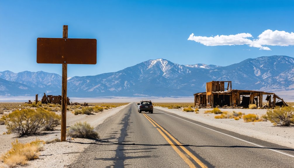
While Dunmovin makes a compelling stop, the Highway 395 corridor hides several other ghost towns worth weaving into your itinerary. Each site carries its own haunting story, inviting you to roam freely through California’s forgotten past:
- Darwin – Once Inyo County’s largest city, it’s now a semi-ghost town where outdoor activities like hiking reveal crumbling remnants of ambition.
- Olancha – Just north of Dunmovin, it offers a glimpse into early desert life and occasional local cuisine at roadside stops.
- Cerro Gordo Mines – The silver source that built Dunmovin’s purpose still stands hauntingly above the valley.
- Barker Ranch – A chilling Panamint Range hideout with a dark, unforgettable history.
String these stops together and you’ve got a road trip that truly feeds your spirit of independence.
Road Conditions, Trespassing Rules, and What to Bring
Before you head out, know that Highway 395 runs the site along its southbound lane, so you’ll need to drive north past the Coso Junction rest stop and loop back south to access the ruins.
Dunmovin sits on what appears to be private property, so respect any posted signs and avoid disturbing the remaining structures, since vandalism has already taken a serious toll on what’s left.
Pack water, sun protection, and sturdy footwear, as the high desert elevation of 3,507 feet, combined with the rocky terrain, makes this a trip where preparation matters.
Traveling Highway 395 to Dunmovin takes a bit of planning since the ruins sit on the southbound side of the road, meaning you’ll need to drive north past the Coso Junction rest stop and loop back south to reach them.
The surrounding high desert landscape rewards attentive drivers with stunning local flora and protected wildlife habitat along every mile.
Keep these navigation essentials in mind:
- Watch for fast-moving traffic when merging back onto the southbound lanes
- Note the elevation — you’re cruising at 3,507 feet through open Panamint Range terrain
- Pull over safely before photographing the ruins or surrounding desert scenery
- Respect the remoteness — cell service is unreliable, so download offline maps before departing
Freedom tastes best when you’re prepared.
Respecting Private Property
Dunmovin may be a ghost town, but that doesn’t mean it’s a free-for-all — the remaining structures sit on private property, so you’ll want to scout the area from the road or roadside pullouts rather than wandering onto the grounds uninvited.
The ruins carry their share of urban legends and local legends tied to the old freight days and the Kings’ era, making the site feel alive despite its abandonment. Respect keeps you legally protected and preserves what little remains.
Vandalism has already claimed much of Dunmovin‘s character, so don’t add to the damage. Bring binoculars for a closer look without crossing boundaries, pack water for the high desert heat, and photograph freely from public vantage points.
Freedom means exploring responsibly — leave the ghost town standing for the next curious traveler.
Essential Packing Checklist
Highway 395 makes for a straightforward drive to Dunmovin, but you’ll want to pack smart before heading into the high desert at 3,507 feet. This remote, unincorporated ghost town demands self-sufficiency, and respecting its cultural significance means coming prepared to explore without causing harm.
Pack these essentials before you go:
- Water and snacks – No businesses operate here; you’re on your own
- Camera and notebook – Document preservation efforts without touching fragile structures
- Sturdy footwear – Rocky, uneven terrain surrounds every crumbling building
- Navigation tools – Cell service is unreliable; download offline maps beforehand
Frequently Asked Questions
How Many People Currently Live in Dunmovin, California?
You’ll find only six residents call Dunmovin home, according to 2020 Census data. It’s a hauntingly sparse community where historical landmarks crumble and local legends echo through the abandoned, desert-swept ruins awaiting your exploration.
Who Originally Founded Dunmovin Before the Kings Renamed It?
Way back when, James Cowan originally founded it as Cowan Station in the early 1900s. You’ll find this abandoned mining town and historical ghost town served as a vital freight stop for Cerro Gordo’s silver ingots.
How Long Did the Dunmovin Post Office Operate Before Closing?
You’ll discover Dunmovin’s post office operated for only three years, from 1938 to 1941. As you explore its historic architecture and old mining equipment, you can’t help but feel the freedom of this fleeting, fascinating past.
What Elevation Is Dunmovin Located at Above Sea Level?
Like a relic frozen in time, you’ll find Dunmovin’s ghost town history perched at 3,507 feet above sea level, where these abandoned landmarks breathe thin desert air, inviting you to explore California’s rugged, untamed high desert freedom.
Who Purchased Dunmovin From the Kings in 1961?
Gordon and Ruth Cooper purchased Dunmovin from the Kings in 1961, keeping this ghost town tourism gem alive as one of Highway 395’s most intriguing historic landmarks until its permanent closure in the 1970s.
References
- https://desertspiritpress.net/2020/01/22/desert-angels-of-dunmovin/
- https://www.youtube.com/watch?v=dMOYvzf4PS0
- https://www.360cities.net/image/ghost-town-ruins-of-dunmoving-california
- https://www.legendsofamerica.com/ca-deathvalleyghosttownscalifornia/
- http://harryhelmsblog.blogspot.com/2008/09/ghost-town-of-dunmovin-california.html
- https://en.wikipedia.org/wiki/List_of_ghost_towns_in_California
- https://beyond.nvexpeditions.com/california/inyo/dunmovin.php
- https://www.exploratography.com/blog-cal/dunmovin-california
- https://www.ronnycox.com/dunmovin/
- https://www.youtube.com/watch?v=xnZ4zJMHUeM



