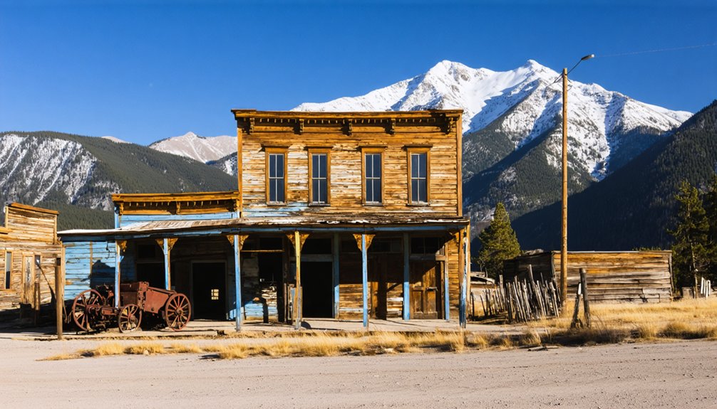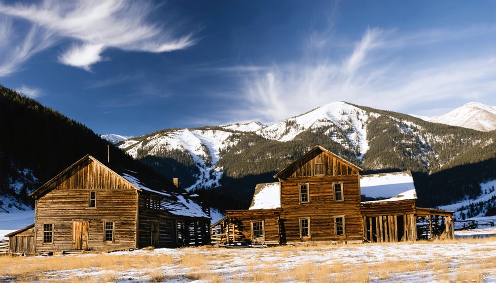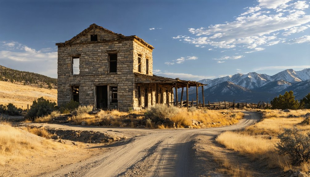
To plan your ghost town road trip to Uptop, head west from La Veta on Highway 160 for 12 miles, then turn onto rugged County Road 443 — you’ll need a high-clearance vehicle for the climb to 9,382 feet. Visit between late June and early October for the safest conditions. You’ll find a 1877 railroad depot, a preserved 1930 chapel, and a one-room schoolhouse still standing. There’s far more to this mountain relic than first meets the eye.
Key Takeaways
- Uptop sits at 9,382 feet in the Sangre de Cristo Mountains, featuring intact 1930s structures, an 1877 railroad depot, chapel, and schoolhouse.
- Reach Uptop via County Road 443, either 12 miles west of La Veta or 18 miles east of Fort Garland on Highway 160.
- High-clearance vehicles like trucks, SUVs, or crossovers are required for navigating rugged, unpaved County Road 443 safely.
- Visit between late June and early October for the best road conditions, dry switchbacks, and unobstructed mountain views.
- The annual Spanish Peaks International Celtic Music Festival each September offers live performances within Uptop’s historic mountain setting.
Why Uptop Is One of Colorado’s Most Preserved Ghost Towns
Perched at 9,382 feet in the Sangre de Cristo Mountains, Uptop stands as one of Colorado’s most remarkably intact ghost towns, where a 1930 chapel, a one-room schoolhouse, and the original 1877 railroad depot still hold their ground against time.
At 9,382 feet, Uptop’s 1877 depot, chapel, and schoolhouse still stand — frozen in Colorado’s mountain history.
You’ll find roughly a dozen structures still standing, each carrying local legends from the thriving Hispanic logging community that once numbered over 100 residents.
What saved this place wasn’t luck — it was deliberate preservation efforts by two New England sisters who purchased and began restoring the abandoned site around 2000-2001.
They recognized what others overlooked: a rare, untouched slice of Colorado railroad history.
When you walk these grounds, you’re stepping through a living record that most ghost towns simply can’t offer.
The Railroad History That Built Old La Veta Pass
When the Denver & Rio Grande Railroad crested Old La Veta Pass in 1877, it claimed the title of the highest railroad in the world at 9,400 feet — a staggering engineering achievement that instantly transformed this remote mountain corridor into a living, breathing community.
Railroad expansion through the Sangre de Cristo Mountains demanded bold mountain engineering, and the results reshaped everything:
- A Hispanic logging and lumbering community of over 100 residents flourished almost immediately.
- The depot, still standing today, became the pulse of daily life at Uptop.
- Traffic declined sharply after a safer North La Veta Pass opened in 1962.
You’re looking at ground zero of Colorado’s railroad ambition — where iron rails once conquered the sky before the modern world moved on.
The Chapel, Schoolhouse, and Depot Still Standing at Uptop
Though the railroad is long gone, three of Uptop’s most storied structures still stand as quiet monuments to the community that once thrived here. You’ll find the 1930 chapel remarkably well-preserved, its doors occasionally open to visitors drawn by its historic architecture and the local legends surrounding this tight-knit mountain settlement. Step inside if you can — it’s a rare, unfiltered connection to Uptop’s past.
The one-room schoolhouse stands nearby, silent but intact, where Hispanic logging families once built a future at 9,382 feet.
The original 1877 depot, perhaps the most significant survivor, now houses a small museum of local history. Each structure tells you something the highway never could — that Uptop wasn’t just a railroad stop, it was a real, breathing community.
How to Get to Uptop on Old La Veta Pass
To reach Uptop, head west from La Veta along US Highway 160 for 12 miles until you spot the turn onto unpaved County Road 443.
Alternatively, approach from the east out of Fort Garland, driving 18 miles before turning right onto Road 443.
Once you’ve found the turn, you’ll navigate a rugged, unpaved road that climbs toward the 9,382-foot summit of Old La Veta Pass.
Don’t attempt this route in a standard passenger car—high clearance is a must, and winter snowstorms can shut down access from the Highway 160 side entirely.
Finding Highway 160
Highway 160 is your gateway to Old La Veta Pass, threading through the heart of south-central Colorado‘s Sangre de Cristo Mountains. This route carries both cultural significance and historic preservation milestones at every mile marker.
From here, you’ve got two clear approaches:
- From La Veta: Head west on Highway 160 for 12 miles until County Road 443 appears on your right.
- From Fort Garland: Travel east on Highway 160 for 18 miles, then turn left onto County Road 443.
- From Walsenburg: Drive southwest along Highway 160 through La Veta, continuing toward the pass turnoff.
Once you spot County Road 443, you’re standing at the threshold of a community that shaped Colorado’s mountain heritage.
Bring a high-clearance vehicle — the road demands it.
Turning Onto Road 443
Once you’ve located County Road 443 branching off Highway 160, the real journey begins. Turn onto the unpaved road and prepare for terrain that demands a high-clearance vehicle — this isn’t a suggestion, it’s a requirement.
The road winds through the Sangre de Cristo Mountains, rewarding you with scenic viewpoints that stretch across the Spanish Peaks landscape.
As you climb toward 9,382 feet, local folklore comes alive around every bend — whispers of the 1877 Hispanic logging community that once thrived here, the railroad that crested the highest pass in the world.
Drive deliberately, respect the terrain, and arrive from the west if winter travel concerns you. County Road 443 stays open year-round from that direction, keeping Uptop within your reach.
Vehicle Requirements Matter
County Road 443 doesn’t forgive unprepared drivers — you’ll need a high-clearance vehicle to navigate the unpaved terrain that climbs toward Uptop’s 9,382-foot elevation. The road’s rugged character demands respect, and the right vehicle means the difference between reaching this site of profound historic significance or turning back defeated.
Before you roll out, confirm these three essentials:
- High-clearance vehicle — standard sedans won’t survive the rocky, uneven surface
- Checked tire pressure and suspension — the climb punishes neglected mechanics
- Seasonal road awareness — snow can block Highway 160 access during winter months
Arriving prepared means you’re genuinely free to explore Uptop’s cultural preservation story — its chapel, schoolhouse, and depot museum — without mechanical setbacks stranding you miles from civilization.
What Kind of Vehicle Do You Need for This Trip?
Once you turn off Highway 160 onto unpaved County Road 443, you’ll need a high-clearance vehicle to handle the rough terrain leading up to Uptop.
Winter months bring unpaved snow that can make the Highway 160 approach impassable, so timing your visit matters as much as your choice of wheels.
The west side of County Road 443 stays open year-round, giving you a seasonal workaround if conditions close the eastern approach.
High-Clearance Vehicle Requirements
Because County Road 443 is unpaved and rugged, you’ll need a high-clearance vehicle to navigate it safely. The road’s unforgiving terrain demands preparation — your vehicle becomes your key to accessing Uptop’s historical preservation and cultural significance firsthand.
Before you head out, confirm your rig handles these realities:
- Rough, unpaved surfaces stretch the entirety of County Road 443, rattling low-clearance vehicles and risking undercarriage damage.
- Seasonal snow accumulation from Highway 160’s eastern approach can block passage entirely during winter months.
- Steep mountain grades near the 9,382-foot summit require reliable four-wheel drive and responsive braking.
Trucks, SUVs, and crossovers with genuine ground clearance handle this route confidently. Sedans and standard passenger cars simply won’t cut it — leave them behind.
Seasonal Road Conditions
Seasons shape your access to Uptop as dramatically as the mountains themselves. Summer delivers clear skies, dry roads, and unobstructed views of the Spanish Peaks — your best window for exploring the site’s architectural preservation up close. You’ll walk freely among the chapel, schoolhouse, and depot without battling snow or ice.
Winter tells a different story. Nobody plows this pass, and seasonal storms routinely cut off access from Highway 160. The cultural significance of this Hispanic mountain community doesn’t pause for weather, but your vehicle might.
County Road 443 stays open year-round from the west side, so Fort Garland remains a viable entry point even in colder months.
Plan around the seasons, not against them, and Uptop will reward your timing generously.
What to Expect Once You Arrive at Uptop?
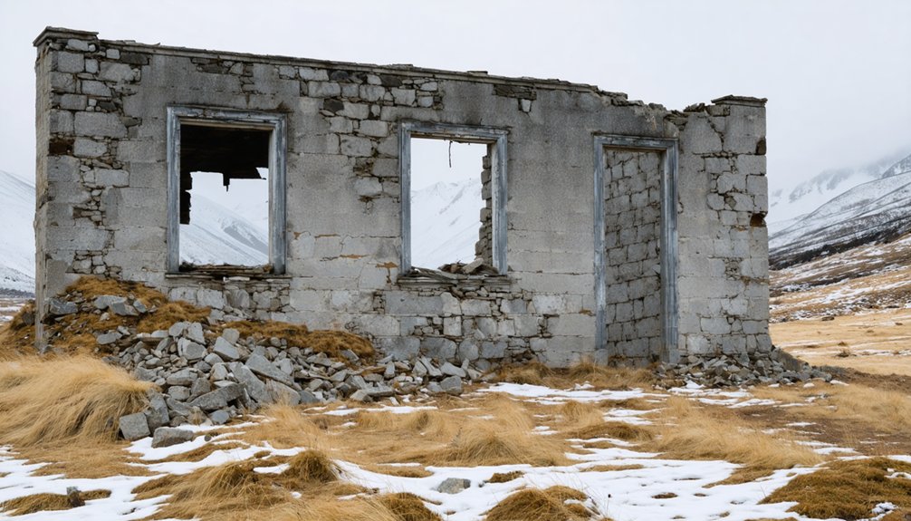
Arriving at Uptop, you’ll find a hauntingly preserved cluster of roughly a dozen structures scattered across the 9,382-foot summit of Old La Veta Pass. Historical artifacts and local legends breathe life into every weathered board and rusted hinge.
At 9,382 feet, Uptop’s dozen weathered structures stand frozen in time, haunted by history.
Expect to explore:
- The 1877 depot museum, housing historical artifacts that chronicle the railroad’s record-breaking ascent and the Hispanic logging community that thrived here.
- The 1930 chapel and one-room schoolhouse, both well-preserved and evoking the self-sufficient spirit of those who once called this summit home.
- The S-Curved Bar and Tumbleweed Dance Hall remnants, where local legends of rowdy mountain nights still echo across the windswept pass.
You’ll leave with a visceral sense of Colorado’s untamed, forgotten history.
Best Time of Year to Visit Old La Veta Pass
Summer reigns as the prime season to visit Old La Veta Pass, when County Road 443‘s unpaved switchbacks dry out, the Spanish Peaks sharpen against a cloudless sky, and you’re free to roam the site without battling snowdrifts or icy ruts.
The historic architecture — the 1930 chapel, the original depot, the weathered cabins — catches golden light beautifully, and the mountain vistas stretch unobstructed toward the Sangre de Cristo range.
September adds another layer, coinciding with the Celtic Music Festival‘s Welcome Gathering near the site.
Winter access exists from the west side, but Highway 160’s snowpack frequently cuts off the eastern approach.
If you’re after full freedom to explore without seasonal compromise, aim for late June through early October.
Weather and Road Hazards on Old La Veta Pass
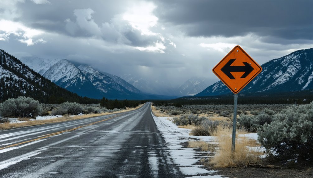
Before you load up and head out, you’ll want to respect the real hazards that come with visiting Uptop. Winter snows go unplowed on Old La Veta Pass, cutting off Highway 160 access entirely and leaving the road to seasoned hikers only.
Add in the wildfire threat dramatized by the 2018 Spring Creek fire and the rutted, unpaved County Road 443 that demands a high-clearance vehicle.
And you’ll quickly understand that this ghost town road trip rewards the prepared traveler.
Winter Snow Access Challenges
Winter transforms Old La Veta Pass into a formidable obstacle, and you’ll need to plan accordingly before pointing your vehicle toward Uptop.
Nobody plows County Road 443, so snow accumulates unchecked, burying the unpaved road and threatening historical artifacts housed within the site’s fragile structures. Preservation techniques employed by the site’s caretakers can’t overcome drifting snow blocking your path.
Navigate winter access strategically:
- Approach from the west via Fort Garland, where County Road 443 remains open year-round.
- Avoid Highway 160’s eastern approach after seasonal snowstorms, which frequently render that corridor impassable.
- Confirm current road conditions before departing, as high-clearance vehicles still struggle against heavy accumulation.
Your freedom to explore Uptop depends entirely on choosing the right entry point when winter tightens its grip.
Wildfire Risks Near Uptop
Wildfire transforms the Sangre de Cristo Mountains into a gauntlet of smoke, road closures, and threatened history, as the 2018 Spring Creek Fire demonstrated when it bore down on structures that two sisters spent years restoring.
Before you head out, check Colorado’s active fire maps and monitor closure alerts from Huerfano and Costilla counties.
Wildfire safety isn’t optional at 9,382 feet — escape routes are limited, and conditions shift fast. You’re responsible for knowing when to turn back.
Fire prevention awareness matters here too; this isn’t a place to build open fires near historic timber structures.
Summer visits carry the highest risk, so pack a charged phone, study your exit options, and respect any posted restrictions.
Uptop’s survival depends on visitors who take these threats seriously.
High-Clearance Vehicle Requirements
County Road 443 is unpaved, rutted, and unforgiving — and without a high-clearance vehicle, you won’t make it far. This road demands respect, and arriving prepared means you’ll actually reach Uptop’s fragile structures worth protecting through historical preservation efforts.
Before you go, know these three realities:
- Standard sedans bottom out on the rocky, washboard surface — bring a truck or SUV with genuine clearance.
- Winter snowpack makes the Highway 160 eastern approach impassable without plowing support.
- Soft shoulders border wildlife conservation corridors, so staying on the road protects both your vehicle and the surrounding habitat.
You’re chasing freedom on this road trip, but freedom favors the prepared. The right vehicle turns an impossible route into an unforgettable passage through Colorado’s mountain history.
Annual Events and Concerts Held at Uptop
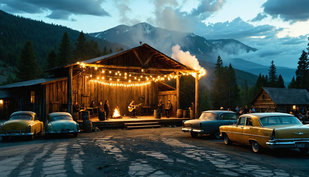
Uptop comes alive each September when the Spanish Peaks International Celtic Music Festival kicks off with its annual “Welcome Gathering” at this historic mountain site. You’ll find yourself surrounded by wildflower blooms fading into autumn gold while mountain wildlife retreats to the tree line, making room for world-class performers like Carlos Nunez and Eileen Ivers.
The music echoes off century-old cabins and drifts across the pass, creating an atmosphere unlike any conventional concert venue. Local favorites The Rifters and the legendary Chuck Pyle have graced Uptop‘s stages, blending regional tradition with international flair.
If you’re craving cultural immersion alongside raw Colorado wilderness, timing your road trip around this festival transforms a simple ghost town visit into an unforgettable, freedom-filled mountain experience.
Where to Stay and What to See Near Old La Veta Pass
After soaking in Uptop’s ghost town atmosphere, you’ll find La Veta just 12 miles east along Highway 160. It offers charming accommodations, local dining, and a welcoming small-town rhythm that pairs perfectly with high-altitude exploration.
Make the most of your visit with these three stops:
- Local dining in La Veta – Refuel at locally owned restaurants serving hearty Colorado comfort food after your mountain drive.
- Scenic viewpoints along Highway 160 – Pull over for unobstructed sightlines of the twin Spanish Peaks rising dramatically above the Sangre de Cristo range.
- Fort Garland Museum – Eighteen miles west, this preserved frontier outpost delivers authentic Southwest history worth the detour.
La Veta’s unhurried pace and open skies make it a natural basecamp for independent travelers chasing wide-open Colorado terrain.
Frequently Asked Questions
Is Photography Permitted at Uptop’s Historic Structures and Private Buildings?
The knowledge base doesn’t specify photography regulations, but you’ll want to respect historical preservation guidelines. You’re free to capture Uptop’s weathered chapel, schoolhouse, and cabins — just stay mindful of private property boundaries while exploring.
Are Pets Allowed When Visiting the Uptop Ghost Town Site?
No official pet policy’s confirmed, but you’re free to bring your companion — prioritize pet safety on rugged terrain, honor leash requirements in shared spaces, and keep your furry trailmate close amid unpredictable mountain conditions.
Can Visitors Legally Enter All Remaining Buildings at Uptop?
You can’t freely enter all buildings — historic preservation limits access. The 1930 chapel occasionally opens its doors, but guided tours govern your exploration of remaining structures, ensuring these irreplaceable remnants of freedom’s frontier survive for future wanderers.
Is There Cell Phone Service Available at Old La Veta Pass?
Cell service at Old La Veta Pass is unreliable — you’ll likely find little to no mobile connectivity at 9,382 feet in the Sangre de Cristo Mountains. Embrace the freedom; disconnect completely and let the wilderness claim your full attention.
Are Restroom Facilities Available for Visitors at the Uptop Site?
Visitor facilities aren’t luxurious here, but don’t let that stop you — restroom availability is limited at Uptop, so you’ll want to plan ahead and bring essentials before hitting County Road 443’s rugged, freeing terrain.
References
- https://www.uncovercolorado.com/activities/uptop-ghost-town/
- https://savingplaces.org/stories/uptop-colorado-ghost-town-beating-heart
- https://girlcamper.com/chapter/the-ghost-town-on-old-laveta-pass-uptop-colorado/
- https://www.yelp.com/biz/uptop-ghost-town-la-veta
- https://celticmusicfest.com/2017/09/02/uptop-ghost-town-crossroads-history-old-la-veta-pass/
- https://www.denverpost.com/2018/07/24/la-veta-pass-historic-site-saved-from-wildfire/
- https://spanishpeakscountry.com/blog-fall-winter-in-spanish-peaks-country-from-ski-slopes-to-ghost-towns/
- https://www.colorado.com/cities-and-towns/la-veta
- https://www.denvergazette.com/2018/07/21/colorful-colorado-ghost-town-miraculously-survives-spring-creek-fire-33151119-25d5-52a2-a19f-0e4f308c55b0/
- https://www.historycolorado.org/sites/default/files/media/documents/2018/5hf2410.pdf