Planning a ghost town road trip to Elliot City, Louisiana means embracing a different kind of adventure. You won’t find crumbling storefronts or roadside markers — just flat floodway terrain along US 190 in Pointe Coupee Parish. This small lumber community survived repeated floods in 1912 and 1913 before the 1927 McCrea crevasse sealed its fate. Residents were displaced in 1939 to make way for the Morganza Spillway. Stick around, and you’ll uncover everything you need to navigate this hauntingly invisible piece of Louisiana history.
Key Takeaways
- Elliot City is located near Livonia, Louisiana; travel west on US 190 for about six miles and use GPS coordinates 30.555942, -91.662475.
- Expect no signage, preserved ruins, or roadside markers, as the townsite lies beneath or adjacent to US 190.
- Check the Morganza Spillway gate status before visiting, as open gates submerge the site, as occurred in 1973 and 2011.
- Visit during dry seasons for the best access, and combine the trip with nearby ghost towns like East Krotz Springs and Torras.
- Elliot City was officially abandoned in 1939 when the federal government displaced residents to construct the Morganza Spillway flood control infrastructure.
What Was Elliot City, Louisiana?
Before the highway swallowed it whole, Elliot City was a small lumber community tucked into Pointe Coupee Parish’s 10th Ward, roughly six miles west of Livonia, Louisiana. It wasn’t a glamorous town, but it was a real one — until the river kept winning.
Before the highway swallowed it whole, Elliot City was a real town — until the river kept winning.
Floods hit hard in 1912 and 1913, then again after the 1927 McCrea crevasse on the Atchafalaya River. Each wave chipped away at the community’s foundation.
By 1939, town abandonment became official when the federal government forced residents out to make way for flood control infrastructure — specifically, the Morganza Spillway.
What you won’t find today is a preserved ghost town. What you’ll find is a layered history hiding beneath U.S. Route 190, waiting for curious travelers like you to uncover it.
Flooding, Federal Engineers, and the Death of a Lumber Town
When you trace Elliot City’s collapse, you find not one disaster but a relentless series of them — levee breaks flooded the town in 1912 and 1913.
Then the 1927 McCrea crevasse hit what remained.
Federal engineers then delivered the final blow, forcing residents out in 1939 to make way for the Morganza Spillway’s construction.
The town didn’t just fade; it was systematically erased by both nature and government infrastructure.
Repeated Floods, Broken Levees
Elliot City didn’t die all at once — it drowned in stages. When you dig into the town’s history, you’ll find a community repeatedly battered before it finally disappeared.
In 1912 and 1913, levee breaches along the Atchafalaya River at Latania and East Krotz Springs sent floodwaters pouring across the land. Residents rebuilt. Then the 1927 McCrea crevasse hit, delivering another devastating blow.
Each flood stripped away a little more stability, a little more reason to stay. Flood mitigation efforts existed, but the levee system couldn’t hold against the river’s relentless pressure.
You’re not looking at one catastrophic moment here — you’re looking at years of accumulated loss, where the water kept winning and the community kept losing ground, literally and economically.
Morganza Spillway Erases Town
After surviving decades of levee breaks and floodwaters, Elliot City met its final end not from the river itself but from the federal government. In 1939, engineers forced residents out to make way for the Morganza Spillway, a massive flood management structure designed to protect larger cities downstream.
Whatever historical artifacts remained were buried, displaced, or lost entirely. The spillway’s gates opened in 1973 and again in 2011, submerging the site completely both times.
When you drive through today, you’re rolling across what was once a living lumber community. U.S. Route 190 now covers the old townsite, erasing the street grid and any physical memory of the place.
The federal solution that saved the region fundamentally absorbed one small town whole.
What’s Left to See at Elliot City Today?
If you’re expecting crumbling storefronts or photogenic ruins, Elliot City will catch you off guard. Almost nothing remains. U.S. Route 190 now covers the original townsite, making land reclamation complete in the most literal sense. No historical artifacts line the roadside. No interpretive signs explain what once stood here. One structure may still exist, but don’t count on finding it easily.
What you’re really visiting is a concept — a place where a community once lived, flooded repeatedly, and was ultimately erased by federal engineering. Bring old maps, your curiosity, and realistic expectations.
The landscape itself tells the story if you know what you’re looking for: flat floodway terrain, the nearby Morganza Spillway, and a highway running over silence.
How to Find the Site Along the US 190 Corridor
Start your search in Livonia, Louisiana, then head west on US 190 for roughly six miles into the 10th Ward of Pointe Coupee Parish.
You won’t find a visible town core or roadside marker waiting for you, because the former townsite lies beneath or immediately alongside the highway itself.
Lock in the coordinates 30.555942, -91.662475 on your GPS before you leave, so you can pinpoint the spot where Elliot City once stood without driving past it.
Starting From Livonia
Heading west out of Livonia on U.S. Route 190, you’ll cover roughly six miles before reaching the approximate coordinates where Elliot City once stood. Keep your eyes open, because there’s no welcome sign, no main street, and no preserved ruins waiting for you. The town essentially vanished beneath the roadway itself.
Pull up historical maps before you leave home — they’ll still show Elliot City’s name printed confidently across land that modern infrastructure has since swallowed whole. Locals carry flood legends about the repeated Atchafalaya River breaks that battered this community long before the federal government displaced its remaining residents entirely.
Your best landmark is the road itself. You’re not driving toward something visible — you’re driving across something buried.
Navigating US 190 West
Once you’ve cleared Livonia’s small commercial strip, U.S. Route 190 West becomes your primary guide toward the ghost town’s footprint. Drive approximately six miles and you’ll enter the corridor where Elliot City once stood.
Don’t expect signage or a pulloff — the town’s former core sits largely underneath the road itself, erased by decades of levee engineering and federal flood-control projects. Keep your eyes on the surrounding landscape instead.
The flat, open terrain tells the real story — this land was intentionally redesigned to manage water, not preserve communities. Understanding the area’s flood history transforms an otherwise unremarkable stretch of highway into something genuinely haunting.
You’re fundamentally driving over a town that disappeared through both natural disaster and calculated government engineering decisions.
Pinpointing the Former Townsite
Your best anchor point is the coordinate 30.555942, -91.662475, which you can drop directly into Google Maps or a GPS app before you leave Livonia. That pin places you roughly six miles west, directly along the US 190 corridor where Elliot City once stood.
Don’t expect historical artifacts or a recognizable townsite — the roadway and flood-control infrastructure have consumed nearly everything. What you’re really *oriented* toward is a layered history buried beneath asphalt.
Community legends describe a functioning lumber town before repeated flooding and the 1939 evacuation erased it. Pull over safely along US 190, study your surroundings, and let the geography do the talking. The flat, open floodway landscape tells you more about this town’s fate than any surviving structure ever could.
When to Visit and What to Expect Near the Morganza Spillway
Planning a visit to Elliot City means keeping one eye on the Morganza Spillway’s status, because the entire site can disappear underwater whenever the U.S. Army Corps of Engineers opens the control gates. That happened in 1973 and again in 2011, turning this stretch of US 190 into open floodwater. You’ll want to check spillway conditions before driving out.
Dry seasons offer the clearest access, though don’t expect urban decay or historical preservation markers—there’s virtually nothing standing. The area rewards curious travelers who appreciate invisible history rather than dramatic ruins.
Bring a map that still marks Elliot City, study the surrounding floodway levees, and let the Morganza Spillway infrastructure tell the story that the vanished town no longer can.
More Ghost Towns in Pointe Coupee Parish Worth the Drive
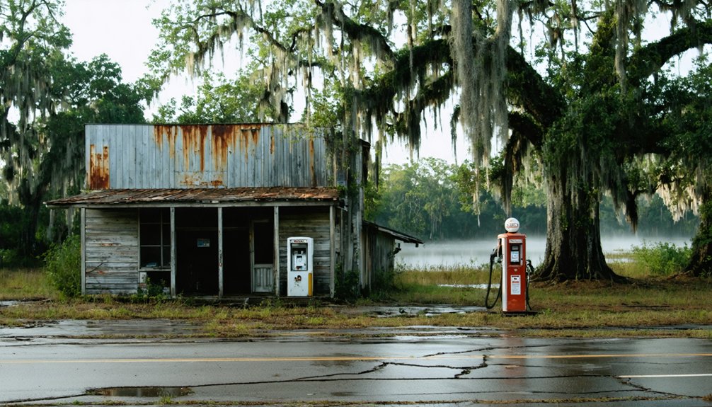
Elliot City isn’t the only ghost town worth chasing through Pointe Coupee Parish. East Krotz Springs sits nearby, sharing a strikingly similar story of flooding impacts that erased entire communities from the map. Like Elliot City, it fell victim to levee failures along the Atchafalaya River, leaving behind little more than historical landmarks and scattered references on old maps.
Torras is another displaced settlement worth researching before you hit the road. These towns form a natural circuit through the parish’s floodway landscapes, letting you piece together how federal flood-control engineering and repeated river breaks reshaped human settlement across the region.
You won’t find preserved ruins at most stops, but the layered history you’ll uncover makes the drive genuinely rewarding.
Check Spillway Gate Status Before You Go
Before you load up the car and head toward Pointe Coupee Parish, check whether the Morganza Spillway’s control structure gates are open. When officials activate those gates for levee engineering purposes and floodplain preservation, the entire Elliot City site goes underwater. It happened in 1973 and again in 2011, and it’ll happen again whenever the river demands it.
The U.S. Army Corps of Engineers posts spillway status updates online, so a quick search before departure saves you a wasted trip. If the gates are closed, you’re clear to travel US 190 and explore the corridor where the town once stood.
If they’re open, wait it out. This site rewards patience, and the history isn’t going anywhere.
What Elliot City Reveals About Louisiana’s Flood-Control History
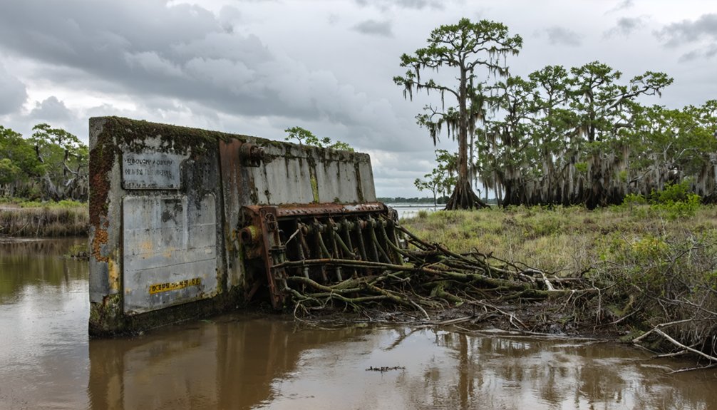
Once you’ve confirmed the spillway gates are closed and you’re headed down US 190, you’re not just driving over a forgotten town—you’re crossing a landscape that tells the whole story of how Louisiana learned to manage one of the most powerful river systems on earth.
Elliot City absorbed floods in 1912, 1913, and 1927 before the federal government forced residents out entirely in 1939 to build the Morganza Spillway. The town vanished beneath infrastructure designed to protect larger populations downstream. That trade-off is the real story here.
Cultural preservation lost ground to flood-control engineering, and historical documentation is now all that keeps Elliot City alive. Standing on that roadway, you’re experiencing exactly how flood management reshapes communities, landscapes, and the freedom people once had to simply stay put.
Frequently Asked Questions
Is There a Historical Marker or Sign at the Elliot City Site?
You won’t find any historical preservation markers or signs at Elliot City’s site. The road’s swallowed the town whole, leaving only local legends to guide your curiosity along the US 190 corridor.
Was the Nearby World War II Bombing Range Ever Open to the Public?
The records don’t confirm public access ever existed — this military training bombing range served wartime necessity, not civilian curiosity. You’d have explored restricted skies, where Harding Army Air Field pilots sharpened deadly precision over these now-quiet Louisiana flatlands.
Are There Any Photographs of Elliot City Before It Was Abandoned?
Historic photos of Elliot City’s abandoned structures are extremely rare, but you’ll want to dig through Louisiana state archives and Pointe Coupee Parish historical collections, where old maps and documents might reveal glimpses of this vanished lumber community.
Can You Legally Stop or Park Along US 190 at the Site?
Like a ghost itself, clarity on parking regulations vanishes here. You’ll need to check current roadside safety rules before stopping along US 190, as no documented legal pull-off exists at this historically submerged site.
Were Residents of Elliot City Compensated When Forced Out in 1939?
The abandonment history doesn’t reveal whether resident compensation was offered when authorities forced families out in 1939. You’re left with unanswered questions, as records remain unclear about what, if anything, displaced residents received.
References
- https://en.wikipedia.org/wiki/Elliot_City
- https://www.onlyinyourstate.com/trip-ideas/louisiana/underwater-ghost-town-la
- https://www.wikiwand.com/en/map/Elliot City
- https://classicrock1051.com/16-ghost-towns-in-louisiana/
- http://wikimapia.org/37768832/Elliot-City-Louisiana-Ghost-Town
- https://en.wikipedia-on-ipfs.org/wiki/List_of_ghost_towns_in_Louisiana
- https://en.wikipedia.org/wiki/Category:Ghost_towns_in_Pointe_Coupee_Parish
- https://kids.kiddle.co/List_of_ghost_towns_in_Louisiana
- https://www.onlyinyourstate.com/trip-ideas/usa/forgotten-towns-usa