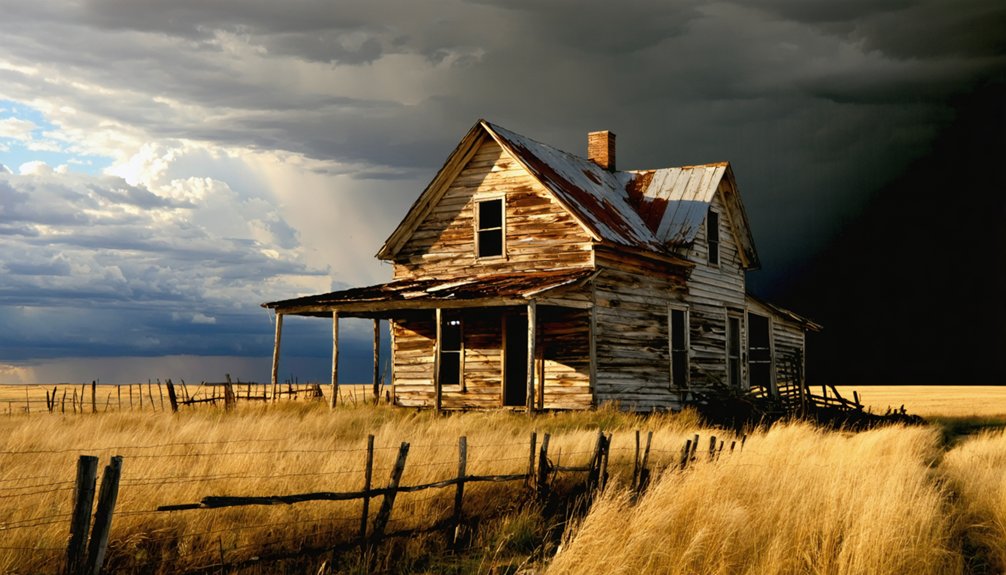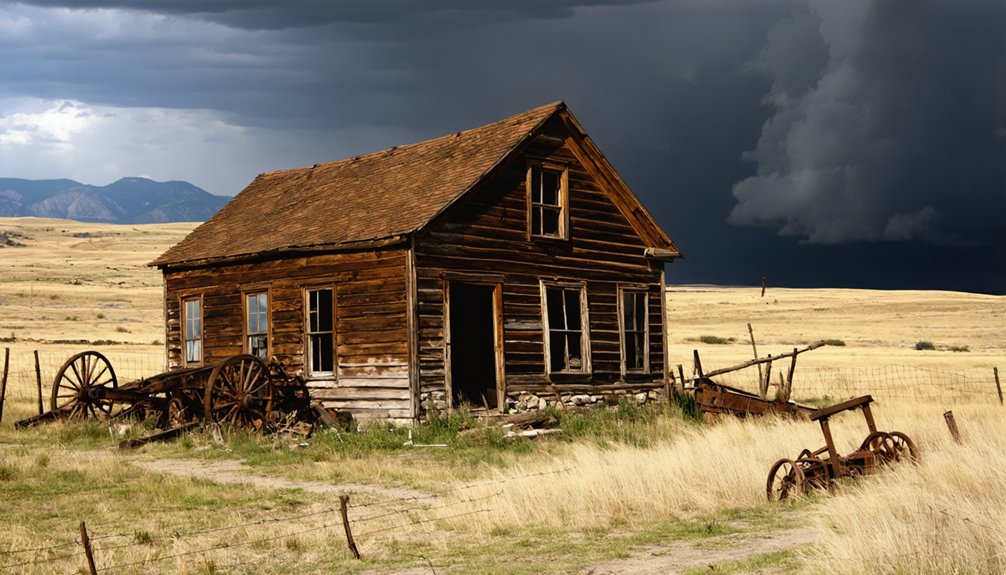
Planning a ghost town road trip to Flatiron, South Dakota means heading about 2 miles south of Lead into Lawrence County’s Black Hills, where a gold rush once built a thriving community around the Wasp No. 2 mine. Today, over 80% of its structures have collapsed into exhausted mine tunnels, leaving a hauntingly sunken landscape of exposed foundations and mining scars. Visit in late spring or fall for the best conditions, and there’s much more to uncover about this forgotten boomtown.
Key Takeaways
- Flatiron is located in Lawrence County, South Dakota, roughly 2 miles south of Lead, accessible via 2WD roads year-round except winter.
- Visit in late spring, summer, or fall for optimal road conditions, visibility, and a better interpretive experience of the site.
- Wear sturdy boots, carry detailed maps, a first aid kit, and a camera to safely navigate Flatiron’s unstable, uneven terrain.
- No standing structures remain; explore exposed foundations, mining scars, and depressions that reveal Flatiron’s gold-mining boom-and-bust history.
- Enhance your trip by visiting nearby sites like Lead, Kirk, Englewood, and Little Blue Mine for broader Black Hills mining context.
What Is Flatiron and Why Visit This Ghost Town?
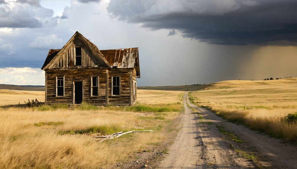
Tucked into the hillside terrain of Lawrence County, South Dakota, Flatiron is a ghost town that’s largely swallowed by the earth — more than 80% of its structures have sunk into collapsed mine tunnels below. Once known as Yellow Creek and later Flat Iron City, this former gold mining settlement sits about 2 miles south of Lead in the rugged Black Hills.
You won’t find museums or historical artifacts behind glass here. Instead, you’ll walk among exposed foundations, mining scars, and tailings that tell the story of a community that once boasted 30 buildings, a school, and a post office.
Local legends tied to the Wasp No. 2 gold mine add intrigue to the landscape. If you crave unfiltered history, Flatiron delivers raw, unpolished exploration.
How Flatiron’s Wasp No. 2 Gold Mine Built and Then Buried a Town
When you stand at Flatiron’s quiet hillside site, you’re looking at ground that gold once transformed into a thriving community. The Wasp No. 2 mine’s discovery in the 1890s sparked rapid growth.
Mine’s Golden Discovery Era
Few ghost towns carry an origin story as literal as Flatiron’s — a settlement that gold built and the earth eventually swallowed. When miners discovered the Wasp No. 2 gold mine in the 1890s, they unknowingly launched a community’s entire lifecycle.
Here’s what shaped Flatiron’s golden discovery era:
- Prospectors struck gold in Lawrence County’s Black Hills during an explosive regional mining boom
- Early mining techniques relied on rail-and-gravity milling systems unique to the hillside terrain
- The discovery rapidly attracted settlers, businesses, and railroad infrastructure
Ghost town preservation efforts today depend on understanding these foundational mining origins.
You’re fundamentally standing where ambition met geology when you visit. The Wasp No. 2 wasn’t just a mine — it was Flatiron’s heartbeat, pumping life into every building that once stood there.
Town Growth Through Mining
By 1915, the Wasp No. 2 gold mine had transformed a rough hillside claim into a legitimate town of roughly 30 buildings — complete with a school, post office, mercantile stores, and large mills humming with ore.
The town layout followed the land’s steep contours, with infrastructure built around the mine’s demands rather than comfort. You can picture mining equipment straining under full loads as winch-powered rail cars hauled freight up a sharp spur line connecting the site to the Chicago, Burlington & Quincy Railroad.
Every building served a purpose tied to extraction, processing, or supplying the workers who kept it running. But once the gold played out, that same single-minded focus left Flatiron with nothing to fall back on — and the town quietly collapsed into itself.
Collapse And Final Abandonment
Once the ore gave out, Flatiron didn’t just slow down — it fell apart, literally. The mines closed, residents left, and the earth reclaimed what humans built. Over 80% of the town has sunk into collapsed mine tunnels beneath the ground — a sobering reminder of how fragile boomtowns truly are.
What you’ll find today tells that story through absence:
- Building foundations slowly disappearing into caved-in shafts
- Mining scars and tailings scattered across the hillside
- No standing structures remain for historical preservation efforts to anchor
- Tourist access is still possible via 2WD roads, though little rewards the eye
You’ll need imagination here more than a guidebook. Flatiron doesn’t hand you its history — it makes you read the silence.
What’s Left to See at the Flatiron Ghost Town Site?
When you arrive at Flatiron, you won’t find standing structures — more than 80% of the town has collapsed into the caving mine tunnels below, leaving building foundations as your primary visual guide to the settlement’s former layout.
You can trace the outlines of what were once mills, a school, and mercantile stores through the surviving concrete and stone remnants scattered across the hillside.
Mining scars and tailings also mark the landscape, giving you tangible evidence of the Wasp No. 2 operation that once drove this community’s existence.
Surviving Building Foundations
Although Flatiron once bustled with nearly 30 buildings, you’ll find little more than scattered foundations today. Over 80% of the town has practically sunk into collapsed mine tunnels below, swallowing most historical artifacts forever. What remains rewards those willing to read the landscape carefully.
Look for these surviving clues as you explore:
- Stone foundation outlines marking where the school, mercantile stores, and mill buildings once stood
- Sunken depressions revealing hidden tunnel collapses beneath your feet
- Tailings and mining scars etched permanently into the hillside terrain
- Local legends pointing toward spots where structures disappeared overnight into the earth
You’re fundamentally piecing together a puzzle using ground-level evidence. Bring curiosity, watch your footing near depressions, and let the landscape tell its story.
Mining Scars And Tailings
Beyond the sunken foundations, mining scars and tailings spread across the hillside like an open wound that never quite healed. You’ll notice the landscape tells its own story here — scarred earth, displaced rock, and mineral-stained soil marking where the Wasp No. 2 mine once pushed its limits.
These tailings aren’t just debris. They’re historical artifacts that reveal the scale of extraction that built and ultimately broke this community. You can read the terrain like a map of ambition and collapse.
Don’t expect roped-off exhibits or guided tours. Preservation efforts here are minimal, which means you’re interpreting raw, unfiltered history on your own terms. That’s exactly the kind of unscripted freedom that makes ghost town exploration worth the drive.
How Did the Rail and Gravity Mill System Actually Work?
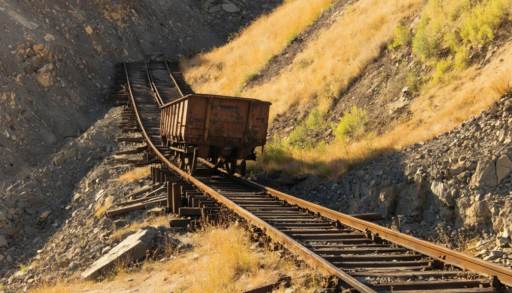
One of Flatiron’s most fascinating engineering features was its rail-and-gravity milling system, a clever setup that turned the town’s steep hillside terrain into a functional advantage. Rather than fighting the landscape, engineers worked with it, using gravity and railroad logistics to move materials efficiently.
Here’s how the system worked:
- Loaded ore cars descended the slope using gravity, requiring minimal energy
- Empty cars returned uphill via a winch-powered mechanism
- Mining machinery at the mill processed ore delivered directly by rail
- The Chicago, Burlington & Quincy Railroad connected the operation to broader markets
You can still read the hillside today like a blueprint. The slope itself tells the story of workers who refused to let rugged terrain slow production, turning geography into one of Flatiron’s greatest industrial assets.
How to Get to Flatiron, South Dakota by Road
Getting to Flatiron is straightforward, and you won’t need a four-wheel-drive vehicle to make the trip. Standard 2WD access makes this ghost town reachable for most travelers, giving you the freedom to explore on your own terms.
No four-wheel-drive required — standard 2WD gets you to Flatiron on your own terms.
You can approach the site from Kirk or Englewood, both offering scenic routes through Lawrence County’s Black Hills terrain. Flatiron sits roughly two miles south of Lead, so you’re never far from modern conveniences if you need them.
Once you arrive, don’t expect a preserved museum. Historical artifacts are scarce, and over 80% of the town has collapsed into caved mine tunnels below.
What you’ll find instead are foundations, mining scars, and local legends that breathe life into this forgotten landscape. Come ready to imagine.
When Should You Visit Flatiron?
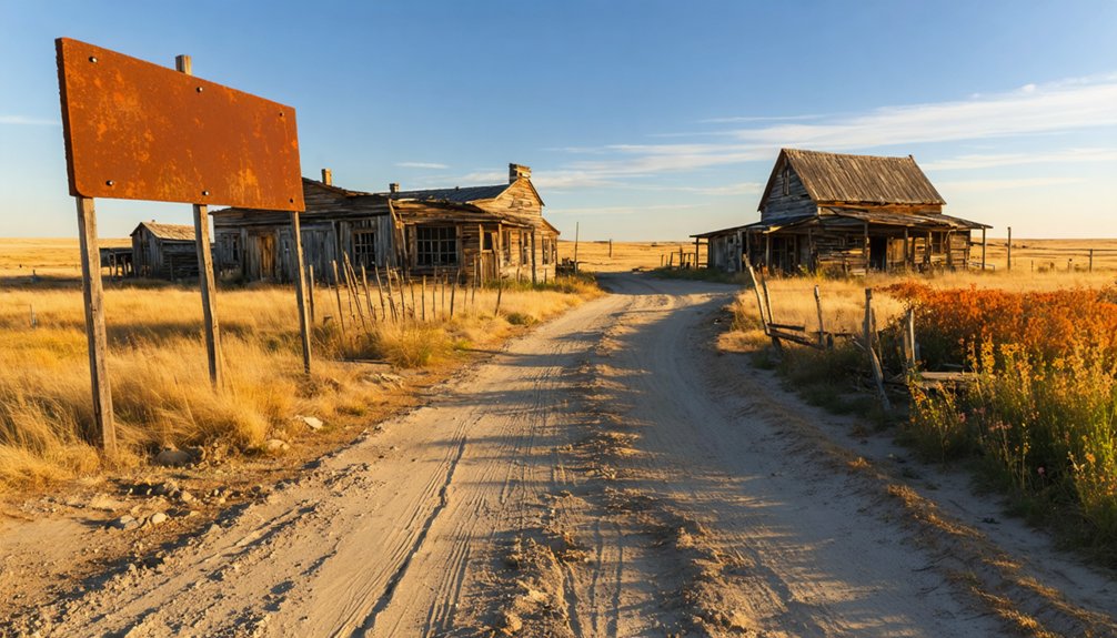
Knowing when to go matters just as much as knowing how to get there. Flatiron’s Black Hills setting means seasonal conditions directly shape your experience on the ground.
Choose your timing wisely:
- Late spring (May–June): Roads dry out, wildflowers emerge, and the landscape opens up beautifully
- Summer: Long daylight hours maximize exploration time, though heat can be intense by midday
- Fall (September–October): Cooler temperatures and golden foliage make local legends feel more vivid and atmospheric
- Winter: Snow buries remaining foundations, making site reading nearly impossible
Preservation efforts at sites like Flatiron remain minimal, so you’re largely reading the land yourself. Visiting during favorable conditions gives you the clearest picture of what once stood here.
Which Ghost Towns Near Flatiron Are Worth the Detour?
Since Flatiron sits deep in Black Hills country, you’re already positioned near some of South Dakota’s most rewarding ghost town detours. Lead, just two miles north, carries its own local legends tied to deep-rock gold extraction and industrial-scale mining infrastructure.
Flatiron’s Black Hills location puts Lead—two miles north, rich with gold-mining lore—within easy reach.
Kirk and Englewood, both accessible along your route to Flatiron, offer additional stops where geological features like exposed quartz veins and collapsed shafts tell the landscape’s story without a single sign.
The Little Blue Mine, located just north of Flatiron, adds another layer to the region’s extraction history. Each detour rewards curious travelers willing to read the terrain rather than rely on polished displays.
Together, these sites build a fuller picture of Black Hills boom-and-bust history that no single stop can capture alone.
What Should You Bring to Explore a Collapsed Mining Site?

Exploring a collapsed mining site like Flatiron demands preparation, because unstable ground, hidden shafts, and uneven terrain can turn a casual walk into a genuine hazard. Over 80% of this town has sunk into caving tunnels below, so you’ll want to move carefully and stay alert.
Pack smart before you arrive:
- Sturdy boots with ankle support for uneven, sinking ground
- A detailed map to navigate terrain where local legends place forgotten shafts
- A camera to document remaining foundations and historical artifacts responsibly
- A first aid kit for remote emergencies far from immediate help
You’re not just visiting ruins — you’re reading a landscape. Respecting the site keeps it accessible for every future explorer who values this freedom to roam.
Frequently Asked Questions
Was Flatiron Ever Officially Incorporated as a South Dakota Municipality?
The knowledge doesn’t confirm Flatiron’s official incorporation, but you’ll find its ghost town spirit alive through urban exploration and historic preservation efforts, where freedom-seekers like you can uncover its fascinating, forgotten mining past firsthand.
Are There Any Guided Tours Available at the Flatiron Ghost Town Site?
You’re on your own here — no guided tour options or visitor center amenities exist at Flatiron. You’ll roam freely, piecing together its gold-mining past from sunken foundations and scattered landscape clues at your own pace.
Is the Flatiron Site on Public or Privately Owned Land?
The knowledge doesn’t confirm Flatiron’s land ownership status, so you’ll want to research private land boundaries before visiting. Always verify land ownership details ahead of time to guarantee you’re exploring freely and legally!
Were Any Notable People Historically Associated With the Wasp No. 2 Mine?
You won’t find documented historical mining figures or notable ghost town residents tied specifically to the Wasp No. 2 mine in available records, so you’d need deeper archival research to uncover those personal stories.
Has Flatiron Ever Appeared in Documentaries or Ghost Town Television Programs?
No confirmed documentaries or ghost town television programs have spotlighted Flatiron’s “resting chapters,” but its haunted legends and eerie, sunken foundations make it a compelling candidate for future filming locations you’d love exploring.
References
- https://en.wikipedia.org/wiki/Flatiron
- https://www.ghosttowns.com/states/sd/flatiron.html
- https://kids.kiddle.co/Flatiron
- https://www.wikiwand.com/en/map/Flatiron
- https://mapcarta.com/N2961947878
- https://en.wikipedia.org/wiki/List_of_ghost_towns_in_South_Dakota
- https://en.wikipedia.org/wiki/Category:Ghost_towns_in_South_Dakota
- https://www.sdhspress.com/journal/south-dakota-history-2-2/some-black-hills-ghost-towns-and-their-origins/vol-02-no-2-some-black-hills-ghost-towns-and-their-origins.pdf