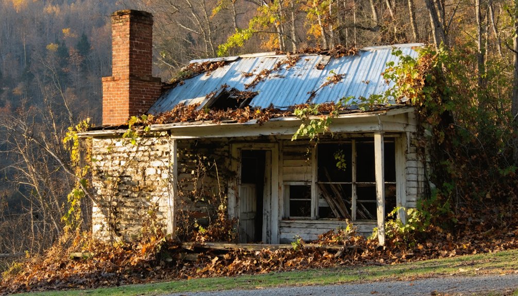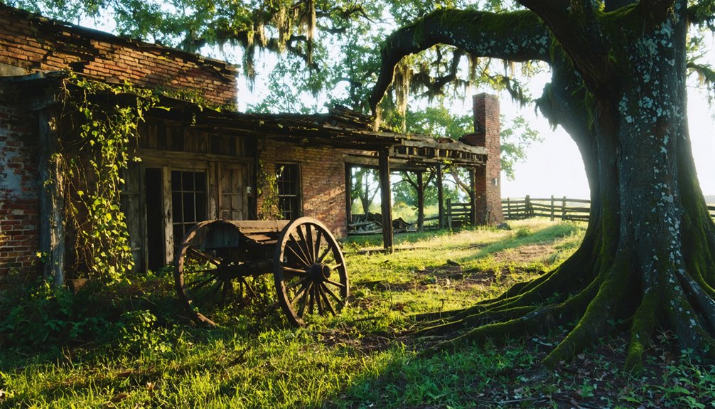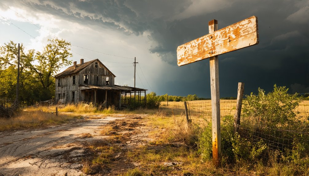
Four Gum Corner sits about 9 miles north of Palestine in St. Francis County, Arkansas, where open rice and soybean fields have replaced what was once a thriving timber settlement. You won’t find signage or ruins here, just quiet farmland and a crossroads that carries a vivid name. Standard 2WD vehicles handle the roads fine, and no permits are required. Stock up in Forrest City before heading out, and there’s much more to uncover about this forgotten community.
Key Takeaways
- Four Gum Corner is located in St. Francis County, Arkansas, roughly 9 miles north of Palestine, accessible via standard 2WD roads.
- No permits or seasonal restrictions apply, making the site accessible anytime; pack water and download offline maps before visiting.
- The unmarked farmland site offers no signage, so researching its history beforehand enhances the ghost town experience.
- Nearby ghost towns Caldwell and Stony Point can be combined into one regional road trip covering multiple abandoned communities.
- Forrest City is the nearest city for supplies, so stock up before exploring this remote, rural landscape.
Four Gum Corner, Arkansas: Ghost Town or Working Farmland?
When you pull up to Four Gum Corner in St. Francis County, Arkansas, you won’t find crumbling buildings or dramatic ruins. What you’ll see instead is open sky, flat farmland, and rows of soybeans and rice stretching toward the horizon.
At Four Gum Corner, there are no ruins — just open sky, flat farmland, and endless rows of soybeans and rice.
It’s a ghost town in the truest sense — the community is gone, but the land keeps working. That tension between historical preservation and what actually survived makes this place worth understanding.
Community resilience here didn’t mean keeping the town alive; it meant adapting after the sawmill closed in the 1930s and most residents moved on. A few scattered people still call the area home.
You’re fundamentally visiting a memory dressed in farmland — quiet, honest, and stripped of everything except its agricultural purpose.
How Four Gum Trees at a Crossroads Named a Community
When you pull up to Four Gum Corner, you’re actually standing at a crossroads, not a corner — and that small distinction matters.
Four sweet gum trees once marked that rural junction, giving the entire community its name and a sense of identity rooted in the land itself.
That timber-era legacy still echoes across the landscape, even as soybean and rice fields have long since replaced the hardwood forest those trees once symbolized.
Trees Named The Town
Four sweet gum trees once stood at a rural crossroads in St. Francis County, Arkansas, and locals simply named the community after them. That’s the kind of straightforward local legend that sticks — no historical architecture, no grand founding story, just four trees marking a junction where roads from Wheatley and Palestine once met.
The original layout was actually a T-junction, not a true crossroads. That shift didn’t happen until the late 1960s. By then, the timber community that had grown up around the site was already fading.
The sawmill had closed, residents had scattered, and the hardwood forest that once defined the landscape was giving way to open farmland.
You’re looking at a place where four trees carried more weight than any monument ever could.
A Crossroads, Not Corner
Despite what the name suggests, Four Gum Corner was never actually a corner — it was a crossroads, and technically not even that for most of its history. For decades, the junction connecting roads from Wheatley and Palestine formed a simple T-shape. It didn’t become a true crossroads until the late 1960s, long after the community had already peaked and declined.
You’ll find no urban development marking this spot today — no signage, no monument, nothing to announce its cultural heritage. What you’ll find is open farmland stretching in every direction.
The four sweet gum trees that once defined this intersection are long gone, yet their legacy survived in a name that still appears on maps. That’s a quiet kind of permanence worth driving out to experience.
Timber Community’s Lasting Legacy
Before the soybean and rice fields took over, this stretch of St. Francis County was dense hardwood timber country. A sawmill, two churches, and a general store once defined daily life here. You can still find traces of that era if you know where to look — local legends point to foundations and forgotten clearings scattered beyond the main road.
The community’s historical architecture reflected its working-class timber roots, built for function over permanence. When the sawmill closed in the 1930s, residents left, and the forest eventually gave way to open farmland.
Four gum trees once marked this crossroads, quietly naming an entire community. That detail alone makes Four Gum Corner worth the detour — a small place carrying a surprisingly vivid slice of Arkansas history.
The Sawmill That Built Four Gum Corner: and What Ended It
When the sawmill was running, Four Gum Corner had a pulse. Timber drove everything — the stores, the school, the churches, the families who settled deep in those Arkansas hardwoods. You can still feel the cultural significance of that era when you stand at the crossroads and imagine the noise, the activity, the life.
Then the sawmill closed in the 1930s. Families packed up and left, and the forest eventually gave way to soybean and rice fields. The historical preservation of this story exists mostly in memory now — no plaques, no markers, just open farmland stretching toward the horizon.
When you visit, you’re reading a landscape that tells the whole story. The silence itself is the monument to what once stood here.
What the Landscape Actually Looks Like Today
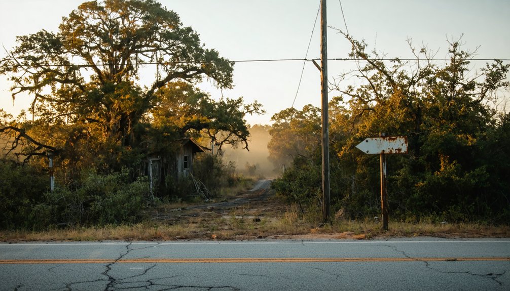
Standing at Four Gum Corner today, you’ll notice the land has completely reinvented itself. The dense hardwood forest that once fueled the sawmill and shaped local legends has given way to flat, open fields stretching toward the horizon. Soybeans and rice dominate where timber once stood.
That openness can feel disorienting when you layer in the historical anecdotes — two churches, a general store, a one-room schoolhouse tucked three miles deeper into the woods. None of that remains visible now.
You can drive in on 2WD roads without trouble, and the site sits roughly nine miles north of Palestine. A few scattered residents still live nearby.
The four sweet gum trees are long gone, but the crossroads itself remains your clearest connection to what once existed here.
What to Know Before You Make the Drive Out Here
Four Gum Corner doesn’t require much logistical planning, but a few details will keep the trip from turning into a frustrating detour. It sits roughly nine miles north of Palestine in St. Francis County, far removed from urban development and modern conveniences.
- Roads: All access routes are 2WD-friendly, so no off-road vehicle is necessary.
- Timing: You can visit anytime — no seasonal restrictions apply.
- Nearest city: Forrest City is your best bet for fuel and food before heading out.
- Expectations: This is open farmland now, not a preserved historic site — environmental preservation efforts haven’t touched this spot.
Pack water, download offline maps, and embrace the open road. The freedom here is real — just don’t expect signage pointing the way.
How to Reach Four Gum Corner From Palestine or Forrest City
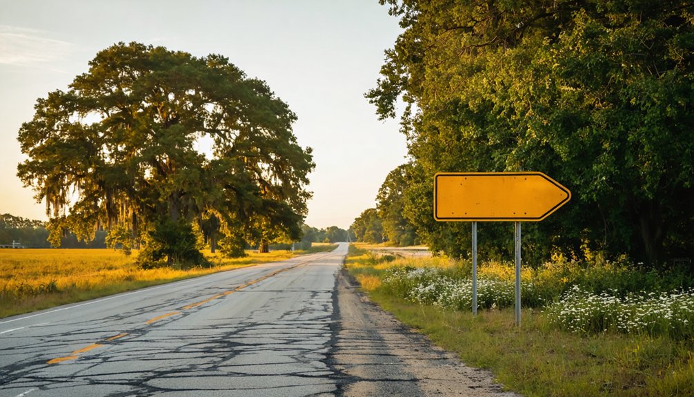
Getting there’s straightforward once you’ve sorted out your supplies in Forrest City or Palestine. From Palestine, head roughly 9 miles north and you’ll roll right into the crossroads that locals still quietly reference in conversations tied to local legends of a once-thriving timber community.
From Forrest City, Palestine serves as your natural midpoint before pushing north.
The roads are 2WD-friendly, so you don’t need a specialized rig. You’re driving through open soybean and rice fields now, which replaced the hardwood forest that originally defined this place.
That landscape shift is itself a lesson in historical preservation — or the absence of it. Keep your eyes open at the crossroads, because there’s no dramatic signage announcing where four gum trees once defined an entire community’s identity.
Other St. Francis County Ghost Towns on the Same Route
While you’re already steering St. Francis County’s back roads, don’t stop at Four Gum Corner alone. The region holds several forgotten communities worth exploring, each reflecting similar stories of timber decline and shifting land use.
- Caldwell – A small settlement that faded as agricultural fields replaced earlier economic activity.
- Stony Point – Once active, now absorbed into surrounding farmland with little historical preservation remaining.
- Wittsburg – A former river town whose infrastructure gradually disappeared over decades.
- Wheatley vicinity communities – Several unnamed crossroad stops near Wheatley share Four Gum Corner’s arc from timber economy to open fields.
Connecting these stops into one route gives you a fuller picture of how St. Francis County transformed from hardwood forests into the rice and soybean landscape you’ll drive through today.
Frequently Asked Questions
Did Four Gum Corner Ever Have Its Own Post Office?
The knowledge doesn’t confirm Four Gum Corner ever had its own post office. Its historical significance faded with community decline, leaving you to explore a crossroads where sawmill echoes and soybean fields tell the real story.
Are Any Original Buildings Still Standing at Four Gum Corner?
No confirmed original buildings remain standing at Four Gum Corner. You’ll find no historical architecture to photograph, but local legends about the vanished general store and churches still breathe life into this hauntingly open, farm-swept crossroads.
What Happened to the Two Churches That Once Served the Community?
Once vibrant centers of faith, the two churches didn’t survive community decline—you won’t find their historical architecture standing today. As the sawmill closed and residents left, these sacred gathering places faded into Four Gum Corner’s forgotten farmland.
Was Zier School the Only School Ever Serving Four Gum Corner?
You can’t confirm Zier School was the only one — community legends hint at other historical landmarks serving Four Gum Corner, but records show Zier’s one-room schoolhouse standing three miles deep in the woods until the 1950s.
Can Visitors Legally Access or Walk the Four Gum Corner Site?
Covering roughly 9 miles from Palestine, you can freely travel Four Gum Corner’s 2WD roads anytime. No strict visitor regulations or historical preservation barriers exist here — it’s open farmland, so you’ll explore it on your own terms.
References
- https://kids.kiddle.co/List_of_ghost_towns_in_Arkansas
- https://www.onlyinyourstate.com/experiences/arkansas/ar-ghost-towns
- https://www.thetravel.com/ghost-towns-in-arkansas/
- https://en.wikipedia.org/wiki/List_of_ghost_towns_in_Arkansas
- https://www.ghosttowns.com/states/ar/fourgumcorner.html
- https://metaldetectingtips.com/best-ghost-towns-in-arkansas/
- https://www.ghosttowns.com/states/ar/ar.html
- https://www.thetravel.com/deserted-and-abandoned-arkansas-towns/