Garrison, Kansas doesn’t exist above water anymore — it’s been submerged beneath Tuttle Creek Reservoir since 1962. To visit what’s left, you’ll need to time your trip for fall, when lower water levels expose remnants of the original townsite. The Carnahan-Garrison Cemetery remains your most tangible connection to this lost community. Plan your base camp in Manhattan or Westmoreland, pack sturdy shoes and a printed map, and keep exploring — there’s much more to uncover.
Key Takeaways
- Garrison, Kansas, founded in 1879, was permanently submerged beneath Tuttle Creek Reservoir by July 1962 following dam construction.
- The Carnahan-Garrison Cemetery is the only surviving landmark, offering a tangible connection to the lost town.
- Fall is the ideal season to visit, as lower water levels expose submerged remnants of the original townsite.
- Use Westmoreland (15 miles east) and Olsburg (6 miles away) as navigational guides when planning your route.
- Nearby ghost towns like Randolph, Cleburne, and Dunlap make excellent additions to a multi-stop regional road trip.
What Was Garrison, Kansas?
Once a quiet village nestled along the shores of the Big Blue River, Garrison, Kansas was a small but thriving community in the Blue River Valley of Pottawatomie County, roughly 15 miles west of Westmoreland and 6 miles from Olsburg.
Founded in 1879 and named after C. K. Garrison, president of the Missouri Pacific Railroad, the town grew steadily, reaching a population of 160 by 1910.
Settlers arrived mostly from Indiana, Illinois, and Ohio, building homes, businesses, and a post office that opened in 1880.
Today, Garrison lies beneath Tuttle Creek Reservoir, submerged since 1962.
Historical preservation efforts through plat maps, oral interviews, and letters keep community memories alive, letting you explore this lost town’s story long before you ever reach its shores.
How Tuttle Creek Reservoir Swallowed the Town
When you look out over Tuttle Creek Reservoir today, you’re staring at what was once a living, breathing Kansas community.
Construction of Tuttle Creek Dam began in 1959, sealing Garrison’s fate and forcing residents to abandon everything they’d built over eight decades.
Dam Construction Begins
By 1959, the federal government had set its sights on the Big Blue River Valley, and Garrison’s fate was sealed.
Engineers cited dam safety and floodplain ecology as justification for the massive Tuttle Creek Dam project, displacing communities that had thrived for generations.
Construction began that same year, forcing residents to abandon homes, businesses, and memories built over eight decades.
You can imagine the weight of that loss — watching bulldozers clear streets your grandparents once walked.
The government’s vision prioritized flood control over the freedoms of those rooted in the valley.
Families packed up and left, the post office closed on December 31, 1959, and by July 1962, the waters had completely swallowed what remained of Garrison beneath Tuttle Creek Reservoir.
Town Fully Submerged
The rising waters of Tuttle Creek Reservoir didn’t rush in overnight — they crept forward slowly, swallowing Garrison street by street until July 1962, when the last traces of the town vanished beneath the surface. The flooding impacts were permanent and total.
What once held homes, railroads, and community life became part of a growing reservoir ecology. As you research Garrison’s story, consider what disappeared beneath those waters:
- The railroad tracks running down Main Street
- The money order post office
- Homes built by families from Indiana, Illinois, and Ohio
- Decades of Blue River Valley community life
You won’t find ruins to walk through today — only water above and sediment below where Garrison once stood freely.
Finding What’s Left of Garrison Today
If you’re searching for physical traces of Garrison, the Carnahan-Garrison Cemetery is your best starting point, standing as the most tangible reminder of a town that once bustled along the Big Blue River.
Most of the original townsite lies silently beneath Tuttle Creek Reservoir, visible only when drought drops the water level enough to hint at what’s submerged.
Use nearby Westmoreland and Olsburg as navigational anchors when planning your visit, since Garrison itself no longer appears on modern maps.
Carnahan-Garrison Cemetery Visit
Once Garrison vanished beneath Tuttle Creek Reservoir in 1962, the Carnahan-Garrison cemetery became the town’s only surviving landmark you can actually visit. It’s a quiet, grounding stop where history feels tangible despite the environmental impact that erased everything else.
When you visit, keep these four things in mind:
- Bring water and wear sturdy shoes — the terrain stays uneven
- Treat headstones as historical artifacts — photograph, don’t touch
- Note the surnames reflecting early Indiana, Illinois, and Ohio settlers
- Check water levels seasonally, as reservoir fluctuations affect site access
You’re standing on ground that survived federal demolition and decades of submersion. The cemetery doesn’t offer dramatic ruins, but it delivers something rarer — a direct, unfiltered connection to a community the government chose to erase.
Reservoir Submerged Townsite
Beneath Tuttle Creek Reservoir’s surface lies what used to be Garrison’s Main Street, its railroad corridor, and the storefronts that once served a population of 160 people. The Leavenworth, Kansas, and Western Railroad once ran directly down that main corridor, making Garrison’s town architecture and railroad history inseparable.
By July 1962, the reservoir had completely swallowed every remnant of that built environment.
You won’t find exposed foundations or visible ruins here. What you’re standing near is fundamentally an underwater ghost town, sealed away since the dam’s completion. The water level occasionally drops during dry seasons, briefly hinting at the submerged landscape below.
For road trippers drawn to lost places, that invisible history beneath the reservoir’s calm surface carries its own powerful, unspoken weight.
Nearby Reference Points
Garrison’s most tangible anchor today is the Carnahan-Garrison cemetery, which survived the flooding and remains the clearest physical connection to the town that once stood here. Use these nearby reference points to frame your visit:
- Westmoreland — roughly 15 miles east, offering local legends and historical artifacts tied to Pottawatomie County’s past.
- Olsburg — just 6 miles away, a close landmark for orienting yourself near the original townsite.
- Tuttle Creek Reservoir — the water above Garrison’s streets tells its own story.
- Tuttle Creek Dam — walk the structure and visualize what federal construction erased below.
These stops give your road trip real geographic grounding. You’re not chasing ruins here — you’re reading a landscape that swallowed an entire community whole.
The Carnahan-Garrison Cemetery: What You Can Still See
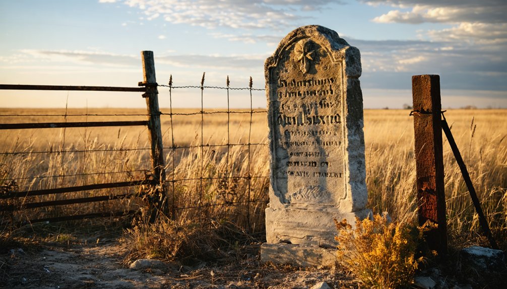
Where do you go when a town has vanished beneath a reservoir? You head straight to the Carnahan-Garrison Cemetery, the most tangible connection left to this lost community. It’s the only landmark that survived when Tuttle Creek Reservoir swallowed Garrison in 1962.
Standing here, you’re walking ground that predates the town itself. Cemetery restoration efforts have kept the site accessible, giving visitors a rare physical anchor to Garrison’s past. Unlike historical artifacts locked away in archives, these headstones remain out in the open air, readable and real.
Bring a camera, wear sturdy shoes, and take your time reading the names. Each marker represents a family who built something lasting in the Blue River Valley — something worth driving out to remember.
Best Time of Year to Visit Garrison and Tuttle Creek
Once you’ve paid your respects at the Carnahan-Garrison Cemetery, timing your visit well makes the difference between a rewarding stop and a frustrating one. Tuttle Creek Reservoir‘s water levels shift seasonally, affecting visibility and access near the submerged townsite.
Timing your visit to Carnahan-Garrison Cemetery matters — seasonal water levels shape what history you’ll actually find.
- Spring (April–May): Wildflowers frame the cemetery, but rising water limits shoreline exploration.
- Summer (June–August): Long daylight hours maximize your time, though heat and crowds increase.
- Fall (September–October): Cooler temps and lower reservoir levels sometimes expose remnants, strengthening your connection to historical preservation efforts.
- Winter (November–March): Sparse vegetation reveals landscape contours, though muddy roads can restrict freedom of movement.
Understanding the environmental impact of Tuttle Creek Dam helps you appreciate why seasonal planning matters here — nature now controls access to what history once built.
What to Bring for Submerged Sites and Rural Kansas Cemeteries
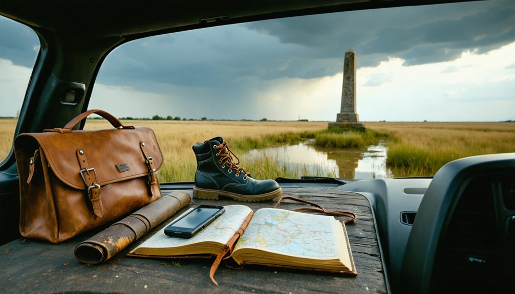
Visiting a submerged ghost town and a rural Kansas cemetery demands preparation that goes beyond a typical road trip checklist. Pack water shoes and a personal flotation device if you’re exploring Tuttle Creek’s shoreline — river safety isn’t optional in unpredictable reservoir conditions.
Bring sunscreen, insect repellent, and sturdy boots for walking uneven ground near the Carnahan-Garrison cemetery. Carry water, snacks, and a fully charged phone since services thin out fast in Pottawatomie County’s rural stretches.
A printed map helps when cell signals drop. At the cemetery, practice basic cemetery etiquette — stay on established paths, don’t disturb markers, and keep noise respectful.
A camera, field notebook, and curiosity round out your kit for connecting with Garrison’s quietly preserved history.
Where to Stay When Exploring Garrison and Pottawatomie County
After you’ve packed your gear and mapped the Carnahan-Garrison cemetery on your route, the next question is where you’ll sleep. Pottawatomie County keeps your options practical and your wallet intact.
- Westmoreland – The closest town base, roughly 15–20 miles east, offers quiet lodging near local legends and small-town diners.
- Manhattan, Kansas – About 20 miles south, it provides hotels, restaurants, and access to Tuttle Creek Reservoir’s visitor resources.
- Camping at Tuttle Creek State Park – Sleep directly above the submerged townsite and wake up surrounded by historical artifacts and reservoir history.
- Olsburg area rentals – Just 6 miles from Garrison’s original location, making early-morning cemetery visits effortless.
Choose your base strategically so you maximize exploration time and minimize driving.
Lost Kansas Towns That Pair Well With a Garrison Road Trip
Garrison doesn’t have to stand alone on your itinerary—Pottawatomie County and the surrounding region hold several other erased communities that round out a compelling multi-stop road trip. Westmoreland and Olsburg serve as natural anchors, offering context for how the Blue River Valley once thrived before federal dam construction reshaped everything.
Dig into historical preservation efforts at local archives, where plat maps and oral histories reveal communities that vanished just as quietly as Garrison did. Local legends tied to railroad expansion and river settlement add texture to each stop, turning a simple drive into something genuinely meaningful.
You’re not just passing through forgotten geography—you’re reconstructing a landscape that federal policy and rising water permanently erased. That freedom to explore and interpret history on your own terms makes the route unforgettable.
Other Reservoir Ghost Towns Worth Adding to Your Route
Kansas reservoirs swallowed more than just Garrison when federal dam projects reshaped the region—communities across the state share the same fate, buried under water that now draws fishermen and boaters with no idea what’s underneath. Expand your route by targeting these submerged towns:
- Randolph – flooded by Tuttle Creek, it still carries local legends about structures visible during drought years.
- Dunlap – lost to Milford Reservoir, with historical artifacts documented before submersion.
- Cleburne – another Tuttle Creek casualty tied to river valley farming culture.
- Wakefield – relocated rather than fully abandoned, giving you a living ghost town comparison.
Each stop deepens your understanding of how federal water projects permanently erased free-standing communities that families built from nothing.
Frequently Asked Questions
Was Garrison Residents Compensated When the Government Took Their Homes?
The knowledge doesn’t confirm specifics, but during historical land acquisition for Tuttle Creek Dam, the government typically compensated residents. You’d find that eminent domain laws required resident compensation, though many families still felt forced from their beloved homes.
Can You See Garrison’s Ruins When Tuttle Creek Reservoir Levels Drop?
Like a ghost rising from the deep, when reservoir levels drop, you might glimpse ruins visibility improve — but Garrison’s remains stay largely buried, leaving the Carnahan-Garrison cemetery as your clearest, most tangible connection to this lost town.
Did Any Garrison Buildings Get Relocated Before the Flooding Began?
The records don’t confirm relocated buildings before flooding began. You’ll find that most abandoned structures and historic landmarks simply vanished beneath Tuttle Creek Reservoir, leaving only the Carnahan-Garrison cemetery as your tangible connection to this lost community.
How Many Families Were Displaced When Garrison Was Destroyed in 1959?
“Home is where the heart is” — the records don’t specify how many families you’d find displaced, but abandoned structures and local legends suggest an entire tight-knit community vanished beneath Tuttle Creek’s rising waters in 1959.
Are There Guided Tours Specifically Focused on Submerged Kansas Ghost Towns?
You won’t find many guided tours focused on submerged Kansas ghost towns, but you can explore abandoned structures and ghost town history through local historical societies, reservoir recreation areas, and self-guided routes near Tuttle Creek Reservoir.
References
- https://legendsofkansas.com/garrison-kansas/
- https://lostkansas.ccrsdigitalprojects.com/garrison-pottawatomie-county
- https://legendsofkansas.com/pottawatomie-county-extinct-towns/
- https://www.youtube.com/watch?v=dy7nLwjHkbY
- https://krex.k-state.edu/server/api/core/bitstreams/0c11879d-81d9-4de4-8a51-bafc0f936649/content
- https://legendsofkansas.com/every-place-kansas-g/
- https://en.wikipedia.org/wiki/List_of_ghost_towns_in_Kansas
- https://www.ksgenweb.org/archives/1912/g/garrison.html
- https://legendsofkansas.com/kansas-ghost-town-list/