Planning a road trip to La Plata, Utah means heading into Cache County’s Bear River Mountains, where a silver rush exploded in 1891 and collapsed by 1894. You’ll need a high-clearance vehicle, a weather check, and landowner permission before you go — this site sits on private land. Weathered cabins and rusted mining machinery still mark the spot where 1,500 residents once lived. There’s far more to know before you hit the road.
Key Takeaways
- La Plata sits in Cache County’s Bear River Mountains, near Avon and Logan, Utah, close to the east fork of Little Bear River.
- The site is on private land, so contact landowners beforehand to secure legal access and avoid trespassing consequences.
- Bring a high-clearance vehicle, as routes involve narrow mountain dirt roads requiring careful preparation.
- Visit during summer or early fall for optimal road conditions, avoiding spring runoff and winter snow closures.
- Weathered cabins, scattered mining machinery, and collapsed shafts remain, offering a preserved glimpse into the 1890s silver rush.
Why La Plata’s 1891 Silver Rush Burned So Bright: and So Fast
When a sheepherder stumbled onto silver ore in the Bear River Mountains in July 1891, he didn’t just find a promising vein — he lit a fuse. Assays confirmed ore carrying 400 ounces of silver per ton and 45% lead. Word spread fast, and within weeks, over 1,000 miners had flooded the canyon.
You can picture it: tents replacing trees, mining technology rattling through mountain silence, and 60–70 buildings rising almost overnight. La Plata joined the ranks of boomtown legends — a full camp with stores, saloons, a bank, and a post office carved from raw wilderness.
But the Panic of 1893 gutted silver prices nationally, and La Plata couldn’t survive the blow. By 1894, the rush was fundamentally over.
How to Find the La Plata Ghost Town Site in Cache County
Finding La Plata isn’t like punching a destination into Google Maps and cruising to a parking lot. This ghost town sits in Cache County’s Bear River Mountains, tucked near the east fork of the Little Bear River, south of Avon and Logan near Paradise, Utah. The terrain demands mountain-road preparation and a flexible mindset.
Before you go, study historical maps to orient yourself — the old mining district isn’t formally marked. Connecting with local guides familiar with the region can save you serious time and frustration. The site sits on private land, so you’ll need to confirm access before arrival.
Think of this less as a scenic drive and more as deliberate exploration. Come prepared, respect boundaries, and you’ll experience a genuinely raw slice of Utah’s silver-rush past.
What Private Land Access Means for Visiting La Plata Today
Once you’ve sorted out how to reach the La Plata site, there’s another layer you can’t skip — the land itself is privately owned, and that changes everything about how you approach a visit.
Land ownership here means you can’t simply roll up and wander the old cabins or poke around the mining shafts without consequences. You’ll need to secure access permissions before you ever leave home.
That means tracking down the current landowner, making contact, and getting clear approval. Don’t assume silence equals permission.
Trespassing on private property isn’t the kind of freedom worth chasing — it puts your trip at legal risk and damages goodwill for future visitors.
Do the groundwork early, confirm your access, and you’ll explore La Plata on the right terms.
What’s Still Standing at the La Plata Mine
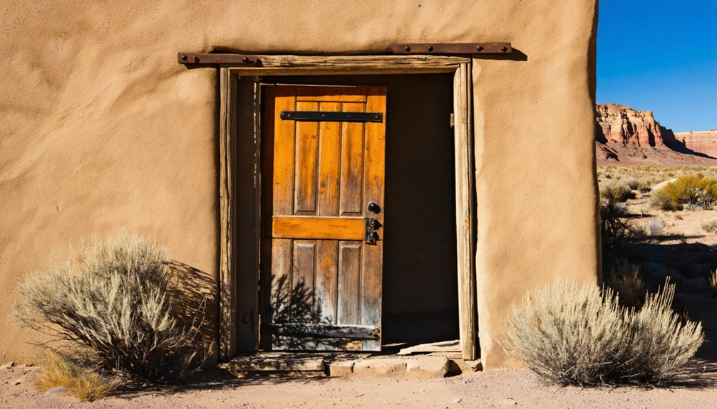
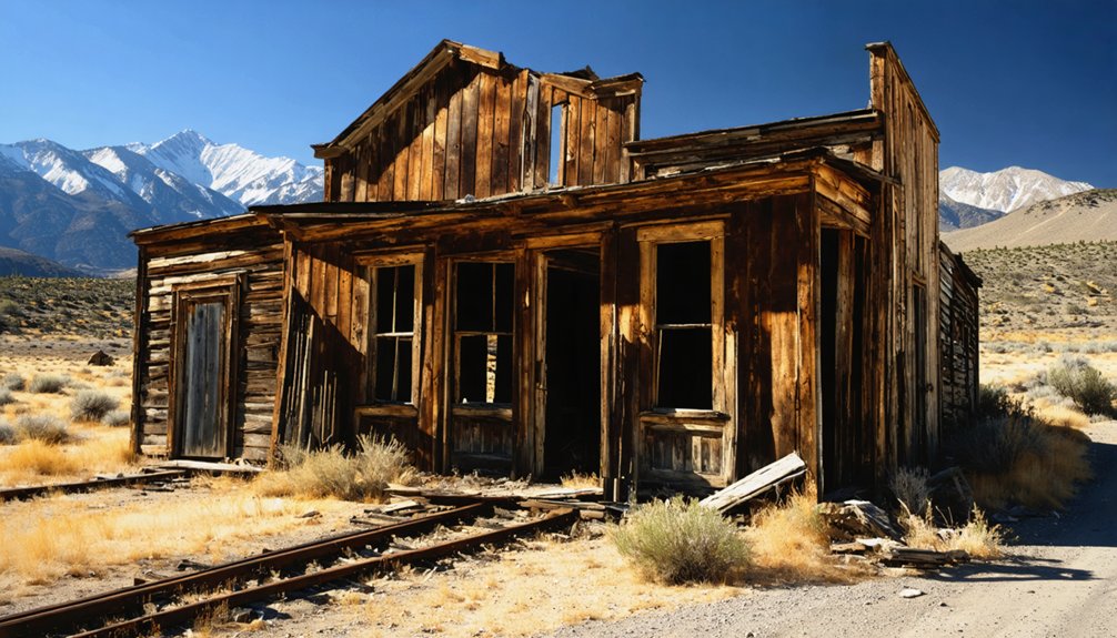
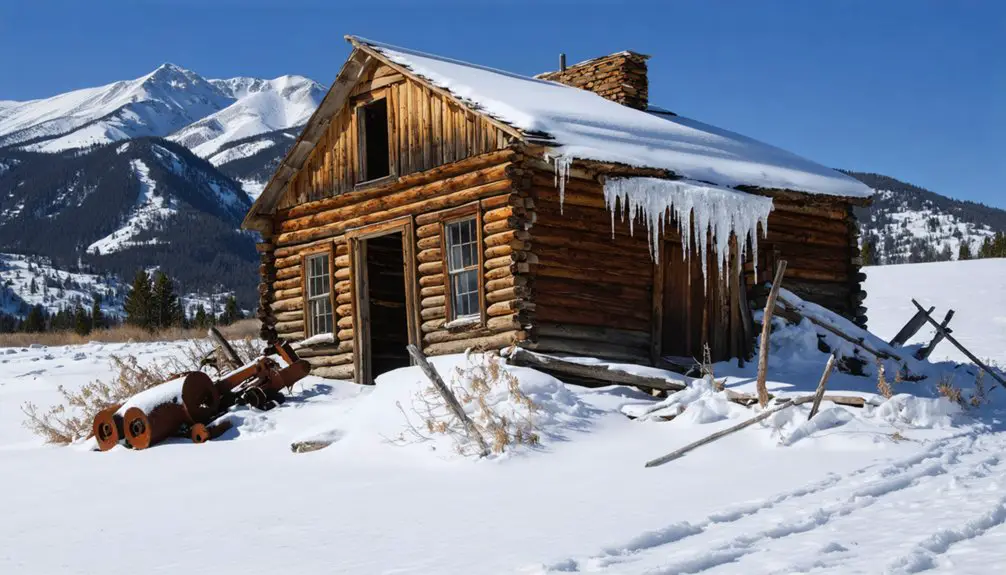
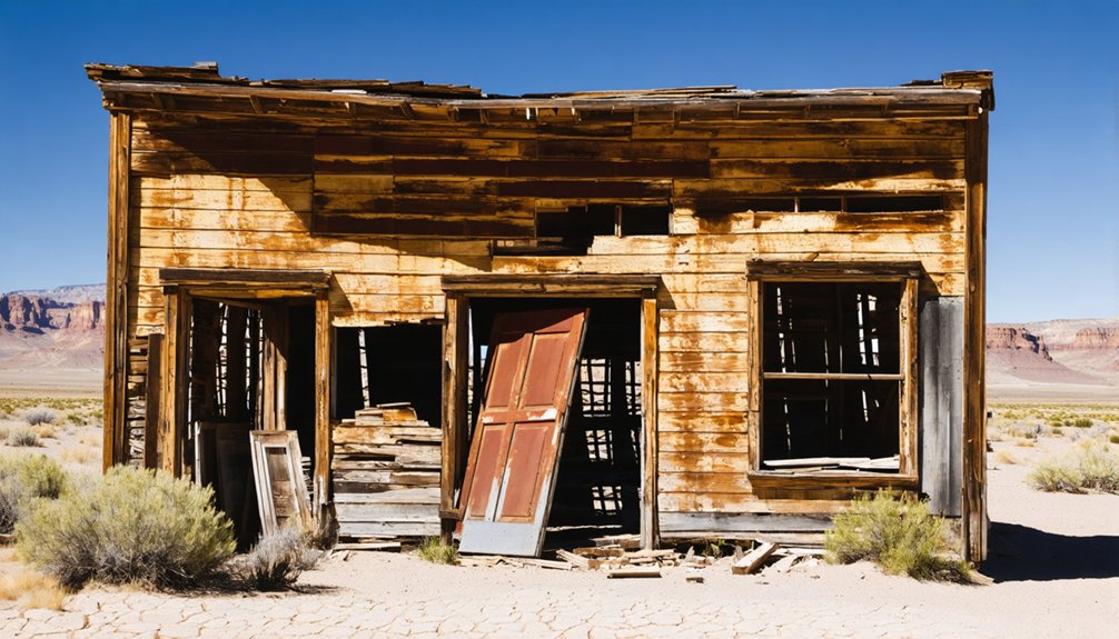
Though La Plata never grew into a lasting town, it left behind enough physical evidence to make the site worth the effort. You’ll find a few weathered cabins still standing along the hillsides, quiet reminders of the 1,500 people who once crowded this canyon.
A few weathered cabins still stand where 1,500 people once crowded this canyon.
Scattered mining machinery hints at the techniques miners used to extract silver and lead ore during the early 1890s boom. Collapsing shafts mark where those efforts went deepest into the mountain.
Preservation challenges are real here. The remote location and private ownership have actually limited outside disturbance, keeping what remains relatively intact. But time and weather continue doing their work.
What you see today won’t last forever, which makes visiting feel less like a tourist stop and more like witnessing history before it disappears entirely.
Road and Weather Conditions on the Route to La Plata
Getting to La Plata means steering mountain roads through Cache County’s Bear River Mountains, and the route demands more preparation than a typical highway drive. You’re heading into remote terrain south of Avon and Logan, where narrow dirt roads can shift quickly from manageable to impassable depending on conditions.
Snow arrives early and lingers late at these elevations, so summer and early fall give you the best window. Spring runoff turns dirt roads soft, and a high-clearance vehicle isn’t optional here — it’s practical necessity. Check weather forecasts before you leave.
The reward for that effort is real. You’ll reach a site carrying genuine historical significance, where surviving mining equipment and collapsing shafts tell a story that paved roads simply can’t deliver. Come prepared, and you’ll own the experience.
Frequently Asked Questions
Is La Plata Ghost Town Listed on Any Official Historic Registers?
We don’t have confirmed details on La Plata’s historic preservation status or official register listings. You’ll want to check local Cache County records and visitor guidelines before exploring this obscure, privately owned ghost town site.
Are There Guided Tours Available Near the La Plata Ghost Town Site?
With 1,500 miners once flooding this remote canyon, guided tour options don’t formally exist here. You’ll explore independently, but nearby historical sites in Cache County can enrich your adventurous, self-directed ghost town road trip experience.
What Other Ghost Towns Are Located Near La Plata in Cache County?
The knowledge doesn’t highlight specific neighboring ghost towns, but Cache County’s Bear River Mountains hold rich mining history. You’ll uncover sites tied to historic preservation where silver-era communities once thrived, making your exploration deeply rewarding.
Can Metal Detecting or Artifact Collecting Be Done at La Plata?
Before you grab your detector, know this: metal detecting regulations and artifact collecting rules apply here. Since it’s private land, you’ll need permission first — trespassing could cost you your freedom and finds.
Are There Camping Options Close to the La Plata Ghost Town Area?
You’ll find campsite options near La Plata in the Bear River Mountains region. Pack your camping gear and explore Cache County’s remote forest areas, where you can set up camp and embrace true mountain freedom.
References
- https://en.wikipedia.org/wiki/La_Plata
- https://www.ghosttowns.com/states/ut/laplata.html
- https://www.youtube.com/watch?v=IchNbtN4s5E
- https://digitalcommons.usu.edu/history_facpub/15/
- https://mysteryofutahhistory.blogspot.com/2015/09/1891-second-la-plata.html
- https://forgottennevada.org/sites/laplata.html
- https://onlineutah.us/laplata_history.shtml
- https://en.wikipedia.org/wiki/List_of_ghost_towns_in_Utah
- https://travelnevada.com/nevada-magazine/odyssey-of-a-ghost-town-explorer-part-7/
- https://travelnevada.com/nevada-magazine/ghostly-social-distancing-nevada-style/