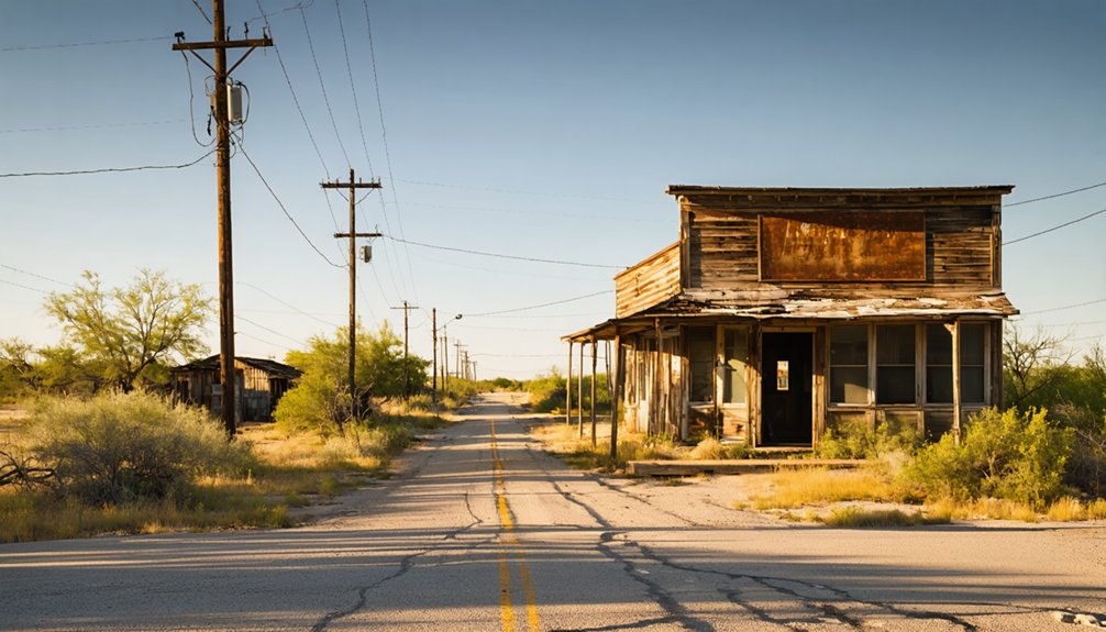
Planning a ghost town road trip to Plata, Texas means trading comfort for raw history. You’ll follow Farm Road 169 into Presidio County, where an 1880s silver rush flared and died before most maps caught up. What’s left are ruins, desert silence, and the ghost of reckless ambition. Visit in fall or winter for bearable temperatures. If you’re ready to plan every detail, everything you need is just ahead.
Key Takeaways
- Plata, Texas, is a remote ghost town in Presidio County, best explored in fall, winter, or spring to avoid extreme summer heat.
- Farm Road 169 is the only access route, requiring a high-clearance vehicle due to unpaved segments that worsen after rainfall.
- Pack at least one gallon of water per person daily, as no reliable water sources exist near the site.
- Ruins include mine remnants, foundations, and a stamp mill from Plata’s brief 1880s silver boom and ranching era.
- Watch for rattlesnakes and scorpions, test unstable structures carefully, and avoid removing artifacts to respect the site’s preservation.
What Makes Plata, Texas Worth the Drive
Tucked away in the arid expanse of Presidio County, Plata, Texas pulls you in with the quiet gravity of a place that history forgot but never quite erased. Once a ranching and mining hub along Alamito Creek, it carried real economic weight before fading into silence before the 1870s.
You’ll find no crowds here, no admission fees, no curated experience — just raw, open terrain and the cultural significance of a community that once breathed. That freedom is exactly what makes the drive worthwhile.
Historical preservation isn’t always about restored buildings; sometimes it’s about standing where something happened and feeling the weight of it. Plata offers that unfiltered encounter with the past, and for the road-tripping wanderer, that’s more than enough reason to turn down Farm Road 169.
How Plata Went From Ranching Hub to Ghost Town
When you roll into Plata’s dusty remains, you’re standing on land where 1880s ranchers built a thriving community along Alamito Creek, convinced they’d found their future.
Silver discoveries sparked a brief mining rush, bringing stamp mills and four active mines that promised lasting prosperity.
But the ore ran thin, the ranches couldn’t hold, and Plata quietly emptied out — leaving nothing behind but silence and sun-bleached history.
Ranching Roots Take Hold
Before the silence settled over Plata, cattle ruled this stretch of Presidio County. In the 1880s, ranchers carved out a life along Alamito Creek, building a community around grit, land, and livestock. That ranching history shaped everything here — the roads, the economy, the identity.
You can almost feel the agricultural legacy when you stand on this arid plain. Three things defined early Plata:
- Open range grazing along Alamito Creek’s fertile corridor
- Family-run operations that traded goods and built community ties
- Unpaved routes connecting ranchers to wider Presidio County markets
This wasn’t a town born from gold rush fever. It grew slowly, organically, from people who chose hard land and harder work — the kind of freedom that demands everything you’ve got.
Mining Boom and Bust
Silver changed everything. When miners struck ore near Alamito Creek, Plata transformed overnight from a quiet ranching hub into a boomtown buzzing with ambition. Four mines carved into the limestone, and a stamp mill hammered day and night, processing dreams into currency.
But silver’s promise rarely keeps. By 1867, the post office had closed, and folks were already drifting elsewhere. The bust hit harder than the boom ever lifted.
What’s left today belongs to historical preservation efforts and local folklore whispered among Presidio County old-timers. You’ll find no crowds here, no gift shops — just wind-scoured ruins and a silence that tells you exactly what unchecked ambition costs.
Drive Farm Road 169 and let Plata speak for itself. It will.
Abandonment and Decline
Once the ore dried up, Plata had no reason left to exist. The ranching community that briefly thrived here couldn’t survive without economic momentum. Watch how quickly a town disappears when three things collapse simultaneously:
- Mining operations ceased, leaving the stamp mill silent and four mines abandoned.
- The post office closed in 1867, severing Plata’s last institutional lifeline.
- Residents scattered, taking their livelihoods toward more promising horizons.
What’s left carries enormous cultural significance — a quiet testament to ambition meeting harsh desert reality. You’re walking ground where entire lives unfolded and vanished within decades.
Historical preservation efforts remind us that Plata’s story deserves remembrance, not erasure. The freedom you’re chasing on this road trip? Plata’s former residents chased the same thing — and the desert swallowed them whole.
What You’ll Actually See When You Arrive
Arriving at Plata, you’ll find a landscape that speaks louder than any standing structure — an arid Presidio County plain bisected by Alamito Creek, where sparse desert shrubs push through sandy loam soil and limestone formations jut from the earth like half-buried memories.
What remains carries real cultural significance: scattered ruins marking where ranchers once built lives, where four mines operated, and where a single stamp mill processed silver-bearing ore. You won’t find interpretive signs or fenced exhibits — historical preservation here is raw and unmediated.
The silence itself becomes the exhibit. Wind moves through abandoned foundations, and the creek still traces its ancient path regardless of human presence. This is freedom distilled — a place that demands nothing from you except honest attention.
Best Time of Year to Visit Plata
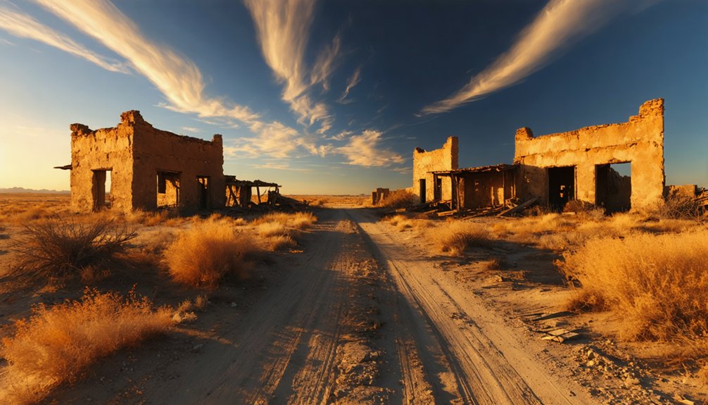
What you see when you arrive at Plata depends heavily on when you show up. The high desert doesn’t forgive poor timing.
The high desert doesn’t forgive poor timing — Plata reveals itself only to those who arrive on its terms.
- Fall (October–November): Cooler temps make the unpaved stretch of Farm Road 169 manageable, and desert flora shows surprising resilience after summer rains.
- Winter (December–February): Crisp, clear skies sharpen the limestone ruins against the horizon — solitude runs deep out here.
- Spring (March–April): Wildlife sightings peak as Alamito Creek draws desert creatures into the open, and you’ll share the land with hawks, roadrunners, and the occasional mule deer.
Avoid summer entirely. Triple-digit heat turns Presidio County into an unforgiving furnace.
Come when the land breathes easier — that’s when Plata reveals itself most honestly.
Getting to Plata on Farm Road 169
Farm Road 169 is your sole lifeline into Plata, threading through Presidio County’s stark, sun-baked terrain where the ghosts of an 1880s ranching community still seem to linger.
You’ll hit unpaved segments that demand a capable vehicle and a patient hand on the wheel, so don’t underestimate the road’s rough stretches.
Keep your eyes open along the way for Alamito Creek and the turnoff toward Casa Piedra, landmarks that orient you in an otherwise vast and humbling landscape.
Farm Road 169 Route
To reach Plata, you’ll follow Farm Road 169, a lonely stretch of unpaved road cutting through Presidio County‘s arid landscape — the same rugged terrain that once drew ranchers and silver miners to this remote corner of Texas.
This route rewards those chasing historical preservation and local legends baked into the West Texas dust. Before you roll out, keep these essentials in mind:
- Check road conditions — unpaved segments turn treacherous after rainfall
- Fuel up beforehand — services disappear fast once you leave the main highway
- Navigate toward Casa Piedra — it serves as your landmark along the way
The road feels deliberately forgotten, which is exactly the point. You’re not just driving — you’re tracing the ghost of a community that silver once built.
Once the pavement ends, you’re driving on the same raw earth that silver miners and ranchers crossed more than a century ago — and Farm Road 169 doesn’t let you forget it. The road narrows, the dust rises, and suddenly the Chihuahuan Desert surrounds you completely.
Scan the sparse desert flora — creosote, lechuguilla, desert scrub — pressing close against the caliche track. Wildlife sightings happen here without warning: mule deer, roadrunners, the occasional hawk riding thermals above Alamito Creek’s corridor.
Keep your speed low and your eyes open. This stretch demands respect, not haste. A high-clearance vehicle handles the washboard surface far better than a standard sedan.
You’re not just steering through rough road — you’re crossing the threshold into Plata’s forgotten world.
Nearby Landmarks Along Way
As you roll down Farm Road 169 toward Plata, the landscape itself becomes a timeline — each landmark anchoring you deeper into Presidio County’s layered past. Local legends whisper from every weathered canyon wall and dry creek bed along Alamito Creek.
Watch for these markers:
- Alamito Creek crossing — a natural waypoint where ranchers once watered livestock, its limestone bed unchanged by centuries
- Casa Piedra settlement — a nearby outpost carrying historic legends of frontier survival and quiet resilience
- Open desert terrain — sparse shrubs framing an arid expanse that reminds you exactly why communities like Plata ultimately surrendered to the land
Each stop isn’t just scenery — it’s context. You’re not merely driving; you’re reading a landscape that refused to forget its own story.
Nearby Stops Worth Adding to Your Route
While Plata itself is the destination, the surrounding Presidio County landscape rewards curious travelers who linger a little longer. Casa Piedra sits nearby, a quiet homage to historical preservation in a region where stories outlast structures. Local legends cling to these windswept plains like dust to limestone — tales of silver strikes, vanished ranchers, and roads that once connected forgotten communities.
Push further along Farm Road 169 and you’ll find landscapes that feel genuinely untouched. Alamito Creek carves through arid terrain, offering a natural pause worth stepping out for. Each stop deepens your understanding of why people once staked everything on this remote corner of Texas.
You’re not just driving through history here — you’re reading it mile by mile.
What to Pack for the Desert Around Plata

Packing smart is what separates a rewarding desert excursion from a miserable one, and Plata’s arid climate around Alamito Creek demands respect. This abandoned stretch of Presidio County offers freedom, but only to those who’ve prepared. Desert survival isn’t optional here—it’s your ticket to exploring these limestone plains on your own terms.
Plata doesn’t forgive the unprepared—pack smart, or let the desert decide your excursion’s outcome.
Your packing essentials should include:
- Water — carry at least one gallon per person daily; no reliable sources exist near the ghost town ruins.
- Sun protection — wide-brim hat, UV-blocking layers, and high-SPF sunscreen for the exposed sandy loam terrain.
- Navigation tools — Farm Road 169 ends abruptly, so download offline maps before losing signal.
Pack deliberately, move freely, and let Plata’s raw silence reward your preparation.
Safety Tips for Exploring Plata’s Abandoned Structures
Crumbling adobe and rusted iron don’t forgive careless footsteps, and Plata’s abandoned structures—remnants of an 1880s ranching and mining community—carry real physical danger beneath their historical romance. Before stepping inside any ruin, test walls and floors carefully; compromised limestone foundations can collapse without warning.
Wear sturdy boots and thick gloves—historical preservation means observing, not dismantling. Don’t pocket artifacts; they’re irreplaceable fragments of Presidio County’s past.
Wildlife safety demands equal attention out here. Rattlesnakes favor cool, shadowed corners inside crumbling walls, and scorpions hide beneath loose debris. Watch where you reach and step.
Bring a companion—Farm Road 169’s remoteness means help isn’t close. Respect these structures’ fragility, and Plata rewards you with an authentically wild encounter with forgotten Texas history.
Building a Bigger West Texas Road Trip Around Plata
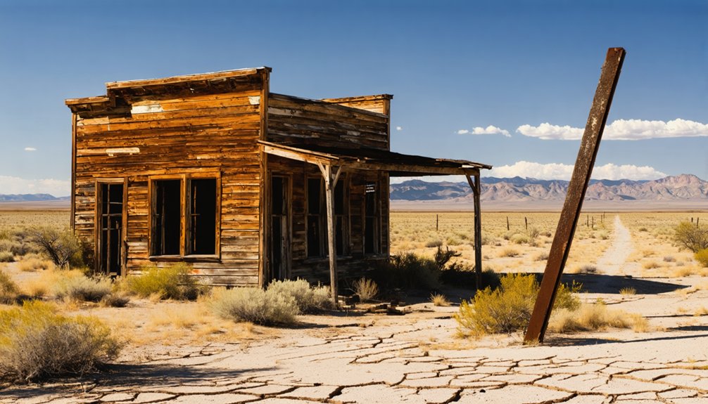
Plata makes a powerful anchor for a broader West Texas adventure, and the surrounding Presidio County landscape rewards those willing to push deeper into its remote corners. Layer your route with stops that match Plata‘s historical preservation ethos and cultural significance:
- Casa Piedra – A weathered ranching settlement nearby that echoes Plata’s agrarian roots and desert isolation.
- Alamito Creek corridor – Follow the waterway through limestone terrain where early settlers carved out survival against harsh odds.
- Presidio County backroads – Farm Road 169 connects ghost town fragments across a region where freedom feels tangible and history runs deep.
You’ll move through landscapes that haven’t softened for tourists. Bring fuel, water, and curiosity. West Texas doesn’t reward passive travelers — it rewards the committed ones.
Frequently Asked Questions
Did Plata, Texas Ever Have a Official Post Office?
Yes, Plata had an official post office operating from 1865 to 1867. You’ll find its historic architecture steeped in local legends, igniting your wanderlust as you explore this forgotten Texas ghost town’s remarkably brief, freedom-filled past.
What Mining Companies Once Operated Within Plata’s Town Limits?
You’d find the Silver Wave Mining Company once worked Plata’s four mines, shaping its mining history. That ghost town preservation spirit calls you to explore where freedom-seekers once chased silver dreams beneath Texas skies.
How Many Mines Were Active During Plata’s Peak Years?
Four mines once fueled Plata’s heartbeat. You’re tracing mining history where Silver Wave’s ghost town preservation echoes freedom’s pursuit — four forgotten shafts that carved dreams into desert stone, beckoning your wandering spirit westward.
What Are the Exact GPS Coordinates for Locating Plata Today?
You’ll find Plata’s historic landmarks resting at 29.5°N latitude, a coordinates whisper from Local legends of the past. Set your GPS, embrace freedom’s call, and let wanderlust guide you to elevation 1,200 feet above sea.
Is Plata, Texas Located on Private or Public Land?
The knowledge doesn’t confirm Plata’s exact land ownership, but you’ll want to research before venturing out. Its historical significance runs deep, so respect whatever land ownership boundaries you encounter on your freedom-seeking journey there.
References
- https://en.wikipedia.org/wiki/La_Plata
- https://www.allacrosstexas.com/texas-ghost-town.php?city=Plata
- https://www.texasescapes.com/TexasGhostTowns/PlataTexas/PlataTexas.htm
- https://www.tshaonline.org/handbook/entries/casa-piedra-tx
- https://en.wikipedia.org/wiki/List_of_ghost_towns_in_Texas
- https://www.texasescapes.com/TexasGhostTowns/CasaPiedraTexas/CasaPiedraTexas.htm
- https://mix941kmxj.com/see-how-two-texas-ghost-towns-battled-for-the-county-and-lost/
- https://atlas.thc.texas.gov/Details/5117002181
- https://www.goparoo.com/united-states/texas/articles/seven-texas-ghost-towns-to-visit-15
- https://www.texasescapes.com/WestTexasTowns/Plateau-Texas.htm



