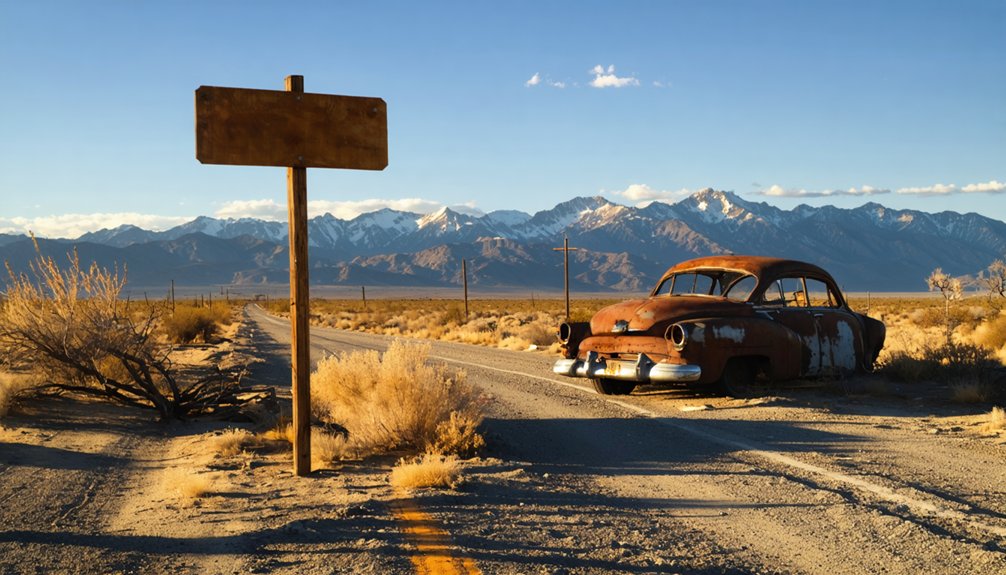
Starting at the Eastern Sierra Interagency Visitor Center, you’ll drive Highway 136 east from Lone Pine into remote desert territory scattered with silver rush ruins, ghost towns, and earthquake scars. Hit Dolomite’s standing company-town structures, explore Darwin’s weathered streets, and climb to Cerro Gordo’s well-preserved relics. Pack water, a paper map, and a high-clearance vehicle for rough roads. Whether you’ve got half a day or a full one, there’s far more to uncover along this route than you’d expect.
Key Takeaways
- Stop at the Eastern Sierra Interagency Visitor Center for maps, seasonal conditions, and exhibits on local mining history before heading out.
- Plan 4–5 hours for a half-day loop covering Dolomite and Darwin, or 7–8 hours for a full-day exploration.
- Bring water, sun protection, a paper map, snacks, and a full gas tank, as cell service is limited.
- Key sites include Cerro Gordo’s preserved silver-rush structures, Darwin’s weathered ruins, and Lone Pine’s 1872 earthquake history.
- Use a high-clearance vehicle for rough terrain, and verify access to privately owned Cerro Gordo beforehand.
What Is Lone Pine Station and Why Ghost Hunters Keep Coming Back
Tucked into Inyo County, California, Lone Pine Station is a ghost town that sits at the edge of the Owens Valley, where the Sierra Nevada rises to the west and the Inyo Mountains cut the horizon to the east. It’s the kind of place that rewards curiosity.
Mining booms once pulled thousands into this valley, but depleted ore and a drying Owens Lake eventually hollowed out the towns they built. What’s left is a corridor of near-abandoned settlements, scenic overlooks, and open desert roads that let you move at your own pace.
You’ll share the landscape with local wildlife and the quiet remnants of another era. Ghost hunters keep coming back because the history here isn’t behind glass — it’s still sitting in the dirt.
Start at the Eastern Sierra Visitor Center Before You Drive
Before you head out to chase down those scattered remains, make one stop that’ll save you time and keep you from missing the good stuff. The Eastern Sierra Interagency Visitor Center sits right at the junction of Highways 395 and 136, just south of downtown Lone Pine.
Stop at the Eastern Sierra Interagency Visitor Center before anything else. It’ll save you time and keep you from missing what matters.
Walk in and grab a map. The staff knows these back roads, seasonal conditions, and which sites are currently accessible. You’ll also find exhibits that frame the mining history before you’re standing in the middle of it.
Depending on the season, you might even catch wildflower blooms spreading across the valley floor with mountain vistas cutting sharp against the skyline behind them. That view alone sets the tone.
Then you head east on Highway 136, and the ghost-town trail begins.
Drive Highway 136 East Into Ghost Town Territory
Once you pull out of the visitor center parking lot and head east on Highway 136, the landscape shifts fast. The Sierra Nevada fades behind you while the Inyo Mountains rise ahead, framing a corridor rich with wildlife habitats, local legends, and mining-era ruins.
Three things you’ll notice immediately:
- Owens Dry Lake spreads across the basin floor, a stark reminder of how dramatically this valley has changed.
- Dolomite appears along the route, where several original company-town buildings still stand against the desert backdrop.
- Road signs thin out, signaling you’ve entered territory that rewards curious travelers willing to navigate carefully.
This stretch doesn’t announce itself loudly. It lets the silence, the dust, and the remnants of forgotten industry speak for themselves.
What the 1872 Earthquake Left Behind in Lone Pine
Before you leave Lone Pine, you’ll want to reckon with the ghost the town carries beneath its surface — the 1872 earthquake, one of California’s most destructive, struck with an estimated magnitude between 7.4 and 7.9.
In a matter of moments, 60 buildings collapsed and 26 people lost their lives across the Owens Valley.
That single event reshaped the region’s history as dramatically as any mine opening or closing ever did.
A Massive Magnitude Strike
Few places in California carry the kind of geological scars that Lone Pine does. The 1872 earthquake reshaped this valley with brutal force, and its historical context still echoes across the landscape today. Geological features like fault scarps and shifted terrain remain visible reminders of just how powerful that strike was.
Here’s what hit:
- Magnitude 7.4–7.9 — one of the largest earthquakes ever recorded in California
- 60 buildings collapsed across the Owens Valley in a matter of seconds
- 26 lives lost — a devastating toll for a small frontier community
You’re traveling through ground that literally moved. That kind of raw, unfiltered history adds serious weight to every mile you drive through this corridor.
60 Buildings Instantly Collapsed
Sixty buildings didn’t slowly crumble — they collapsed in seconds when the 1872 earthquake tore through Lone Pine. With a magnitude estimated between 7.4 and 7.9, the quake killed 26 people and erased much of what the town had built.
You’re walking through ground that shifted violently enough to reshape an entire valley in moments.
That destruction became part of the ghost town legends woven throughout this region. The abandoned structures you’ll encounter today carry echoes of that catastrophic morning — foundations that survived, walls that didn’t, and landscapes permanently altered by forces no mining boom could predict or outrun.
When you explore this corridor, you’re not just chasing history. You’re standing inside it, where the earth itself once decided everything would change overnight.
26 Lives Were Lost
Twenty-six people didn’t survive the morning of March 26, 1872. That number isn’t just a statistic — it’s a permanent mark on Lone Pine’s identity. Walking through this area, you’re standing where one of California’s deadliest earthquakes reshaped everything overnight.
The historical artifacts and preservation efforts here help you connect with that loss in a tangible way.
The earthquake left behind a landscape that still tells its story:
- A mass gravesite where victims were buried together, still visible today
- Collapsed adobe foundations scattered across the original townsite
- Fault scarps rising up to 20 feet, permanently altering the valley floor
You don’t need a history book — the land itself delivers the account directly to you.
Dolomite: The Company Town That Still Has Walls Standing
Driving east on Highway 136 from Lone Pine, you’ll spot the remnants of Dolomite rising from the desert floor before you even know what you’re looking at. This was a company town built entirely around a dolomite quarry, and unlike many sites along this ghost town corridor, it still has walls standing. That’s rare. Most of what wind and time leave behind crumbles fast in the Owens Valley heat.
Dolomite’s mining history runs deep, and while modern industrial facilities have replaced the original work area, the old structures give you something tangible to connect with. Preservation efforts here are minimal, so what remains is raw and unfiltered.
You’re seeing the real thing — not a curated exhibit, but a working town frozen mid-collapse.
Is Cerro Gordo Worth the Drive Up to 8,500 Feet?
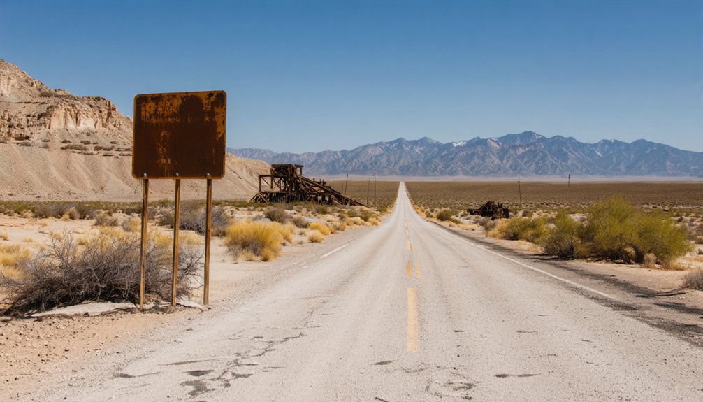
How far are you willing to climb for one of California’s best-preserved ghost towns? Cerro Gordo sits at 8,500 feet in the Inyo Mountains, and its historical preservation alone makes the drive worthwhile.
Silver was discovered here in 1865, and the town eventually held 4,800 residents and 700 mining claims. Unlike state-managed sites, it’s privately owned — raw and unfiltered.
Here’s what you’ll find waiting at the top:
- Five hotels, seven saloons, and a 600-plot graveyard frozen in time
- 37 miles of tunnels beneath your feet, representing extraordinary cultural significance
- Original structures that survived abandonment since 1888
You won’t find guardrails or gift shops. You’ll find honest history standing against the mountain sky.
Darwin and the Other Ghost Towns Along the Route
Cerro Gordo earns its reputation, but it’s not the only stop worth your time on this route. Darwin sits further along the trail and delivers a different kind of ghost town experience. It’s not fully abandoned — some residents still call it home — but the old town area carries a quiet, weathered character that rewards curious travelers.
You might even catch wildlife encounters along the desert stretch leading in, where the landscape opens wide and feels genuinely remote. Dolomite offers another layer to the story, a former company town where a few old buildings still stand against the skyline.
Grab local cuisine in Lone Pine before you head out, because these stops are spread out and the road between them is part of the adventure.
How Long Does the Full Ghost Town Loop Actually Take?
Planning your time well makes the difference between a rushed drive and a satisfying loop. The full ghost town circuit around Lone Pine typically runs half a day to a full day, depending on how deep you dig into each stop.
Time spent planning is time saved on the road — and the difference between a rushed stop and a real discovery.
- Half-day run (4–5 hours): Quick stops at Dolomite and Darwin, with limited time examining historical artifacts at each site.
- Full-day loop (7–8 hours): You’ll explore Cerro Gordo thoroughly, photograph standing structures, and use visitor amenities at the Eastern Sierra Interagency Visitor Center before heading out.
- Extended trip (overnight): Stay near Lone Pine and revisit sites at different lighting conditions for a richer experience.
Pack water, fuel up beforehand, and leave early. The road rewards those who move on their own terms.
Road Conditions, Gate Access, and What to Bring
Knowing how long the loop takes is only half the equation — the other half is knowing what you’re rolling into. Some roads near Lone Pine are paved, but others turn rough and unpaved quickly, especially heading toward Cerro Gordo’s elevation. Check gate access before you go — Cerro Gordo is privately owned, and entry isn’t always guaranteed. Respect posted signs to protect historical artifacts still standing on the property.
For visitor safety, pack more water than you think you’ll need, wear sun protection, and carry a paper map since cell service drops fast out here. A high-clearance vehicle helps on steeper stretches. Sturdy shoes, snacks, and a full gas tank round out your kit. Prepare well, and the landscape rewards every mile.
How to Combine Ghost Towns With the Alabama Hills in One Day
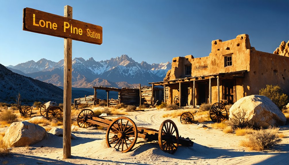
With a little planning, you can cover both the ghost-town corridor and the Alabama Hills in a single full day without feeling rushed. Start early, move with purpose, and leave room for unexpected wildlife encounters along the way.
- Morning: Drive Highway 136 east toward Dolomite and Cerro Gordo while the light is crisp and the crowds are thin.
- Midday: Swing through Darwin, then head back toward Lone Pine for local cuisine at one of the small restaurants before fatigue sets in.
- Afternoon: Spend your remaining hours wandering the Alabama Hills, where eroded boulders frame views of Mount Whitney in every direction.
This sequence keeps your momentum natural, balances history with scenery, and lets the landscape do the talking.
Frequently Asked Questions
Is There an Admission Fee to Visit Lone Pine Station Ghost Town?
You’ll find no admission fee to explore Lone Pine Station’s open landscape. It’s a freeing experience perfect for historical preservation appreciation and photography opportunities, letting you roam and capture the desert’s haunting beauty on your own terms.
Are Pets Allowed at the Ghost Town Sites Near Lone Pine?
The knowledge base doesn’t cover pet-friendly policies or animal safety guidelines for these sites. You’ll want to contact each location directly before bringing your furry companion along on this adventurous ghost town road trip.
What Is the Best Time of Year to Visit Lone Pine Ghost Towns?
Spring and fall offer you the best conditions for historical preservation exploration and photography tips—you’ll capture stunning light, avoid summer’s brutal heat, and experience these ghost towns with fewer crowds and breathtaking Sierra Nevada backdrops.
Are There Guided Ghost Town Tours Available Near Lone Pine, California?
You’ll find limited formal guided tours, but local guides occasionally lead historical preservation walks through Cerro Gordo, sharing local legends that’ll ignite your adventurous spirit. Explore independently for ultimate freedom, or check with the Eastern Sierra Interagency Visitor Center.
Can Children Safely Explore the Ghost Town Sites Around Lone Pine?
Yes, kids can explore these sites if you take proper safety precautions. Watch for uneven terrain and restricted areas. Historical preservation means some structures are unstable, so you’ll want to keep curious little adventurers close throughout your journey.
References
- https://lonepinechamber.org/history/ghost-towns-of-the-lone-pine-area/
- https://www.youtube.com/watch?v=EcGVFoCMg_E
- https://en.wikipedia.org/wiki/List_of_ghost_towns_in_California
- https://abc7.com/post/cerro-gordo-california-ghost-town-up-for-sale/3606153/
- https://www.backroadswest.com/blog/ghost-town-trail-near-lone-pine/
- https://www.aopa.org/news-and-media/all-news/2023/march/pilot/destination-lone-pine-california
- https://a.osmarks.net/content/wikipedia_en_all_maxi_2020-08/A/List_of_ghost_towns_in_California
- https://nvtami.com/2024/04/26/owens-valley-ghost-towns/
- https://www.latimes.com/archives/la-xpm-2006-oct-08-me-then8-story.html
- https://alpharoaming.com/2019/06/19/cerro-gordo/



