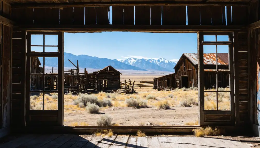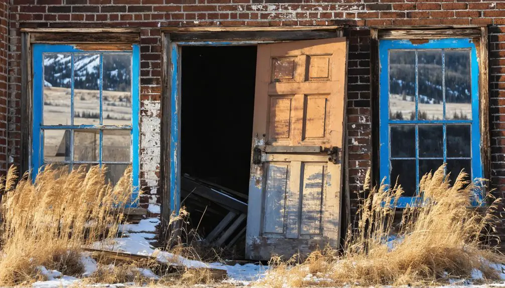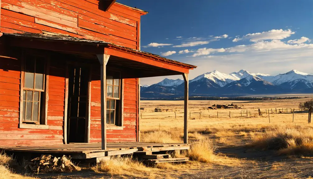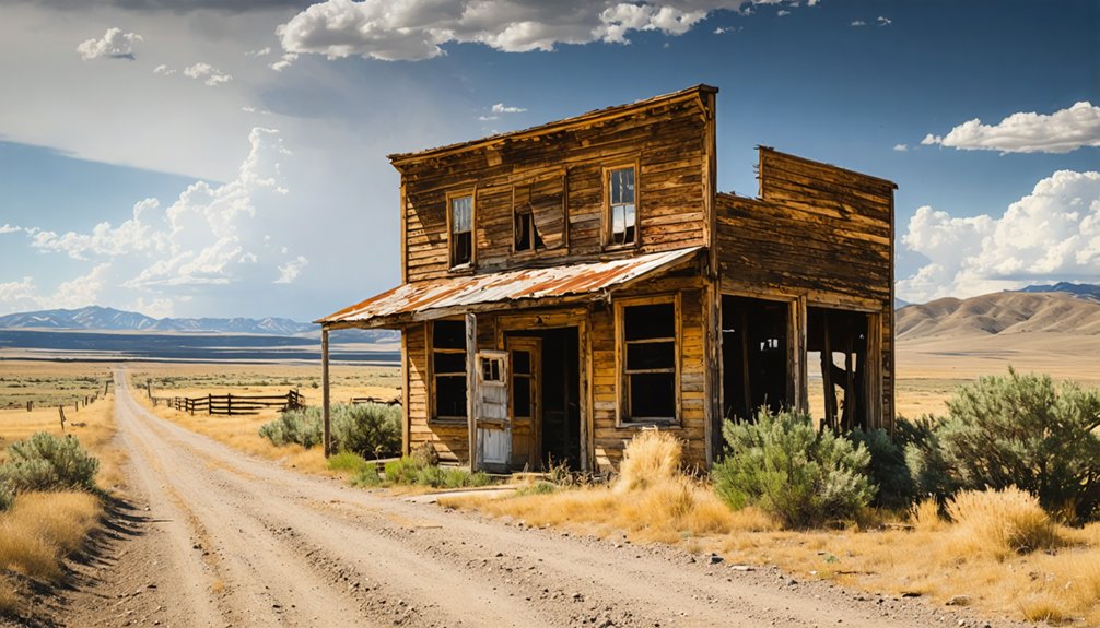
Planning a ghost town road trip to Lonetree, Montana means venturing into Chouteau County’s remote north-central terrain, where crumbling granite cabins and a sandstone house have stood since the 1880s. You’ll find no gift shops or guided tours here — just windswept canyon silence and pronghorn roaming the hillsides. Visit between June and September, verify road conditions beforehand, and pack extra water and emergency supplies. There’s far more to this forgotten homesteading story than first meets the eye.
Key Takeaways
- Lonetree is in remote Chouteau County, north-central Montana, at approximately 47.54°N, 110.28°W, with an elevation of 3,123 feet.
- Visit in June or September for favorable weather, daylight, and scenic lighting conditions ideal for photography.
- Pack extra water, emergency supplies, sturdy boots, and a paper map, as cell service is unavailable.
- Verify road conditions before departure, as unpaved backroads become dangerously treacherous after rainfall.
- Nearby ghost towns Granite, Garnet, and Fort Benton offer excellent opportunities to extend your road trip exploration.
Why Lonetree’s Ranch and Stage Stop History Is Still Worth the Drive
When you pull off into north-central Montana’s wide open ranchland, Lonetree doesn’t announce itself with roadside signs or a visitor center — and that’s exactly the point. Founded around 1885, this ghost town earned its place through honest work: granite cabins, a sandstone house with running spring water, and a stage stop connecting Fort Benton to Lewistown.
You’re tracing local legends of homesteaders who hauled water from Lonetree’s spring before they’d dug their own wells. The historical architecture tells the story better than any museum exhibit could.
When the Milwaukee Road bypassed Lonetree for Geraldine in 1915, the town’s purpose simply evaporated. What you find today is raw, unfiltered history sitting on the land — no guardrails, no gift shop, just Montana doing what it does best.
How Lonetree Went From Ranch Headquarters to Ghost Town
When you trace Lonetree’s origins back to 1887, you find Christopher and Edward Wilson building a modest ranch headquarters from local granite.
Eventually, they completed a two-story sandstone house with running water by 1895.
What grew around that ranch became a genuine community hub, serving hundreds of homesteaders across more than 400 square miles as a mail stop, stage stop, and water source.
The town’s fate shifted when the Milwaukee Road bypassed Lonetree in favor of Geraldine, collapsing the stage line, shuttering the post office, and closing the school — all by 1915.
Ranch Origins And Growth
Few ghost towns have origins as grounded in practical necessity as Lonetree. When Christopher and Edward Wilson rode into the canyon in 1887, they weren’t chasing local legends — they were building a working ranch from scratch.
They started with a simple dugout, then constructed a two-room cabin from nearby granite. That cabin became part of Lonetree’s historic architecture, later repurposed as a schoolhouse in 1912.
Railroad Bypass And Decline
What built Lonetree up ultimately couldn’t save it. When the Milwaukee Road laid its tracks through north-central Montana, it bypassed Lonetree entirely, favoring Geraldine instead. That decision hit like a death blow. The stage line shut down in 1915, the post office transferred to Geraldine, and the school closed that same year. Almost overnight, the community lost every reason for travelers to stop.
Today, you’ll find a place thick with local legends and ghost stories carried down through generations of Montana ranchers. The silence feels earned rather than empty. You’re standing where hundreds of homesteaders once depended on a single spring and a two-room cabin.
The Milwaukee Road’s choice didn’t erase Lonetree — it just froze it in time, waiting for curious travelers like you.
How to Find Lonetree in North-Central Montana
You’ll find Lonetree tucked into north-central Montana’s Chouteau County at coordinates 47.54167°N, 110.28417°W, sitting at roughly 3,123 feet in elevation.
The site occupies rural terrain far from developed tourist infrastructure, so you’ll want to verify road conditions before you head out.
Check with local sources ahead of your visit, since remote Montana backroads can shift dramatically with weather and season.
General Location And Coordinates
Tucked into north-central Montana, Lonetree sits in Chouteau County at coordinates 47.54167°N, 110.28417°W, at an elevation of roughly 3,123 feet. This remote ghost town rewards adventurous travelers willing to seek it out.
Picture yourself arriving to:
- Rolling high-plains terrain stretching endlessly under a wide Montana sky
- Granite and sandstone structures quietly anchoring local legends of ranchers and homesteaders
- A preserved canyon setting where preservation efforts have kept history tangible
You’re not pulling into a manicured tourist park — you’re stepping onto open land shaped by real survival and community.
Before heading out, verify road conditions, as rural access roads can be unpredictable. Your GPS coordinates are your best companion for pinpointing this isolated but historically rich destination.
Road Access Considerations
Reaching Lonetree demands some homework before you ever turn the key. This ghost town sits in rural north-central Montana, tucked into Chouteau County at roughly 47.54°N, 110.28°W, and paved roads don’t guarantee you a smooth arrival. Confirm current road conditions before you head out, especially after heavy rain or winter weather.
You’ll share these back roads with open range, so watch for wildlife sightings — deer, antelope, and occasionally larger animals cross without warning. Locals carry their own local legends about travelers who underestimated these plains and ended up stranded miles from help.
Pack extra water, fuel, and a paper map. Cell service is unreliable out here. Treat Lonetree like the remote historic site it truly is, and you’ll arrive ready to explore.
What You’ll Actually See at the Lonetree Site Today
Since Lonetree earned its place on the National Register of Historic Places in 1980, the site has remained a quiet, largely undeveloped historic location rather than a polished tourist destination. You won’t find gift shops or guided tours here — just open land and remnants of a community that once served hundreds of homesteaders across 400 square miles.
No gift shops, no guided tours — just open land and the quiet remnants of a community that once was.
Expect to encounter:
- Weathered granite and sandstone structures, including remnants of the two-story house built by 1895
- Wildlife encounters with pronghorn, hawks, and mule deer roaming the surrounding canyon terrain
- Wide-open photography tips territory — golden hour light hits the stone ruins dramatically, so arrive early or late
Come prepared with water, a full tank, and your own sense of direction.
Best Season to Make the Drive Out to Lonetree
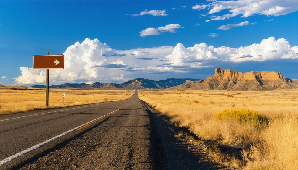
Once you’ve decided the drive is worth making, timing it right makes all the difference between a rewarding trip and a frustrating one. Late spring through early fall gives you the best window. June and September offer mild temperatures, manageable roads, and enough daylight to explore properly.
Summer heat stays reasonable at this elevation, and you’ll find genuine wildlife observation opportunities across the surrounding grasslands and canyon terrain.
Avoid winter entirely. North-central Montana’s rural roads turn punishing in snow and mud, and you won’t see what makes this site worth protecting. Cultural preservation only means something when you can actually reach the place and walk the ground.
September hits the sweet spot — golden light, cooler air, fewer obstacles, and that open-road feeling that makes ghost-town travel genuinely satisfying.
Ghost Towns Near Lonetree to Add to Your Route
Lonetree works best as one stop on a longer Montana ghost-town loop rather than a standalone destination. North-central Montana rewards explorers who string multiple sites together, and two standouts deserve a spot on your route:
- Granite — A silver-mining ruin perched high in the mountains where mining history left behind crumbling mill works and eerie silence.
- Garnet — Montana’s best-preserved ghost town, rich with mining history and echoes of prospectors who chased gold through brutal winters.
- Fort Benton — A river trading hub once essential to Native tribes and settlers alike, now a living historic district worth an afternoon stop.
Each site layers a different chapter onto your road trip, turning a single detour into a full sweep of Montana’s rugged, untamed past.
Road Access, Conditions, and What to Bring to Lonetree
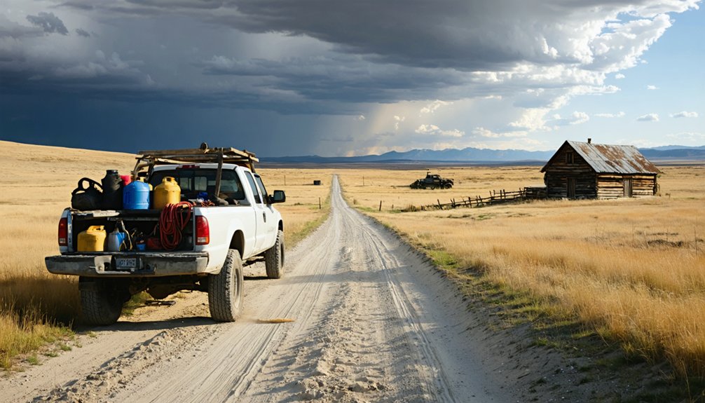
Stringing those ghost towns together takes planning, and getting to Lonetree demands a bit more preparation than a standard highway stop. Sitting in rural north-central Chouteau County, the site lacks developed tourist infrastructure, so you’ll want to verify road conditions before you roll out.
Lonetree isn’t a spontaneous detour — check road conditions, plan ahead, and respect the remoteness before you go.
Montana’s unpaved backroads turn treacherous after rain, and cell service won’t bail you out here. Pack extra water, a paper map, and emergency supplies.
When you arrive, you’re rewarding yourself with historical architecture that survived the homesteading era — granite cabins, a sandstone house, and the quiet weight of local legends tied to ranchers, homesteaders, and a stage line that once connected Fort Benton to Lewistown.
Wear sturdy boots, bring a camera, and treat the site with the respect a National Register property deserves.
Frequently Asked Questions
Was Lonetree Ever Considered for Official Town Incorporation?
There’s no record of Lonetree ever pursuing official incorporation. It functioned as a rural service hub before fading into ghost town preservation history, yet its historic landmarks earned National Register recognition in 1980, honoring your adventurous spirit of discovery.
Are There Any Descendants of the Wilson Family Still in the Area?
There’s no documented record of Wilson descendants still in the area. You’d need to dig into local genealogical records to uncover their family legacy and trace where the Wilson descendants eventually settled after leaving Lonetree.
Is Overnight Camping Permitted Near the Lonetree Historic Site?
Like early homesteaders who simply rolled out bedrolls under Montana’s vast sky, you’ll need to check current camping regulations and secure overnight permits before staying near Lonetree, as no confirmed public camping infrastructure exists there.
You’ll likely find Lonetree listed on some mapping apps, but don’t rely solely on GPS accuracy for this remote ghost town. Cross-reference multiple sources and carry paper maps to confidently navigate north-central Montana’s rugged, freedom-filled backroads.
Are Guided Tours of the Lonetree Site Ever Offered Locally?
No official guided tour availability exists, and no known local tour providers operate here. You’ll explore freely, move at your own pace, and discover Lonetree’s raw, untamed history entirely on your own adventurous terms.
References
- https://en.wikipedia.org/wiki/Lonetree
- https://fwp.mt.gov/stateparks/granite-ghost-town
- https://www.facebook.com/groups/764515800577918/posts/2915631912132952/
- https://southwestmt.com/blog/garnet-gold-and-ghosts/
- https://historicmt.org/items/show/242
- https://zh.wikipedia.org/wiki/隆特里_(蒙大拿州)
- https://www.mtmemory.org/nodes/view/128524
- https://en.wikipedia.org/wiki/List_of_ghost_towns_in_Montana
- https://arc.lib.montana.edu/msu-student-papers/item/326