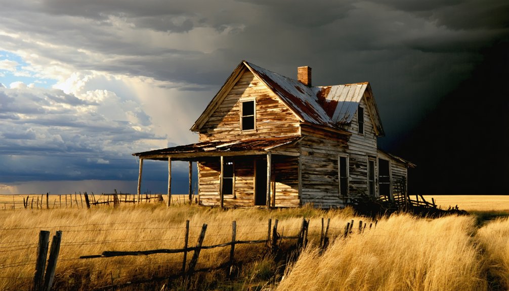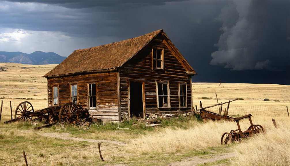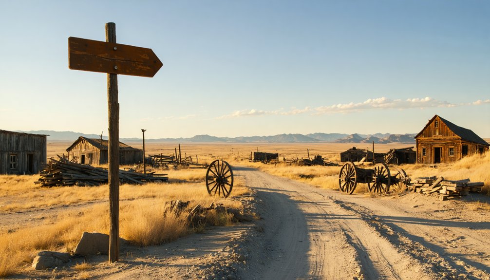
Planning a ghost town road trip to Lost Camp, South Dakota means tracing the Black Hills’ wildest gold rush chapter. You’ll follow U.S. Highways 385 and 16 out of towns like Deadwood or Custer, hunting for foundation stones, depressions, and overgrown clearings where a boom-and-bust settlement once burned hot and vanished fast. Visit late spring through early fall for the best road conditions. There’s far more to uncover about Lost Camp’s hidden traces and the ghost towns surrounding it.
Key Takeaways
- Lost Camp, a Black Hills gold rush settlement from the 1870s, is best visited late spring through early fall for optimal road conditions.
- Access the site via U.S. Highway 385 or Highway 16, using Deadwood, Lead, or Custer as convenient starting points.
- Few structures remain; look for foundation depressions, unusual vegetation, rusted debris, and altered terrain to identify the former settlement.
- Combine Lost Camp with nearby ghost towns like Rockerville, Mystic, Galena, and submerged Pactola for a comprehensive Black Hills itinerary.
- Pack a paper map, extra water, and a recovery kit, as cell service and road conditions can deteriorate beyond main attractions.
What Is Lost Camp and Where Does It Sit in the Black Hills?
Although the Black Hills hold well over 600 ghost towns, Lost Camp stands out as one of western South Dakota’s more elusive former settlements. It is tied to the same gold-rush forces that swept through the region in the 1870s and left dozens of mining camps abandoned almost as quickly as they’d been built.
You’ll find it associated with the rugged western South Dakota landscape where mining booms rose and collapsed within years. Historical myths surround many of these sites, blurring the line between documented history and frontier legend, so you should verify what you read before you go.
Modern preservation efforts in the Black Hills have salvaged some locations, but Lost Camp remains difficult to pin down precisely, making your research as much a part of the adventure as the road trip itself.
How Lost Camp Emerged From the 1870S Black Hills Gold Rush
When you trace Lost Camp’s origins, you land squarely in the chaotic energy of the 1870s Black Hills gold rush, when prospectors flooded western South Dakota and staked claims faster than any government could track them.
Miners threw up camps almost overnight, building just enough infrastructure to work the ground and supply the crews before moving on if the ore ran thin.
That boom-and-bust cycle is exactly what shaped Lost Camp — a settlement that rose with the rush and faded once the economic reason to stay disappeared.
Gold Rush Origins
The 1870s Black Hills gold rush didn’t just draw prospectors—it built entire communities overnight, and Lost Camp was likely one of them. When miners flooded western South Dakota, they didn’t wait for infrastructure. They staked claims, raised tents, and created settlements wherever the ore looked promising.
Lost Camp reportedly emerged from exactly that kind of rapid, resource-driven founding. You’re looking at a place born from urgency, ambition, and frontier independence.
Like dozens of similar camps, its survival depended entirely on whether the gold held out. When it didn’t, people moved on.
Today, cultural preservation efforts and recovered historical artifacts help reconstruct what these vanished communities looked like. Understanding that origin story makes your road trip feel less like sightseeing and more like genuine historical discovery.
Mining Camp Formation
Knowing why a camp existed is one thing—understanding how it physically came together tells a different story. Lost Camp emerged fast, shaped by raw necessity and the era’s available mining technology. Prospectors didn’t build permanent towns—they built functional ones.
Early formation typically followed a recognizable pattern:
- Tents replaced by rough timber structures as confidence in the strike grew
- Settlement architecture centered on the mine shaft, not comfort
- Blacksmith shops, assay offices, and supply tents clustered nearby
- Water access dictated exact placement within the gulch
- Population swelled or collapsed based purely on ore production
You’re looking at a place built by people who valued mobility over permanence. Every structure served extraction.
When the ore thinned, so did the population—leaving Lost Camp to quietly disappear into the Black Hills landscape.
Settlement And Abandonment
Like most Black Hills mining camps, Lost Camp didn’t grow by plan—it grew by rumor. When word spread of gold in western South Dakota during the 1870s rush, prospectors moved fast, staking claims and throwing up rough shelters before anyone confirmed what lay beneath the ground.
You can imagine the cultural significance those early arrivals attached to every promising hillside—freedom, fortune, a fresh start beyond established society. But when the ore thinned or the capital dried up, people left just as quickly as they’d arrived.
The environmental impact lingered long after the last miner walked away—scarred hillsides, tailings, and disturbed creek beds marking where ambition once concentrated. Lost Camp followed that familiar arc: brief intensity, then silence, then erasure from most maps entirely.
Ruins, Foundations, or Nothing: What Survives at Lost Camp Today
When you roll into the Black Hills hunting for traces of Lost Camp, don’t expect a Hollywood ghost town with weathered saloons and creaking doors. Reality hits differently out here. Most visitors find one of these scenarios:
- Bare ground where structures once stood
- Scattered foundation stones half-buried in brush
- Landscape features like old road cuts or depressions
- Submerged remains if reservoir construction reshaped the area
- Interpretive markers where preservation efforts made any mark
Modern tourism hasn’t polished Lost Camp into a packaged attraction, and that raw uncertainty is exactly what makes it worth chasing. You’re reading the land itself, not a curated exhibit.
Cross-check current access conditions before you go, because what survives — if anything — can shift with seasons, erosion, and land management decisions.
How to Reach Lost Camp From the Black Hills Highway System
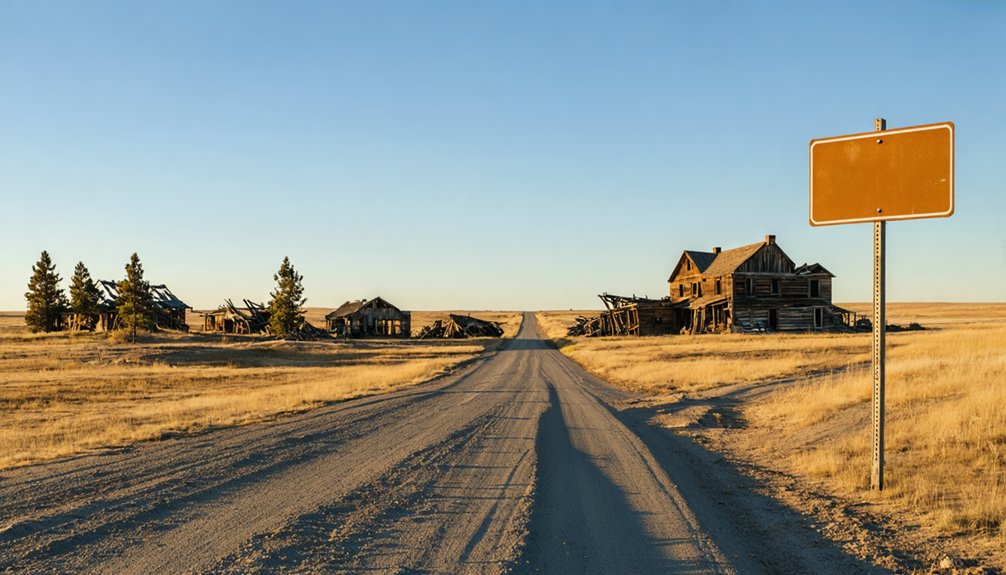
If you’re planning your route from the Black Hills highway system, U.S. Highway 385 and U.S. Highway 16 serve as your primary corridors through western South Dakota’s ghost-town country.
Nearby towns like Deadwood, Lead, and Custer offer your best starting points for fuel, supplies, and local directions before you head toward less-traveled terrain.
Time your trip for late spring through early fall, when road conditions are most reliable and daylight gives you the best chance of spotting what little may remain at the site.
Black Hills Highway Access
Traveling the Black Hills highway system puts you within striking distance of western South Dakota’s ghost-town corridor, where Lost Camp sits among dozens of abandoned settlements tied to the region’s 1870s gold rush.
Key routes thread through scenic viewpoints and open terrain where wildlife encounters with deer and pronghorn are common.
Plan your approach using these access points:
- US-385 runs north-south through the Black Hills core
- US-16 connects Rapid City westward toward historic mining zones
- SD-44 offers a southern entry through open ranch country
- Needles Highway (SD-87) delivers dramatic high-elevation passage
- Iron Mountain Road links scenic viewpoints between Keystone and Custer
Confirm current road conditions before departure, especially on seasonal or unpaved sections leading toward remote settlement sites.
Nearest Towns And Routes
Once you’ve mapped your Black Hills highway approach, a handful of nearby towns serve as your practical launching points toward Lost Camp. Deadwood and Lead sit at the heart of the region’s mining legends, offering fuel, lodging, and direct access to western South Dakota’s historic corridor.
From either town, you can push south or west along US-385 and US-14A, tracing routes that once connected frontier settlements now buried in ghost town legends.
Custer and Hill City also work well as staging points if you’re approaching from the south.
Keep your map flexible — Lost Camp’s exact location remains tied to county records and local historical sources, so confirming your final approach before you leave the pavement saves time and unnecessary backtracking across remote terrain.
Road Conditions And Timing
Road conditions in the Black Hills shift fast, and knowing what to expect before you leave your staging town makes the difference between a smooth run and a frustrating detour. Late spring through early fall gives you the clearest roads and best visibility for chasing historical legends across western South Dakota.
- Check SDDOT road alerts before departure
- Avoid narrow forest routes after heavy rainfall
- Morning starts beat afternoon thunderstorms common in summer
- Cell service drops sharply beyond main tourist attractions
- Pack a paper map as backup for remote stretches
Gravel and two-track roads can become impassable quickly, so carry extra water and a basic recovery kit. Flexibility in your schedule lets you reroute without sacrificing the spirit of the trip.
The Best Season to Visit Lost Camp and the Surrounding Ghost Town Trail
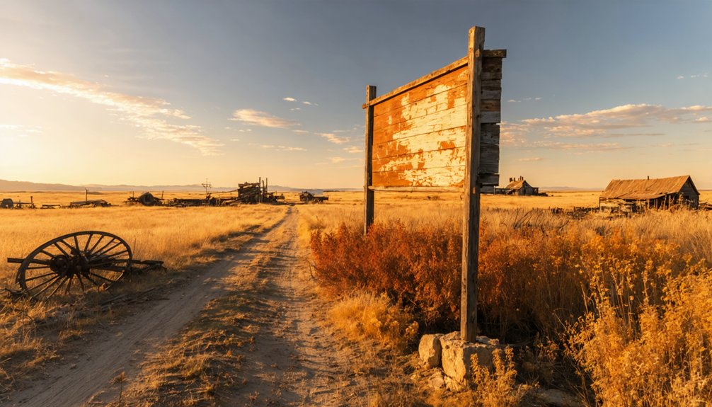
Planning your ghost town road trip to Lost Camp and the surrounding Black Hills takes some seasonal strategy. Late spring through early fall gives you the clearest access to remote sites, where you’ll spot remnants of settlement architecture and trace the footprint of mining technology that once drove these communities.
Summer offers long daylight hours and passable back roads, letting you push deeper into the Hills without worrying about sudden closures. Fall brings cooler temperatures and thinner crowds, making exploration feel genuinely open and unhurried.
Avoid winter if you’re chasing lesser-known sites, since snow buries foundations and cuts off unpaved routes entirely. Whatever season you choose, check current road conditions before you leave and confirm land access so your itinerary stays flexible and your discoveries stay real.
Nearby Ghost Towns That Deserve a Stop Alongside Lost Camp
Lost Camp sits inside a broader network of abandoned settlements scattered across the Black Hills. Once you’ve timed your visit right, you’d be shortchanging yourself by stopping at just one site.
The region carries historical legends and folklore stories tied to gold rushes, outlaws, and overnight boomtowns. Add these nearby stops to your route:
- Rockerville – one of the Black Hills’ earliest placer gold camps
- Mystic – a former logging and mining settlement deep in the hills
- Pactola – a submerged town beneath the lake’s surface
- Galena – rich in mining heritage and visible remnants
- Carbonate Camp – a short-lived boomtown with frontier roots
Each site deepens the story and makes your road trip genuinely worth the miles.
Building a Full Black Hills Ghost Town Itinerary Around Lost Camp

Once you’ve identified your anchor stops, building a full Black Hills ghost town itinerary around Lost Camp becomes a matter of connecting the region’s abandoned settlements into a logical, rewarding loop.
Move west to east across the Hills, pausing at mining landscapes, historic post office sites, and reservoir-submerged locations like Pactola Lake.
You’ll want flexibility in your schedule because wildlife encounters — deer, pronghorn, and raptors — are common along remote Black Hills routes and worth slowing down for.
For photography tips, shoot foundations and landscape remnants during golden hour when low light sharpens texture and shadow.
Pair accessible heritage sites with harder-to-find locations, balancing convenience with discovery.
This approach transforms a single stop into a broader hidden-history route through western South Dakota’s most compelling forgotten terrain.
How to Spot Settlement Traces When Lost Camp Shows No Structures
When Lost Camp shows no standing structures, you’ll need to shift your attention from buildings to subtler clues embedded in the landscape. Settlement traces carry real historical artifacts and cultural significance if you know what you’re reading.
Watch for:
- Depressions or mounds — collapsed foundations or filled-in cellars leave distinct ground shapes
- Unusual vegetation clusters — lilacs, fruit trees, or non-native plants often mark former homesteads
- Scattered debris fields — rusted metal, broken glass, or ceramic fragments signal past occupation
- Altered drainage patterns — hand-dug ditches or leveled terrain reveal intentional human modification
- Road stubs and clearings — wagon tracks or open corridors frequently connect former settlement cores
Photograph everything systematically. Even small finds anchor Lost Camp’s story to a real place on the map.
What to Pack When Visiting Lost Camp and Remote Black Hills Sites
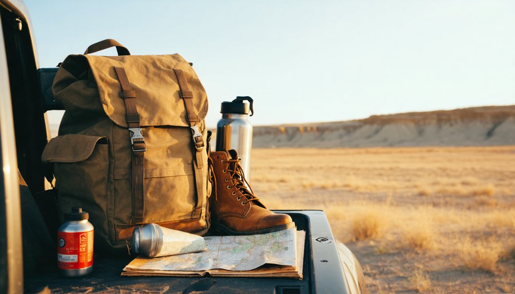
Packing smart separates a productive ghost-town visit from a frustrating one, especially at remote Black Hills sites where you won’t find a convenience store or cell signal when something goes wrong. Bring printed maps, since digital navigation fails in dead zones.
Carry enough water for several hours, sturdy boots for uneven terrain, and a first-aid kit. A notebook helps you document local legends and historic legends tied to each site before memory fades.
Pack a camera, extra batteries, and a portable charger. Sun protection matters year-round in exposed landscapes.
Trekking poles help on slopes where settlement traces hide beneath overgrowth. Keep a flashlight handy for shaded foundations.
Tell someone your route before you leave, because self-sufficiency isn’t optional when you’re chasing South Dakota‘s forgotten history alone.
Permits, Land Access, and Rules Before You Go
Gear fills your bag, but rules govern whether you legally set foot on the land you’re heading toward. Before you chase Lost Camp’s history across western South Dakota, confirm access requirements for every stop.
Check these essentials:
- Land jurisdiction – Determine whether your target sits on federal, state, tribal, or private land
- Entry permits – Some Black Hills sites require passes or advance authorization
- Historical preservation laws – Removing artifacts violates federal law and destroys irreplaceable heritage
- Visitor safety notices – Reservoir zones and abandoned mine areas carry active hazard warnings
- Trespassing boundaries – Unmarked private land is still private land
Contact the South Dakota Game, Fish and Parks office or the Black Hills National Forest ranger district directly. Confirmed access protects both you and the sites you’re there to explore.
Frequently Asked Questions
Can Lost Camp Appear on Modern GPS or Digital Mapping Apps?
You might spot Lost Camp through GPS accuracy checks or Digital mapping apps, but don’t count on it—many ghost towns vanish from modern databases entirely, so you’ll want to cross-reference historical maps before heading out.
Are Guided Ghost Town Tours Available Specifically for the Black Hills Region?
Dusty trails and crumbling history await you — yes, guided ghost town tours exist in the Black Hills! You’ll find local operators blending historical preservation with unforgettable tourist attractions, letting you roam forgotten landscapes without getting lost yourself.
Has Lost Camp Ever Been Featured in South Dakota Documentaries or Films?
You haven’t found confirmed documentary or film features on Lost Camp yet, but its historical preservation ties and Black Hills tourist attractions make it a compelling candidate for future South Dakota storytelling projects worth exploring.
Do Local Museums in Deadwood or Rapid City Display Lost Camp Artifacts?
Over 600 Black Hills ghost towns hold untold stories! You’ll want to contact Deadwood or Rapid City museums directly, as historic preservation efforts and museum exhibits featuring Lost Camp artifacts aren’t currently confirmed in available regional records.
Is Lost Camp Mentioned in Any Published South Dakota Ghost Town Books?
You’ll want to check published South Dakota ghost town books for Lost Camp’s mention, as historical preservation records vary. Cross-reference titles through the South Dakota Historical Society before featuring it among verified tourist attractions on your route.
References
- https://en.wikipedia.org/wiki/List_of_ghost_towns_in_South_Dakota
- https://www.sdpb.org/rural-life-and-history/2023-08-21/some-black-hills-ghost-towns-and-their-origins
- https://www.blackhillsescaperooms.com/lost-city-of-south-dakota/
- https://www.youtube.com/watch?v=iLdeP_SBrJc
- https://www.powderhouselodge.com/black-hills-attractions/fun-attractions/ghost-towns-of-western-south-dakota/
- https://kids.kiddle.co/List_of_ghost_towns_in_South_Dakota
- https://www.sdhspress.com/journal/south-dakota-history-2-2/some-black-hills-ghost-towns-and-their-origins/vol-02-no-2-some-black-hills-ghost-towns-and-their-origins.pdf
- https://ghost-towns.close-to-me.com/states/south-dakota/
- https://www.ghosttowns.com/states/sd/sd.html