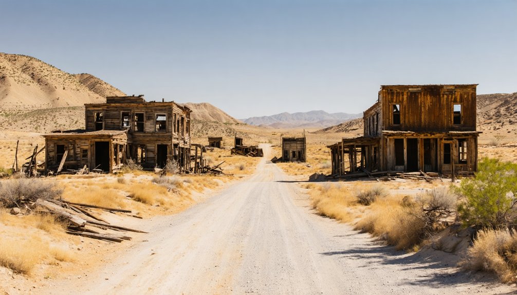
Planning a ghost town road trip to Sandy Bar, California means heading to the south bank of the Mokelumne River, roughly 2 miles east-northeast of Big Bar. You’ll find no markers or structures — just the river, the hillsides, and the silence of a place that boomed and collapsed with Gold Rush fever. Bring sturdy gear, cross-reference historic maps, and aim for fall’s cooler temps. There’s far more to this forgotten placer camp than first meets the eye.
Key Takeaways
- Sandy Bar is located approximately 2 miles east-northeast of Big Bar on the south side of the Mokelumne River.
- No structures, markers, or artifacts remain, so bring historical knowledge and maps to fully appreciate the site.
- Cross-reference historic maps with current road data and confirm land access before visiting, as no highway signs exist.
- Fall is the optimal visiting season, offering cooler temperatures, fewer crowds, and a contemplative ghost-town atmosphere.
- Nearby ghost towns like Poverty Bar and Sandy Gulch share similar histories and can be included in your road trip.
How the Gold Rush Built and Abandoned Sandy Bar, California
Gold fever pulled thousands of migrants into California’s river valleys after 1848, and the Mokelumne River’s sandy bars and sediment-rich beds made spots like this one irresistible to placer miners who could pan and sift directly from the riverbed.
The Mokelumne River’s sediment-rich beds made Sandy Bar irresistible to gold-hungry placer miners after 1848.
Miners hauled basic mining equipment — pans, rockers, and sluice boxes — to Sandy Bar’s south bank, building a scrappy community around extraction. Stores and services followed, stitching together a functioning settlement almost overnight.
But that momentum carried a fatal flaw: once the accessible gold thinned, the economic engine stalled. Settlement decline hit fast. Miners chased richer strikes elsewhere, businesses shuttered, and Sandy Bar slipped from a living camp into a memory.
That boom-and-bust pattern defined dozens of Calaveras County sites, and Sandy Bar remains one of its quieter, more honest examples.
Where Sandy Bar Sits on the Mokelumne River
That scrappy settlement had to exist somewhere specific, and the geography made the choice almost unavoidable. Sandy Bar sits on the south side of the Mokelumne River, tucked roughly two miles east-northeast of Big Bar. Miners didn’t choose that spot carelessly — the river bar offered gold-bearing sediments and direct water access for placer work.
You’d find the weather patterns here shaped everything from the mining season to daily survival, with Sierra-driven winters pushing cold water downstream and dry summers exposing workable gravel bars.
Local wildlife shared that corridor — deer, waterfowl, and predators moving along the same river road miners traveled. The Mokelumne essentially dictated where people settled, worked, and eventually abandoned when richer ground called them elsewhere.
What Miners Were Actually Extracting at Sandy Bar
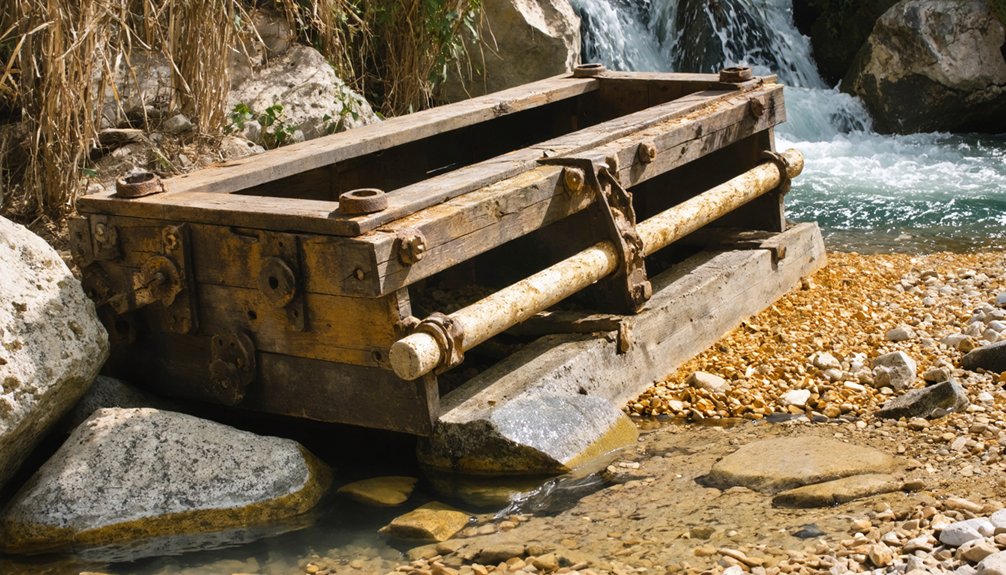
River bars like Sandy Bar weren’t random stops — they held placer gold, the loose, weathered particles that had broken free from quartz veins upstream and traveled downstream to settle in gravel beds. Miner activity here focused on working the Mokelumne’s edge, where gold extraction meant sifting through sediment layer by layer.
Miners typically targeted:
- Shallow gravel bars where current slowed and heavy particles settled
- Bedrock crevices trapping fine gold beneath loose material
- Sand deposits along the river’s south bank
- Bench gravels — older river deposits left above the waterline
You’re looking at men who followed water logic, reading the river like a map. Every bend, every bar told them where fortune might be hiding.
What Remains at Sandy Bar Today
What’s left at Sandy Bar today is largely what time and the river decided to spare — which isn’t much. Modern remnants are fundamentally nonexistent; the Mokelumne River and over a century of erosion have reclaimed what miners once built along its banks. No structures, markers, or preserved artifacts greet you on arrival.
Your visitor experience here is shaped entirely by imagination and historical context. You’re standing on ground where Gold Rush hopefuls once worked the river bars, built rough shelters, and chased a fortune that eventually ran dry.
The landscape itself — the river, the hillsides, the quiet — is the only surviving witness. If you’re road-tripping through Calaveras County, Sandy Bar rewards those who come prepared with history rather than expectations of visible ruins.
How to Reach Sandy Bar, California
Getting to Sandy Bar takes some planning, since it’s not a destination with highway signs or a marked pulloff waiting for you. Cross-reference historic maps with current road data before you leave, and verify land access status independently.
- Locate Sandy Bar roughly 2 miles east-northeast of Big Bar along the south side of the Mokelumne River.
- Use historic maps from California’s Gold Rush era to orient yourself within the river corridor.
- Check local legends and regional ghost-town resources for route details passed down through Calaveras County communities.
- Confirm current road conditions, since river-adjacent terrain shifts seasonally.
You’re charting your own course here, much like the miners once did. That independence is exactly what makes this journey worth taking.
Ghost Towns Near Sandy Bar to Add to Your Route
Once you’ve pinpointed Sandy Bar on your route, it’s worth pulling in nearby ghost towns that share the same Gold Rush boom-and-bust story. Calaveras County holds several river-adjacent settlements that collapsed when the gold ran out, each carrying local legends of fortune-seekers who arrived with ambition and left with little.
Sandy Bar is just the beginning — Calaveras County’s ghost towns tell the same Gold Rush story of ambition meeting ruin.
Sites near the Mokelumne River corridor once supported stores, post offices, and active mining operations — remnants of historic architecture occasionally surface in these areas, quietly marking where communities once stood.
Poverty Bar and Sandy Gulch sit close enough to fold naturally into your itinerary, deepening the regional story without forcing long detours.
Researching land access and road conditions before you go keeps your route practical and your exploration genuinely rewarding.
What to Bring to Sandy Bar and the Surrounding Sites
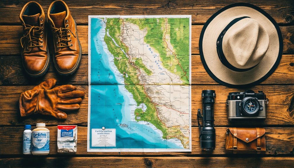
Reaching a remote historical site like Sandy Bar means you’ll want sturdy footwear, layered clothing, sun protection, and plenty of water before you leave the pavement behind.
Pack a printed topographic map and a compass alongside your phone, since cell service along the Mokelumne River corridor can be unreliable.
A basic first aid kit and a fully charged power bank round out the essentials, keeping you prepared for the same unpredictable terrain that challenged Gold Rush miners a century and a half ago.
Essential Gear To Pack
Exploring a remote ghost town like Sandy Bar means you’ll need to come prepared, especially since this isn’t a developed tourist site with paved paths or visitor amenities. The terrain along the Mokelumne River demands practical gear, and respecting historical artifacts means leaving mining techniques and remnants undisturbed for others to discover.
- Sturdy hiking boots — uneven riverbank terrain makes ankle support essential.
- Topographic map or GPS — cell service is unreliable in remote Calaveras County corridors.
- Water and snacks — no supply stores exist near this former Gold Rush settlement.
- Camera and notebook — document what you find without disturbing the historical record.
Pack light, move freely, and let Sandy Bar’s layered history speak for itself.
Navigation And Safety Tools
Because Sandy Bar sits in a remote river corridor with no developed infrastructure, you’ll want navigation and safety tools that match the terrain’s demands before you leave the trailhead. Download offline topographic maps covering the Mokelumne River corridor, since cell service disappears fast in these canyons. Carry a compass as a reliable backup.
A GPS device keeps you oriented between Sandy Bar and nearby historical preservation sites where trail markers are absent or weathered away. Pack a first-aid kit, a whistle, and a personal locator beacon for emergencies.
Unlike polished tourist attractions with rangers on duty, this stretch of Calaveras County offers no safety net. Verify local road conditions before departure, bring extra water for the riverside terrain, and always tell someone your exact route and expected return time.
Best Time of Year to Visit Calaveras County Ghost Towns
Timing your visit to Calaveras County ghost towns shapes the entire experience. Each season offers something distinct for historically-informed explorers who value authentic discovery over crowded tourist attractions.
- Spring (March–May): Mild temperatures and green hills make hiking to historical preservation sites comfortable and visually striking.
- Summer (June–August): Long daylight hours maximize exploration time, though heat near the Mokelumne River can be intense.
- Fall (September–November): Cooler air and thinner crowds let you move freely through remnant mining landscapes without distraction.
- Winter (December–February): Rain can limit access but rewards patient visitors with dramatic, moody scenery that echoes Gold Rush hardship.
You’ll find fall strikes the best balance between accessibility and solitude, letting Sandy Bar‘s ghost-town atmosphere speak without interference.
Frequently Asked Questions
Is Photography Permitted at Sandy Bar and Nearby Ghost Town Sites?
No official photography restrictions exist for Sandy Bar’s open historical landscape. You’ll find no photography permits required as you capture these Gold Rush remnants — just respect the land’s freedom and historical soul while documenting California’s mining past.
Are There Guided Ghost Town Tours Available in Calaveras County?
Dusty trails and crumbling relics await you — yes, tour companies offer guided experiences rooted in historical preservation across Calaveras County, letting you walk freely through forgotten Gold Rush worlds and uncover Sandy Bar’s haunting, storied past.
Can You Camp Overnight Near Sandy Bar Along the Mokelumne River?
You can camp overnight near the Mokelumne River, but you’ll need to check current camping regulations and river access rules first, as land status shifts across this historically rich, freedom-calling Gold Rush corridor.
Is Sandy Bar Located on Private Land or Public Property?
Sandy Bar’s land access status isn’t fully confirmed, so you’ll want to verify private property boundaries before visiting. Check with local Calaveras County authorities, respect posted boundaries, and honor the land’s storied Gold Rush heritage.
Are There Any Local Museums Dedicated to Calaveras County Gold Rush History?
You’ll find the Calaveras County Historical Society Museum in San Andreas, where you can explore Gold Rush artifacts and historic preservation efforts that keep the region’s mining legacy alive for freedom-seeking history enthusiasts like you.
References
- https://en.wikipedia.org/wiki/List_of_ghost_towns_in_California
- https://westernmininghistory.com/mine-detail/10287488/
- https://www.reddit.com/r/AbandonedPorn/comments/1dxdeqx/i_explored_the_semiabandoned_town_of_bombay_beach/
- https://rachelsruminations.com/favorite-ghost-towns-in-california/
- https://kids.kiddle.co/Sandy_Bar
- https://northbaydigital.sonoma.edu/digital/api/collection/calfolklore/id/2907/download
- https://dornsife.usc.edu/magazine/echoes-in-the-dust/
- https://www.afar.com/magazine/black-miners-bar-and-the-california-gold-rush
- https://ohp.parks.ca.gov/?page_id=21392



