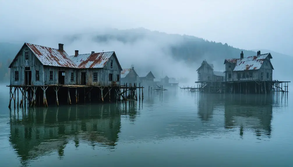
Planning a ghost town road trip to Loyston, Tennessee means heading to the eastern shore of Norris Lake in Union County, where you won’t find crumbling buildings or overgrown streets—you’ll find open water. TVA’s Norris Dam flooded this Appalachian community in the mid-1930s, submerging roughly 70 families’ homes beneath what’s now called the Loyston Sea. Launch a kayak, trace the shoreline, or visit Big Ridge State Park nearby, and there’s a whole layered story waiting just beneath the surface.
Key Takeaways
- Loyston, Tennessee, is a submerged ghost town flooded by the TVA in the 1930s to create Norris Lake, Union County.
- Access the site via US-33 north from Knoxville, heading toward Maynardville and Big Ridge State Park for shoreline views.
- Key access points include Big Ridge State Park, Maynardville boat ramps, and private marinas for water-based exploration.
- Visitors can boat, kayak, or hike ridgelines over the Loyston Sea, where the town rests roughly 90 feet underwater.
- Lewis Hine’s 1933 photographs document pre-flood Loyston, offering essential historical context before or during your visit.
What Was Loyston Before It Disappeared?
Before it vanished beneath Norris Lake, Loyston was a functioning rural community in Union County, Tennessee, with homes, a post office, churches, a school, and small businesses serving the farming families who called it home.
By the 1930s, roughly 70 residents kept this small trading center alive, building a life rooted in Appalachian tradition and self-reliance.
When TVA’s dam construction erased it mid-decade, Loyston didn’t just disappear physically — it transformed into one of Tennessee’s most compelling folklore narratives.
Urban legends grew around what was lost beneath the water, fueling curiosity about the submerged streets and structures below.
You’re not visiting crumbling ruins here. You’re tracing the outline of a complete, living community that the reservoir swallowed whole, and that story hits differently than any standing ghost town can.
How TVA’s Norris Dam Erased a Tennessee Town
The TVA didn’t just build a dam — it rewrote the map. When Norris Dam went up in the mid-1930s, rising waters swallowed Loyston whole, erasing homes, churches, a post office, and generations of community life. You’re not dealing with urban legends here — this erasure was documented, deliberate, and permanent.
Roughly 70 residents lost everything to a federal infrastructure project reshaping Appalachian Tennessee.
Roughly 70 families surrendered everything — homes, roots, and history — to federal ambition that reshaped Appalachian Tennessee forever.
Cultural preservation wasn’t a priority then. Families packed what they could and left. Photographer Lewis Wickes Hine captured Loyston in 1933, giving future generations rare visual evidence of what vanished beneath Norris Lake.
That documentation matters, because nothing remains above water today. When you visit the Loyston Sea, you’re standing at the edge of a place that federal ambition quietly buried forever.
What Is the Loyston Sea on Norris Lake?
Norris Lake swallowed Loyston whole, and what remains is a quiet inlet locals call the Loyston Sea. This flooded pocket of Norris Lake marks where historical architecture, community life, and Appalachian roots vanished beneath TVA’s flood management ambitions. You won’t find standing walls or walkable streets here, but the water itself tells the story.
Here’s what makes the Loyston Sea worth your stop:
- The submerged town sits roughly 90 feet underwater, completely intact in imagination if not in structure.
- The inlet offers some of the lake’s most reflective, story-rich scenery for boaters and history seekers.
- Big Ridge State Park sits nearby, giving you a solid land-based anchor for your exploration.
The Loyston Sea rewards curiosity, not just sightseeing.
Where Exactly Is the Loyston Ghost Town Site?
Pinpointing Loyston’s exact location takes you to the eastern stretch of Norris Lake in Union County, Tennessee, close to Maynardville and Big Ridge State Park. The original town site sits roughly 90 feet beneath the lake’s surface, submerged since the mid-1930s when TVA flooded the valley to create Norris Dam.
You won’t walk its streets, but you’ll stand at the edge of a place where cultural preservation efforts and pre-flood photography keep the memory alive. Lewis Hine captured historical artifacts of daily life here before the water rose, giving you a rare window into what vanished.
Launch a boat onto the Loyston Sea inlet, scan the water, and let the landscape remind you that entire communities once thrived exactly where you’re floating.
How to Get to Loyston on Norris Lake
To reach the Loyston Sea area on Norris Lake, you’ll want to use Maynardville in Union County as your primary hub, since it sits closest to the submerged town site.
From Knoxville, take US-33 north for roughly 25 miles until you reach the lake region, where several access roads branch toward the shoreline.
Big Ridge State Park also serves as a practical entry point, and its well-marked roads make exploring the surrounding lake landscape straightforward.
Nearest Town Access Points
Since Loyston now rests beneath Norris Lake, you’ll need to approach the site by water or shoreline rather than by road. Several access points put you close to the Loyston Sea, where urban legends about submerged buildings still circulate among locals and divers. Preservation efforts remain limited, so your experience depends on how well you navigate the surrounding landscape.
Here are three access points worth knowing:
- Big Ridge State Park – Offers shoreline access, boat launches, and trails near the historic flood zone.
- Maynardville boat ramps – Union County’s county seat provides quick lake access with minimal hassle.
- Norris Lake marina facilities – Several private marinas offer rentals if you’re arriving without your own boat.
Driving Routes To Consider
Reaching Loyston’s submerged footprint means traversing East Tennessee’s winding lake country roads, but the drive itself sets the tone for the historical experience ahead.
From Knoxville, take US-33 North toward Maynardville, the Union County seat that serves as your primary orientation point. From there, follow local roads toward Norris Lake’s shoreline and the Loyston Sea inlet.
If you’re approaching from the south, Highway 61 connects you efficiently through the reservoir landscape. Big Ridge State Park Road offers a scenic alternate route worth taking.
Along the way, you’ll pass through communities still shaped by TVA displacement, where urban legends and folklore about drowned towns persist among locals. Let those stories sharpen your attention as the lake comes into view.
What to Expect at the Loyston Site: No Ruins, All History
When you arrive at the Loyston site, don’t expect crumbling walls, rusted signage, or dusty storefronts — there’s nothing left above water to see. Roughly 90 feet below Norris Lake’s surface, an entire community rests silently. Local folklore keeps Loyston’s memory alive despite the preservation challenges that come with a submerged history.
What you *will* experience makes the trip worthwhile:
- Sweeping lake views over the Loyston Sea, where streets and homes once stood
- A powerful historical reckoning with TVA-era displacement and Appalachian resilience
- Nearby Big Ridge State Park, offering trails and shoreline access that frame the vanished town’s former landscape
You’re not chasing ruins here — you’re chasing memory, and that’s a different kind of adventure entirely.
The Best Time of Year to Visit Loyston, Tennessee
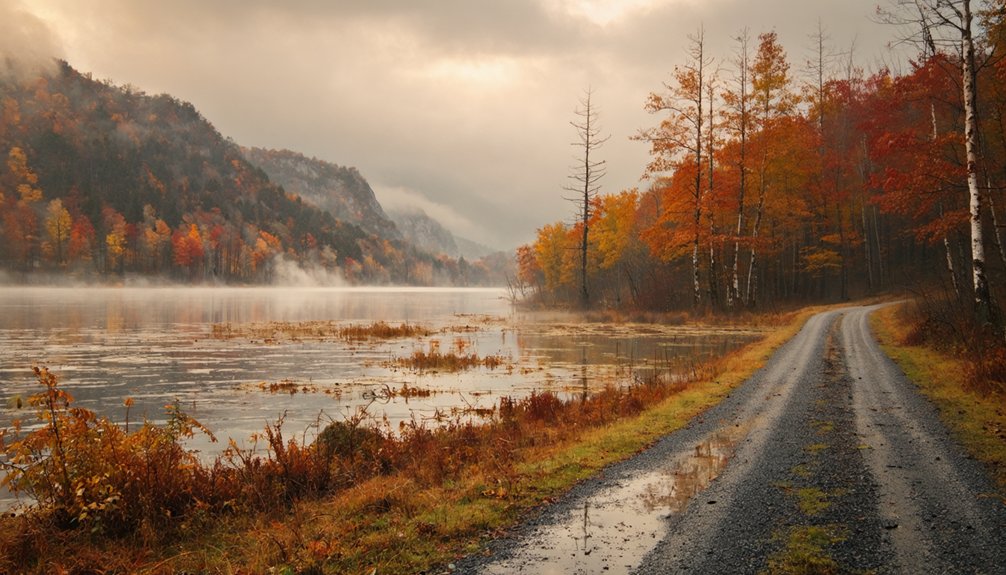
Each season brings something different to a Loyston road trip, so your timing shapes the whole experience. Summer’s warm months make the Loyston Sea ideal for boating and fishing above the submerged town.
While in fall, the shoreline is wrapped in vivid color that rewards any scenic stop. If you visit in winter, you’ll find fewer crowds and clearer sightlines across the lake, giving you an unobstructed sense of just how vast the flooded landscape really is.
Summer For Lake Activities
Summer is the best time to plan your road trip to the Loyston Sea, where warm temperatures and calm waters make boating and fishing across Norris Lake genuinely enjoyable. You’ll find the flooded ghost town beneath you as you explore the water, making every moment feel charged with hidden history.
Pack your itinerary with these three essentials:
- Boat the Loyston Sea – Glide directly over the submerged town site and reflect on community stories passed down through generations.
- Explore Big Ridge State Park – Hike trails that connect you to the broader TVA displacement history.
- Research historical photographs – Lewis Hine’s pre-flood documentation gives you vivid context before you arrive.
Summer transforms this heritage stop into a full outdoor adventure worth every mile driven.
Fall For Scenic Views
Fall transforms the Norris Lake shoreline into a canvas of amber, crimson, and gold, making it the best season to visit the Loyston Sea if you want striking scenery alongside the area’s layered history. The crowds thin out after summer, giving you space to explore at your own pace.
Stand at the water’s edge and imagine the historical architecture that once defined this small Tennessee community now resting roughly 90 feet below the surface. Local legends about displaced families and vanished streets hit differently when the quiet autumn air surrounds you.
Big Ridge State Park adds another dimension to the fall visit, offering wooded trails framed by brilliant foliage. You’ll leave with both breathtaking photos and a deeper connection to Loyston’s story.
Winter For Clearer Sightlines
Winter strips the trees bare along Norris Lake’s shoreline, and that’s exactly why it’s worth the trip to the Loyston Sea. Without summer foliage blocking your view, you’ll spot more of the lake’s contours and imagine where Loyston’s streets, homes, and businesses once stood beneath the surface.
Before you go, keep these three things in mind:
- Study historical photography by Lewis Hine from 1933 to visualize the town before you arrive.
- Research town demographics — roughly 70 residents supported a post office, churches, and schools in this small but complete community.
- Bring binoculars to scan the exposed winter shoreline for clearer sightlines across the Loyston Sea.
Winter turns this heritage road trip into something sharper, quieter, and more revealing.
Why Big Ridge State Park Belongs on This Route
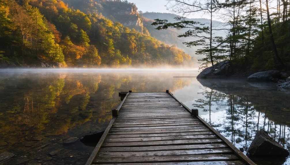
Because no visible ruins mark Loyston’s original site, Big Ridge State Park steps in as the most rewarding physical stop on this route. You’ll find trails cutting through dense forest above Norris Lake, with water views that stretch toward the Loyston Sea below.
The park carries its own urban legends and folklore stories tied to the TVA displacement era, giving you layered history alongside the scenery. Locals sometimes whisper about ghostly remnants beneath the surface, adding an eerie dimension worth chasing.
You can launch a kayak, hike the ridgelines, or simply stand at the shoreline knowing a whole town rests beneath the water. Big Ridge transforms an otherwise invisible ghost town stop into something you can genuinely explore and feel.
How Loyston Fits Into Tennessee’s Broader Flood Ghost Town History
Loyston isn’t an isolated story — it’s one chapter in a much larger pattern of TVA-era flooding that erased dozens of Appalachian communities across Tennessee. Towns like Wheat and Blockhouse vanished beneath reservoirs just as Loyston did, their histories swallowed alongside the land.
When you visit the Loyston Sea, you’re standing at the edge of a statewide story about displacement, memory, and the cost of progress for the people who called these hollows home.
TVA’s Statewide Flooding Impact
While Loyston’s story feels deeply personal, it’s far from unique in Tennessee’s history. TVA’s dam projects reshaped entire regions, trading cultural preservation for hydroelectric progress. The environmental impact stretched across valleys, rivers, and rural communities throughout the state.
You’re tracing a pattern when you visit Loyston — one repeated across Tennessee:
- Norris Dam submerged multiple communities in Union and Campbell counties during the mid-1930s.
- Watts Bar Lake displaced residents across Rhea and Meigs counties when TVA flooded the Tennessee River corridor.
- Chickamauga Lake erased farmsteads and settlements across Hamilton and Meigs counties by 1940.
Each site tells a story of displacement, lost heritage, and landscape transformation. Loyston connects you to that larger reckoning — a statewide history written beneath still water.
Other Submerged Tennessee Towns
Tennessee holds more than one drowned town beneath its lakes, and Loyston is just one chapter in a longer, quieter story. Dozens of communities across the state vanished under TVA reservoirs, each carrying its own cultural preservation challenges and unanswered questions.
Towns like Tims Ford and areas near Watts Bar share similar fates, swallowed by progress and power generation. The environmental impact reshaped entire valleys, erasing roads, cemeteries, and generations of local memory.
When you visit Loyston’s flooded shoreline, you’re standing at the edge of something much larger than one town’s story. Tennessee’s underwater history runs deep, and understanding that broader pattern makes your road trip feel less like sightseeing and more like bearing witness to a transformation that changed Appalachian life forever.
Displacement And Appalachian Memory
When the TVA flooded Loyston in the mid-1930s, it didn’t just erase a town — it severed a community’s living connection to the land, the people, and the routines that had shaped Appalachian life for over a century. That environmental impact still echoes across the region today. Visiting this site means stepping into that history deliberately.
Three reasons Loyston’s story matters beyond the waterline:
- Cultural remembrance keeps displaced Appalachian voices alive when the landscape no longer can.
- Loyston mirrors dozens of other flooded communities, making it part of a regional pattern worth understanding.
- Lewis Hine’s pre-flood photography preserves what water erased, giving you a rare visual window into the vanished town.
You’re not just sightseeing — you’re bearing witness.
Where to Find Loyston’s History Before You Make the Drive
Before you hit the road, digging into Loyston’s backstory will make the drive far more rewarding. Start with Lewis Wickes Hine’s historical documentation from 1933, which captured the town before TVA’s floodwaters erased it. His photographs show homes, streets, and ordinary life that now rest roughly 90 feet underwater. You’ll find his work through the Library of Congress digital archives, accessible from anywhere.
Local legends fill in what photographs miss. Union County residents have passed down stories about displaced families, vanished churches, and a community swallowed whole by progress. Tap into those accounts through East Tennessee historical societies and online forums dedicated to Appalachian heritage.
Reading before you drive transforms the Loyston Sea from a quiet inlet into something you’ll actually feel standing at the shoreline.
Frequently Asked Questions
Can You Swim or Dive Near the Submerged Loyston Town Site?
Like a time capsule sealed beneath the waves, you can explore the Loyston Sea through underwater exploration and diving. Always prioritize diving safety, as the submerged town rests roughly 90 feet deep in Norris Lake.
Are There Any Camping Options Directly on the Loyston Sea?
You won’t find lakeside campsites directly on the Loyston Sea due to camping restrictions, but Big Ridge State Park sits nearby, offering you a rugged, adventurous basecamp to explore this hauntingly beautiful, sunken ghost town region freely.
Did Loyston Residents Receive Compensation When TVA Displaced Them?
TVA’s historical displacement of Loyston residents did include compensation policies, but you’ll find the payouts were often minimal and controversial. Many families felt the offered amounts didn’t truly reflect what they’d lost forever beneath those rising waters.
Is There a Museum Dedicated Specifically to Loyston’s History Nearby?
You won’t find a museum dedicated specifically to Loyston, but you’ll discover historical artifacts and local legends at nearby Big Ridge State Park, where the region’s TVA displacement story comes alive through exhibits and interpretive trails.
What Other Submerged Ghost Towns Are Close to Loyston on This Route?
Several submerged secrets share Tennessee’s tangled waters near Loyston! You’ll find local legends tied to other TVA-flooded communities throughout Norris Lake’s historical preservation trail, letting you freely explore East Tennessee’s drowned Appalachian past along your adventurous route.
References
- https://en.wikipedia.org/wiki/Loyston
- https://tnmuseum.org/junior-curators/posts/underwater-ghost-towns-of-tennessee
- https://www.onlyinyourstate.com/experiences/tennessee/tn-ghost-town
- https://7feetnorth.com/2018/04/16/the-underwater-ghost-town/
- https://www.thewanderingappalachian.com/post/the-underwater-towns-of-appalachia
- https://www.youtube.com/watch?v=zXHBE2VNlk8
- https://www.tnmagazine.org/tennessees-underwater-ghost-towns/
- https://loyhistory.com/a-revisit-to-old-loyston/
- https://www.tnvacation.com/trip-inspiration/articles/ghost-towns-tennessee
- https://www.youtube.com/watch?v=J0SUqpsJAhM