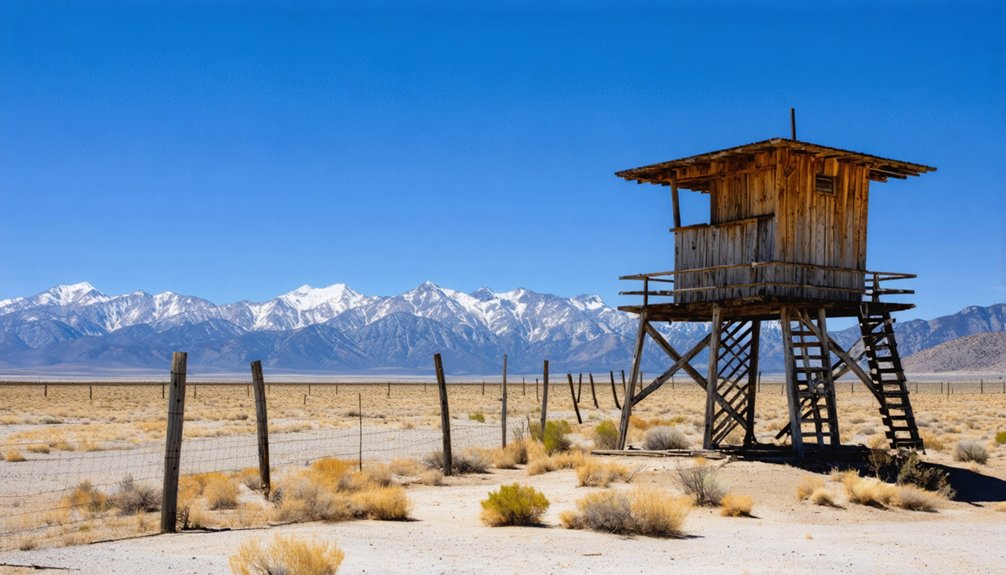
Planning a ghost town road trip to Manzanar means driving roughly 220 miles north of Los Angeles on Highway 395, past Joshua trees and Sierra Nevada peaks. You’ll arrive at a site where over 10,000 Japanese Americans were once confined within a single square mile. The grounds open daily at sunrise, and a free 3.2-mile auto tour map awaits you inside. There’s far more to this haunting landscape than first meets the eye.
Key Takeaways
- Manzanar is located near Lone Pine, California, roughly 220 miles from Los Angeles via Highway 395 North, about a 3.5-hour drive.
- The visitor center operates Friday–Monday, 11:00 AM–4:00 PM, while the grounds remain accessible daily from sunrise to sunset.
- A free auto tour map guides visitors along a 3.2-mile route past original structures, rock gardens, and reconstructed barracks.
- Pack layers, sturdy footwear, water, and sun protection to handle unpredictable high desert weather and dry conditions.
- Key landmarks include the Soul Consoling Tower, reconstructed Block 14, and a display listing all 10,000+ internee names.
Manzanar’s Place in Japanese American History
When President Franklin Roosevelt signed Executive Order 9066 just three months after Pearl Harbor, he set in motion one of the most painful chapters in American history. With a stroke of a pen, roughly 120,000 people—two-thirds of them American citizens—were forcibly stripped of their freedom and relocated to camps like Manzanar.
120,000 people lost their freedom with a single signature—two-thirds of them American citizens.
You’re walking ground where 10,000 Japanese Americans lived confined within a single square mile, their rights suspended not by crime but by fear.
Designated a National Historic Site in 1992, Manzanar now stands as a monument to cultural preservation and historical education. Visiting here isn’t just sightseeing—it’s a confrontation with what happens when a nation abandons its own principles.
You owe it to yourself to understand that history firsthand.
The Forced Relocation History That Shaped Manzanar
When you visit Manzanar, you’re standing on ground shaped by one of America’s most troubling decisions — Executive Order 9066, signed by President Franklin Roosevelt just three months after Pearl Harbor. That single executive action set in motion the forced relocation of roughly 120,000 people across the country.
Two-thirds of those people were American citizens. You’ll feel the weight of that number as you walk the site, knowing Manzanar alone held 10,000 of those lives within its one-square-mile boundary.
Executive Order 9066 Origins
Three months after Pearl Harbor, President Franklin Roosevelt signed Executive Order 9066, setting in motion one of the most sweeping forced relocations in American history. With a stroke of a pen, the government stripped roughly 120,000 people of their freedom, two-thirds of them American citizens.
You’ll feel the weight of that decision the moment you arrive at Manzanar, surrounded by stark rock formations and resilient desert flora that outlasted the injustice imposed here. Ten War Relocation Centers opened across the country, and Manzanar became one of the most notorious.
The order didn’t target enemy combatants; it targeted families, farmers, teachers, and children, simply because of their ancestry. Understanding that origin makes every step you take across these grounds profoundly meaningful.
120,000 Americans Relocated
Across the United States, 120,000 people were uprooted from their homes, businesses, and communities in a matter of weeks, their lives reduced to whatever they could carry. Two-thirds of them were American citizens — people who’d built lives, raised families, and paid taxes in the country now imprisoning them.
They came from California, Oregon, and Washington, stripped of their freedom under Executive Order 9066. Yet even inside barbed wire, they refused to surrender their identity. Cultural preservation became an act of resistance — they planted gardens, published newspapers, and maintained community resilience through cooperatives, schools, and shared rituals.
When you walk Manzanar’s grounds today, you’re walking through the story of people who lost nearly everything but held tightly to who they were.
How Far Is Manzanar From Los Angeles and Reno?
If you’re coming from Los Angeles, you’ll follow Highway 395 North for roughly 220 miles, arriving in about 3.5 hours.
From Reno, Nevada, the same highway carries you south for approximately 252 miles, a drive of around 4.5 hours.
Either way, Highway 395 is your lifeline through the high desert, threading past dramatic Sierra Nevada scenery before depositing you just north of Lone Pine.
Los Angeles Driving Distance
Whether you’re departing from Los Angeles or Reno, Manzanar sits within a manageable day’s drive along Highway 395. From Los Angeles, you’re looking at roughly 220 miles heading north, a journey that takes approximately 3.5 hours.
As the urban sprawl fades behind you, the landscape transforms dramatically, pulling you toward the high desert where cultural preservation becomes tangible through architectural remnants frozen in time.
Highway 395 carries you past the eastern Sierra Nevada range, delivering you just north of Lone Pine. That drive itself feels intentional — the widening sky and retreating city quietly prepare you for what Manzanar represents.
You’re not just covering distance; you’re crossing into a corridor of American history that demands your full attention upon arrival.
Reno Driving Distance
Travelers heading south from Reno follow Highway 395 for roughly 252 miles, a drive that clocks in around 4.5 hours. You’ll cut through Nevada’s wide-open basin country before crossing into California’s eastern Sierra corridor, where Manzanar’s history emerges from the desert floor.
This route rewards those drawn to cultural preservation and community stories etched into forgotten landscapes.
Pack smart before leaving Reno:
- Water and layers — high desert weather shifts without warning
- A full tank — fuel stops thin out along Highway 395
- Your camera — the Sierra Nevada backdrop is relentless in its beauty
- Comfortable shoes — uneven ground awaits beyond the pavement
You’re not just driving south. You’re tracing a corridor where freedom was stripped from 10,000 Americans, and where their stories still demand your attention.
Highway 395 Route
Highway 395 is your spine for this journey, whether you’re launching from Los Angeles or dropping down from Reno. From LA, you’re looking at roughly 220 miles and 3.5 hours heading north, the highway unspooling through high desert terrain that grows wilder and more humbling with every mile.
From Reno, expect about 252 miles and 4.5 hours pushing south. Both routes deposit you just north of Lone Pine, where Manzanar waits between mountain and memory.
The drive itself primes you — vast skies, stark geology, and roadside artistic murals in small towns hint at the human stories embedded in this corridor.
Arrive hungry if you like; exploring camp cuisine history inside the mess hall exhibit hits differently after hours on an open road.
Plan Your Visit Around Manzanar’s Hours and Access
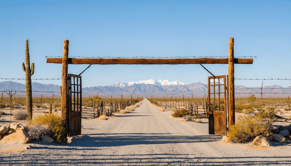
Tucked just off Highway 395 between Independence and Lone Pine, Manzanar National Historic Site keeps hours worth planning around before you hit the road. The visitor center opens Friday through Monday, 11:00 AM to 4:00 PM, supporting cultural preservation and honoring memorial ceremonies year-round.
However, the grounds stay open from sunrise to sunset daily, giving you uninterrupted freedom to explore.
Plan smart with these key access facts:
- Visitor center: Open Friday–Monday, 11:00 AM–4:00 PM; closed Tuesday–Thursday
- Grounds access: Sunrise to sunset, every day
- Auto tour map: Pick one up at the visitor center before driving
- Entry and parking: Completely free
Arrive early, grab your map, and let the high desert silence set the tone before you roll through history.
What You’ll See on the 3.2-Mile Auto Tour?
Once you’ve grabbed your map from the visitor center, the 3.2-mile auto tour loop pulls you directly into what’s left of Manzanar’s physical footprint. You’ll pass original sentry posts, uncovered foundations of the Children’s Village orphanage, and eleven Japanese rock gardens — quiet acts of cultural preservation carved by hands that refused to surrender beauty under confinement.
The architectural remnants of the hospital, administrative complex, and orchards emerge along the route, each telling a fragment of daily survival. Block 14 holds two reconstructed barracks and a remodeled mess hall, giving you a tangible sense of how compressed and controlled life was here.
At the cemetery, the Soul Consoling Tower stands as the site’s most enduring monument — a marker for 146 people who never left.
Inside the Manzanar Visitor Center and Museum
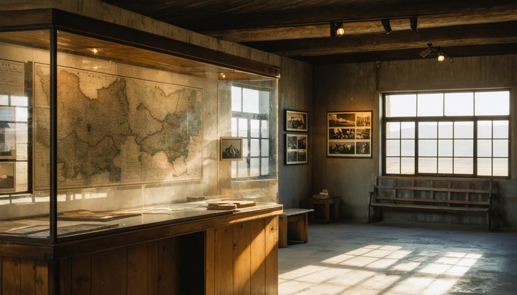
Before you start the auto tour, the visitor center grounds you in the full weight of what Manzanar actually was. Oral histories, art installations, and artifacts transform statistics into human lives stripped of their freedom behind barbed wire.
Inside, you’ll find:
- Historic photographs and audiovisual programs documenting daily life under forced confinement
- A scale model crafted by former incarcerated people, showing the camp’s full one-square-mile layout
- A graphic display listing all 10,000+ names of Japanese Americans held here
- Exhibits covering housing conditions, the loyalty questionnaire, food systems, and camp schools
Block 14 brings it further to life with two reconstructed barracks, a women’s latrine, and a remodeled mess hall. Entry remains completely free, so there’s no reason to skip it.
What Life Was Really Like Inside Manzanar?
The exhibits and reconstructed buildings give you a frame — but the numbers behind them are what truly press down on you. Over 10,000 people were compressed into a single square mile. Eight individuals were crammed into one cell measuring barely 20 by 25 feet. Privacy didn’t exist. Shared bathrooms, paper-thin walls, and desert winds cutting through barrack gaps defined daily existence.
Yet community resilience took root inside those constraints. Internees launched a camp newspaper, opened barber shops, built beauty parlors, and formed cooperatives. Cultural preservation persisted through rock gardens, craftsmanship, and cooperative labor — acts of quiet defiance against forced erasure.
146 people never left. Walking these grounds, you feel the weight of what was stolen from people who called themselves Americans, because they were.
What to Pack for the High Desert at Manzanar
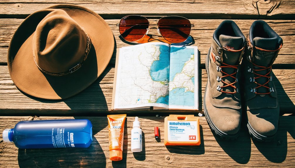
Manzanar sits in high desert terrain where the weather shifts without warning — sun-scorched one hour, wind-whipped the next — so pack layers you can strip or stack quickly.
The desert doesn’t ease you in — it hits hard, shifts fast, and rewards only those who come ready.
The desert flora isn’t forgiving either; scrubby brush and uneven rocky ground demand sturdy footwear that keeps you sure-footed across every crumbling foundation you’ll explore.
Pack these essentials before you go:
- Layers — a light jacket handles sudden wind shifts fast
- Water — the dry air drains you quicker than you’ll notice
- Sun protection — hat, sunscreen, and sunglasses are non-negotiable
- Closed-toe shoes — uneven terrain and campfire safety awareness around dry desert flora demand grip and coverage
Move freely through the site — but move prepared.
Road, Wildlife, and Access Rules at Manzanar
Gear loaded and boots laced, you’re ready to move — but knowing how to move through Manzanar matters just as much as what you’re wearing. Keep your vehicle and bicycle strictly on established roads — no cutting across desert flora, no improvised shortcuts. The land holds fragile history beneath its surface.
Wildlife roams freely here, so stay alert and keep respectful distance. The grounds open at sunrise and close at sunset, which means night photography isn’t permitted — save that creative pursuit for camp outside the site’s boundaries.
Pick up a map at the visitor center before starting the 3.2-mile auto tour; don’t assume you’ll navigate without one. These rules aren’t restrictions — they’re the framework that keeps this open, honest ground intact for every traveler who follows you.
Frequently Asked Questions
Is Manzanar Suitable for Young Children or School Group Visits?
Yes, Manzanar welcomes young children and school groups! You’ll find family friendly activities throughout the self-guided auto tour and educational programs that powerfully illuminate Japanese American history, inspiring young minds to cherish freedom and justice.
Are Pets Allowed on the Manzanar Grounds or Auto Tour?
The knowledge base doesn’t specify pet policies for Manzanar. Before you load your furry companion for auto tour access along the 3.2-mile loop, you’ll want to contact the visitor center directly to confirm current rules.
Can Visitors Access Manzanar Using Public Transportation or Bus Routes?
Like a lone tumbleweed, you’re on your own here — no public transit options or bus route details serve Manzanar. You’ll need your own vehicle to navigate Highway 395 and reach this remote high desert site.
Is the Manzanar Auto Tour Road Paved and Accessible for All Vehicles?
You’ll navigate a 3.2-mile self-guided road where vehicle accessibility meets history. Road conditions suit standard vehicles, but you’re restricted to established paths — no off-road adventures allowed. Grab your map and let freedom guide you through Manzanar’s haunting landscape.
Are Photography and Filming Permitted Throughout the Manzanar Historic Site?
Imagine capturing the Soul Consoling Tower at golden hour — you’re free to do it. Photography regulations here welcome your lens, and no filming permits restrict your creative spirit throughout Manzanar’s open, sunrise-to-sunset grounds.
References
- https://www.nps.gov/thingstodo/driving-biking-and-walking-at-manzanar.htm
- https://www.youtube.com/watch?v=ULKoseUWfIQ
- https://www.youtube.com/watch?v=nCilxK80PEo
- https://www.nps.gov/manz/planyourvisit/trip-plans.htm
- https://southtahoenow.com/11/29/2014/road-trip-manzanar-national-historic-site
- https://scenic395.com/towns/independence/manzanar-stands-on-highway-395-as-an-important-lesson-to-this-day/
- https://www.inkedwithwanderlust.com/california/manzanar
- https://thecrankycamper.com/2025/09/22/manzanar/
- http://www.roamtowonder.com/ghosts-of-war-manzanar-national-historic-site/



