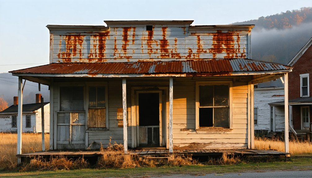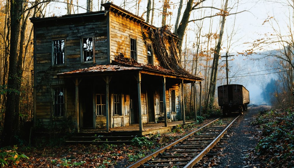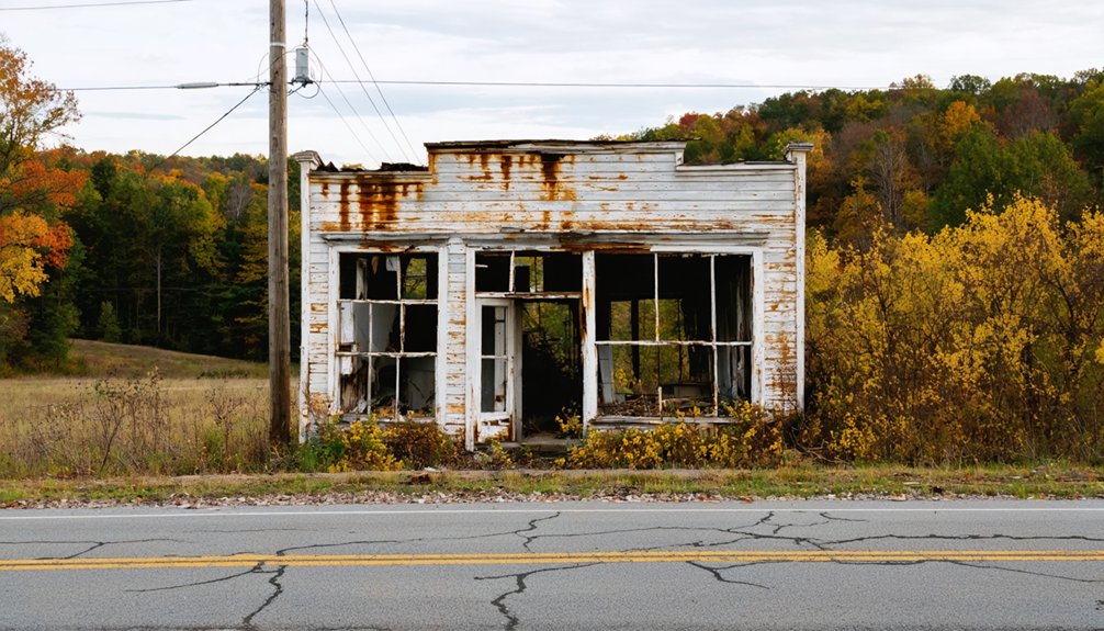
Planning a ghost town road trip to Dog Trot, Kentucky means preparing before you leave, because nothing at this vanished coal town will help you once you’re there. You’ll navigate using GPS coordinates (37.97167°N, 83.69444°W), since no signs or structures remain—the land has quietly swallowed everything. Visit in late spring or early fall for the best conditions, pack emergency supplies, and download offline maps. There’s far more to this forgotten place than silence if you know where to look.
Key Takeaways
- Dog Trot, Kentucky, is a vanished coal town with no structures remaining; nature has completely reclaimed the land.
- Use GPS coordinates 37.97167°N, 83.69444°W and download offline maps, as cell service is unreliable in the area.
- Visit during late spring or early fall to enjoy wildflowers or foliage while avoiding hazardous summer storms and winter ice.
- Pack emergency supplies, a satellite communicator, paper maps, and backup power, as no amenities or rescue infrastructure exist nearby.
- Document overgrown clearings, soil disturbances, and subtle grade changes that hint at former structures and the town’s lost history.
Why Dog Trot Disappeared: and Why People Still Go
Like so many eastern Kentucky coal towns, Dog Trot didn’t fade gradually — it vanished. When the coal industry collapsed, it took entire communities with it — buildings, people, and purpose all disappeared together.
Dog Trot’s historical significance lies in what it represents: a way of life that once defined this rugged region and then evaporated almost without a trace.
Yet people still come. You’re drawn here not by tourist infrastructure or guided tours, but by something rawer — the cultural impact of absence itself.
Standing at coordinates where a community once breathed, you feel the weight of forgotten labor and lost identity.
Dog Trot doesn’t offer comfort or convenience. It offers truth.
And for travelers who value genuine discovery over manufactured experience, that’s more than enough reason to make the drive.
How to Find Dog Trot Using GPS Coordinates
Since Dog Trot has completely vanished — no signs, no structures, no markers of any kind — your only reliable way in is through GPS coordinates: 37.97167°N, 83.69444°W. Plug them in before you lose cell service, because you’ll lose it.
This isn’t a curated experience. You’re orienteering raw eastern Kentucky terrain to reach a place whose historical significance lives mostly in silence and local legends passed between old-timers.
Come prepared:
- Download offline maps — cell dead zones swallow entire stretches of Menifee County
- Fill your tank before leaving any populated center — gas stations disappear fast out here
- Trust your GPS over road signs — there aren’t any
You’re not following a trail. You’re reclaiming forgotten ground on your own terms.
No Structures, No Signs: What’s Actually Left at Dog Trot
When you arrive at Dog Trot’s coordinates, you’ll find exactly what the history books imply — nothing. No structures stand, no signs mark the spot, and no historical artifacts remain visible above ground. The land has reclaimed everything.
What once housed a coal-era community now looks indistinguishable from the surrounding eastern Kentucky wilderness.
That erasure carries its own weight. Local legends suggest names like “Dog Trot” weren’t arbitrary — they reflected real daily life, real people moving through narrow passages between buildings that no longer exist.
You’re standing on layered history without a single marker to confirm it.
Bring your curiosity, but adjust your expectations. Dog Trot rewards those who appreciate raw, unfiltered freedom over polished tourist experiences. The silence itself tells the story.
Best Time of Year to Drive to Dog Trot
You’ll find late spring and early fall offer the best conditions for reaching Dog Trot, when dry roads and mild temperatures make traversing Menifee County’s remote terrain far more manageable.
Summer thunderstorms can quickly turn unpaved rural roads into muddy obstacles, while winter ice and snow can make the same routes outright dangerous.
Plan your visit between May and June or September and October to maximize both road access and your overall experience.
Ideal Visiting Seasons
Late spring and early fall are your best bets for driving out to Dog Trot, when eastern Kentucky’s roads are driest and the weather’s mild enough to make exploring on foot bearable. Summer heat and winter ice both punish these remote, unmaintained routes hard.
Choose your window wisely to honor the cultural significance of what once stood here:
- April–May: Wildflowers reclaim the land, softening the silence of abandonment
- September–October: Crisp air and vivid foliage frame the emptiness beautifully
- Avoid December–February: Ice and mud can strand you miles from help
Preservation efforts for vanished towns like Dog Trot exist only in memory and documentation. Visiting during ideal conditions means you’re there to witness, not just survive the drive.
Weather And Road Conditions
Knowing when to go is only half the equation — understanding what the roads actually do in each season keeps you from turning a history-hunting detour into a roadside emergency.
Eastern Kentucky’s unpaved rural routes soften dramatically after heavy rain, turning manageable dirt paths into muddy traps. Winter ice compounds that danger, cutting off sites that carry real historical significance to Appalachian coal culture.
Spring thaws bring flooding risks along low-lying hollows. Summer offers your most reliable window — firm ground, longer daylight, and easier navigation by GPS coordinates.
Fall delivers stunning foliage but watch for early frost. Dog Trot’s cultural impact as a vanished coal community deserves a proper visit, not a stuck vehicle.
Pack recovery gear, check forecasts, and always fuel up before heading into Menifee County’s backcountry.
Pack This Before You Leave for Dog Trot

Before you head out to Dog Trot, you’ll want to pack crucial survival gear since no amenities, services, or rescue infrastructure exist anywhere near the site.
Load your vehicle with emergency supplies like water, food, a first aid kit, and fuel, because the remote Menifee County terrain can leave you stranded fast.
You’ll also need reliable GPS loaded with the coordinates 37.97167°N, 83.69444°W, along with a backup paper map and a satellite communicator since cell service in eastern Kentucky’s hollows is fundamentally nonexistent.
Essential Survival Gear
Packing the right gear can make or break your trip to Dog Trot, where you’ll find no gas stations, no cell towers, and no help if something goes wrong. Eastern Kentucky’s remote terrain demands serious preparation before you chase down community stories buried beneath overgrown hills.
Bring these essentials or risk turning freedom into a nightmare:
- Offline GPS and paper maps — cell service vanishes fast, and you’ll navigate by coordinates alone (37.97167°N, 83.69444°W)
- Emergency food, water, and a first aid kit — historical preservation trips don’t come with rescue services
- All-weather gear and a spare tire — unpaved roads flood, erode, and punish unprepared vehicles without warning
Respect the land, honor what’s left, and arrive ready for whatever Dog Trot’s silence throws at you.
Gear fills your trunk, but without the right navigation and communication tools, you’re just driving blind into Menifee County’s hills. Dog Trot’s GPS coordinates — 37.97167°N, 83.69444°W — are your lifeline since no signage marks this vanished community’s cultural significance or its place among Kentucky’s historical landmarks.
Download offline maps before leaving civilization; cell service disappears fast out here. A satellite communicator like a Garmin inReach lets you call for help when towers can’t reach you. Carry a paper topographic map as backup because technology fails on rough terrain.
A battery pack keeps your devices alive during long stretches between towns. Freedom means exploring remote places confidently, not getting stranded because you trusted a single app on a dead phone.
Nearby Ghost Towns Worth Adding to Your Route
Since you’re already venturing into eastern Kentucky’s remote backcountry, you’d be missing out if you didn’t extend your route to include a few equally haunting stops. Each nearby ghost town carries its own historical significance and local legends that’ll deepen your appreciation for this vanished world:
- Bear Wallow – A forgotten Menifee County settlement where silence now replaces what was once a living community.
- Hell for Certain – The name alone sparks curiosity, and its abandoned past delivers on that dark promise.
- Blue Heron – Unlike Dog Trot, this coal ghost town offers National Park Service guided tours along a preserved railroad corridor.
These stops transform a single destination into a full journey through Kentucky’s raw, untamed, and beautifully forgotten history.
Photos, GPS Logs, and Notes Worth Taking at Dog Trot

Documenting a visit to Dog Trot demands more intention than a typical road trip stop, because there’s nothing left to orient you once you arrive. Log your GPS coordinates (37.97167°N, 83.69444°W) before leaving your vehicle, since the terrain offers no landmarks to guide your return.
At Dog Trot, log your GPS coordinates before stepping out — the landscape offers nothing to guide your return.
Capture photographic opportunities in the surrounding landscape — overgrown clearings, degraded road traces, and soil disturbances can hint at where structures once stood. Even absent historical artifacts, the emptiness itself tells a story worth photographing.
Take written notes on vegetation patterns, road conditions, and any subtle grade changes that suggest former foundations. Record timestamps alongside your images.
This raw documentation becomes your personal archive of a place history has largely forgotten, and it honors the freedom of exploring Kentucky’s vanished communities on your own terms.
Frequently Asked Questions
Is a Permit Required to Visit Dog Trot’s Unincorporated Land in Kentucky?
Like a forgotten trail left open to wanderers, no permit’s required for historical preservation or visitor regulations at Dog Trot. You’re free to explore this vanished Kentucky community using GPS coordinates at your own liberty.
What County Roads Officially Border the Dog Trot Ghost Town Site?
No documented records confirm which county roads officially border Dog Trot’s ghost town boundary. You’ll need to rely on GPS coordinates (37.97167°N, 83.69444°W) and explore Menifee County’s rural routes independently for accurate navigation.
Are There Any Local Historians or Guides Specializing in Menifee County Ghost Towns?
Ironically, no official guides exist, but you’ll find local historian insights tucked in Menifee County libraries and community Facebook groups, where passionate locals enthusiastically share ghost town stories about Dog Trot’s vanished past with freedom-seeking explorers like you.
Has Dog Trot Ever Appeared in Kentucky Ghost Town Documentaries or Films?
You won’t find Dog Trot featured in Kentucky ghost town documentaries or known filming locations. Its ghost town history remains largely undocumented, but that mystery makes your road trip adventure even more thrillingly uncharted and free.
Does Private Land Ownership Restrict Access to the Dog Trot Site Today?
Tread carefully — private land likely creates access restrictions around Dog Trot’s site. You’ll want to research local ownership before visiting, as trespassing laws could shut down your ghost town adventure fast.
References
- https://www.visitcincy.com/blog/post/off-the-beaten-path-discovering-rabbit-hash-kentucky/
- https://en.wikipedia.org/wiki/Rabbit_Hash
- https://www.youtube.com/watch?v=ua6VZ_nsero
- https://www.onlyinyourstate.com/trip-ideas/kentucky/blue-heron-ghost-town-ky
- https://en.wikipedia.org/wiki/Dog_Trot
- https://panethos.wordpress.com/2022/10/02/cities-and-towns-that-have-gone-to-the-dogs-ruff-ruff/
- http://www.columbiamagazine.com/index.php?sid=42125
- https://en.wikipedia.org/wiki/List_of_ghost_towns_in_Kentucky