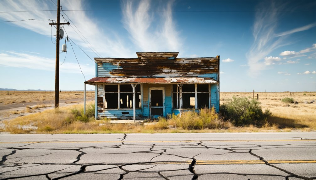
If you’re planning a ghost town road trip, Nottawa, Texas is worth the detour. You’ll find it at the junction of US 90A and FM 1164 in northeastern Wharton County, sitting quietly between East Bernard and Lissie. There’s no town center or historic markers left, just open rice fields where a community once thrived. Pair it with nearby stops for a fuller picture of this region’s fascinating, layered history.
Key Takeaways
- Nottawa is located at the junction of US 90A and FM 1164 in northeastern Wharton County, between East Bernard and Lissie.
- No preserved buildings, markers, or active town center remain, making Nottawa best visited as part of a broader scenic road trip.
- The area features Gulf Coast prairie landscapes surrounded by rice fields, reflecting the region’s agricultural transformation since 1898.
- Nearby East Bernard offers Czech-influenced cuisine and cultural history, enriching your ghost town road trip experience significantly.
- Wharton County contains multiple ghost towns and faded settlements, providing a historically layered route through rural Texas Gulf Coast prairie.
What Is Nottawa, Texas: and Why Do People Drive Out to a Ghost Town?
Tucked into the Gulf Coast prairie of northeastern Wharton County, Nottawa, Texas, is a ghost town that most people drive past without knowing it ever existed — sitting quietly at the junction of US 90A and FM 1164, midway between East Bernard and Lissie, surrounded by the rice fields that once defined its brief but eventful life.
You won’t find historic architecture or a main street here. What draws people out is something harder to name — local legends, a layered past, and the freedom of chasing a place that officially no longer exists.
Czech settlers, Midwest farmers, a rice boom, and an oil company research farm all shaped this land. Understanding that history transforms a stretch of South Texas highway into something genuinely worth the detour.
Where Nottawa Sits: US 90A, FM 1164, and How to Get There
Sitting at the junction of US 90A and FM 1164, Nottawa lands almost exactly halfway between East Bernard and Lissie in northeastern Wharton County — which means if you’re already traveling US 90A, you’re practically driving through it without realizing it. That’s actually part of the appeal. You’re not fighting traffic or booking reservations; you’re just turning onto FM 1164 and stepping into Gulf Coast prairie history.
East Bernard makes a smart base — it’s close, it offers local cuisine worth stopping for, and it connects you to other historic landmarks scattered across Wharton County. The roads are straightforward, the land is flat and open, and you’ll immediately understand why rice farmers once transformed this quiet stretch of Texas into a major agricultural corridor.
What’s Left at Nottawa Today
When you arrive at Nottawa today, you won’t find a town center, a main street, or even a marker indicating a once-active community. The most significant recent chapter here was Occidental Petroleum’s research farm on FM 1164, which operated until 1991 and effectively marked the end of Nottawa as a functioning place.
What you’re left with is a quiet stretch of rice-growing land that carries more history in its soil than its landscape lets on.
No Active Town Center
Once a modest but functioning community, Nottawa leaves almost nothing for you to physically explore today. When Occidental Petroleum’s research center closed in 1991, the town’s last functional anchor disappeared, and Nottawa officially ceased to exist as a community.
There’s no active town center waiting for you — no storefronts, no preserved buildings, no marked historical preservation site drawing crowds.
What you’re really chasing here are community stories embedded in the landscape itself. The junction of US 90A and FM 1164 marks the spot, surrounded by the same rice-growing fields that once transformed this area’s identity.
You’ll need to bring your curiosity and some background research, because the land won’t hand you much. The history lives in records, not ruins.
Agricultural Research Legacy
The closest thing to a lasting footprint at Nottawa is the agricultural research legacy tied to Occidental Petroleum’s farm on FM 1164. Established in the late 1970s, the research center built on the area’s rice-growing identity before closing in 1991, effectively ending Nottawa as a living community.
Its cultural significance lies in what it represents — decades of agricultural experimentation rooted in that transformative 1898 rice discovery. You won’t find preservation efforts protecting any structures today, but the land itself tells the story.
As you drive FM 1164, you’re passing through ground that shaped Wharton County’s rice economy. That invisible history is worth pausing over, even if nothing physical marks the spot where Occidental’s researchers once worked the soil.
From Free-Range Cattle to Rice Country: How Nottawa Developed
Before Czech immigrants arrived in 1878, you’d have found this stretch of Wharton County serving as little more than open free-range cattle territory. Those early settlers gradually shaped a modest farming community.
Yet the land resisted familiar Midwest crops until an 1898 discovery changed everything. Once farmers recognized the area’s remarkable suitability for rice production, Nottawa’s agricultural identity locked into place.
This transformation helped turn Wharton County into a major rice-exporting region.
Early Cattle Territory Roots
Long before Czech immigrants arrived in the late 1870s, the land around present-day Nottawa was wide-open free-range cattle territory, shaped more by roaming herds than by fences or farms. You’re looking at a landscape that hadn’t yet felt the pull of urban development or modern amenities — just sprawling Gulf Coast prairie where cattle moved freely across Wharton County’s flat, open ground.
Rail service from the Buffalo Bayou, Brazos and Colorado Railway had already reached the area by 1859, but that infrastructure didn’t immediately spark settlement. The land stayed raw and largely untamed for nearly two more decades.
If you appreciate places where nature ran the show before civilization moved in, Nottawa’s earliest chapter speaks directly to that sense of unfiltered, unstructured freedom.
Czech Settlers Arrive
When Czech immigrants moved into the Wharton County area in 1878, they transformed land that cattle had roamed for decades into something far more intentional. These settlers brought a strong agricultural identity and a determination to build lasting roots in unfamiliar terrain. You can almost feel that pioneering spirit when you stand at the junction of US 90A and FM 1164 today.
Their arrival planted the seeds for local legends that still echo through the region’s history. A second wave followed under John Linderholm and the South Texas Colonization Company, which acquired 60,000 acres to recruit Midwest farmers.
Though little historical architecture survives now, that era defined Nottawa’s character. Understanding this settlement story gives your road trip real meaning beyond simply marking a ghost town on your map.
Rice Transforms The Land
The 1898 discovery that the local soil was unusually well-suited for rice production flipped Nottawa’s agricultural identity almost overnight. Before that turning point, free-range cattle had defined the land’s purpose, and disappointed Midwest settlers had already learned that familiar crops simply wouldn’t cooperate with the Gulf Coast prairie climate.
Rice changed everything. Wharton County transformed into a major exporter, and the cultural significance of that shift rippled across the entire region. You can almost sense it when you drive FM 1164 today — the flat, open fields carry the memory of an industry that rewrote local legends about what this land could produce.
For road-trippers chasing honest Texas history, that single agricultural pivot is reason enough to make Nottawa a deliberate stop on your route.
The Buffalo Bayou Railway and Czech Settlers Who Shaped Nottawa
Before Nottawa had a name, it had a railway. The Buffalo Bayou, Brazos and Colorado Railway pushed through this corner of Wharton County in 1859, opening land that free-range cattle ranchers had largely claimed as their own.
Settlement stayed thin until 1878, when Czech immigrants arrived and began building something permanent. Their cultural heritage reshaped the social fabric of the area, layering local legends of hard-won farming life onto a landscape that hadn’t yet found its identity.
You’re standing in territory where those early settlers gambled on unfamiliar soil, determined to make it work. They didn’t strike gold, but they planted roots deep enough to invite the next wave of settlers who’d eventually put Nottawa on the map.
Why Nottawa Was Abandoned: The Pipeline Plant, Occidental Petroleum, and 1991
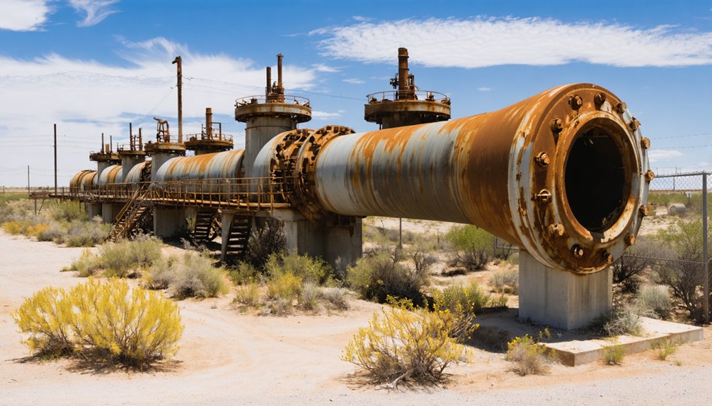
Nottawa’s end didn’t come from a single catastrophic event but from a slow unraveling that stretched across several decades. In 1944, the Tennessee Gas Pipeline Company opened a booster plant nearby, briefly breathing new life into the area. Workers moved in, homes went up, and a community center gave locals a gathering place.
But by the 1970s, most of that historical architecture had been moved or sold off, leaving gaps where neighborhood life once existed. Occidental Petroleum then established a research farm on FM 1164 in the late 1970s, carrying the town’s agricultural identity forward one final time.
When that research center closed in 1991, Nottawa ceased to exist as a community. Today, local legends keep the memory alive for road-trippers willing to seek it out.
Plan Your Nottawa Visit Around East Bernard and Lissie
Sitting midway between East Bernard and Lissie along US 90A, Nottawa is easy to work into a broader Wharton County road trip. You’ll find the site at the junction of US 90A and FM 1164, making it a natural pause between two small towns worth exploring.
East Bernard offers local cuisine rooted in Czech heritage, a nod to the immigrant settlers who shaped this entire region. From there, follow US 90A toward Lissie and take FM 1164 to stand where Nottawa once operated.
You won’t find historical landmarks still standing, but the rice fields surrounding you tell the real story. Frame your visit around the agricultural and railway history, and you’ll leave with a sharper sense of what shaped this quiet corner of Texas.
Other Ghost Towns Near Nottawa Worth Adding to Your Route
Wharton County has more ghost town history than Nottawa alone can hold, so it’s worth stretching your route to take in a few neighboring abandoned communities. The Gulf Coast prairie corridor connecting East Bernard and Lissie sits inside a broader landscape of faded settlements, each with its own agricultural backstory.
While you’re moving between stops, sample the local cuisine in East Bernard, where small-town diners reflect the Czech and Midwestern heritage that originally shaped this entire region. If your timing lines up with community events in nearby towns, you’ll catch living glimpses of the culture that once animated places like Nottawa.
Building a multi-stop itinerary across Wharton County turns a single ghost town visit into a genuinely rewarding road trip through layered Texas history.
Frequently Asked Questions
Who Was Frank C. Boyden and What Role Did He Hold?
Frank C. Boyden served as Nottawa’s first postmaster when the post office opened in 1904. He’s part of the ghost town legends tied to the community’s historical architecture and brief but vibrant past you’ll love exploring.
What Crops Failed Before Rice Farming Transformed Nottawa’s Economy?
Among ghost town legends and abandoned landmarks, the knowledge doesn’t specify which crops failed — it just says Midwest settlers’ “familiar crops” performed poorly. You’d think they’d have checked the soil first, wouldn’t you?
How Many Acres Did John Linderholm Acquire for Midwest Farmers?
You’ll discover that John Linderholm acquired 60,000 acres to attract Midwest farmers — a bold ghost town history move. Road trip tips: visiting FM 1164 helps you appreciate his ambitious but ultimately unfulfilled agricultural vision firsthand.
When Did Nottawa’s Post Office Officially Open for Residents?
Nottawa’s post office officially opened in 1904 — over 16 years after the town’s founding! You’ll love uncovering this ghost town history gem as part of your Texas travel tips journey through Wharton County’s fascinating, freedom-rich past.
What Region of Texas Does Wharton County Officially Classify Nottawa?
You’ll find that Wharton County officially classifies Nottawa within the Gulf Coast prairie region of Texas. It’s a fascinating detail for historical ghost towns enthusiasts seeking authentic Texas travel tips and wide-open, freedom-filled adventure!
References
- https://en.wikipedia.org/wiki/Nottawa
- https://en.wikipedia.org/wiki/List_of_ghost_towns_in_Texas
- https://authentictexas.com/texas-ghost-towns/
- https://texashistory.unt.edu/ark:/67531/metapth61101/
- https://www.tshaonline.org/handbook/entries/nottawa-tx
- https://texashistory.unt.edu/ark:/67531/metapth61101/m1/155/
- https://www.texasescapes.com/TOWNS/Texas_ghost_towns.htm
- https://texashistory.unt.edu/ark:/67531/metapth61101/m1/139/
- https://texashighways.com/travel-news/four-texas-ghost-towns/
- https://www.ghostsandgetaways.com/ghost-towns



