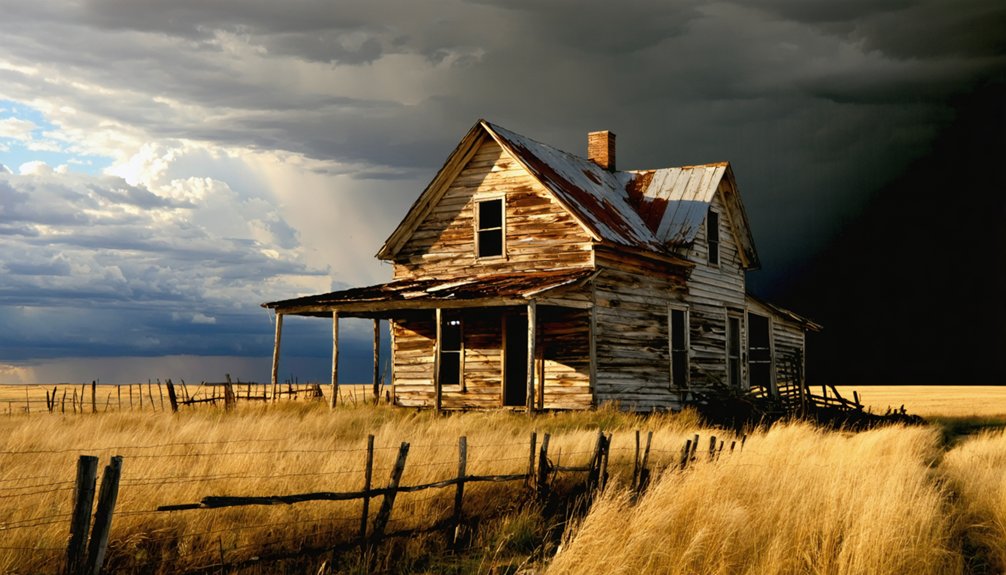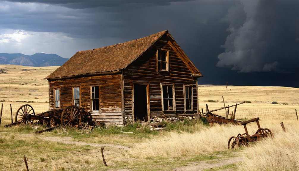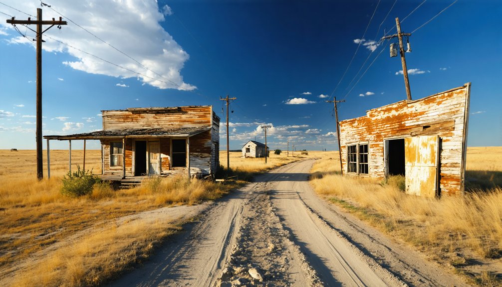
Planning a ghost town road trip to Ochre City, South Dakota puts you right in the heart of Black Hills history. This Pennington County relic emerged around 1879 during a mineral rush and faded just as quickly. Start your journey from Rapid City, download offline maps, and pair the site with nearby ghost towns like Mystic and Rockerville. Pack water, sturdy boots, and a camera — there’s far more to this abandoned landscape than you’d expect.
Key Takeaways
- Ochre City, a Black Hills ghost town in Pennington County, emerged around 1879 during the mineral rush before rapidly declining.
- Use Rapid City as your base, cross-referencing ghost-town directories with forest maps to locate Ochre City’s unpublished coordinates.
- Combine nearby ghost towns like Mystic, Rockerville, and Galena into one mapped heritage route to avoid backtracking.
- Confirm land ownership beforehand, obtain necessary permissions, and respect private property boundaries when exploring each site.
- Pack water, offline maps, first-aid supplies, and sturdy footwear while planning morning departures for optimal photography lighting.
What Was Ochre City, South Dakota?
Once a booming mining community tucked into the Black Hills of Pennington County, Ochre City flared to life around 1879 during South Dakota’s mineral rush era—then vanished almost as quickly as it appeared.
Prospectors chased the region’s rich geological features, drawn by mineral deposits that promised fortune and fast money. The camp swelled with that familiar frontier energy—picks swinging, claims staked, ambitions running high.
But like so many Black Hills settlements, Ochre City couldn’t outlast the bust that followed the boom. Local legends surrounding these lost mining towns paint vivid pictures of overnight communities that simply evaporated when the ore ran thin.
Today, ghost-town directories classify the site as barren. You won’t find much standing, but you’ll find the history—and that’s exactly what makes it worth the detour.
How to Find Ochre City in Pennington County
Knowing the history is one thing—actually getting yourself out to Pennington County to stand on that barren ground is another. Ochre City sits in western South Dakota’s Black Hills region, but precise coordinates aren’t widely published, so you’ll need to do some legwork before you go.
Start by cross-referencing regional ghost-town directories with Black Hills forest maps. Local landmarks like Rapid City serve as your practical launching point for exploring backcountry roads heading into the area. Cell service gets thin fast, so download offline maps before you leave town.
A few essential travel tips: confirm land ownership beforehand, expect unpaved roads, and pair this stop with other nearby abandoned mining sites to make the drive worthwhile. Ochre City rewards the prepared traveler, not the casual one.
What’s Left to See at the Site Today?
When you arrive at Ochre City, don’t expect much standing structure — the site is classified as barren, meaning the mining boom that energized this place in 1879 left almost nothing visible behind.
You’ll likely find open terrain where a bustling community once operated, with little more than scattered foundations or subtle ground disturbances hinting at past activity.
Still, that absence tells its own story, and recognizing what’s no longer there can be just as powerful as walking through preserved ruins.
Barren Site Conditions
Although Ochre City earned its reputation as a booming mining community in 1879, you’ll find little evidence of that energy when you arrive today.
Ghost-town directories classify the site as barren, meaning you won’t encounter standing structures, preserved buildings, or interpretive markers.
What remains is fundamentally open terrain, possibly scattered foundation traces or disturbed earth where mining activity once shaped the landscape.
Site accessibility may involve rough back roads, so arrive prepared with offline maps and a capable vehicle.
Since artifact preservation isn’t managed here the way it’s at developed historic sites, don’t expect fencing, signage, or protected remnants.
Treat the ground respectfully and leave everything as you find it.
The value of this stop lies in imagination and historical context, not physical spectacle.
Minimal Physical Remains
Because Ochre City carries a barren classification, you’re fundamentally visiting a piece of open terrain rather than a recognizable townsite. What stood here during the 1879 mining boom has largely surrendered to time, weather, and neglect. Don’t expect standing structures, signage, or preserved foundations guiding your exploration.
The historical significance still lives in the landscape itself — you’re walking ground where a mining community once hustled, staked claims, and chased fortune. Preservation challenges common across Black Hills ghost towns mean that evidence of former habitation often reduces to subtle terrain disturbances, scattered debris, or nothing visible at all.
Bring your curiosity rather than expectations. The reward here isn’t architectural — it’s the raw, unmediated connection to a boom-and-bust story written directly into South Dakota’s backcountry silence.
Black Hills Ghost Towns Worth Pairing With Ochre City
Since Ochre City’s barren status makes it a quick stop, you’ll get far more out of your trip by pairing it with other abandoned mining communities scattered across the Black Hills.
The region holds dozens of ghost towns tied to the same boom-and-bust mining era, giving you a natural framework for a multi-stop route through Pennington County and beyond.
Map your stops in advance, cluster sites by proximity, and you’ll turn a single ghost-town visit into a full day of Black Hills heritage exploration.
Nearby Abandoned Mining Towns
Ochre City isn’t the only ghost town waiting for you in the Black Hills — the region is dotted with abandoned mining settlements that pair perfectly with a stop at the barren site.
Towns like Mystic, Rockerville, and Galena rose and fell alongside the same late-1870s mineral rush that briefly put Ochre City on the map. Each site offers its own character, from scattered mining relics half-swallowed by forest to historic markers that anchor you to a specific moment in Black Hills history.
Combining these stops into a single driving route lets you trace the full arc of the region’s boom-and-bust story without backtracking. Plan your sequence around road conditions, and you’ll cover serious ground across one unforgettable stretch of western South Dakota backcountry.
Planning A Multi-Stop Route
Turning those individual stops into a cohesive route takes a little advance planning, but it’s well worth the effort. Start by mapping your ghost towns geographically rather than alphabetically, so you’re not doubling back across the Black Hills unnecessarily.
Build in flexibility for wildlife encounters along back roads, since pronghorn, deer, and other animals regularly cross remote routes and deserve a slow-down moment.
Scatter scenic overlooks throughout your day to break up driving and reward yourself with sweeping Black Hills views between abandoned sites.
Download offline maps before you leave, because cell service drops fast once you’re on forest roads.
Keep your itinerary loose enough to linger where history feels richest, yet structured enough to reach each site before daylight fades.
What to Pack Before You Hit the Back Roads
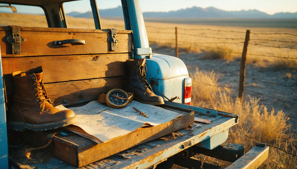
Before you chase down a barren ghost town on rough Black Hills back roads, packing smart makes the difference between a memorable day trip and a miserable one. Toss in plenty of water, since remote stretches offer no resupply points.
Weather preparedness isn’t optional here — afternoon storms roll across western South Dakota fast, so bring a rain layer even under clear morning skies. Sun protection matters equally; exposed terrain offers little shade.
Wear sturdy, closed-toe footwear for uneven ground and scattered debris. Carry offline maps or printed directions since cell service drops quickly on backcountry roads.
Stay alert to local wildlife, particularly rattlesnakes common in rocky Black Hills terrain. A basic first-aid kit rounds out everything you’ll need before rolling toward Ochre City’s forgotten ground.
How to Plan a Black Hills Ghost Town Road Trip
A Black Hills ghost-town road trip rewards the most when you string multiple abandoned sites into a single cohesive route rather than chasing each one separately. Plot Ochre City alongside other Pennington County remnants, letting mining history guide your sequence from one barren lot to the next.
Download offline maps before you leave, since cell service disappears fast on back roads. Prioritize morning departures so you catch the best light for ghost town photography — crumbling foundations and empty terrain photograph beautifully in soft, angled sun.
Confirm land ownership for each stop, pack enough water for a full day out, and keep your route flexible. The Black Hills rewards spontaneous detours, and some of the most striking abandoned sites won’t appear on any curated list.
Frequently Asked Questions
Is a Permit Required to Visit Ghost Town Sites in South Dakota?
It depends on land ownership. If you’re crossing private land access areas, you’ll need permission. Public sites may have preservation regulations, so always confirm status before exploring to keep your adventure legal and free.
What Is the Best Time of Year to Visit Ochre City?
Strike while the iron’s hot — visit Ochre City in late spring or early fall. You’ll dodge harsh weather, enjoy open roads, and connect with the site’s historical preservation without sacrificing what little visitor amenities the region offers.
Are Pets Allowed at Black Hills Ghost Town Locations?
Pet policies vary by land ownership, so you’ll want to confirm animal restrictions before you go. Generally, leashed pets are welcome on public lands, but private sites may limit access entirely.
Can Ochre City Be Visited as a Day Trip From Rapid City?
You can totally GPS your wagon to Ochre City as a day trip from Rapid City! It’s a quick historical preservation adventure, and local guided tours make the journey even more engaging and freedom-filled.
Is Photography of Ghost Town Sites Restricted on Public Land?
You’re generally free to photograph ghost town sites on public land, but always confirm historical preservation rules first. If you’re near private land access boundaries, respect posted signs to keep your freedom to explore intact.
References
- https://blackhillsatvdestinations.com/ghost-towns/
- https://en.wikipedia.org/wiki/List_of_ghost_towns_in_South_Dakota
- https://www.facebook.com/groups/milkywaychasers/posts/1862952813944211/
- https://myxoadventures.com/the-ghost-town-of-spokane-south-dakota/
- https://www.powderhouselodge.com/black-hills-attractions/fun-attractions/ghost-towns-of-western-south-dakota/
- https://kids.kiddle.co/List_of_ghost_towns_in_South_Dakota
- https://www.youtube.com/watch?v=_0WNYsFLSLA
- https://www.youtube.com/watch?v=iLdeP_SBrJc
- https://en.wikipedia.org/wiki/Category:Ghost_towns_in_South_Dakota