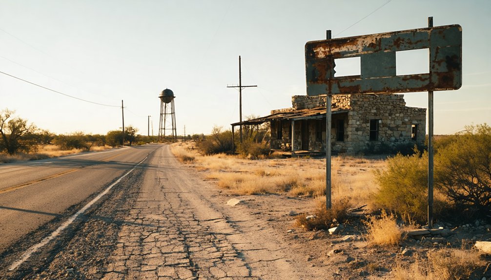
To plan your ghost town road trip to Rooster Springs, Texas, start in Dripping Springs and trace the historic Austin-to-Blanco stage road eastward into northern Hays County. This vanished community formed around natural springs and a cotton gin, serving travelers moving through Central Texas Hill Country. No structures remain today, so you’ll need maps, local knowledge, and a sense of adventure. There’s far more to this forgotten corridor than you’d expect.
Key Takeaways
- Start in Dripping Springs and follow the historic Austin-to-Blanco stage route eastward to locate Rooster Springs, approximately six miles east.
- No standing structures or signage exist, so research land ownership and seek local guidance before visiting the site.
- Connect nearby ghost towns, rural cemeteries, and historical markers along the corridor for a comprehensive, layered road trip itinerary.
- Use detailed maps and ghost-town listings to trace the old stage road used by stagecoaches and freight wagons.
- The site’s value lies in its historical narrative—natural springs, a cotton gin, and a vanished frontier community—not physical landmarks.
What Was Rooster Springs, Texas?
Tucked into northern Hays County near a natural spring, Rooster Springs was a small nineteenth-century settlement about six miles east of Dripping Springs. It served as a stage stop on the road connecting Austin to Blanco, placing it squarely within the region’s historic trade routes that carried travelers, goods, and commerce across Central Texas.
The settlement reflected early settlement patterns common to the Hill Country, where communities formed around reliable water sources, roads, and practical services. A cotton gin operated nearby under a Mr. Cade, confirming that residents weren’t just passing through but actively working the land.
Today, Rooster Springs no longer exists as an active place. No post office, no infrastructure, no town center remains. What’s left is the history, and that’s exactly what makes it worth exploring.
Where Rooster Springs Sits in Hays County
When you’re mapping out your route, place Rooster Springs in northern Hays County, tucked near a spring about six miles east of Dripping Springs.
That position puts it squarely along the old Austin-to-Blanco road, where the settlement once served travelers moving through the Texas Hill Country.
Use Dripping Springs as your modern anchor point, since Rooster Springs itself no longer appears on current Texas place references.
Hays County Location Details
Rooster Springs sits in northern Hays County, roughly six miles east of Dripping Springs — a detail worth noting if you’re mapping out your route. This placement put the settlement directly along the old Austin-to-Blanco road, making it a natural stop for travelers moving through Central Texas.
Local legends and settlement decline aside, the geography tells a clear story. Use these four location markers to orient yourself:
- County: Hays County, Texas
- Reference town: Dripping Springs, approximately six miles west
- Historical road: Austin-to-Blanco travel corridor
- Region: Central Texas Hill Country
You won’t find a town here today, but understanding where Rooster Springs once stood helps you appreciate how spring-fed sites shaped early frontier movement across this rugged landscape.
East Of Dripping Springs
Six miles east of Dripping Springs, you’ll find the ground where Rooster Springs once stood — a small but strategically placed settlement in northern Hays County that served travelers pushing along the old Austin-to-Blanco road. Today, Dripping Springs anchors your navigation when you’re plotting this route through Central Texas Hill Country.
The cultural significance of this corridor runs deep. Stage stops like Rooster Springs weren’t accidental — they formed around reliable water sources and trade demand, shaping how people moved across the frontier. That spring defined everything.
Preservation efforts in Hays County ghost-town research keep these locations documented, even when nothing physical remains. Knowing where Rooster Springs sat relative to Dripping Springs gives you a tangible geographic foothold for understanding how early Texans carved movement across this landscape.
How the Austin-to-Blanco Stage Road Built Rooster Springs
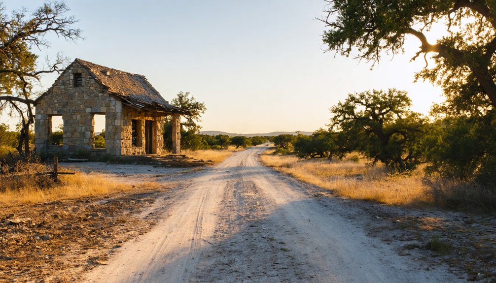
Before modern highways reshaped how Texans moved across the Hill Country, stage roads carved the region’s first reliable travel corridors — and Rooster Springs grew up along one of the most traveled.
Before highways arrived, stage roads cut the first reliable paths through Texas Hill Country — and settlements rose to meet them.
The Austin-to-Blanco route gave the settlement its purpose. When you trace that old road today, you’re following a path that once shaped daily life for travelers, merchants, and settlers. Its cultural significance runs deep.
The stage road delivered four essentials that built Rooster Springs:
- Reliable water access near the spring
- A rest stop for passengers and livestock
- Local commerce through Mr. Cade’s cotton gin
- A node connecting Austin to Blanco’s growing communities
Historical preservation of this corridor helps you understand how freedom of movement once depended entirely on springs, roads, and small communities willing to serve both.
The Spring and Cotton Gin That Kept Rooster Springs Running
Every frontier settlement needed at least one reason to exist — Rooster Springs had two. The spring itself was the first anchor, pulling travelers off the Austin-to-Blanco road with reliable water for horses, livestock, and weary passengers. Along historical trade routes like this one, water determined survival, and Rooster Springs delivered.
The second anchor was Mr. Cade’s cotton gin. That single piece of machinery tells you something important about early settlement patterns here — this wasn’t just a transient stop. Local farmers were growing crops, harvesting them, and processing them nearby.
The community had genuine economic roots.
Together, the spring and gin created mutual dependency between travelers and residents. You couldn’t have one without the other sustaining the whole operation. That combination kept Rooster Springs functioning long enough to leave a mark on history.
Why Rooster Springs Vanished From the Map
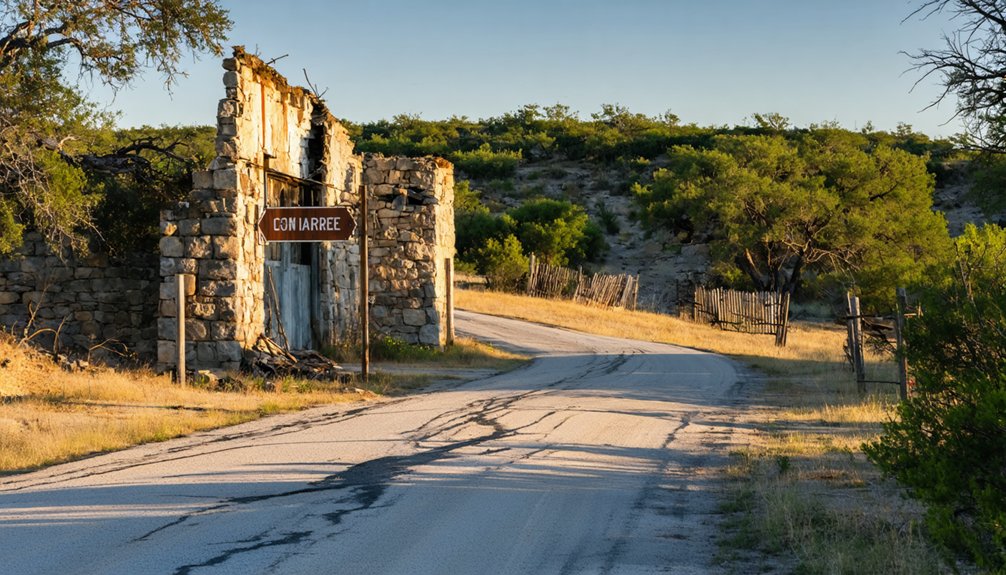
What keeps a small settlement alive can also signal what kills it. Rooster Springs thrived on specific conditions, and when those conditions shifted, the historical economy that sustained it collapsed. Settlement decline followed naturally.
Four forces likely erased Rooster Springs from the map:
- Railroads bypassed the Austin-to-Blanco road corridor
- Springs became less critical as water infrastructure improved
- Agricultural consolidation reduced demand for local cotton gins
- Population drifted toward incorporated towns with post offices and services
You won’t find a dramatic moment of abandonment in the record. Places like Rooster Springs simply stopped being necessary. The road moved on, the travelers moved on, and the community dissolved without ceremony.
That quiet disappearance is exactly what makes it worth chasing down today.
What’s Left at the Rooster Springs Site Today
If you’re expecting a ghost town with crumbling storefronts and rusted signage, Rooster Springs will reset those expectations fast. No standing structures, no historical landmarks, and no preservation efforts mark this site today. The settlement has genuinely vanished, leaving behind little more than geography and recorded history.
What once supported a stage stop, a cotton gin, and a working spring community now blends quietly into the Hill Country landscape east of Dripping Springs.
You won’t find a parking lot or an interpretive sign waiting for you. The value here lives in what you carry with you — the knowledge that this ground once connected travelers moving between Austin and Blanco. That invisible history is exactly what makes ghost-town road trips worth taking.
How to Reach Rooster Springs From Dripping Springs
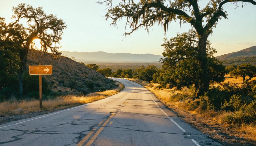
Since Rooster Springs sat roughly six miles east of Dripping Springs, you’re already working with a short drive on what was once a well-traveled road corridor connecting Austin and Blanco. Use Dripping Springs as your launch point and head east through Hays County’s rolling terrain.
Before you go, keep these steps in mind:
- Research current land access, since the site sits on private or undesignated ground.
- Study old county road maps to trace the original Austin-to-Blanco route.
- Ask locals about preservation efforts and any surviving landmarks nearby.
- Listen for local legends tied to the spring and stage-stop era.
You won’t find signage or infrastructure, so treat this as historical geography exploration rather than a conventional stop.
Freedom means charting your own course through Texas history.
Other Hays County Ghost Towns Worth Visiting Nearby
Rooster Springs doesn’t have to be your only stop once you’ve explored the old Austin-to-Blanco corridor. Hays County holds several other vanished communities worth tracking down, each telling a different chapter of Central Texas frontier life.
These sites reward travelers who care about cultural preservation, offering raw, unpolished glimpses into how settlers built lives around springs, roads, and trade before modern redevelopment reshaped the region entirely.
Pull out a detailed county map, cross-reference ghost-town listings, and plot a loose route connecting multiple historical points. You’ll cover more ground, build a richer narrative for your trip, and understand how interconnected these small settlements once were.
The Hill Country doesn’t advertise these places loudly, but they’re out there waiting for curious road-trippers willing to look.
Building a Rooster Springs Road Trip Through the Hill Country
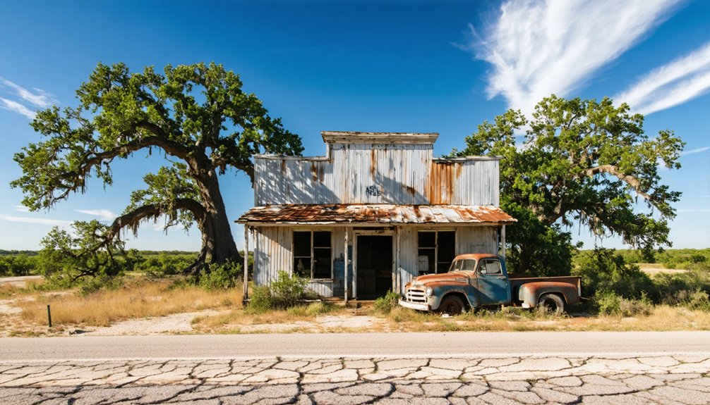
Start your trip in Dripping Springs, which puts you just a few miles west of where Rooster Springs once stood along the old Austin-to-Blanco road. You can trace that historic stage route eastward, letting the corridor itself tell the story of how nineteenth-century travelers moved goods, mail, and people across the Hill Country.
Pair the stop with other nearby Hays County ghost towns to build a full day of historical geography rather than a single roadside detour.
Starting Point: Dripping Springs
Because Rooster Springs no longer exists as a functioning town, you’ll want to anchor your road trip around Dripping Springs, the nearest prominent community and your most practical launching point. From here, you’re roughly six miles from where the old settlement once served travelers moving along historical trade routes between Austin and Blanco.
Use Dripping Springs to:
- Fill your tank and grab supplies before heading into rural Hays County
- Research settler stories and local heritage at area visitor resources
- Plot your route east toward the former spring site
- Connect to broader Hill Country ghost-town stops for a fuller itinerary
Dripping Springs gives your trip a solid foundation, letting you explore the surrounding countryside with context, purpose, and the freedom to wander on your own terms.
Mapping The Old Stage Road
Once you’ve got Dripping Springs locked in as your base, the real adventure begins: tracing the old Austin-to-Blanco road that once carried stagecoaches, freight wagons, and frontier settlers through the heart of Hays County.
Head east roughly six miles and you’re moving through the corridor where Rooster Springs once served travelers who’d no modern amenities to rely on — no roadside stops, just a spring, a cotton gin, and a small settlement carved from Texas hill country.
Today, that same stretch rewards road-trippers who enjoy reading the landscape for clues about vanished communities. Pull over when something looks historically promising.
Fuel up on local cuisine back in Dripping Springs before you head out, because the old stage road offers scenery and history, not convenience stores.
Pairing Nearby Ghost Towns
Rooster Springs works best as one stop in a longer ghost-town loop through Hays County, where several other vanished settlements dot the old Hill Country road corridors.
Pair it with nearby extinct communities to build a fuller picture of frontier life, historical architecture, and local legends that shaped this region.
Consider anchoring your loop around these stops:
- Dripping Springs – your modern base camp and logistics hub
- Nearby Hays County ghost-town sites along old Austin-to-Blanco corridors
- Historical markers identifying former stage roads and settlement locations
- Rural cemeteries, which often preserve the last visible evidence of vanished communities
Each stop adds context that Rooster Springs alone can’t deliver.
Together, they tell a connected story about movement, agriculture, and survival across nineteenth-century Central Texas.
Frequently Asked Questions
Was Rooster Springs Ever Given an Official Texas Historical Marker?
The available records don’t confirm an official Texas Historical Marker for Rooster Springs. If you’re passionate about ghost town tourism and historical preservation, you’ll want to check directly with the Texas Historical Commission for updates.
Who Owned the Land Where Rooster Springs Originally Stood?
Like a puzzle missing pieces, the records don’t reveal who owned Rooster Springs’ land. You’ll find ghost town tourism here rewarding, though historic site preservation efforts haven’t yet uncovered that specific ownership detail.
Did Any Families Permanently Settle at Rooster Springs Long-Term?
The historical record doesn’t confirm long-term family settlements there, but ghost town tourism and family history exploration can still connect you to the farming and traveling communities who once called Rooster Springs home.
What Spring Name Is Officially Recorded for the Rooster Springs Site?
The records don’t officially name the spring beyond “Rooster Springs” itself. You’ll find that spring water sources shaped historical settlement patterns here, drawing travelers and settlers to this now-vanished Hill Country crossroads.
Are There Any Photographs Documenting the Original Rooster Springs Settlement?
No historical photographs or settlement documentation have surfaced for Rooster Springs. You’re chasing a ghost — dusty roads, vanished walls, silent springs. The story lives in written records, not captured images, so let your imagination reconstruct what time erased.
References
- https://www.tshaonline.org/handbook/entries/rooster-springs-tx
- https://www.texasalmanac.com/places/rooster-springs
- https://www.youtube.com/watch?v=usBlpphtBVM
- https://en.wikipedia.org/wiki/List_of_ghost_towns_in_Texas
- https://www.texasescapes.com/TexasHillCountryTowns/Dripping-Springs-Texas.htm
- https://www.ghosttowns.com/states/tx/tx.html
- https://www.youtube.com/watch?v=PTjcD-e7kEg
- https://www.texasescapes.com/TOWNS/Texas-Ghost-Towns-2-Central-Texas.htm
- https://www.ghostsandgetaways.com/blog-1/27-fascinating-ghost-towns-in-texas
- https://www.texasescapes.com/TexasGhostTowns/Eighteen-Ghost-Towns-of-Runnels-County.htm



