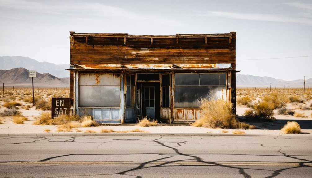
Packwood Station vanished long before anyone thought to photograph it. Established in 1857 along the Stockton–Los Angeles Road in Tulare County, it served Butterfield Overland Mail coaches until the catastrophic winter flood of 1861–1862 buried it beneath sand and silence. No ruins mark the spot, no roadside sign points the way. You’re chasing memory more than landmarks here — and the full story of what was lost, and how to find it, runs deeper than you’d expect.
Key Takeaways
- Packwood Station, established in 1857 near Visalia, served as a Butterfield Overland Mail stagecoach stop until the catastrophic 1862 flood erased it.
- No structures, ruins, or markers remain; approach the site as a vanished landscape requiring historical maps and Tulare County records to locate.
- Spring (March–May) offers the optimal visiting conditions, featuring dry roads, blooming wildflowers, and scenic golden landscapes for exploration.
- Pair the visit with nearby ghost towns like Yokohl, Millwood, and Tule River Station for tangible historical remnants and enriched context.
- Research regional histories, old newspaper archives, and California road surveys beforehand to fully appreciate Packwood Station’s frontier significance.
What Packwood Station Was and Why It Vanished
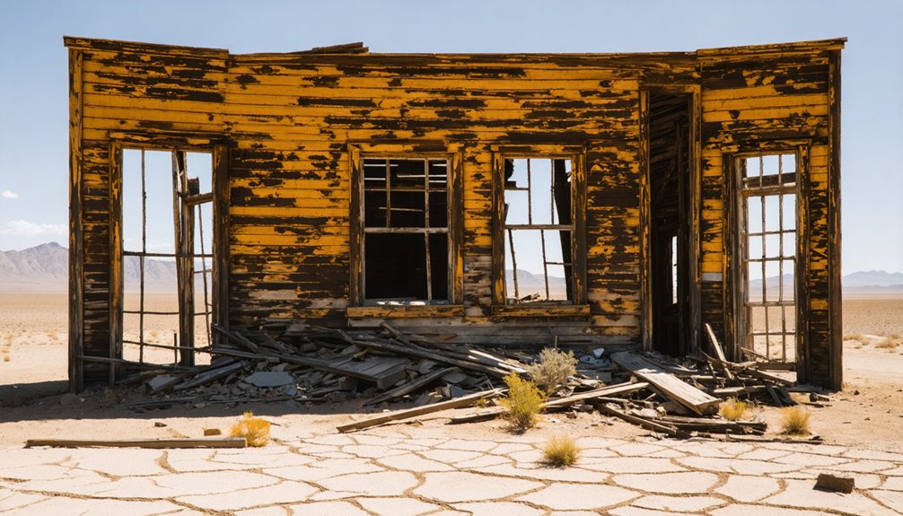
Before the Civil War reshaped the country, Packwood Station was already doing quiet, essential work on California’s frontier. Established in 1857 on the Stockton–Los Angeles Road, it served as a Butterfield Overland Mail stagecoach stop from 1858 to 1861.
It sat roughly 12 miles southeast of Visalia on land owned by cattleman Elisha Packwood.
Then the winter of 1861–1862 erased it. The Great Flood swept away the station, Packwood’s cattle, and nearly his life. Floodwaters buried fertile land under sand, leaving nothing recognizable.
He lost an estimated $40,000 and eventually relocated to Oregon.
No historical photographs document the original site, and local legends haven’t pinpointed its exact location. What you’re chasing here isn’t ruins — it’s a vanished moment in California’s stagecoach era.
How the Butterfield Overland Mail Put Packwood Station on the Map
When you trace the Butterfield Overland Mail’s central California corridor, you’ll find Packwood Station sitting squarely along one of the most ambitious mail routes in American history. It operated as a working stagecoach stop from 1858 to 1861.
The Butterfield line pushed through Tulare County’s frontier landscape, and stations like Packwood’s gave coaches a place to swap horses, rest passengers, and press on toward Los Angeles or Stockton.
That logistical role transformed a cattleman’s private land into a named stop on a national route, briefly anchoring the settlement in the wider story of westward expansion.
Butterfield’s Central California Corridor
Though it lasted only a few years, the Butterfield Overland Mail transformed raw frontier California into a connected corridor of commerce and communication. From 1858 to 1861, coaches rolled through Tulare County, threading stations like Packwood into a living network stretching coast to coast.
You can almost hear the wheels cutting into the Stockton–Los Angeles Road, dust rising over land that once yielded prehistoric artifacts buried beneath centuries of soil. Local legends remember this corridor as something wilder than a mail route — it was a lifeline for people chasing open horizons.
Packwood Station sat roughly 12 miles southeast of Visalia, a brief but essential stop where riders, traders, and dreamers passed through territory that felt both ancient and electric with possibility.
Stagecoach Era Station Role
Packwood Station didn’t earn its place on the map by accident — it earned it by being exactly where Butterfield needed it. From 1858 to 1861, this Tulare County stop anchored the Butterfield Overland Mail route along the Stockton–Los Angeles Road, giving riders, horses, and mail sacks a reliable breaking point between settlements.
You can almost feel the dust settling as coaches pulled in, trading exhausted horses for fresh ones.
Local legends say the land carried a rawness that matched the era perfectly — frontier energy, open sky, and forward momentum. While no ancient artifacts mark the ground today, the station’s operational role was concrete: roughly 12 miles southeast of Visalia, it held the corridor together.
Packwood Station wasn’t background scenery. It was infrastructure.
How the Great Flood of 1862 Erased Packwood Station
The winter of 1861–1862 brought a catastrophic flood that didn’t just damage Packwood Station — it erased it entirely. Floodwaters buried fertile land under sand, stripping away any historical artifacts that might’ve survived. Preservation challenges now make locating the exact site nearly impossible.
Elisha Packwood lost everything:
Elisha Packwood lost $40,000, his cattle, his station, and his California dream — all in one brutal winter.
- $40,000 net worth — gone in a single brutal season
- His cattle — swept away by relentless floodwaters
- The station itself — buried beneath sand, unrecognizable afterward
- His California future — forcing him to rebuild his life in Oregon
When you plan your visit, understand you’re chasing a landscape, not a landmark. No ruins mark the ground. The flood didn’t just end a settlement — it reclaimed the land completely, leaving history invisible beneath your feet.
Why No Ruins or Markers Exist at the Packwood Station Site
When you search for Packwood Station today, you won’t find crumbling walls, weathered timber, or a roadside historical marker pointing you toward hallowed ground.
The Great Flood of 1862 didn’t just destroy the station — it buried the entire landscape under sand, stripping away every trace of the frontier life that once existed there.
The exact site remains unknown, leaving you with nothing to stand on but history itself.
Flood Erased Everything
During the winter of 1861–1862, floodwaters didn’t just damage Packwood Station — they erased it entirely. Sand buried the fertile land, stripping away every trace of its historical significance.
Elisha Packwood faced devastating economic decline, losing $40,000 and nearly his life before relocating to Oregon.
What the flood took from Packwood Station:
- The physical station structure, swept completely away by rushing water
- Packwood’s cattle and property, destroying his livelihood overnight
- The fertile land, buried under sand and left unrecognizable
- The exact site location, now unknown to researchers and travelers today
You’re not chasing visible ruins here — you’re tracing a vanished moment in California’s stagecoach era, preserved only in historical records and old maps.
Site Remains Unknown
What the flood left behind wasn’t ruins — it was silence. No crumbling walls, no weathered signpost, no roadside marker anchors you to Packwood Station today. The floodwaters buried fertile ground under thick sand, erasing every trace of Elisha Packwood’s frontier life.
You won’t find local legends carved into stone here or pioneer stories etched onto historical plaques along the highway. The exact site remains genuinely unknown.
That uncertainty changes how you experience this place. You’re not visiting a preserved attraction — you’re standing somewhere inside a lost landscape, reading the absence itself. Bring historical maps, study Tulare County records beforehand, and treat the surrounding corridor as your exhibit.
The ghost town isn’t hidden. It’s simply gone, and that honest erasure is what makes it worth finding.
The California Ghost Town, Not the Washington Lodge
Before you start mapping your route, it’s worth clearing up a common mix-up: Packwood Station, California is a vanished stagecoach stop in Tulare County, not the cozy lodging retreat near Mount Rainier in Washington. These two places share a name but nothing else.
Here’s how they differ:
- Location — California’s site sits along the old Stockton–Los Angeles Road; Washington’s lodge rests on 20 acres near Mount Rainier.
- Purpose — California’s stop once carried Butterfield Overland Mail; Washington’s property rents cabins.
- Historical artifacts — California holds buried frontier history; Washington offers modern amenities.
- Local legends — California whispers stories of flood and loss; Washington promises ski trails and forest walks.
You’re chasing the untamed California frontier, not a cabin retreat.
How to Research Packwood Station Before You Drive Out
Now that you’ve confirmed which Packwood Station you’re chasing, the real work begins at your desk, not behind the wheel. The exact site is unknown today, so you’ll need historical maps, Tulare County records, and old California road surveys to triangulate a general area.
Dig into Butterfield Overland Mail documentation and Stockton–Los Angeles Road references to build your spatial sense of the corridor. Local legends surrounding the Great Flood of 1862 sometimes surface in regional histories and old newspaper archives, offering unexpected archaeological clues about where sand buried Elisha Packwood’s world.
Check ghost-town research communities and California historical society databases before you load the car. Freedom means chasing the unknown, but smart preparation keeps that chase honest and worth every mile.
Tulare County Ghost Towns Worth Pairing With Packwood Station
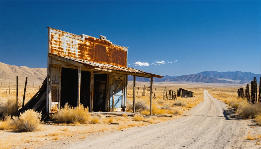
Since Packwood Station’s exact site remains a mystery, you’ll want companion stops that reward the drive with something more tangible. Tulare County’s frontier corridor holds several ghost towns tied to local legends and historical preservation efforts worth chasing down.
- Yokohl – A ranching settlement with remnants that echo California’s cattle era.
- Millwood – A logging ghost town tucked into the Sierra Nevada foothills, rich with timber-era atmosphere.
- Lemon Cove – A former agricultural hub where old structures still anchor the landscape.
- Tule River Station – Once Packwood’s nearest neighbor along the Butterfield route, sitting roughly 14 miles south.
Pair these stops deliberately. Each one adds historical texture that Packwood Station alone can’t deliver from its buried, sand-covered ground.
The Best Season to Drive the Packwood Station Corridor
When you drive the Packwood Station, corridor matters as much as where you stop. Spring pulls the San Joaquin Valley into brief, golden clarity — roads dry out, wildflowers push through cracked soil, and the landscape almost whispers its local folklore back to you. That seasonal openness makes historical research easier and the drive genuinely freeing.
Summer heat bakes the corridor into something harsh and unforgiving, much like the frontier conditions Elisha Packwood once endured. Fall offers cooler temperatures and quieter roads, ideal for tracing old routes without distraction.
Winter, ironically, echoes the Great Flood of 1862 — wet, unpredictable, and a reminder of preservation challenges that erased the original site entirely. Plan your trip between March and May, and you’ll drive the corridor at its most honest.
Frequently Asked Questions
Was Elisha Packwood Ever Compensated for His Flood Losses?
Like dust in the wind, no compensation came. The records show he wasn’t reimbursed, leaving ghost town preservation and historic landmark status as the only tributes you’ll find honoring Elisha Packwood’s devastating $40,000 loss.
Did Packwood Station Have a Post Office at Any Point?
The records don’t confirm a post office ever graced Packwood Station’s historic architecture. You’re chasing local legends now, wandering where frontier echoes once thrived — a fleeting, sand-buried dream that the Great Flood of 1862 ruthlessly erased forever.
How Many Stagecoaches Passed Through Packwood Station Daily?
The exact daily stagecoach count isn’t documented, but you can imagine the Butterfield’s stagecoach routes running on rigid travel schedules — dusty wheels rolling through Packwood Station, carrying restless souls chasing freedom across California’s wild frontier.
Are Historical Photographs of Packwood Station Available Anywhere?
Though history thrived there, it left no images behind. You won’t find vintage postcards or historic archives capturing Packwood Station — the 1862 flood erased it before photography truly flourished, leaving only written records for your nostalgic exploration.
Did Elisha Packwood Ever Return to Tulare County After Oregon?
No records confirm he returned. You’ll find Elisha Packwood’s family legacy shadowed by loss — the flood erased Packwood Station architecture forever, leaving only open land and a freedom-seeker’s story drifting westward toward Oregon’s horizon.
References
- https://en.wikipedia.org/wiki/Packwood_Station
- https://nvtami.com/2021/11/01/mono-miners-cabins-california-ghost-town/
- https://visitrainier.com/packwood-station/
- https://en.wikipedia.org/wiki/List_of_ghost_towns_in_California
- https://en.wikipedia.org/wiki/Category:Ghost_towns_in_California
- https://en.wikipedia.org/wiki/Category:California_ghost_town_stubs
- https://www.packwoodstation.com/about-2
- https://en.wikipedia.org/wiki/Category:Populated_places_in_Tulare_County



