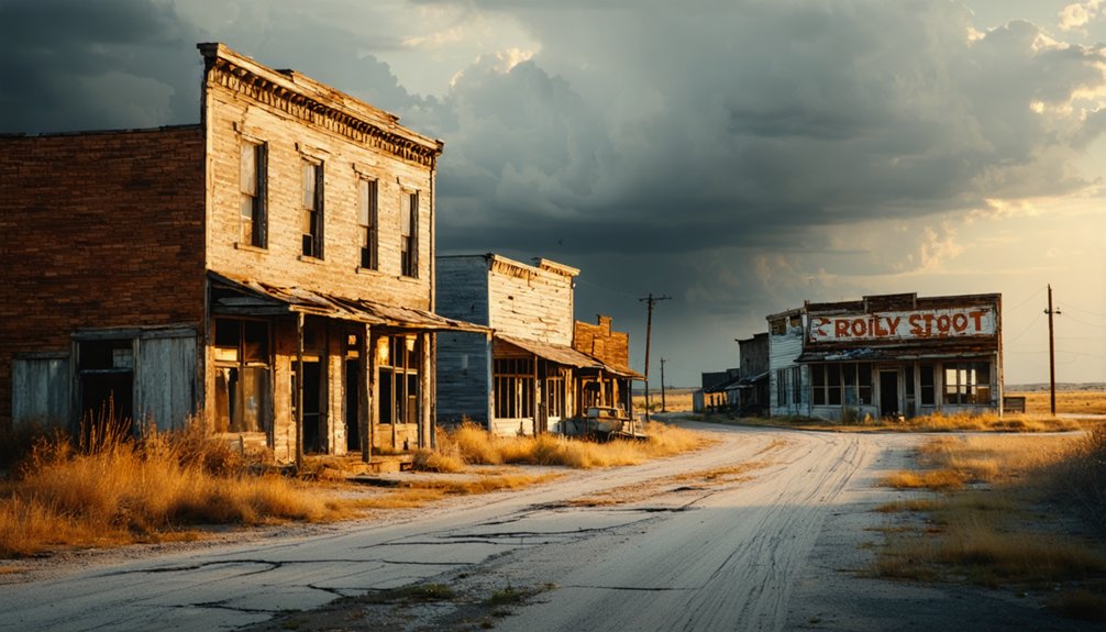
Peoria, Kansas won’t appear on any tourist map, but that’s what makes it worth finding. Tucked in Miami County, this ghost town rewards travelers who crave authentic discovery over polished attractions. You’ll find forgotten crossroads, frontier cemetery stones, and remnants that whisper stories official history skips. Plan your route using county maps, pack essential supplies, and drive slowly enough to notice what the landscape is telling you. There’s far more to uncover once you know where to look.
Key Takeaways
- Peoria, Kansas, in Miami County, offers an authentic ghost town experience with abandoned structures, frontier cemeteries, and local legends waiting to be explored.
- Railroads shaped Peoria’s rise and fall; look for remnants like depot foundations, overgrown rail grades, and scattered historic architecture marking the town’s decline.
- Visit during late spring or early fall for mild temperatures, dry gravel roads, and clearer views of historical sites before foliage obscures them.
- Pack printed maps, a historical atlas, offline GPS, camera, water, snacks, and emergency fuel, as cell coverage and services are extremely limited.
- Enhance your trip by visiting Miami County museums in Paola for archives, old line maps, settlement photographs, and cemetery documentation before departure.
Why Peoria, Kansas Belongs on Any Ghost Town Road Trip
When most people picture a ghost town road trip, they imagine the American West — crumbling saloons, desert dust, and tumbleweeds. But Peoria, Kansas offers something rawer and more honest. Tucked inside Miami County, this small community carries the quiet weight of settlement patterns that once shaped an entire region.
Railroads came, towns boomed, then the lines shifted — and places like Peoria got left behind. What remains tells a story worth chasing. You’ll find cemetery stones bearing frontier family names, forgotten crossroads, and local legends that never made it into any history book.
If you’re the kind of traveler who’d rather discover than be directed, Peoria belongs on your map — not despite its obscurity, but because of it.
How Railroad Decline Turned Miami County Towns Into Remnants
When you trace the history of Miami County’s faded towns, you’ll find railroads at the center of nearly every rise and fall. Lines that once pulled commerce and settlers into small communities later shifted or shut down entirely, cutting off the economic lifeline those towns depended on.
Once the tracks went quiet, post offices closed, businesses relocated, and communities like Peoria slipped steadily toward the remnants you can still find today.
Railroad Routes Shaped Towns
Railroad lines didn’t just connect towns in Miami County — they created them. When routes shifted, communities collapsed almost overnight. You’ll notice this pattern everywhere as you drive through the area, reading the landscape like a history book.
Watch for these railroad relics and historic architecture clues along the route:
- Abandoned depot foundations marking where passenger stops once thrived
- Overgrown rail grades cutting straight lines across open farmland
- Brick storefronts built to serve railroad workers and freight traffic
- Cemetery clusters positioned near former station towns
- Repurposed warehouses that once stored agricultural shipments
Each detail tells you where commerce flowed and why it stopped. Once a railroad bypassed a town, businesses followed the tracks elsewhere. You’re not just sightseeing here — you’re tracing the economic skeleton of a vanished world.
Tracks Abandoned, Towns Faded
Once the railroad companies rerouted their lines, Miami County’s smaller towns didn’t just slow down — they collapsed. Depots closed, merchants packed up, and post offices shuttered within years. What remained were foundations, overgrown lots, and isolated cemeteries carrying names no one remembers.
You’ll find these remnants scattered across backroads that once hummed with freight traffic. Today, they’re quiet enough to fuel urban legends and folklore stories about figures who never left — or couldn’t. That atmosphere is real, even if the tales aren’t verified.
What you can verify is the historical pattern: when the tracks moved, the people followed. Communities that thrived on rail commerce had no fallback. Exploring these abandoned corridors gives you direct access to that unfiltered story.
How to Plan Your Backroads Route Through Miami County?
Before you hit the road, pull up a Miami County historical atlas or detailed county map to trace the old rail corridors and former town sites that shaped this region. You’ll want to mark key stops in advance — think abandoned cemetery plots, old schoolhouse foundations, and roadside historical markers that point to once-active crossroads.
Building your route around short drives between multiple small stops keeps the trip manageable and guarantees you won’t burn past the quiet remnants that make this kind of backroads journey worthwhile.
Mapping Your County Route
Planning a backroads route through Miami County starts with the right tools: grab a county road map or a historical atlas before you head out, and you’ll save yourself a lot of guesswork on unmarked rural stretches.
Layer your route with stops that reveal both historic architecture and cemetery stories that define this landscape.
Build your route around these key reference points:
- County road atlases showing section-line roads and former townsites
- Historical society maps marking vanished post office locations
- Cemetery registries identifying settlement-era family clusters
- Satellite imagery for spotting abandoned structures before arrival
- Local museum archives holding railroad corridor documentation
Keep your route flexible. Rural Kansas rewards explorers who leave room for unexpected turns, unmarked foundations, and forgotten crossroads that don’t appear on any modern GPS screen.
Identifying Key Historical Stops
With your county map in hand, you’ll want to anchor your route around stops that carry the most historical weight — old cemetery plots, former post office sites, and any surviving depot structures or rail grades that explain why some communities thrived while others quietly disappeared.
Family cemeteries are especially valuable markers here. Their headstone dates often trace the exact arc of a settlement’s rise and collapse, revealing when agricultural decline pushed families off their land and toward larger towns. Look for stone foundations near crossroads, abandoned church lots, and overgrown schoolhouse sites. Each one represents a community that once had its own identity.
Cross-reference what you find against Miami County’s historical atlas to confirm vanished town names and understand the specific railroad or farming pressures that erased them from the map.
What to Bring on a Kansas Ghost Town Backroads Drive?
Packing smart makes the difference between a smooth backroads adventure and a frustrating one, so treat your gear list as seriously as your route map. Kansas rural roads test both your vehicle and your preparation, especially when you’re chasing historical architecture and local legends across Miami County’s quiet back roads.
Bring these essentials before you roll out:
- Printed county maps and a historical atlas for spotting vanished townsites
- Portable phone charger and offline GPS since cell coverage drops fast
- Camera with extra batteries for capturing remnants and cemetery markers
- Water, snacks, and emergency fuel because services disappear between stops
- Notebook and pen to log site details, names, and personal observations
You’ll travel freer and longer with the right gear loaded before you leave.
What to Look for When You Reach Peoria, Kansas?
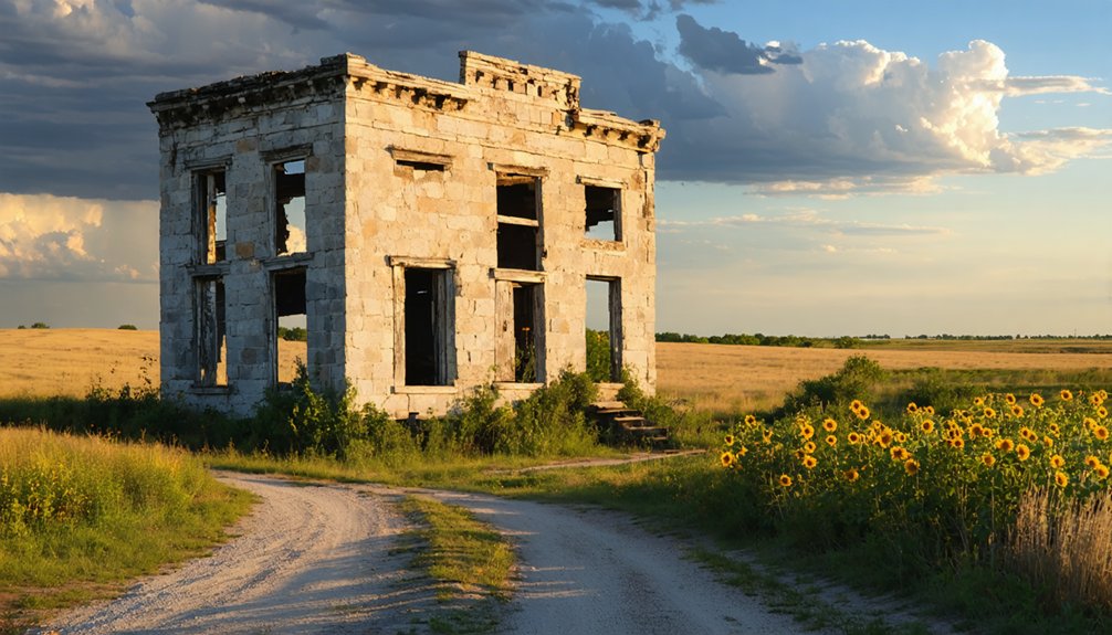
Once your gear’s loaded and you’re rolling through Miami County’s back roads, Peoria itself rewards a slow, observant pace rather than a rushed pass-through.
Scan the roadsides for old foundation lines where buildings once anchored a working community. Pioneer cemeteries often sit just off the main path, their weathered stones carrying family names that shaped this settlement before it faded. Walk them carefully and you’ll find dates that trace both the town’s rise and its quiet collapse.
Look for interrupted fence lines, overgrown lots, and graded earth suggesting a former rail corridor. Local legends sometimes point toward a vanished depot or a post office site worth locating on a county atlas.
Let the landscape tell its story by staying curious and unhurried.
Which Nearby Ghost Towns Are Worth Adding to the Route?
Peoria makes a strong anchor stop, but the surrounding Miami County backroads connect you to several other faded communities worth folding into your route. Ghost town legends and historic settlement patterns across this region tell a consistent story of railroad shifts and rural consolidation. You’ll find real depth by expanding your drive.
- Osawatomie — preserves frontier-era history tied to John Brown and early Kansas conflict
- Trading Post — a former Linn County settlement with deep pre-Civil War roots
- Potosi — a nearly vanished Miami County community with old cemetery remnants
- Fontana — a quiet crossroads with scattered historic-era structures still standing
- Hillsdale — offers railroad-era context and proximity to Hillsdale State Park
Each stop adds texture without dramatically lengthening your drive.
When Is the Best Time to Drive Kansas Ghost Town Roads?
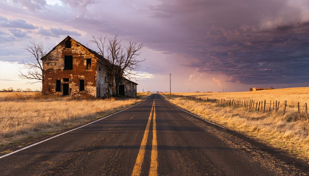
Timing your drive makes a real difference on Kansas backroads, where seasons shape everything from road conditions to visibility of old structures. Late spring and early fall give you the best combination of long daylight, mild temperatures, and dry gravel roads.
You’ll photograph historical architecture more clearly before summer foliage fills in around foundations and fence lines. Summer works if you start early and avoid midday heat, though overgrowth can hide smaller remnants.
Winter strips the landscape bare, revealing building outlines and cemetery boundaries you’d otherwise miss. Avoid heavy rain seasons when dirt roads turn impassable.
Local legends tied to specific sites often surface through county events and harvest festivals, so checking a regional calendar helps you connect with residents who know the stories firsthand.
Which Miami County Museums Fill In the Ghost Town History?
After you’ve picked your season and mapped your backroads route, Miami County’s local museums give you the historical grounding that makes every crumbling foundation and overgrown cemetery actually mean something. Stop in Paola, the county seat, where local archives connect railroad remnants to the towns that vanished when the lines shifted.
You’ll want to look for:
- Settlement-era photographs showing streets that no longer exist
- Railroad remnants including depot records and old line maps
- Historic cemeteries documentation with family names and burial dates
- County atlases pinpointing townsites now swallowed by farmland
- Oral history collections capturing firsthand accounts of community decline
These resources transform your drive from scenic wandering into purposeful exploration, giving each abandoned crossroads a name, a story, and a reason it matters.
Frequently Asked Questions
Is There a Fee to Access Ghost Town Sites in Miami County?
Most ghost town sites in Miami County don’t charge fees, but you’ll want to respect historic preservation rules and check visitor regulations, as some remnants sit on private land requiring permission before you explore.
Can Children Safely Explore Kansas Ghost Town Remnants and Cemeteries?
Yes, your children can safely explore Kansas ghost town remnants and cemeteries when you supervise them closely. Respect historical preservation efforts, watch for uneven terrain, and you’ll create engaging, freedom-filled adventures that spark their curiosity about child safety and frontier history.
Are Any Peoria, Kansas Ghost Town Sites on Private Property?
Some Peoria ghost town sites sit on private property, so you’ll want to verify access before chasing haunted legends. Respect boundaries while exploring historic landmarks, and always seek landowner permission to avoid trespassing during your backroads adventure.
Is a Four-Wheel-Drive Vehicle Necessary for Miami County Backroads?
You don’t need a four-wheel-drive for most Miami County backroads, but you’ll want a vehicle with decent clearance. Off-road driving conditions vary, so meeting basic vehicle requirements guarantees you’ll explore ghost town remnants confidently and freely.
Are There Guided Ghost Town Tours Available Near Peoria, Kansas?
Guided tours are rare, but that’s actually freeing — you’ll explore historic landmarks at your own pace. Grab your camera for amazing photography opportunities, follow county maps, and craft a personal route through Peoria’s forgotten backroads on your terms.
References
- https://www.youtube.com/watch?v=LNAm0sZuNyw
- https://www.reddit.com/r/PeoriaIL/comments/1cppw4f/haunted_places_in_peoria_to_investigate/