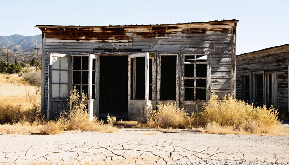
Planning a ghost town road trip to Ridleys Ferry means tracing California’s Gold Rush footsteps along the Merced River’s south bank in Mariposa County. You’ll find a quiet, raw landscape where Thomas Ridley once ferried miners and merchants across the water back in the 1850s. Pair it with the nearby ghost town of Bagby for a richer two-site experience. There’s far more layered history waiting if you keep going.
Key Takeaways
- Ridleys Ferry sits on the Merced River’s south bank in Mariposa County, accessible via Highway 49 along historic Gold Rush routes.
- Base your trip in Mariposa town for lodging and supplies before heading to this remote, minimally developed site.
- Pair Ridleys Ferry with the ghost town of Bagby across the river for a richer two-site exploration experience.
- No signage or guided tours exist, so bring a map, arrive prepared, and let the landscape tell its story.
- The site’s Gold Rush history includes Thomas Ridley’s 1850–1852 ferry operation and Frémont’s nearby Benton Mills stamp mill.
What Was Ridleys Ferry and Why Does It Matter?
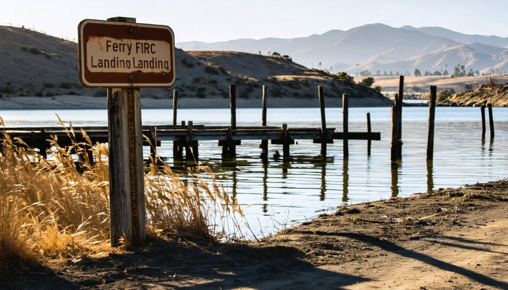
Tucked along the south bank of the Merced River in Mariposa County, Ridleys Ferry was a short-lived but surprisingly essential Gold Rush settlement that helped connect miners, travelers, and goods across one of California’s busiest inland waterways. Thomas E. Ridley operated the crossing from 1850 to 1852, giving the site its original identity before it evolved into Benton Mills under John C. Frémont’s mining influence.
Frémont built a stamp mill here to crush gold-bearing rock, transforming a simple river crossing into a working settlement. Today, local legends tied to Frémont’s ambitions and the river’s raw geography make this stop genuinely worth your time.
You’ll find scenic viewpoints along the Merced that carry the quiet weight of everything this forgotten place once was.
Where Exactly Is Ridleys Ferry on the Merced River?
You’ll find Ridleys Ferry in Mariposa County on the south bank of the Merced River, sitting directly opposite the old settlement of Bagby.
The site’s coordinates place it near 37.6118777° N, anchoring it within a stretch of river that once buzzed with miners, ferryboats, and Gold Rush ambition.
Modern access is limited, so you’ll want to treat this stop as a historical landmark visit rather than a fully developed destination.
Mariposa County Location Details
Nestled along the south bank of the Merced River in Mariposa County, Ridleys Ferry sits directly across from the ghost town of Bagby, making it part of a layered two-site historical corridor that Gold Rush travelers once depended on. You’re standing in terrain that shaped California’s early movement of people, gold, and ambition.
- The site coordinates place you near 37.6118777° N, deep within Mariposa County’s historic landscape.
- Scenic viewpoints along the Merced River reveal the rugged geography that made river crossings essential.
- Local wildlife now roams land once crowded with miners and ferry passengers.
This former settlement sits within the broader boundaries of Rancho Las Mariposas, connecting your road trip to one of California’s most storied land grants.
South Bank Merced River
Where exactly do you plant your feet when you visit Ridleys Ferry? You’re standing on the south bank of the Merced River, directly opposite the old settlement of Bagby. That precise position wasn’t accidental — it was chosen for its transportation history, serving as the natural crossing point for miners and travelers pushing through Mariposa County during the Gold Rush.
The river geography shaped everything here. The south bank gave Thomas Ridley’s ferry operation a stable launch point, connecting people moving across rugged terrain toward gold country.
That crossing carried genuine cultural significance, threading together commerce, migration, and ambition along the Merced’s current.
Today, the river still defines the site. You’re not visiting ruins — you’re visiting a geography that once moved an entire era forward.
Coordinates And Modern Access
- Approach from Highway 49, which traces historic Gold Rush routes through Mariposa County.
- The site sits opposite Bagby, giving you two layered ghost town histories in one stop.
- Expect limited infrastructure — this rewards self-guided explorers, not crowd-following tourists.
You’re steering through real history here, not a curated museum. Bring a map, fuel up beforehand, and let the river itself orient you.
The Gold Rush History Behind Ridleys Ferry and Benton Mills
When you trace Ridleys Ferry’s origins, you find Thomas E. Ridley operating a river crossing here from 1850 to 1852, serving miners and travelers pushing through the Gold Rush rush corridor.
John C. Frémont then changed the site’s character entirely when he built a stamp mill to crush gold-bearing rock from his nearby Rancho Las Mariposas. That mill operation shifted the settlement’s identity from a simple crossing point to a mining hub.
The renamed Benton Mills — honoring Frémont’s father-in-law, Senator Thomas Hart Benton — carried that legacy through the 1850s and 1860s.
Ferry Roots Begin Here
During the California Gold Rush, a practical need for river crossings shaped entire communities along the Merced River, and Ridleys Ferry was no exception. Thomas E. Ridley operated this crossing from 1850 to 1852, connecting miners and travelers to opportunity on the opposite bank.
These ferry operations became cultural traditions that defined early California movement and independence.
Here’s what shaped this remarkable crossing point:
- Thomas E. Ridley ran the ferry on the south bank, directly opposite Bagby
- Miners and travelers relied on this crossing as essential Gold Rush infrastructure
- Modern preservation efforts recognize this site within Mariposa County’s ghost town history
You’re not just visiting a river crossing — you’re tracing the exact path thousands once took chasing freedom and fortune westward.
Frémont’s Mill Arrives
The ferry crossing gave Ridleys Ferry its name, but gold gave it its purpose. When John C. Frémont purchased Rancho Las Mariposas in 1847, he saw opportunity in the land and the river. He built a stamp mill at the site, crushing rock and pulling gold from the earth. That decision transformed a simple river crossing into a working mining settlement.
The site eventually carried a new name — Benton Mills — honoring Senator Thomas Hart Benton, Frémont’s father-in-law. That renaming reflects the cultural significance of political connections during California’s explosive growth.
Local legends tie this stretch of the Merced River to ambition, wealth, and reinvention. You’re standing where those forces collided, leaving behind a ghost town worth the drive.
Settlement Name Changes
Names carry history, and Ridleys Ferry wore two of them before fading into California’s past. This settlement evolution tracks the site’s transformation from a working river crossing into a Gold Rush mining hub.
- Ridleys Ferry honored Thomas E. Ridley, who operated the crossing from 1850 to 1852.
- Benton Mills replaced that name, recognizing Senator Thomas Hart Benton, John C. Frémont’s father-in-law.
Historical naming shifts like these often signal economic change — from transit to industry.
When you trace these name changes, you’re reading the land’s biography. The ferry served travelers first, then Frémont’s stamp mill redefined the site’s purpose entirely. That shift demanded a new identity.
Understanding both names helps you appreciate what this stretch of the Merced River truly meant during California’s most defining era.
Why Thomas Ridley’s Ferry Put This Stretch of the Merced on the Map
Before roads and railroads stitched California together, river crossings were everything. If you wanted to move through Gold Rush California, you needed a way across the water, and Thomas E. Ridley gave you one. From 1850 to 1852, he operated a ferry on the Merced River that became a critical piece of historic transportation for miners, traders, and travelers pushing through Mariposa County.
River crossings like this one didn’t just move people — they created communities. Supplies flowed through, camps formed nearby, and commerce followed. Ridley’s ferry turned an otherwise unmarked stretch of the Merced into a recognized stop on the map.
That momentum attracted John C. Frémont, who later built a stamp mill here, pulling the site deeper into Gold Rush history.
What You’ll Actually Find at the Site Today?
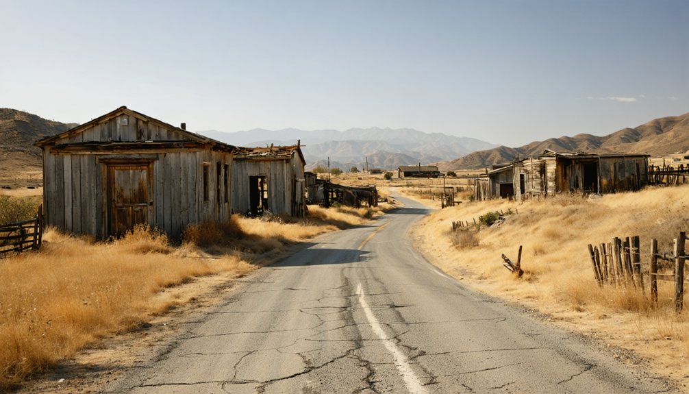
Arriving at the Ridleys Ferry site today, you won’t find a preserved historic district or interpretive center waiting for you — what’s here is quieter than that. Visitor facilities are practically nonexistent, and historical preservation efforts haven’t transformed this stretch into a curated destination.
No interpretive signs, no visitor center — just the quiet land itself, largely unchanged and uncurated.
What you get instead is raw, open landscape along the Merced River, where the past lives in geography rather than signage.
That freedom to explore without guardrails is exactly the draw for independent road-trippers who prefer discovery over guided tours.
- The south bank setting still frames the river crossing point Ridley once operated
- Bagby sits directly opposite, anchoring the two-name ghost town narrative
- The surrounding Mariposa County terrain reflects the same Gold Rush-era landscape Frémont’s miners worked
Ghost Towns Near Ridleys Ferry to Add to Your Route
Ridleys Ferry doesn’t stand alone in this stretch of California — Mariposa County is layered with ghost town history, and a single-stop road trip would leave the best parts untouched.
Bagby sits directly across the Merced River, sharing the same faded story and offering its own historical preservation value.
Further out, you’ll find scattered remnants of Gold Rush-era settlements that once hummed with miners, merchants, and dreamers chasing something bigger than themselves.
These tourist attractions aren’t polished museums — they’re open-air reminders of how fast ambition can build and abandon a place.
String them together on your route, follow the Merced River geography, and you’ll piece together a picture of an era that shaped California’s identity from the ground up.
How to Plan Your Road Trip to Ridleys Ferry

Planning a road trip to Ridleys Ferry means anchoring your route around Mariposa County and the Merced River corridor, where Gold Rush history still shapes the landscape. You’ll want to approach the site with curiosity about its cultural significance, since little physical infrastructure survives today.
Keep these route-planning essentials in mind:
- Base yourself near Mariposa town for lodging, local maps, and historical context before heading toward the Merced River.
- Research preservation efforts tied to Rancho Las Mariposas, since Frémont’s stamp mill history adds depth to your visit.
- Pair Ridleys Ferry with Bagby to build a two-site ghost town narrative along the same river stretch.
Travel light, drive curious, and let the landscape tell the story that modern development hasn’t erased.
Frequently Asked Questions
Is There an Entrance Fee to Visit the Ridleys Ferry Historical Site?
You’ll find no entrance fee to explore Ridleys Ferry’s historical significance. Simply drive out, breathe in the free air, and connect with the ferry history that shaped California’s Gold Rush era along the Merced River.
What Is the Best Time of Year to Visit Ridleys Ferry?
Spring and fall offer you the best visits, when mild weather enhances Ridleys Ferry’s scenic landscapes and historical significance feels most vivid. You’ll explore the Merced River’s ghost town legacy comfortably, without summer’s harsh heat slowing your adventure.
Are There Camping Options Near the Ridleys Ferry Ghost Town Area?
You’ll find a million ways to embrace the wild near Ridleys Ferry! Lake McClure’s campgrounds offer solid camping amenities, while nearby accommodations in Mariposa let you relive that rugged Gold Rush freedom under California’s endless, starlit sky.
Is the Ridleys Ferry Site Accessible for Visitors With Mobility Limitations?
The site lacks accessible pathways and wheelchair rentals, making visits challenging if you’ve got mobility limitations. You’ll still soak in the Merced River’s nostalgic, freedom-evoking history from nearby viewpoints without venturing across rugged terrain.
Can You Swim or Fish in the Merced River Near Ridleys Ferry?
Like Huck Finn chasing the current, you can swim and fish the Merced River near Ridleys Ferry. Always check current California fishing regulations before you cast your line into those storied, gold-rush waters.
References
- https://en.wikipedia.org/wiki/Bagby
- https://en.wikipedia.org/wiki/Ridleys_Ferry
- http://freepages.rootsweb.com/~gtusa/history/usa/ca/bagby.htm
- https://en.wikipedia.org/wiki/List_of_ghost_towns_in_California
- https://kids.kiddle.co/Ridleys_Ferry
- https://en.wikipedia.org/wiki/Calico



