Potosi Gulch sits in Shoshone County, Idaho, near the mouth of Potosi Creek at roughly 2,799 feet elevation — and it won’t show up on most maps. You’ll find deteriorating cabins, boarding house remnants, and a quiet hilltop cemetery marking two graves from the 1930s mining boom. Visit between June and September for the best road conditions, pack offline maps, and drive slowly through rugged terrain. There’s far more to this forgotten corner of Idaho’s mining history than first meets the eye.
Key Takeaways
- Potosi Gulch sits in Shoshone County, Idaho, near Beaver Creek at 2,799 feet and isn’t marked on most maps, requiring local navigation knowledge.
- Visit between June and September for dry roads, long daylight hours, wildflowers, and reliable access to the remote site.
- Bring offline maps, layered clothing, and supplies, as cell service is limited and terrain is rugged with common wildlife sightings.
- Explore deteriorating remnants including a cabin, boarding house, saloon ruins, and a small hilltop cemetery with two graves.
- Combine your visit with nearby ghost towns like Murray, Prichard, and Eagle City to enrich your Idaho mining history experience.
What’s Left at Potosi Gulch Today
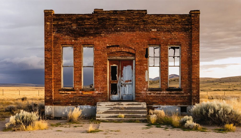
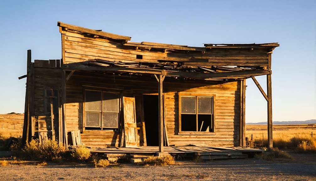
When you arrive at Potosi Gulch, don’t expect a preserved townsite or interpretive signs — what’s left is minimal and raw. One deteriorating cabin remnant stands near where Potosi Creek meets Beaver Creek, giving you a faint structural trace of what once existed.
One deteriorating cabin remnant is all that remains — a faint structural trace of what Potosi Gulch once was.
Walk the point of land above the former camp and you’ll find a small cemetery holding two graves, quietly marking lives lived during the settlement’s brief run.
There are no historic artifacts displayed, no fences, no formal boundaries. The landscape preservation here is passive — nature has simply reclaimed most of what the miners left behind.
The boarding house and saloon are long gone. What remains is honest: a rough piece of Idaho’s mining-era past sitting at roughly 2,799 feet, undeveloped and unapologetic.
Where to Find Potosi Gulch in North Idaho
Knowing what little remains at Potosi Gulch makes finding it feel even more deliberate — you’re steering toward a place that never made it onto most maps. The site sits in Shoshone County, Idaho, near the mouth of Potosi Gulch, where Potosi Creek meets Beaver Creek at roughly 2,799 feet elevation.
It’s part of the Murray and Beaver Mining District, a region rich in local legends and scattered historical artifacts from Idaho’s boom-era past. Standard maps won’t mark the original townsite, so you’ll need local road knowledge and careful wayfinding to get there.
Access is generally described as 2WD-suitable, but seasonal conditions change things fast. Treat this as a backcountry history stop, stay alert on the roads, and go with a clear sense of where you’re headed.
How to Reach Potosi Gulch by Road
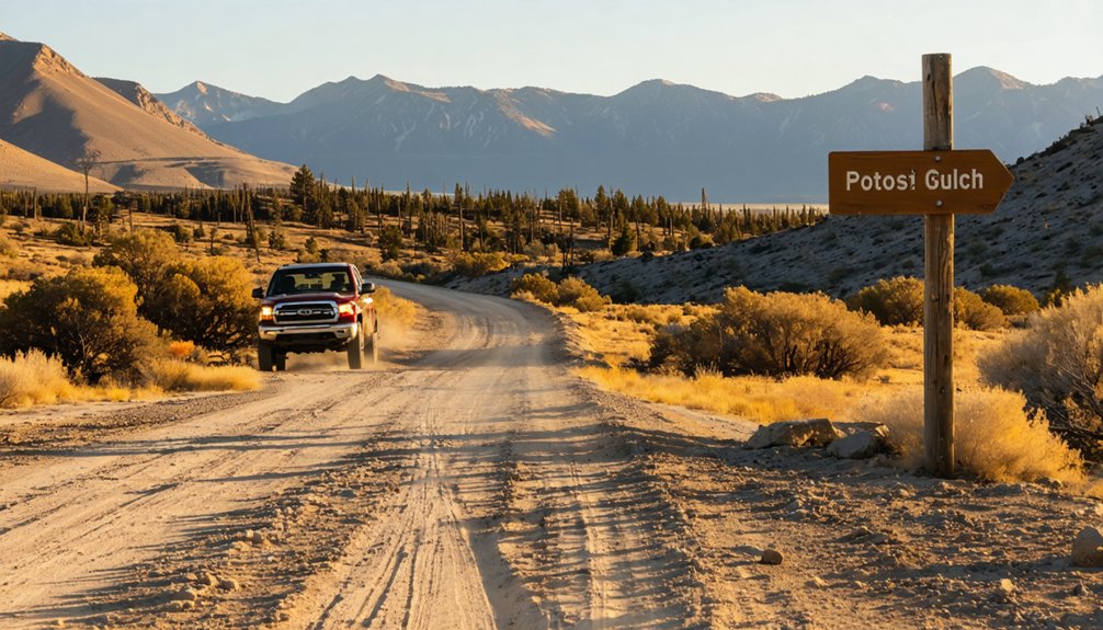
You’ll want to start your approach from the Murray and Beaver Creek corridor in Shoshone County, where local roads lead toward the mouth of Potosi Gulch.
Ghost-town listings rate the route as 2WD-accessible, but seasonal conditions can roughen the road quickly, so check conditions before you head out.
Because the original townsite was never widely mapped, you’ll need sharp wayfinding skills and reliable local road knowledge to pinpoint what little remains.
Starting Point And Access
Reaching Potosi Gulch puts you in the heart of Shoshone County, Idaho, within the historic Murray/Beaver Mining District of the state’s northern panhandle. You’ll find the site near the mouth of Potosi Gulch, where Potosi Creek meets Beaver Creek, sitting at roughly 2,799 feet elevation.
Roads into the area are listed as 2WD-accessible, giving you solid freedom to explore without a specialized vehicle, though seasonal conditions can change that quickly. Before you head out, study historic photographs and brush up on local legends tied to the Murray mining corridor — they’ll sharpen your eye for subtle details once you arrive.
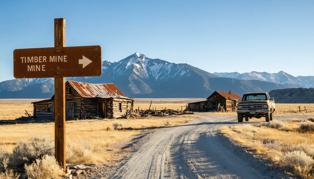
Carry a detailed map, since the original townsite was never widely charted, and expect minimal signage pointing you toward what little remains.
Road Conditions To Expect
Road conditions on the route to Potosi Gulch are listed as 2WD-accessible, so you don’t need a high-clearance rig to make the drive. That said, north Idaho’s seasonal shifts can turn a manageable dirt road into a muddy, rutted challenge fast. Spring runoff and late-fall rain are your biggest concerns, so check conditions locally before heading out.
Give yourself time to drive slowly. The terrain is rugged, the signage is minimal, and the reward is genuine solitude. Watch for wildlife sightings along Beaver Creek — deer and other animals move freely through the gulch. Keep your eyes open for any historical artifacts scattered near old claim sites.
This isn’t a paved heritage loop; it’s a raw backcountry drive that demands attention and offers real freedom in return.
Getting to Potosi Gulch requires more than good road conditions — it requires knowing where you’re actually going. The settlement was never widely mapped, and minimal remains mean landmarks are scarce. Lean on local road knowledge and careful wayfinding to avoid getting turned around in the backcountry.
Before you head out, keep these essentials in mind:
- Download offline maps — cell service disappears fast in Shoshone County’s rugged terrain
- Respect historical artifacts — what little survives deserves protection, not disturbance
- Prioritize visitor safety — tell someone your route and estimated return time
The freedom of exploring forgotten places like Potosi Gulch comes with personal responsibility. Arrive prepared, navigate deliberately, and you’ll find a quiet slice of Idaho’s mining past waiting exactly where history left it.
What to Pack for Your Potosi Gulch Visit
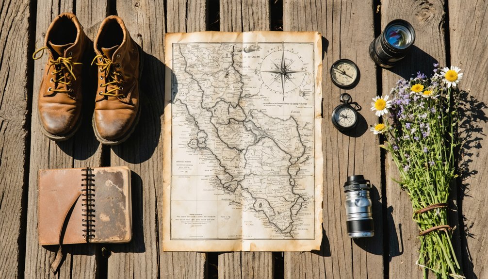
Since Potosi Gulch offers no developed facilities, services, or even a clearly marked townsite, you’ll want to pack with self-sufficiency in mind. Bring plenty of water, snacks, a first-aid kit, and a paper map since cell service is unreliable in this remote corner of Shoshone County.
For photography tips, pack a wide-angle lens to capture the single remaining cabin remnant and the small cemetery overlooking the creek confluence. Natural light works beautifully in this rugged terrain, so plan your arrival for morning or late afternoon.
Remember that historical artifacts are protected — photograph everything, but leave it undisturbed. Bring sturdy boots for uneven ground, layered clothing for shifting mountain weather, and a respectful mindset. You’re walking through Idaho’s mining history, not a curated museum.
Potosi Gulch’s Rise and Fall as a Mining Camp
Like so many camps scattered across Idaho’s northern mountains, Potosi Gulch blazed briefly and faded fast. Lead and silver drew prospectors into this rugged corner of Shoshone County, sparking a short-lived settlement complete with a boarding house and saloon.
Then, almost as quickly as it appeared, the camp vanished.
What you’ll find today tells that story quietly:
- Two graves in a small hilltop cemetery, marking lives tied to a forgotten moment in time
- Mining remnants scattered across the gulch, whispering of ambition that outpaced its rewards
- Historical artifacts reduced to a single cabin remnant, standing where an entire community once hustled
Some sources place the camp’s peak in the mid-1930s. Whatever the timeline, Potosi Gulch reminds you that freedom and fortune don’t always arrive together.
The Lead and Silver Claims That Put Potosi Gulch on the Map
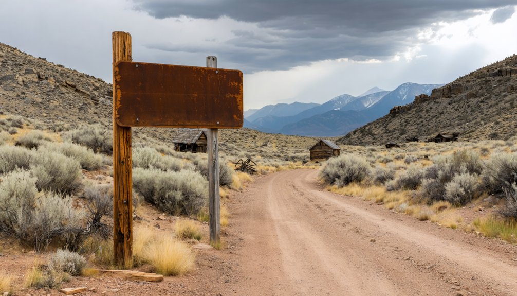
Behind every short-lived camp like Potosi Gulch, there’s a claim that started it all. Lead and silver drew prospectors into this narrow Idaho gulch, fueling enough activity to support a boarding house and saloon before the boom faded.
The Carruthers Placer stands among the documented claims that defined the district, part of the broader Murray and Beaver Mining area that shaped north Idaho’s extraction economy.
If you dig into historical photographs from the region, you’ll catch glimpses of the rugged terrain and the worn mining equipment that defined daily life here.
Claims continued working the gulch even after the main camp dissolved. That persistence tells you the ore was real, even if the town wasn’t built to last.
The mineral wealth came fast and left faster.
The Small Cemetery Above the Potosi Gulch Townsite
Few places at a ghost town stop you cold the way a small cemetery does. At Potosi Gulch, a two-grave cemetery sits on a point of land overlooking where the camp once stood. Its historical significance is undeniable — those markers represent real lives tied to a boom that vanished fast.
Few places stop you cold like a two-grave cemetery overlooking where an entire world once stood.
When you stand there, let yourself absorb what you’re seeing:
- Two graves, quietly holding the memory of a settlement that barely lasted
- A hilltop position that feels deliberate, chosen with dignity
- Silence that no photograph fully captures
Cemetery preservation matters here because there’s almost nothing else left. You won’t find interpretive signs or maintained paths. You’re reading the landscape directly. Treat it with respect, leave everything undisturbed, and carry the weight of it with you.
Ghost Towns Near Potosi Gulch in the Murray Mining District
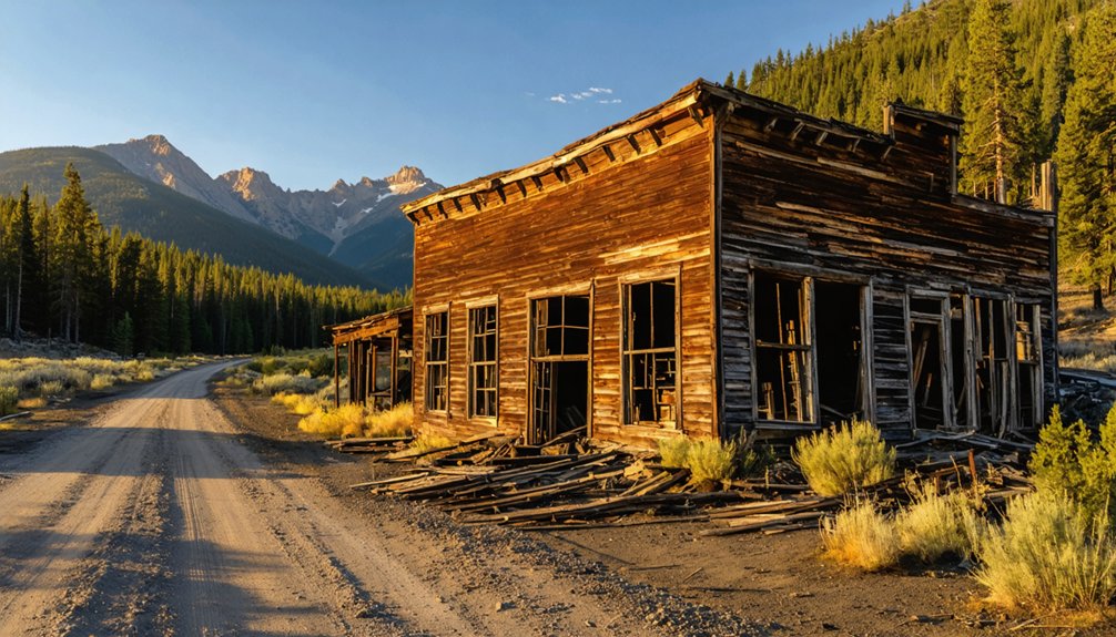
Potosi Gulch doesn’t stand alone — it’s one piece of a larger mosaic of boom-era settlements scattered across the Murray Mining District in north Idaho. When you’re planning your route, factor in nearby Murray itself, a town that carries ghost town legends of gold strikes, saloons, and fortunes lost overnight.
Prichard and Eagle City offer similar echoes of placer and hard-rock mining techniques that defined this region’s frantic rush years. Each stop adds another layer to the story you’re piecing together on the road.
You’ll find that the district rewards curious travelers who move slowly, read historical markers carefully, and ask locals what they know. The freedom to explore these connected sites makes the entire journey far richer than any single stop alone.
The Best Time of Year to Visit Potosi Gulch
Timing your visit to Potosi Gulch can make the difference between a rewarding backcountry stop and a frustrating dead end. North Idaho’s mountain terrain dictates your window, so plan accordingly.
Late spring through early fall offers the clearest access, with wildflower blooming adding raw beauty to the quiet hillsides surrounding the old camp. Avoid early spring entirely, since winter snowmelt turns remote roads into soft, rutted traps.
Here’s what shapes your experience:
- June through August delivers dry roads, long daylight, and full access to the creek-side site
- September brings crisp air, solitude, and golden foliage framing the small cemetery
- Winter and early spring close the route down practically and dangerously
Pick your window wisely, and Potosi Gulch rewards you with genuine backcountry freedom.
Frequently Asked Questions
Is Dispersed Camping Allowed Near the Potosi Gulch Townsite?
Like an open door to the wild, camping regulations here don’t lock you out — you’ll find wilderness accessibility welcoming dispersed camping near Potosi Gulch, but always verify current rules with local forest service authorities first.
Are Metal Detectors Permitted at the Potosi Gulch Historic Site?
You’ll need to research local metal detecting laws before bringing your detector to Potosi Gulch. Historic preservation rules often restrict artifact recovery at sites like this, so always verify regulations with land management authorities first.
Who Owns the Land Where Potosi Gulch Currently Sits?
land ownership at Potosi Gulch isn’t clearly documented here. You’ll want to verify with local county records to confirm historical preservation and respect any private or public boundaries.
Are the Two Cemetery Graves Marked With Legible Headstones?
The available records don’t confirm whether historic grave markers remain legible. When you visit, you’ll witness cemetery preservation challenges firsthand, as weathering and time often claim wooden or stone markers in remote Idaho ghost town sites.
Has Potosi Gulch Ever Been Featured in Idaho Historical Registries?
The available records don’t confirm Potosi Gulch’s inclusion in Idaho historical registries. You won’t find formal preservation efforts documenting its historical significance, but that mystery makes exploring this raw, forgotten ghost town even more thrilling.
References
- https://www.facebook.com/groups/1130011148218111/posts/1198042388081653/
- https://www.ghosttowns.com/states/id/potosigulch.html
- https://www.pbs.org/video/outdoor-idaho-gold-rush-days-ghost-towns/
- https://visitidaho.org/things-to-do/ghost-towns-mining-history/
- https://www.youtube.com/watch?v=rTSZSlxTmbs
- https://pnwphotoblog.com/ghost-town-of-potosi-gulch-idaho/
- https://en.wikipedia.org/wiki/Silver_City
- https://history.idaho.gov/wp-content/uploads/2018/08/0064.pdf
- https://en.wikipedia.org/wiki/List_of_ghost_towns_in_Idaho