Planning a ghost town road trip to Rainbow, Utah starts in Jensen, heads east toward Bonanza, and winds through rugged backcountry roads to a forgotten Gilsonite mining town abandoned since 1938. You’ll need a high-clearance, four-wheel-drive vehicle, offline maps, and GPS coordinates (39.8418, -109.1829). Late spring or early fall offers the best conditions. No crowds, no amenities—just raw history and scattered ruins. There’s much more to uncover about this remarkable backcountry corridor.
Key Takeaways
- Rainbow, Utah, is an abandoned 1911 Gilsonite mining ghost town in Uintah County, offering raw, unfiltered history with ruins and foundations.
- The route begins in Jensen, passes through Bonanza and Watson, and reaches Rainbow approximately 16 miles from Bonanza.
- High-clearance, four-wheel-drive vehicles are recommended, as roads are unpaved, rugged, and have limited cell service throughout the journey.
- Bring offline maps, GPS coordinates (39.8418, 109.1829), water, snacks, and first aid, as Rainbow has no amenities or signage.
- Visit during late spring or early fall for mild weather, scenic landscapes, and the most manageable backcountry road conditions.
What Was Rainbow, Utah?
Once a bustling Gilsonite mining town, Rainbow, Utah thrived in Uintah County from 1911 to 1938 before fading into the remote northeastern Utah landscape. Gilsonite, a naturally occurring solid hydrocarbon, fueled the regional economy and drew workers to this rugged corner of the state.
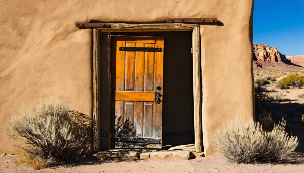
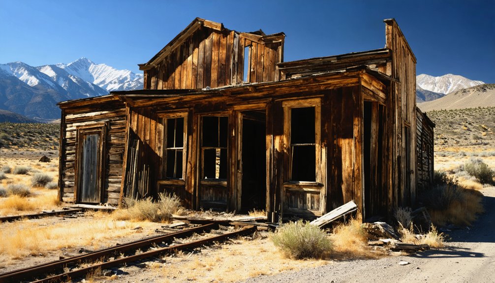
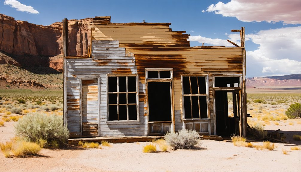
Today, Rainbow offers something different — not a polished attraction, but an honest ghost town where mining relics, crumbling foundations, and scattered rubble tell the story of what once stood here. You won’t find restored buildings or guided tours.
What you’ll find is raw, unfiltered history waiting for those willing to seek it out. If you’re drawn to remote exploration and the freedom of backroad discovery, Rainbow delivers exactly that — a quiet, forgotten place that rewards the curious traveler.
Why Gilsonite Built: and Then Abandoned: These Towns
Gilsonite is what put Rainbow on the map — and its collapse is what erased it. This rare hydrocarbon, found almost exclusively in northeastern Utah, fueled an early 20th-century boom that carved entire communities out of raw desert country. Companies needed workers, workers needed towns, and towns like Rainbow appeared almost overnight.
But Gilsonite‘s market was never stable. Demand shifted, prices dropped, and operations scaled back hard. By 1938, Rainbow was finished. Workers moved on, buildings deteriorated, and the desert quietly reclaimed what was left.
What you’ll find today are mining relics scattered across the landscape — foundations pressed into the earth, abandoned structures reduced to rubble. The freedom of exploring a place like this comes with the understanding that its story ended fast, and mostly without ceremony.
Why Rainbow Belongs on Your Ghost-Town Road Trip
Rainbow doesn’t work as a standalone detour — it works as the final payoff of a layered backroad itinerary. You’re already deep in Uintah County after rolling through Jensen and Bonanza, so pushing further southeast to Rainbow makes complete sense.
The remote access is part of the appeal — this isn’t a paved pull-off with an interpretive sign. It’s earned mileage through open country with real distance between you and everything else.
What you find at Rainbow are mining relics reduced to foundations and rubble, quiet evidence of a Gilsonite economy that once supported an entire community. That restraint is the point.
No crowds, no amenities — just a ghost town that delivers exactly what serious road-trippers come looking for: raw history and uninterrupted backcountry freedom.
How to Drive From Jensen to Rainbow, Utah
Your drive to Rainbow starts in Jensen, Utah, where you’ll head south roughly 11 miles east of town before picking up the road toward Bonanza.
From Bonanza, you’ll continue southeast, crossing the White River after about 4 miles, then pushing on through Watson before the final stretch delivers you to Rainbow’s remote ruins.
The total mileage from Bonanza adds up to around 16 miles, so plan for unpaved backcountry conditions and load the GPS coordinates (39.8418, 109.1829) offline before you leave.
Starting Point: Jensen, Utah
Getting to Rainbow, Utah starts with a single anchor town: Jensen. Tucked in northeastern Utah along U.S. Highway 40, Jensen gives you a practical, no-frills launching point before you push into serious backcountry.
From Jensen, head approximately 11 miles east, then turn south toward Bonanza. That turn commits you to a road that threads through high desert terrain carrying real cultural significance — this corridor links several Gilsonite ghost towns that define the region’s industrial past.
Don’t expect manicured stops or signage. Preservation challenges are real out here, and Rainbow’s ruins reflect decades of neglect and exposure.
Fill your tank before leaving Jensen, download offline maps, and assume cell service disappears quickly.
Jensen is small, but its role as your basecamp matters.
Navigating Through Bonanza
Once you leave Jensen and hit that southward turn, Bonanza becomes your next real checkpoint on the way to Rainbow. You’re roughly 11 miles east of Jensen before that turn, so keep your odometer honest.
From Bonanza, the route pushes deeper into remote exploration territory. You’ll cross the White River about 4 miles out, then continue southeast another 7 miles toward Watson, another Gilsonite ghost town worth a brief stop for its own mining relics.
Rainbow sits roughly 16 miles beyond Bonanza when you factor in the full stretch.
Expect unpaved backcountry conditions, limited cell service, and no services. Download offline maps before you leave Jensen. This road doesn’t forgive unpreparedness, but it rewards every driver willing to push through it.
Final Miles To Rainbow
After Watson fades in your rearview mirror, the final stretch to Rainbow feels like the road is testing your commitment one last time. The remote terrain thins out even further here, trading familiar landmarks for open scrubland and silence.
You’re closing in on coordinates 39.8418, 109.1829, where the Gilsonite boom once kept this corner of Uintah County alive from 1911 to 1938. When you arrive, don’t expect standing structures. What greets you are mining relics in their rawest form — foundations pressed into the earth, rubble scattered across the site, ruins that ask you to fill in the rest.
Download offline navigation before leaving Bonanza. Out here, your signal disappears long before Rainbow does.
Watson and Other Ghost Towns on the Same Route
Before you reach Rainbow, you’ll pass through Watson, another Gilsonite mining community that shares the same boom-and-bust story as its neighbor down the road. Both towns rose on the strength of northeastern Utah’s mineral economy and fell into ruin by the mid-twentieth century, making the drive feel like a corridor of layered history.
If you’re planning the trip, treat Jensen, Bonanza, Watson, and Rainbow as a single linked route rather than isolated stops.
Watson’s Gilsonite Mining History
As you make your way toward Rainbow, Watson appears along the same route as another ghost town shaped by the same Gilsonite mining boom. This Wild West corridor once hummed with extraction activity, and Watson tells a strikingly similar story of rise and abandonment.
Here’s what defines Watson’s mining past:
- Gilsonite demand drove settlement, pulling workers into remote northeastern Utah during the early 20th century.
- Mining relics scattered across the area hint at the industrial operation that once sustained the community.
- Bust followed boom, leaving Watson as empty and rugged as the landscape surrounding it.
Pairing Watson with Rainbow on your drive turns a single stop into a richer, more complete picture of how Gilsonite shaped and then released this entire region.
Linking Rainbow And Watson
Watson doesn’t stand alone on this stretch of northeastern Utah backroad — it connects directly to Rainbow as part of the same Gilsonite ghost-town corridor. Once you’ve walked Watson‘s grounds and taken in its mining relics, Rainbow sits just miles further down the same route, making backtracking unnecessary.
You’re already deep in remote landscapes, so continuing southeast toward Rainbow is the natural move. Both towns share the same boom-and-bust Gilsonite story, the same Uintah County terrain, and the same rugged access road.
Treating them as a paired stop rather than separate destinations saves time and sharpens the historical narrative you’re building across the drive. Jensen, Bonanza, Watson, Rainbow — that’s your corridor, and each stop adds another layer to northeastern Utah’s forgotten mining past.
Planning A Multi-Stop Route
Planning the full route means committing to Jensen, Bonanza, Watson, and Rainbow as a single connected drive rather than four separate decisions. Treat it as one backcountry corridor built for remote exploration, not a casual afternoon detour.
Pack your route before you lose signal:
- Start in Jensen and head south toward Bonanza, giving yourself time to settle into the pace of northeastern Utah’s open terrain.
- Cross the White River after Bonanza and continue roughly seven miles southeast toward Watson, where Gilsonite mining remnants mark another worthwhile stop.
- Push on to Rainbow for foundations and rubble that close out the corridor with raw, unfiltered history.
Fuel up, download offline maps, and expect unpaved conditions throughout. This route rewards preparation with the kind of freedom most road trips never deliver.
What Survives at the Rainbow Townsite
When you finally reach Rainbow, don’t expect standing walls or intact buildings — what’s left is a scattering of ruins, rubble, and exposed foundations that hint at what the town once was. The mining remnants here tell a quiet story of Gilsonite-era industry that peaked and collapsed between 1911 and 1938.
Ruins preservation isn’t the draw — raw historical atmosphere is. You’re walking ground where workers once lived and labored, and the foundations beneath your feet are the clearest proof that Rainbow existed at all.
Above ground, little survived the decades of abandonment and harsh northeastern Utah weather.
Frame your visit as a historical exploration rather than a sightseeing stop. The value is in what you piece together from what the land still shows you.
Road Conditions, Vehicle Requirements, and What to Pack
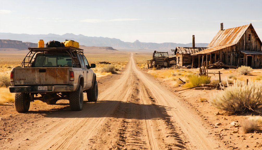
Getting to Rainbow means committing to remote backcountry travel on unpaved roads through northeastern Utah’s oil-and-mineral country — so your vehicle choice matters. High clearance is strongly recommended, and four-wheel drive gives you real insurance on rutted stretches. Cell service is unreliable, so download offline maps before you leave.
Pack smart for this run:
- Navigation — GPS coordinates (39.8418, 109.1829) saved offline plus a paper backup keep you oriented when signals drop.
- Wildlife encounters — Carry water, snacks, and a first-aid kit; remote terrain means unexpected delays if you cross paths with desert wildlife.
- Photography tips — Bring a wide-angle lens for foundation shots and shoot in early morning light to capture texture in the ruins without harsh shadows.
Out here, cell service disappears fast, and standard wayfinding apps become useless once you’re deep into Uintah County’s backcountry roads. Offline mapping protects your trip and lets you move confidently between Watson and Rainbow without second-guessing every fork.
Rainbow’s historical preservation status means there’s no developed signage or marked parking — you’re guiding yourself to a ruins site, not a trailhead. That rawness is exactly where its tourism potential lives.
Travelers who come prepared get the full reward: unfiltered ghost-town history on their own terms.
Best Time of Year to Visit Rainbow, Utah
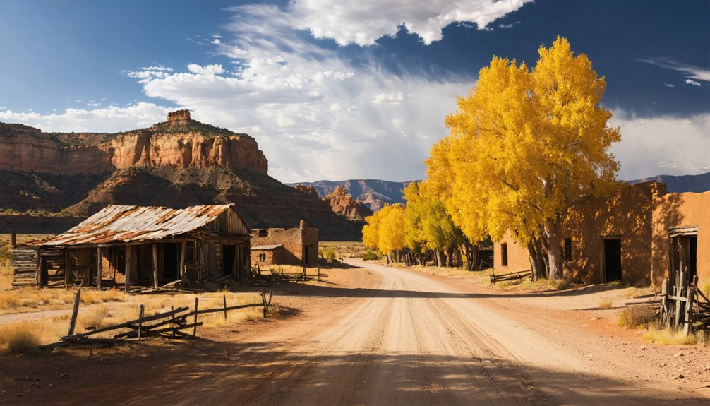
Timing your visit to Rainbow matters more than most ghost-town stops because the remote Uintah County roads that connect Jensen, Bonanza, Watson, and Rainbow can shift from passable to impassable depending on the season. Choose your window wisely for the best remote exploration experience.
Best times to visit:
- Late spring (May–June): Mild temperatures and dried-out roads make backcountry travel manageable before summer heat peaks.
- Early fall (September–October): Cooler air returns, dust settles, and the landscape frames Rainbow’s ruins and foundations beautifully.
- Avoid winter and early spring: Snow and mud turn these unpaved stretches dangerous fast.
Rainbow’s story of mining decline left behind foundations, not facilities. Nobody’s maintaining these roads for visitors, so you’re responsible for picking the right season.
Frequently Asked Questions
Is Camping Allowed Overnight Near the Rainbow Townsite?
The knowledge doesn’t confirm camping regulations or overnight permissions near Rainbow’s townsite. You’ll want to check directly with Uintah County or the BLM office before you plan any overnight stay in this remote backcountry area.
Are There Any Entry Fees or Permits Required to Visit?
Dust swirling beneath your tires, you’ll roll freely into Rainbow’s forgotten ruins — no entry fees block your path, and there aren’t any permit requirements standing between you and this raw, open ghost town.
Can Rainbow Be Combined With a Dinosaur National Monument Visit?
You can absolutely combine both stops! Dinosaur National Monument’s dinosaur fossils and historic preservation efforts sit near Jensen, placing you perfectly on the route toward Rainbow’s Gilsonite ruins for an unforgettable northeastern Utah adventure.
Is the Rainbow Site on Public or Private Land?
Dusty foundations stretch wide under open skies — the available knowledge doesn’t confirm Rainbow’s land ownership details. Before you roam those ruins, research historical preservation records and verify land ownership to guarantee you’re exploring freely and legally.
Are There Any Guided Ghost-Town Tours Available in This Area?
No guided tours are available here, but you don’t need one! You’ll explore Rainbow’s historical significance at your own pace, capturing photography opportunities among ruins and foundations that tell a raw, unfiltered story of Gilsonite mining’s boom-and-bust era.
References
- https://www.visitutah.com/things-to-do/history-culture/ghost-towns
- http://www.expeditionutah.com/forum/index.php?threads/ghost-town-rainbow-ut.5318/
- https://www.youtube.com/watch?v=s3zoXQZbKY4
- https://www.youtube.com/watch?v=uxSVuSMwOxM
- https://organizedadventurer.com/paria-rainbow-mountains/
- https://neonbison.com/rainbow-mountains-of-utah/
- https://www.travelmag.com/utah-road-trip-takes-you-to-ghost-towns-ancient-ruins-and-otherworldly-landscapes/
- https://x.com/i/grok/share/ABEvnMY8NC4da16h0ndNJqylY