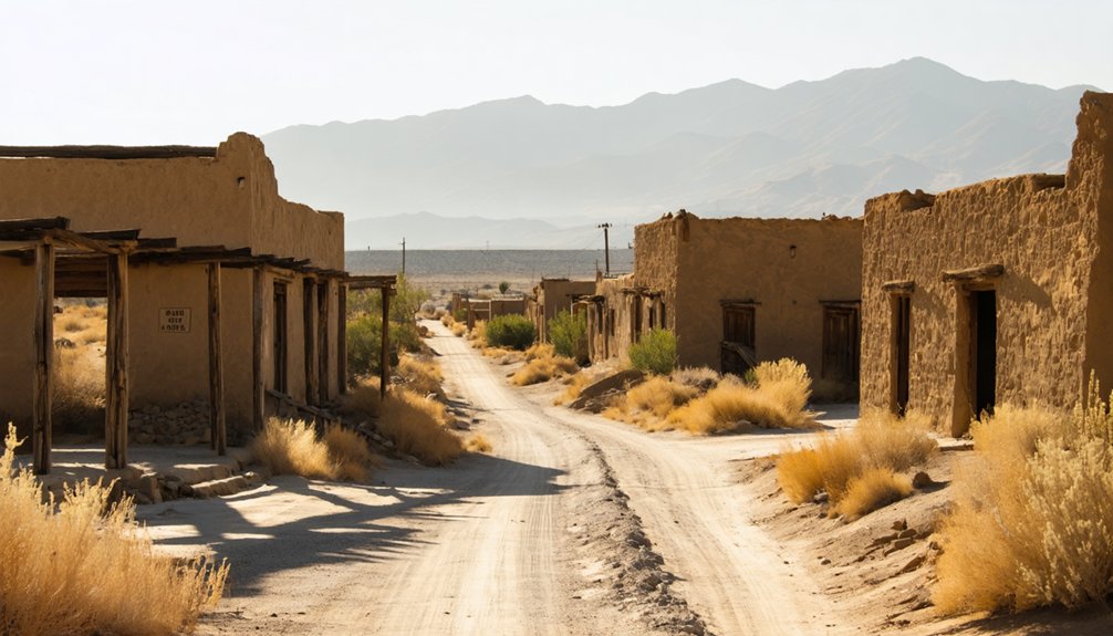
Planning a ghost town road trip to Rio Bravo, California means doing your homework first. This forgotten 1849 Mexican settlement in Kern County has no signs, no preserved buildings, and no visitor infrastructure — it’s a research point, not a roadside attraction. Don’t let your GPS mislead you toward the modern resort sharing its name. Pair it with Lake Isabella’s Whiskey Flats and Bodie for a rewarding three-site route through California’s layered, abandoned history — and there’s much more to uncover ahead.
Key Takeaways
- Rio Bravo, located near Bakersfield in Kern County, is an unmarked ghost town with no visitor facilities, preserved buildings, or interpretive signs.
- Avoid confusion with Rio Bravo Country Club; use ghost-town databases, historical maps, and alternate names like “Panama” or “Old Panama” for accurate research.
- Extend your trip 35 km north to Lake Isabella, where receding drought waters unpredictably expose Gold Rush-era Whiskey Flats remains.
- Continue further north to Bodie State Historic Park, featuring nearly 200 preserved buildings and managed infrastructure for a contrasting ghost-town experience.
- This three-site route showcases California’s abandoned communities shaped by Mexican settlement, Gold Rush mining, reservoir flooding, and railroad development.
What Is Rio Bravo: and Is It Worth the Drive?
Although it doesn’t appear on any park map or welcome sign, Rio Bravo is a documented former settlement in Kern County, California, founded in 1849 as a Mexican community along the Kern River corridor. Its name derives from Rio Bravo de San Felipe, the Spanish name for the Kern River, and the site later became known as Panama and Old Panama.
Its cultural significance lies in that layered identity — a place shaped by railroad development, river geography, and early California settlement. Preservation challenges are real here; no visitor infrastructure exists, and modern references to “Rio Bravo” often point to a country club or resort instead.
Treat it as a research-worthy map point that rewards curiosity, not a destination with interpretive signs waiting for you.
Don’t Confuse the Ghost Town With Modern Rio Bravo
Before you head out, know that searching “Rio Bravo” online will likely pull up the Rio Bravo Country Club or Rio Bravo Resort — both active, unrelated Bakersfield-area properties that share the name. This naming overlap is one of the real preservation challenges facing the original settlement’s story — modern development quietly drowns out historical identity.
The ghost town‘s cultural significance lies in its 1849 Mexican roots and railroad-era past, but that history won’t surface easily through a casual search. You’ll need to dig into Kern County ghost-town databases, historical maps, and coordinates to find the actual site.
Treat it as intentional research, not a quick Google. Knowing exactly what you’re looking for separates a meaningful road trip from a frustrating wrong turn.
Rio Bravo’s Origins as a Mexican Settlement in 1849
Once you’ve located the right Rio Bravo on the map, the history you’ll find there reaches back to 1849, when the settlement took shape as a Mexican community along the Kern River corridor.
Its name, drawn from the Spanish title Rio Bravo de San Felipe, signals the cultural roots that shaped this place long before American statehood redrew the region’s identity.
The land here didn’t exist in a vacuum. Historic land grants defined territory and authority across California’s interior, while Indigenous presence had already marked this corridor for generations before any formal settlement arrived.
When Mexican settlers established Rio Bravo, they were layering new community onto deeply inhabited ground. Understanding that context sharpens your appreciation for what the site represents beyond a simple dot on a ghost-town map.
How to Reach Rio Bravo in Kern County
Getting to Rio Bravo means steering Kern County’s rail and river geography with some care. You’ll want to anchor your route around Bakersfield, then push north along the old railroad corridor where this former Mexican settlement once stood.
The site sits roughly 2 miles north of Panama — a name the settlement itself once carried.
Don’t expect historic architecture or marked trailheads waiting for you. Rio Bravo functions as a map point, not a visitor center.
Cross-reference coordinates carefully, because modern developments like Rio Bravo Country Club share the name and can easily pull you off course.
Lean into local legends as you navigate the area, and treat this stop as a research waypoint embedded inside a broader, freedom-driven Kern County ghost-town route.
A Vanished Railroad Town: What the Site Looks Like Today
When you arrive at the Rio Bravo site, you won’t find preserved buildings, interpretive signs, or a formal visitor area — the railroad-era settlement has left behind little that’s publicly documented or developed.
You’ll also need to watch for modern name confusion, since the Rio Bravo Country Club and Rio Bravo Resort operate in the broader Bakersfield area and have no connection to the historic ghost town.
Treat the site as a map point and historical waypoint rather than a developed attraction, and pair it with better-documented stops to build a fuller road trip.
Railroad Era Remains
What remains at Rio Bravo today tells a quiet but telling story. The railroad once defined this settlement’s identity, positioning it two miles north of Panama along a corridor that promised growth. Now, historical documentation offers more texture than the landscape itself does. You won’t find preserved depots or interpretive signs marking where tracks once ran.
Preservation challenges have shaped this reality — without institutional support, railroad-era infrastructure simply disappeared into the surrounding terrain over time.
What you can do is trace the story through maps, county records, and period references before you arrive. That preparation transforms an otherwise unmarked location into something meaningful. You’re reading the land through its absence, which is its own kind of discovery for travelers who value unfiltered, unmediated history.
Limited Visitor Infrastructure
That absence of railroad infrastructure extends to every other layer of visitor amenity — because there aren’t any. Rio Bravo carries no park designation, no interpretive signage, and no operating hours, because ghost town preservation never reached this site in any formal way. You’re working with coordinates and historical records, not a curated experience.
Modern place names complicate your research further. Search “Rio Bravo” today and you’ll pull up a country club and resort that share nothing with the 1849 settlement. That naming confusion can send you in completely the wrong direction.
Treat Rio Bravo as a map point and historical waypoint rather than a destination with guaranteed remains. Your freedom here is intellectual — tracing what existed through documentation rather than walking through preserved streets.
Search “Rio Bravo” today and you’ll face an immediate problem: the results point to a country club and resort that share nothing with the 1849 settlement. Modern branding has effectively buried the original name, creating real preservation challenges for anyone trying to research the site’s cultural significance.
You’ll need to search specifically for “Rio Bravo ghost town Kern County” or cross-reference the alternate names Panama and Old Panama to filter out the noise.
Historical maps and ghost-town databases will serve you far better than a standard search engine query. Before you hit the road, verify coordinates through reliable California ghost-town registries.
That extra step keeps you from pulling into a golf course parking lot instead of standing on genuinely historic former settlement ground.
Whiskey Flats: The Kern County Ghost Town That Resurfaced
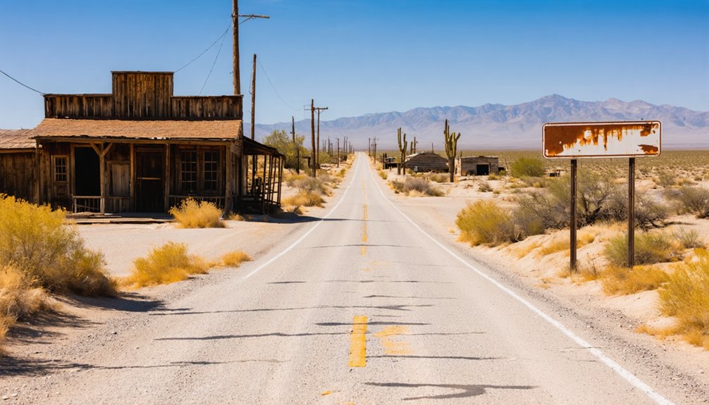
If you’re building a Kern County ghost-town itinerary, Whiskey Flats offers a story unlike almost any other site on the list. The former Gold Rush settlement spent roughly 70 years submerged beneath Lake Isabella before receding waters brought it back into view.
You can now walk terrain that was underwater for decades and examine exposed remains that the reservoir had hidden since the lake’s creation.
Whiskey Flats Underwater History
How does a Gold Rush-era town vanish for roughly 70 years, only to resurface like a ghost refusing to stay buried? When Lake Isabella’s water levels dropped, Whiskey Flats reappeared, exposing cultural influences and economic impacts frozen in time beneath the reservoir.
You’re looking at Gold Rush-era remains that drought reclaimed from obscurity, sitting roughly 35 kilometers from Bakersfield.
Here’s what makes Whiskey Flats worth your detour:
- Submerged structures re-emerged after decades underwater
- The site reflects authentic Gold Rush cultural influences on Kern County
- Economic impacts from mining shaped the town’s original layout
- Receding lake levels created a rare, time-sensitive viewing window
Don’t wait — water levels fluctuate, and this ghost town could disappear beneath the surface again without warning.
Lake Isabella’s Receding Waters
Drought did what no historian could — it pulled Whiskey Flats back out of Lake Isabella‘s grip. When the reservoir’s water levels dropped dramatically, Gold Rush-era remains resurfaced after roughly 70 years submerged. You’re looking at a rare moment where nature hands you a history lesson without a museum ticket.
Lake Isabella sits about 35 kilometers from Bakersfield, making visitor accessibility straightforward on a Kern County road trip. However, conditions shift with rainfall patterns, so you’ll want to verify current water levels before heading out.
Historical preservation isn’t orchestrated here — the site exposes and disappears based purely on drought cycles.
That unpredictability is exactly what makes it compelling. You’re not visiting a curated exhibit; you’re catching history between appearances.
Exposed Gold Rush Remains
When Lake Isabella pulls back, it doesn’t leave behind a tidy archaeological site — it leaves behind raw evidence of lives interrupted. Whiskey Flats emerged after roughly 70 years underwater, giving you direct access to Gold Rush-era remains tied to real mining history and local legends passed down through Kern County generations.
You’re not walking through a museum — you’re reading the land itself.
What you can explore at Whiskey Flats:
- Structural remnants from a submerged Gold Rush-era community
- Physical evidence connecting local legends to documented mining history
- A landscape shaped by both human ambition and reservoir flooding
- Authentic, unrestored remains that reward curiosity over comfort
Add this stop before or after Rio Bravo, and your road trip gains serious historical weight.
Bodie Preserved vs. Rio Bravo Unmarked: Two Different Experiences
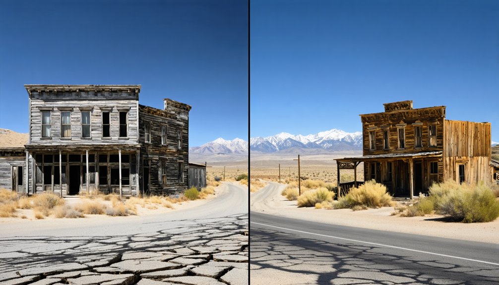
If you’ve ever walked through Bodie State Historic Park, you already know what a fully realized ghost-town experience feels like—nearly 200 abandoned wooden buildings frozen in “arrested decay,” a former population of roughly 8,000 residents, and state-managed infrastructure that makes the site genuinely accessible.
Rio Bravo offers something fundamentally different. Here, historical accuracy matters more than atmosphere. No maintained trail guides you through the site, and preservation challenges mean there’s little physical evidence left to interpret.
You’re essentially charting a map point shaped by railroad-era development and a Mexican settlement founded in 1849. That contrast is actually the story.
A map point. A railroad. A settlement. Sometimes that’s all history leaves behind.
Bodie shows you what survival looks like with institutional support. Rio Bravo shows you what disappearance looks like without it. Both experiences are worth understanding before you hit the road.
A Three-Site Kern County Ghost Town Road Trip Route
Combining Rio Bravo, Whiskey Flats, and Bodie into a single road trip gives you three distinct chapters of California’s abandoned past. Each site reflects different forces — railroad-era urban development, reservoir flooding, and mining-boom collapse — that shaped and erased communities across the state.
You’ll move from sparse historical coordinates to submerged Gold Rush remains to genuine cultural preservation all within one itinerary.
- Start at Rio Bravo as your research waypoint near Bakersfield
- Drive roughly 35 kilometers to Lake Isabella to explore Whiskey Flats’ re-emerged ruins
- Continue north to Bodie for nearly 200 preserved wooden structures
- Document the contrast between unmarked sites and protected landmarks for your own records
This route lets you experience California’s forgotten places on your own terms.
How to Research a Sparse Ghost Town Before You Drive Out
Before you load Rio Bravo’s coordinates into your GPS, you’ll want to set realistic expectations — and that starts with research. Sparse ghost towns like Rio Bravo carry real cultural significance, but preservation challenges mean you won’t find visitor centers or interpretive signs waiting for you.
Start with California ghost-town databases and county historical society records. Cross-reference coordinates against satellite imagery to confirm what’s actually visible on the ground. Search local Kern County archives for railroad-era documentation that contextualizes the settlement’s 1849 origins.
Watch for name confusion — modern references to “Rio Bravo” often point to a country club or resort, not the former settlement. Verify every source independently. Treat Rio Bravo as a map point backed by solid research rather than a guaranteed developed destination.
Frequently Asked Questions
What Does the Name Rio Bravo De San Felipe Actually Mean?
“Rio Bravo de San Felipe” translates to “the fierce river of Saint Philip,” reflecting the historical significance of Spanish colonial cultural influences. You’re exploring a name that beautifully captures both the Kern River’s powerful spirit and its sacred heritage.
Were Any Structures From the 1849 Settlement Ever Photographed?
You won’t find confirmed historical photographs of Rio Bravo’s 19th century settlement in available sources. The documentation remains sparse, so you’re fundamentally chasing ghostly echoes rather than captured images of those original 1849 structures.
Did Rio Bravo Ever Have a Post Office During Its Operation?
Like whispers lost to wind, Rio Bravo’s ghost town postal services remain undocumented in available sources. You won’t find confirmed records of historical post office closures here, making this settlement a tantalizing mystery worth researching before your visit.
What Other Former Settlements Exist Within Kern County’s Ghost Town Network?
You’ll find Kern County’s ghost town network rich with former settlements shaped by railroad-era development and mining history. Explore these sites for historical preservation and unique tourist attractions that reveal the region’s fascinating, freedom-filled abandoned past.
Is Rio Bravo Accessible Year-Round Given Kern County’s Climate?
You’ll find Rio Bravo accessible year-round, but climate considerations matter. Kern County’s hot summers can be brutal, so you’ll want to plan around seasonal accessibility, favoring cooler spring or fall months for your most comfortable ghost-town adventure.
References
- https://nvtami.com/kern-county-california-ghost-towns/
- https://www.monocounty.org/places-to-go/bodie/
- https://www.parks.ca.gov/bodie
- https://adventure.com/ghost-town-emerges-from-shrinking/
- https://en.wikipedia.org/wiki/Rio_Bravo_(former_settlement)
- https://en.wikipedia.org/wiki/List_of_ghost_towns_in_California
- https://www.latimes.com/archives/la-xpm-2001-sep-23-tr-48836-story.html
- https://www.sfgate.com/centralcalifornia/article/rio-bravo-country-club-21959326.php
- https://en.wikipedia.org/wiki/Rio_Bravo



