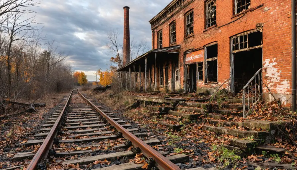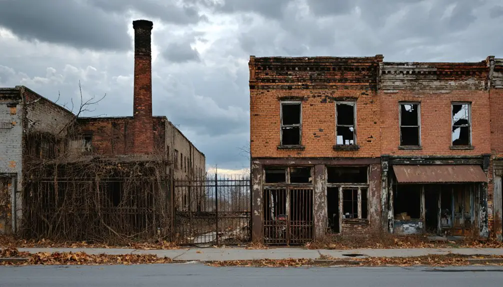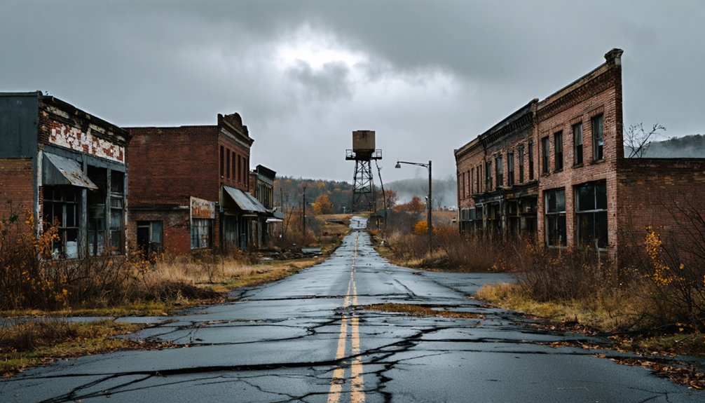
Planning a ghost town road trip to Robindale, Pennsylvania means heading into Indiana County‘s coal-scarred Allegheny Plateau, where a once-thriving mining and timber community vanished entirely by the 1930s. You won’t find signage, ruins, or marked trails—just reclaimed landscape that rewards patient, well-researched exploration. Start from Pittsburgh via Route 422, verify land ownership before visiting, and pack offline maps, sturdy footwear, and a camera. There’s far more to uncover about this forgotten corner of Pennsylvania history.
Key Takeaways
- Robindale, a ghost town in Indiana County, Pennsylvania, vanished after coal and timber industries collapsed, with all structures removed by the 1930s.
- Use Indiana, PA as your base, heading east on Route 422, and rely on offline maps due to limited rural cell service.
- Research the site using USGS maps, Sanborn maps, and county atlases; consult the Indiana County Historical Society for accurate location details.
- Verify land ownership through county deed records and obtain permission before visiting, as trespassing laws apply to abandoned sites.
- Pack sturdy footwear, weather-appropriate gear, a camera, and a notebook, as no signage, trails, or ruins mark the site.
What Is Robindale and Why Does It Qualify as a Ghost Town?
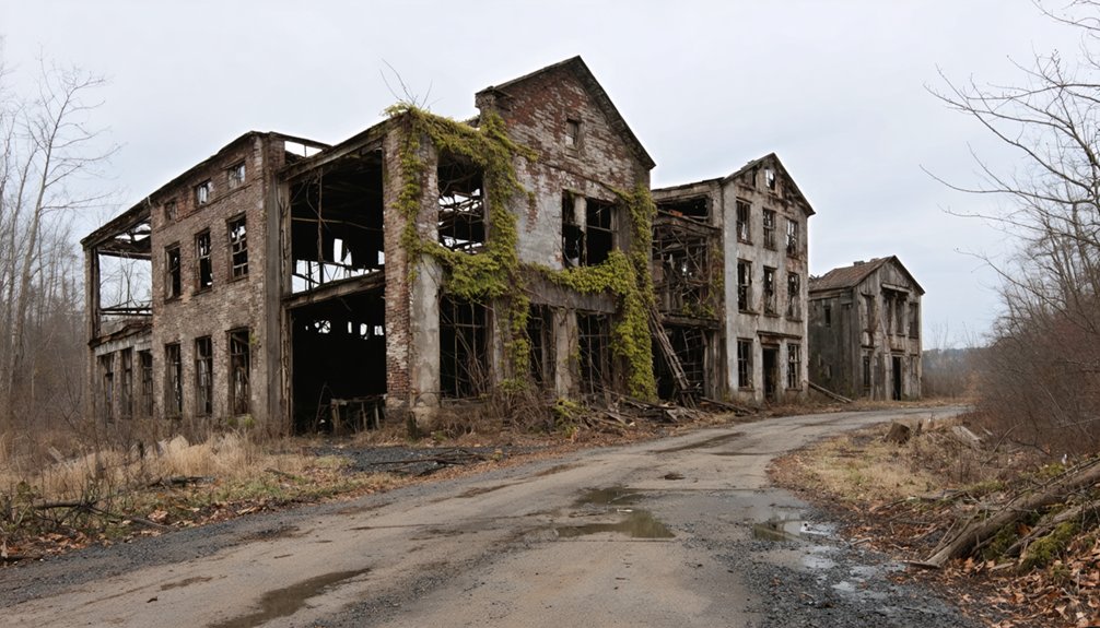
Tucked into the coal-scarred landscape of Indiana County, Pennsylvania, Robindale earns its ghost-town designation the hard way — not through dramatic catastrophe, but through the slow, grinding logic of industrial collapse.
Robindale didn’t burn or flood — it simply became unnecessary, dismantled by the quiet brutality of industrial decline.
When the coal ran out and the mills shuttered in 1913, the town’s reason for existing vanished with them. By the 1930s, the last house was torn down, and changing land use erased nearly every trace of the community.
You won’t find preserved storefronts or dramatic ruins here. What you’ll find is a location where a working-class town once stood, breathed, and disappeared.
That erasure is precisely what qualifies Robindale as a ghost town — a place where industrial decline didn’t just slow things down; it removed them entirely.
Where Exactly Is Robindale Located in Pennsylvania?
When you start mapping your route, you’ll want to set your sights on Indiana County in western Pennsylvania, a region shaped by the Allegheny Plateau and a long history of coal and industry.
Sources also connect Robindale to the area near Seward, west of Johnstown, which gives you two potential geographic anchors to cross-reference before you hit the road.
Because no single source pins down an exact address or coordinates, you’ll need to layer both references against a detailed map to zero in on the site.
Indiana County Regional Context
Nestled in western Pennsylvania’s Allegheny Plateau, Indiana County puts Robindale squarely in a region shaped by coal extraction, rugged terrain, and industrial decline. You’re entering territory where boom-and-bust cycles left dozens of communities hollow, making historical preservation an ongoing challenge rather than a guarantee.
The county sits within the broader Laurel Highlands corridor, giving you access to dramatic landscapes alongside forgotten industrial history. Before you head out, research land ownership carefully — former mining communities often sit on private or reclaimed industrial land, meaning access isn’t always straightforward.
Indiana County’s coal heritage connects directly to Robindale’s story, so understanding the regional context sharpens your appreciation of the site. You’ll find the area rewards curious, self-directed travelers willing to dig past the surface.
Proximity To Seward
Where exactly does Robindale fall on Pennsylvania’s map? One source places it near Seward, west of Johnstown, in the broader Allegheny Plateau region. That puts you in western Pennsylvania’s rugged industrial heartland, where coal towns once thrived and quietly disappeared.
Seward itself sits in Westmoreland County, making Robindale a borderland reference point between Westmoreland and Indiana County territories. Before you load up the car, understand that historical preservation efforts here appear minimal, and the site likely exists more as a geographic memory than a marked destination.
Land use regulations may also restrict access depending on current property ownership, so research local rules before you go. Freedom-loving explorers should come prepared with maps, flexibility, and realistic expectations about what they’ll actually find on the ground.
How Coal and Timber Collapsed Robindale’s Economy
Like many western Pennsylvania communities, Robindale rose and fell on the strength of its natural resources. Coal mining drove early growth, pulling workers and families into the region. Timber fed the mills, keeping the local economy moving. But neither resource lasted.
When the lumber supply ran out, the mills closed in 1913, triggering swift industrial decline. Without steady work, residents left. By the 1930s, resource depletion had stripped the town so completely that crews tore down the last remaining house. Nothing was preserved.
No industry replaced what vanished. Robindale’s collapse wasn’t dramatic or sudden — it was a slow erasure driven by exhausted land. That pattern repeated across Pennsylvania’s coal and timber belt, making Robindale one quiet example of a much larger story.
What’s Actually Left to See at Robindale Today?
If you’re hoping to find crumbling storefronts or photogenic ruins, Robindale will likely humble your expectations — most structures were removed by the 1930s, leaving little visible above ground.
You’ll fundamentally be searching for a historical location rather than touring a preserved site, which means solid map research and local knowledge are essential before you make the drive.
Access details, land ownership, and legal visitation rules remain poorly documented, so you’ll want to verify those specifics before setting foot on the property.
Visible Remains Today
Although Robindale once hummed with coal-mining activity, you’ll find very little standing there today. The last house was torn down in the 1930s, leaving behind a landscape stripped of its former identity.
Unlike ghost towns where urban decay creates hauntingly photogenic scenes, Robindale offers no crumbling facades or industrial remnants to photograph.
The mills closed in 1913 once the lumber supply ran dry, and nature has largely reclaimed whatever the demolition crews left behind.
You’re fundamentally visiting a historical coordinate rather than a preserved site. Don’t expect signage, ruins, or marked trails guiding you through the past.
Instead, bring a strong sense of curiosity and do your mapping research beforehand. This stop rewards history enthusiasts willing to use their imagination more than their camera.
Site Access Challenges
Reaching Robindale presents its own set of hurdles before you even consider what’s left to see. No confirmed public access points, marked trailheads, or official signage guide you in.
Unlike Centralia, where you can walk cracked streets freely, Robindale carries real access restrictions that stem partly from unclear land ownership and partly from preservation challenges tied to its near-total physical disappearance. When buildings vanish and no agency steps in to protect a site, formal visitor infrastructure simply doesn’t develop.
You’ll need to research current land ownership before you go, since trespassing on private Pennsylvania property carries legal consequences. Treat this stop as detective work rather than a casual pullover.
Solid preparation, including contacting local Indiana County historical societies, dramatically improves your chances of a meaningful, legal visit.
Which Archives and Maps Can Pinpoint Robindale’s Location?
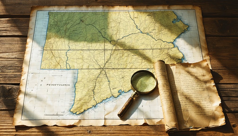
Because Robindale’s ground-level evidence has largely vanished, archival and cartographic sources become your most reliable tools for pinning down its exact location. Start with historical maps from the USGS topographic archive, where older quadrangle sheets often label discontinued communities that modern maps quietly erase.
Archival maps outlast the towns they once recorded, preserving what the landscape itself has forgotten.
The David Rumsey Map Collection offers digitized Pennsylvania county atlases that can reveal Robindale’s original footprint.
For archival records, check the Indiana County Historical and Genealogical Society, which holds deed books, mine permits, and township plats tied to coal-era settlements. Pennsylvania State Archives in Harrisburg stores company records and census schedules that may confirm population clusters.
Cross-referencing Sanborn fire insurance maps with county deed indexes narrows your search considerably. Together, these sources give you the coordinates that no roadside marker currently provides.
Is It Legal to Visit Abandoned Sites Like Robindale?
Once you’ve tracked down Robindale on an old quadrangle sheet, the next question isn’t how to get there—it’s whether you’re legally allowed to set foot on the property.
Abandoned doesn’t mean public. Legal restrictions vary sharply depending on property ownership—the land could belong to a private timber company, a coal conglomerate, or a county authority. Trespassing laws apply regardless of how forgotten a place looks.
Before you drive out, check county deed records to identify the current owner, then contact them directly. Some landowners grant access; others don’t.
State forests and game lands follow their own rules, often permitting foot travel. Know who holds the deed, respect their answer, and you’ll explore freely without legal consequences shadowing the trip.
How Does Robindale Compare to Centralia?
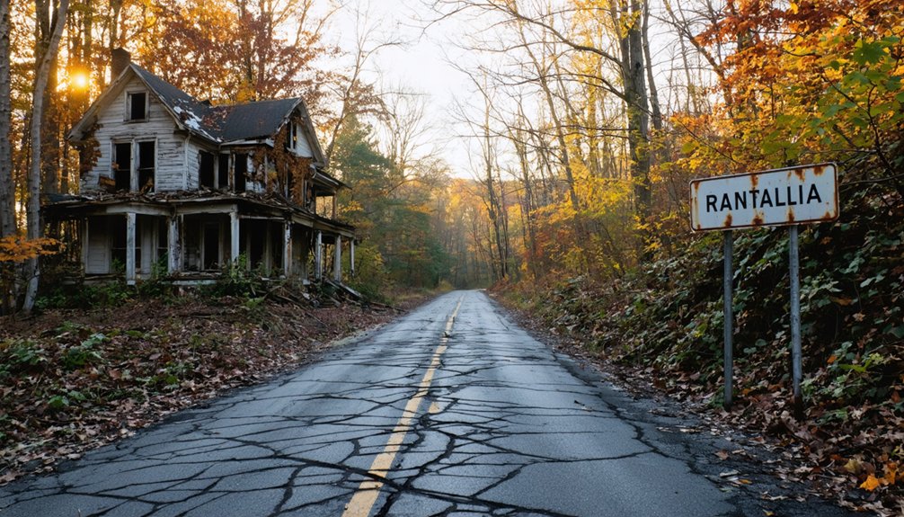
Both towns carry Pennsylvania’s coal-country DNA, but they’ve aged in completely different ways.
Centralia became infamous — a living urban decay spectacle with cracked roads, steam vents, and a storyline that draws thousands yearly. Robindale quietly disappeared, leaving almost no industrial remnants behind. Here’s how they stack up:
- Visibility: Centralia’s collapse is dramatic and photogenic; Robindale offers little above-ground evidence of its former life.
- Tourism infrastructure: Centralia has documented access routes and visitor awareness; Robindale demands independent research before you go.
- Abandonment cause: Centralia burned from a 1962 mine fire; Robindale declined gradually through industrial exhaustion, with its last structures removed by the 1930s.
If Centralia is a ghost town you photograph, Robindale is one you hunt for.
Plan Your Robindale Route Through Indiana County
If you’re driving from Pittsburgh, hop on Route 422 East toward Indiana, Pennsylvania, which puts you squarely in Indiana County and closest to where Robindale once stood.
Once you’re in the county, expect to navigate a mix of state routes and rural back roads, so download offline maps before you leave since cell service gets spotty fast.
While you’re out there, pair the stop with other nearby ghost-town sites to make the drive worth it, since Robindale itself likely offers little more than open land and historical imagination.
Starting Point And Highway
Planning your route to Robindale starts with anchoring yourself to Indiana County in western Pennsylvania, part of the rugged Allegheny Plateau that stretches across the region. You’ll want a solid highway foundation before chasing local legends across backroads where ghost towns quietly dissolve into hillsides.
Use these three starting points to frame your drive:
- US-422 connects you directly through Indiana County, serving as your primary east-west corridor.
- Indiana, PA works well as your base town for fuel, lodging, and historical preservation research before heading out.
- Seward, near Johnstown, anchors the western reference point for the Robinson/Robindale area, giving you a geographic cross-check.
Keep your maps flexible — ghost-town coordinates aren’t always precise, and the freedom of discovery often means improvising.
Once you’re off US-422 and pushing into Indiana County’s back roads, the real navigation challenge begins — paved routes give way to winding rural lanes where old mining communities once thrived and now barely register on modern maps.
Download offline maps before you leave; cell service drops fast out here. Watch for unmarked intersections and shifting land use patterns — former mining parcels have been absorbed into farmland, timber operations, and private holdings over decades.
Historical preservation efforts in this region are minimal, so don’t expect signage pointing you toward Robindale. You’re fundamentally tracking a place that disappeared by the 1930s.
Cross-reference county road maps with Pennsylvania ghost-town directories to triangulate your approach. Treat the drive itself as part of the discovery — these hollow back roads tell the story before you even arrive.
Nearby Ghost Town Stops
Robindale won’t be your only reward on this stretch of Indiana County — the region’s coal and industrial past left behind several other ghost-town sites worth folding into your route. Pair your visit with these stops to build a fuller picture of Pennsylvania’s industrial decline and scattered historical preservation efforts:
- Centralia – Where an underground mine fire has burned since 1962, shrinking a community of 1,000 to nearly nothing by 2020.
- Seward area – Robinson/Robindale’s factory-town neighbor offers context for post-1977 flood abandonment patterns.
- Indiana County mining settlements – Small coal patches dot the region, some showing quiet community revitalization, others frozen mid-collapse.
Together, these stops transform a single detour into a layered journey through Pennsylvania’s industrial past.
Ghost Towns Near Robindale Worth Adding to Your Route
Since you’re already heading into western Pennsylvania’s ghost-town territory, it’s worth stretching your route to include stops that offer more visible history than Robindale’s largely erased footprint.
Centralia stands out as the region’s most striking example of industrial decline — a coal-seam fire ignited in 1962 and burned the community down to just five residents by 2020. You’ll find cracked roads, warning signs, and eerie open land that make historical preservation feel urgent and real.
Near Seward, other forgotten factory communities share Robindale’s story of resource exhaustion and abandonment. Pairing these stops gives your road trip genuine depth, letting you trace Pennsylvania’s coal and timber collapse across multiple sites rather than searching one field for foundations that vanished decades ago.
What to Bring When Visiting Unmarked Pennsylvania Ghost Towns
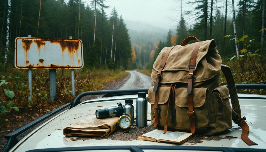
Visiting an unmarked ghost town like Robindale means trading clearly labeled trailheads for overgrown fields and guesswork, so preparation makes the difference between a productive trip and a wasted afternoon.
Given Robindale’s preservation challenges and limited documentation, you’ll want to arrive equipped and self-reliant.
Robindale rewards the prepared visitor — come ready to navigate, document, and explore without relying on outside help.
- Navigation tools – Download offline maps and note GPS coordinates beforehand, since cell service gets unreliable in Indiana County’s rural stretches.
- Camera and notebook – Document everything you observe; recording details honors the site’s historical significance and contributes knowledge others lack.
- Sturdy footwear and weather gear – Overgrown, uneven terrain defines abandoned industrial sites, and Pennsylvania weather shifts fast.
You’re exploring on your own terms here, so pack smart and treat the landscape respectfully.
Frequently Asked Questions
Did Anyone Famous Ever Live in Robindale During Its Peak Years?
No records confirm famous residents or notable landmarks tied to Robindale’s peak years. You’re exploring a working-class coal town where ordinary miners shaped daily life, leaving behind a quietly powerful legacy worth discovering on your road trip.
Are There Any Local Festivals or Events Commemorating Robindale’s History?
No local festival traditions or historic event celebrations tied to Robindale’s memory appear documented. You’ll find the town’s story fading quietly into forgotten fields, leaving you to uncover its ghostly past through independent research and exploration.
Can You Find Robindale Merchandise or Historical Photos at Nearby Shops?
You won’t easily find Robindale merchandise, but you can explore local souvenir shops in nearby Indiana County towns and dig into historical photo collections at regional heritage centers, uncovering forgotten stories that’ll fuel your adventurous ghost-town spirit.
What Wildlife Species Now Inhabit the Former Robindale Townsite Today?
No documented sources confirm which animal species you’ll find there, but wildlife resurgence is common at abandoned industrial sites — you’d likely encounter deer, foxes, wild turkey, and various birds reclaiming Robindale’s forgotten landscape naturally.
Has Robindale Ever Appeared in Pennsylvania Ghost Town Documentaries or Films?
You won’t find Robindale featuring in known Pennsylvania ghost town documentaries or films. Its abandoned structures and ghost town legends remain largely undiscovered by filmmakers, leaving you free to uncover its forgotten story yourself.
References
- https://en.wikipedia.org/wiki/List_of_ghost_towns_in_Pennsylvania
- https://uncoveringpa.com/ghost-towns-in-pa
- https://www.jeffreydonenfeld.com/blog/2009/12/exploring-the-ghost-town-of-centralia-pennslvania/
- https://en.wikipedia.org/?title=Category:Stub-Class_Ghost_town_articles&from=N
- https://en.wikipedia.org/wiki/Centralia
- https://www.youtube.com/watch?v=isRTfPKPsNo