You’ll find San Rafael Ghost Town exactly where Arizona’s grasslands meet the Mexican border—silent, sealed off, and steeped in a ranching history that stretches back to 1600s Spanish land grants. Start your trip in Tucson, drive sixty miles south toward Patagonia, and follow Harshaw Road to Forest Service Road 61 for sweeping cinematic views of the valley. Nearby ghost towns like Harshaw and Lochiel add rich frontier texture to the journey, and there’s far more to this story than the map reveals.
Key Takeaways
- San Rafael Ghost Town, located 60 miles south of Tucson in Pima County, Arizona, is managed by The Nature Conservancy and closed to public entry.
- Access the site legally via Forest Service Road 61, which provides scenic views of the pristine grasslands without entering protected land.
- Begin in Tucson, drive south to Patagonia, then follow Taylor Road, Harshaw Road, and Forest Service Road 61 to reach the valley.
- Nearby stops include Harshaw Cemetery, adobe ruins, and Lochiel—a small border ghost town—adding historical depth to the road trip.
- Stay alert near the border corridor, never leave vehicles unsecured, and carry fuel, supplies, and offline maps for remote travel.
What Is San Rafael Ghost Town: and Why Is It Closed?
Tucked within the lush San Rafael Valley of Pima County, Arizona, San Rafael is a confirmed ghost town with roots stretching back to the 1600s, when cattle ranchers first worked the land under the San Rafael de la Zanja land grant. This rich ranching history shaped the settlement for centuries until tensions fractured the peace.
In November 1865, roughly 350 Opata volunteers raided the town, wounding an American citizen and disrupting operations beyond recovery.
Today, you can’t freely explore what remains. The Nature Conservancy closed the site to protect endangered species habitat and pristine grasslands, following the Sharp family’s stewardship from 1903 to 1999.
Those historical land grants that once promised open range now rest behind conservation boundaries — accessible only through a distant glimpse from Forest Service Road 61.
Why Did San Rafael Boom and Then Disappear?
Cattle ranching built San Rafael long before it ever had a name worth remembering. Historical land grants dating back to the 1600s under the San Rafael de la Zanja grant gave ranchers legal footing on that rich grassland. For centuries, the valley thrived on open range and hard work.
Then the cracks appeared. On November 24, 1865, roughly 350 Opata volunteers raided the settlement, wounding an American citizen and rattling the community’s confidence. That single event accelerated ranching decline and pushed families toward safer ground.
The disruption proved too costly to recover from. What had once been a productive ranching hub slowly emptied out, leaving behind only the landscape you still see today — pristine, quiet, and indifferent to the ambitions that once shaped it.
Can You Actually Visit the San Rafael Ghost Town?
If you’re hoping to walk through San Rafael’s remnants yourself, you’ll hit a firm boundary before you ever reach the grounds. The Nature Conservancy closed the site to public access after acquiring it from the Sharp family in 1999, protecting the valley’s pristine grasslands and endangered species habitat from human disruption.
You can only glimpse the landscape from Forest Service Road 61, where the same sweeping vistas that starred in the 1955 film *Oklahoma!* stretch out just beyond your reach.
Current Public Access Status
Unfortunately, San Rafael ghost town is currently closed to the public, so you won’t be setting foot on its historic grounds anytime soon. The Nature Conservancy now stewards this land, prioritizing historical preservation and wildlife habitat protection above open access.
Here’s what you should know before making the drive:
- The Sharp family owned the ranch from 1903 until transferring it to The Nature Conservancy in 1999
- Endangered species depend on the valley’s pristine grasslands
- No public entry is permitted onto the protected property
- Forest Service Road 61 offers your only legitimate glimpse of the landscape
- The same cinematic valley you’ll see starred in the 1955 film Oklahoma!
You can still feel the valley’s wild, untamed spirit from the road.
Conservation Closure Reasons
The Nature Conservancy closed San Rafael specifically to shield its endangered species habitat and pristine grasslands from the kind of foot traffic that quietly destroys what it intends to celebrate.
Historical preservation isn’t just about protecting crumbling adobe walls — it’s about keeping entire ecosystems intact so they remain worth preserving.
The Sharp family stewarded this land from 1903 until 1999, understanding that true freedom sometimes means leaving something untouched.
Wildlife habitat here supports species that can’t negotiate with human curiosity.
You won’t find a gate you can talk your way through. Instead, you’ll pull off Forest Service Road 61, take in the same sweeping cinematic valley that appeared in the 1955 film *Oklahoma!*, and respect what restraint actually protects.
Where Exactly Is the San Rafael Valley?
Nestled in Pima County, Arizona, San Rafael Valley sits roughly 60 miles south of Tucson, cradling a sweep of pristine grasslands that have drawn ranchers, filmmakers, and conservationists alike. Rooted in historical land grants dating to the 1600s, this valley carries deep ranching history beneath its open skies.
- Coordinates: 31°44′14″N 112°1′27″W
- Landmark view: Forest Service Road 61 frames the valley’s cinematic vista
- Film legacy: These grasslands starred in the 1955 classic *Oklahoma!*
- Land grant origin: San Rafael de la Zanja shaped early settlement here
- Conservation steward: The Nature Conservancy now protects this endangered species habitat
You can’t enter the site, but the sweeping landscape visible from the road speaks for itself.
How to Drive to San Rafael From Tucson
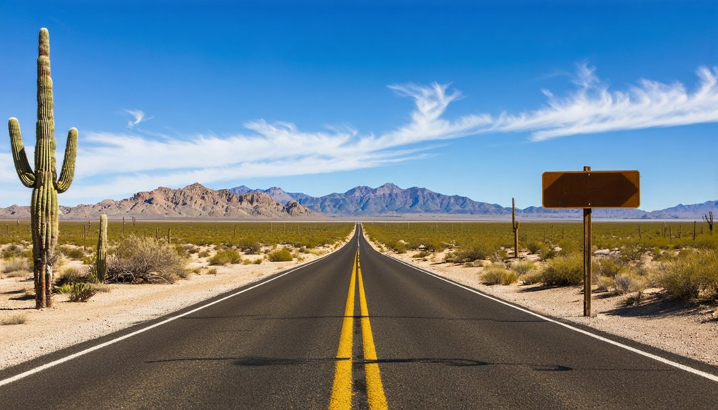
You’ll begin your journey in Tucson, heading south approximately 60 miles to the small town of Patagonia, your last reliable stop for gas and food before the landscape swallows all traces of modern convenience.
Stock up before you leave Patagonia, because no services exist along the remaining route into the valley.
From there, turn left on Taylor Road in front of the high school, then take another left onto Harshaw Road, which carries you deeper into the storied ranchlands that have shaped this corner of Arizona since the 1600s.
Starting Point: Tucson
Tucson serves as your launching point for the roughly 60-mile drive south to Patagonia. Your last chance to fuel up and grab food before the route strips away every modern convenience. Once you leave, you’re on your own — no gas stations, no restaurants, no restrooms exist along the remaining stretch into the valley.
Before departing Tucson, handle every logistical need:
- Fill your tank completely — no exceptions
- Pack food and water for the full day
- Bring cash for any roadside stops near historical artifacts
- Download offline maps since cell service disappears quickly
- Research wildlife preservation zones ahead to understand access restrictions
The landscape ahead rewards preparation. Freedom out here means self-sufficiency, not spontaneity without consequence.
Route Through Patagonia
Once you’ve gassed up and grabbed food in Patagonia — roughly 60 miles south of Tucson — the real navigation begins. Turn left on Taylor Road in front of the high school, travel one block, then turn left onto Harshaw Road.
Your first stop reveals historical artifacts worth examining: an old cemetery and crumbling adobe structure sitting on private yet accessible land near town.
From there, Harshaw Road winds you deeper into protected grasslands where wildlife preservation efforts have restricted public entry into San Rafael itself. The Nature Conservancy guards these pristine endangered species habitats fiercely.
You’ll reach the valley via Forest Service Road 61, where the cinematic landscape — famously featured in the 1955 film *Oklahoma!* — unfolds before you without ever requiring you to cross a gate.
What’s Worth Stopping for on the Harshaw Road Route?
As you head down Harshaw Road, your first stop worth making is the old Harshaw cemetery and a weathered adobe building sitting on private property just outside Patagonia. These remnants of historical architecture whisper local legends of ranchers and settlers who shaped this rugged landscape.
Here’s what makes this route worth your time:
- Walk among weathered grave markers carrying names tied to Arizona’s frontier history
- Photograph the crumbling adobe’s textured walls before time erases them completely
- Spot wildlife thriving in pristine San Rafael Valley grasslands
- Pull over at Forest Service areas along the route for hiking or a quiet picnic
- Catch cinematic valley vistas from Forest Service Road 61, unchanged since filming Oklahoma! in 1955
From here, Lochiel sits roughly forty-five minutes ahead.
Is It Safe to Drive the San Rafael Valley Border Route?
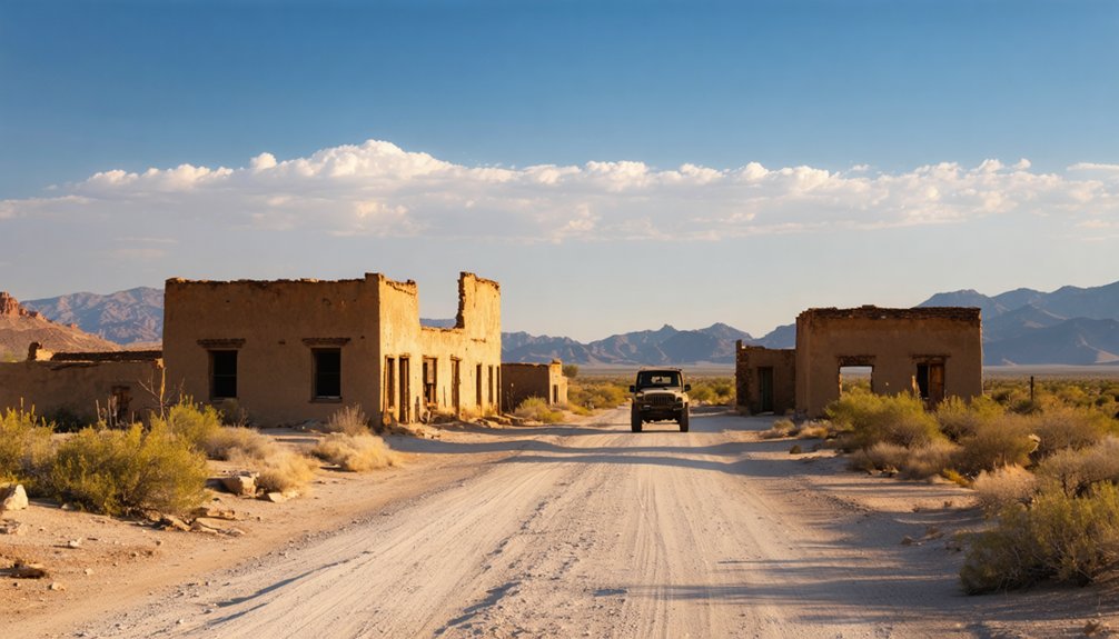
Before you load the car and head down Harshaw Road, you’ll want to understand what you’re driving into. This border corridor carries real risks alongside its wildlife habitats and cultural significance. Smuggling routes for migrants and drugs shifted into this region during the 1990s, and illegal activity remains common near Patagonia and Lochiel.
Never leave your vehicle running or unsecured, even briefly. The 2017 border fence reshaped movement patterns across the area, but it didn’t eliminate them. Residents once crossed freely between the US and Mexico until 9/11 permanently changed that reality.
Drive alert, stay aware of your surroundings, and treat this landscape with the same respect you’d give any remote terrain. Freedom here means traveling smart, not reckless.
Which Nearby Ghost Towns Belong on Your Itinerary?
While San Rafael itself remains off-limits, the surrounding corridor rewards curious travelers with genuine ghost town stops worth building your day around. You’ll find historical landmarks and local wildlife woven throughout this route, making every mile count.
- Harshaw Cemetery: A quiet, weathered stop near Patagonia on private yet accessible land.
- Adobe ruins near Harshaw: Crumbling walls that whisper of frontier-era settlement.
- Lochiel: A living border ghost town with barely ten residents and a raw, untamed atmosphere.
- Forest Service picnic areas: Natural rest stops where local wildlife frequently appears along the roadside.
- Forest Service Road 61 overlook: Your only legal glimpse into the cinematic San Rafael Valley grasslands.
Each stop adds layered historical depth to your journey without retracing a single mile.
Frequently Asked Questions
What Film Was Actually Shot in the San Rafael Valley?
You’ll love knowing that the 1955 classic *Oklahoma!* used the San Rafael Valley as its filming location, giving you a vivid piece of movie history every time you glimpse those breathtaking, freedom-evoking grasslands from Road 61.
Who Owns and Manages the San Rafael Ranch Property Today?
Like a torch passed between generations, The Nature Conservancy now owns and manages the ranch. They took over historical ownership in 1999, continuing ranch management after the Sharp family’s decades of devoted stewardship since 1903.
Are There Restrooms or Gas Stations Along the San Rafael Route?
You won’t find restroom availability or gas station locations along this untamed route — it’s gloriously self-reliant territory. Fill up in Sonoita before heading out, embracing the freedom of Arizona’s raw, unhurried frontier landscape.
When Did the Sharp Family Stop Owning the San Rafael Ranch?
Like sands through an hourglass, the Sharp family’s historical land ownership finally slipped away in 1999. Their family estate history spanned nearly a century — you’d be amazed they stewarded this remarkable ranch since 1903.
What Were the Geographic Coordinates of San Rafael Ghost Town?
You’ll find San Rafael’s geographic coordinates at 31°44′14″N 112°1′27″W, where historical preservation meets thriving local wildlife. These coordinates mark pristine, freedom-evoking grasslands that’ve sheltered endangered species and centuries of untamed American frontier heritage worth exploring.
References
- https://jauntingjen.com/2022/05/10/ghost-towns-on-the-arizona-border-lochiel/
- https://en.wikipedia.org/wiki/San_Rafael
- https://www.arizonahighways.com/article/arizona-ghost-towns
- https://kids.kiddle.co/San_Rafael
- https://www.visittucson.org/blog/post/8-ghost-towns-of-southern-arizona/
- https://ontheroadwithmariastephen.net/tag/ghost-town/