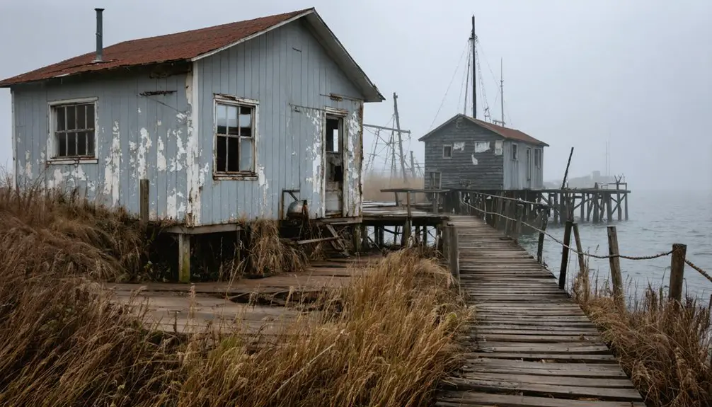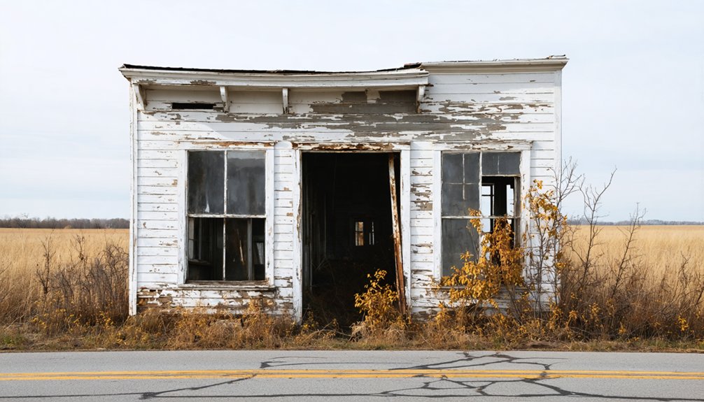
If you’re planning a ghost town road trip, Sinipee, Wisconsin is unlike anything you’ve seen before. Founded in 1835 along the Mississippi River, this once-thriving lead trade port collapsed within just a few years due to catastrophic flooding and malaria outbreaks. By 1934, a dam submerged what little remained. Today, most of the original village sits underwater, earning it the haunting nickname “Atlantis on the Mississippi.” Stick around to uncover everything you need to know before you go.
Key Takeaways
- Sinipee, Wisconsin, is accessible via the Great River Road in Grant County, with Cassville being the nearest town for supplies.
- The site is largely submerged beneath the Mississippi River following the 1934 construction of Lock and Dam No. 11.
- Visit the bluff cemetery, containing 60–70 mostly unmarked graves, for atmospheric views of the river and submerged town.
- Nearby stops include Galena, IL, Wyalusing State Park, Potosi’s restored brewery, and the Dickeyville Grotto folk-art landmark.
- Pack waterproof boots, bug spray, binoculars, and offline maps, as roads are rural and signage is minimal.
What Is Sinipee, Wisconsin’s Ghost Town?
Tucked along the Mississippi River in Grant County, Wisconsin, Sinnipee is one of the Midwest’s most forgotten ghost towns — a once-ambitious river port that flood, disease, and time have nearly erased from the landscape entirely.
Founded by the Sinnipee Company in 1835, the settlement grew around historical trade and river navigation, positioning itself as a key shipping point for the region’s booming lead industry. For a brief window, it thrived.
Then the Mississippi flooded in 1839, malaria swept through, and residents fled. By 1840, only two families remained.
Today, much of the original village sits underwater following the construction of Lock and Dam No. 11 in 1934. What’s left invites you to explore a landscape where ambition quietly surrendered to nature.
How Did Sinipee Rise and Fall So Fast?
Few American ghost towns rose and fell as swiftly as Sinnipee. Founded in 1835, it promised big things — a thriving hub of historical trade, river transportation, and even a proposed transcontinental railroad crossing. Its Mississippi River location made it a natural port for the booming lead trade, and early settlers dreamed of building something lasting, including a grand stone hotel carved into the bluffs.
Then the river turned against them. Around 1839, devastating floods left behind stagnant pools that bred mosquitoes and triggered a brutal malaria outbreak.
Death and fear emptied the town almost overnight. By 1840, only two families remained. What ambition built in a few short years, disease and floodwater erased just as quickly. Sinnipee never recovered.
How Do You Get to Sinipee on a Road Trip?
Getting to Sinnipee takes a little intention, but that’s part of the appeal. This ghost town sits in Grant County, Wisconsin, where historical trade and river transportation once defined the landscape. Follow the Great River Road corridor southwest until the Mississippi comes into view.
Here’s what to know before you go:
- Nearest town: Cassville, Wisconsin, gives you fuel and food
- Coordinates: Plug in 42°34′31″N, 90°39′25″W for precision
- Road condition: Expect rural, narrow routes with little signage
- Parking: Pull off near the bluff access point for the cemetery
- Best season: Late spring through fall for accessible, dry roads
You’re heading somewhere genuinely isolated, so download offline maps, pack water, and embrace the quiet before you arrive.
What Does the Sinipee Site Actually Look Like Today?
When you arrive at the Sinipee site, you’ll find that most of the original village now lies beneath the Mississippi’s surface, permanently flooded after Lock and Dam No. 11 was built in 1934.
Your best reward comes from climbing the bluff to the small cemetery, where roughly 60 to 70 graves survive, most of them unmarked.
Don’t expect visible ruins at the village level — one source flatly notes that nothing identifiable remains down below.
Mostly Underwater Now
What’s left of Sinnipee today sits mostly beneath the Mississippi River, swallowed after the construction of Lock and Dam No. 11 in 1934 raised water levels and permanently inundated the old village site. A place once built around historical trade and river transportation now rests silently underwater. When you visit, expect very little above the surface:
- The original village footprint lies submerged beneath the Mississippi
- Stagnant backwaters now cover streets that once carried commerce
- The Fenley Recreation Area manages the surrounding public land
- No standing structures remain visible at the village level
- One possible rock foundation from the old hotel remains unconfirmed
People call it “Atlantis on the Mississippi” for good reason. You’re fundamentally standing above a ghost town you’ll never fully see.
The Bluff Cemetery Remains
Above the submerged village, a small cemetery clings to the bluff—and it’s the only part of Sinnipee you’ll actually be able to stand in and feel.
Around 60 to 70 people are buried here, most in unmarked graves. These were settlers who chased something real: historic trade, river access, and the freedom to build a life at the edge of the frontier.
You won’t find headstones lining tidy rows. You’ll find a quiet, overgrown patch of high ground where ambition and tragedy settled together.
Standing there, you can look out toward the Mississippi and understand exactly why this spot once mattered. The river made Sinnipee possible, and the river helped erase it.
The cemetery is what’s left of the people caught in between.
Few Visible Ruins Survive
Beyond the cemetery, the rest of Sinnipee has largely vanished. Lock and Dam No. 11 finished what flooding and malaria started, submerging much of the old village beneath the Mississippi in 1934. That history of historical trade and river transportation now sits quietly underwater.
Here’s what you’ll actually find on the ground today:
- No standing structures from the original settlement
- A possible rock foundation from the grand hotel, though unconfirmed
- Rural farmland and residential property covering former town lots
- A bow and arrow club operating on nearby land
- Public DNR-managed access through the Fenley Recreation Area
Don’t visit expecting dramatic ruins. Visit expecting solitude, river views, and the quiet satisfaction of standing where an ambitious community once dared to build something lasting.
What Can You See at the Sinipee Cemetery on the Bluff?
Perched on the bluff overlooking the drowned remnants of Sinnipee, the cemetery is the clearest proof that a real community once thrived here. Historical trade brought ambitious settlers to this riverbank, and river flooding drove them away, but the dead stayed behind.
The dead stayed behind when the floods took everything else.
You’ll find roughly 60 to 70 graves scattered across the bluff, though only a handful carry readable markers. Most are unmarked, swallowed by time and overgrowth.
Walking through, you’re stepping over generations of people who believed Sinnipee had a future. It didn’t.
The cemetery offers a quiet, sobering vantage point above the Mississippi, where you can look down and imagine the village that’s now underwater.
Bring sturdy shoes, expect no signage, and give yourself a moment to simply stand there.
What Part of Sinipee Is Underwater: and Why?
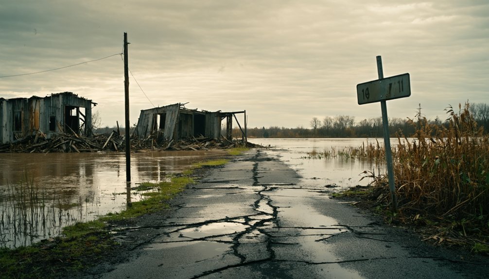
When you look out over the water near the old Sinnipee village site, you’re seeing more than the Mississippi River — you’re looking at a drowned town.
In 1934, the construction of Lock and Dam No. 11 raised the river’s water level permanently, submerging much of the original settlement.
That single engineering decision buried whatever remained of the village beneath the waterline, turning a ghost town into something even more elusive.
The 1934 Dam
Though malaria and flooding had already driven most residents away by 1840, it was the construction of Lock and Dam No. 11 in 1934 that delivered the final, permanent blow to what remained of Sinnipee.
The dam reshaped the Mississippi, swallowing the ground where historical trade and river transportation once defined this ambitious little port:
- The rising water permanently submerged the original village footprint
- Streets, foundations, and commerce corridors vanished beneath the surface
- The site that once buzzed with lead shipments became a quiet riverbed
- No salvage effort preserved what the water claimed
Today, you’re looking at a man-made lake where a town once stood.
You can’t walk those grounds. They’re gone — sealed under water by federal infrastructure built nearly a century ago.
Flooding Buried The Village
Sinnipee didn’t drown all at once. The flooding impact began long before the dam arrived. Back in 1839, the Mississippi swelled and swamped the lower village, leaving behind stagnant pools that bred mosquitoes and triggered a malaria outbreak. River trade collapsed almost overnight. Families buried their dead and fled. By 1840, only two families remained.
Then came 1934. When Lock and Dam No. 11 raised the river’s permanent pool, whatever the 19th-century floods had spared went under for good. The streets, foundations, and remnants of that ambitious port community now sit beneath the Mississippi’s surface.
You’re fundamentally looking at a submerged town when you stand at the bluff’s edge. Locals have called it “Atlantis on the Mississippi,” and honestly, that fits.
What Other Ghost Towns and Stops Pair Well With Sinipee?
Since Sinnipee sits along the Great River Road in southwestern Wisconsin, you’ve already got one of the Midwest’s most scenic drives as your backbone, and it connects naturally to several other ghost towns and historic stops worth adding to your itinerary.
The region rewards explorers who value historical significance and appreciate preservation efforts keeping these stories alive.
Pair Sinnipee with these nearby stops:
- Potosi, Wisconsin – a former lead-mining hub with a restored brewery and deep river history
- Galena, Illinois – just across the river, offering preserved 1800s architecture
- Cassville, Wisconsin – home to a car ferry and riverside history
- Dickeyville Grotto – a roadside folk-art landmark worth the detour
- Wyalusing State Park – dramatic bluff views over the Mississippi confluence
What Should You Bring to Visit a Flooded Ghost Town Site?
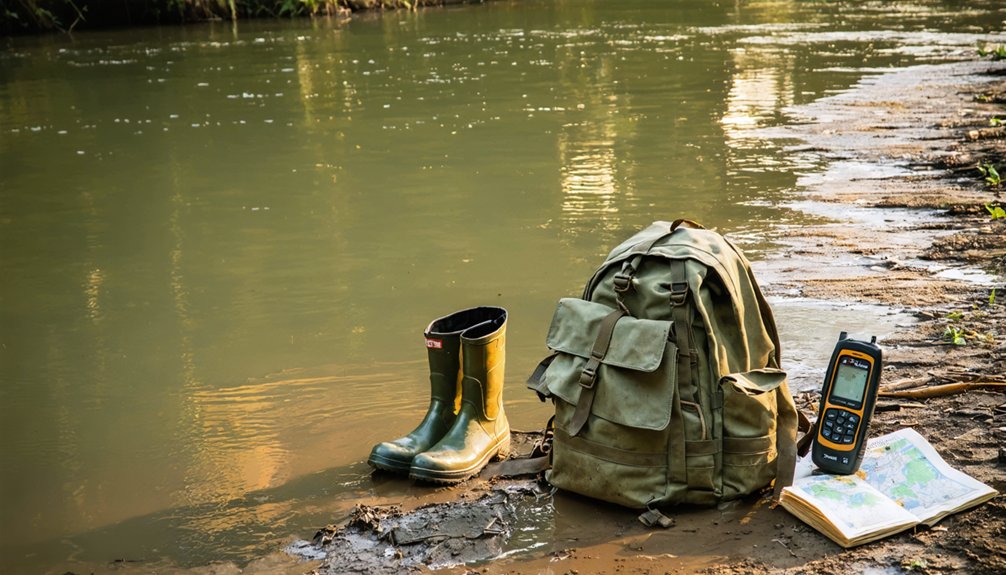
Visiting a flooded ghost town like Sinnipee means you’re preparing for a site that’s more atmospheric than architectural, so your packing list should reflect that reality. Bring sturdy waterproof boots since the ground near the Mississippi shoreline stays soft and unpredictable.
Pack binoculars for wildlife observation, because the DNR-managed land around the Fenley Recreation Area draws herons, eagles, and migratory birds worth your attention.
Carry a printed historical map if you can find one, since historical artifacts and structural remnants won’t announce themselves.
Bug spray is non-negotiable, given the area’s long mosquito history.
A camera with a zoom lens captures both the bluff cemetery and the river views effectively.
Pack light, move freely, and treat the landscape itself as the exhibit.
Frequently Asked Questions
Is the Sinipee Cemetery Open to the Public Year-Round?
With ~60–70 graves, you can visit Sinipee’s cemetery year-round! Haunted legends surround this bluff-top site, and cemetery preservation efforts keep it accessible, letting you freely explore one of Wisconsin’s most mysterious, overlooked historical treasures anytime.
Who Manages the Land Where Sinipee Once Stood?
You’ll find the Wisconsin Department of Natural Resources handles historical management and land ownership of Sinipee’s former site. They’ve preserved it as the Fenley Recreation Area, giving you the freedom to explore this hauntingly submerged ghost town.
Was Sinipee Ever Officially Incorporated as a Wisconsin Town?
Like a flame that never fully ignites, Sinnipee wasn’t ever officially incorporated. This historical settlement faded into ghost town preservation lore before you’d find it on any formal Wisconsin municipal record.
Are There Any Documented Artifacts Recovered From the Submerged Site?
You won’t find documented artifacts recovered through underwater archaeology at Sinipee’s submerged site. Artifact preservation efforts aren’t recorded here, leaving history buried beneath the Mississippi’s waters, sparking your imagination about treasures still waiting silently below.
Did the Malaria Outbreak Affect Surrounding Grant County Settlements Too?
Like a shadow spreading across the land, the malaria outbreak’s reach beyond Sinnipee into Grant County isn’t documented in the available records — you’ll find the accounts focus solely on Sinnipee’s devastating losses.
References
- https://en.wikipedia.org/wiki/Sinnipee
- https://www.youtube.com/watch?v=4dsy6z8bSSA
- https://www.ghosttowns.com/states/wi/sinipee.html
- https://portalwisconsin.wordpress.com/2012/02/07/the-ghosts-of-sinipee/
- https://www.youtube.com/watch?v=kG-k_9O1OTE
- https://www.facebook.com/groups/333827440359540/posts/1660603164348621/
- https://upnorthnewswi.com/local/the-fascinating-stories-behind-7-wisconsin-ghost-towns/
- https://en.wikipedia.org/wiki/List_of_ghost_towns_in_Wisconsin
- https://www.youtube.com/watch?v=WEtw9TN-AeQ
- https://slackstosweatspodcast.com/blog-post123