Your ghost town road trip to St. Albans, Vermont starts at Bellevue Hill—where a Cold War radar dome still watches the sky. This last surviving structure once tracked Soviet bombers crossing Arctic routes, and it’s Vermont’s most striking military relic. Launch your loop from St. Albans City, just 2.5 miles away, before chasing abandoned settlements across Franklin County’s backroads. Stick around to uncover everything this remarkable corner of Vermont has been quietly keeping to itself.
Key Takeaways
- Start your trip in St. Albans City, 2.5 miles from Bellevue Hill, where you can fuel up and grab supplies.
- Visit the Bellevue Hill radar dome, Vermont’s most visible Cold War relic, still active for civilian aircraft tracking today.
- Vermont contains roughly 126 ghost towns linked to logging, quarrying, and agriculture, many requiring research using older maps.
- Verify land access before visiting abandoned sites, as some ghost towns are located on private property.
- The full-day Northwest Vermont loop combines Bellevue Hill, scenic backroads, and abandoned Franklin County settlements for flexible exploration.
The Cold War Radar Dome Still Standing on Bellevue Hill
About 2.5 miles southeast of St. Albans, Bellevue Hill holds one of Vermont’s most striking Cold War espionage-era relics — a lone radome still standing against the sky. You’re looking at the last of five radar domes that once crowned this hill, operated by the U.S. Air Force from 1951 to 1979.
Its original mission was detecting Soviet bombers crossing Arctic routes toward American soil. That military symbolism hits differently when you’re standing roadside, realizing this structure wasn’t decorative — it was a frontline early-warning tool.
Unlike true ghost towns, this site remains active today, primarily for civilian aircraft tracking. It blends preserved defense history with open hilltop scenery, making it a compelling anchor stop before you push deeper into Vermont’s abandoned backroads.
St. Albans City as Your Route Starting Point
Before you head out to Bellevue Hill or deeper into Vermont’s ghost-town backroads, St. Albans City gives you a solid launch pad. As Franklin County’s only city and its shire town, it’s compact enough to navigate quickly but substantial enough to cover your basics. Fill your tank, grab supplies, and explore local dining options before the rural roads ahead leave those conveniences behind.
The city’s historic architecture rewards a short walk downtown, offering a glimpse into the same 19th-century New England character that shaped the abandoned settlements you’re chasing. With a 2020 census population of just 6,877, St. Albans moves at a pace that suits independent travelers.
From here, Bellevue Hill sits only 2.5 miles southeast—an easy first stop on your northwestern Vermont history drive.
Ghost Towns Within Driving Distance of St. Albans
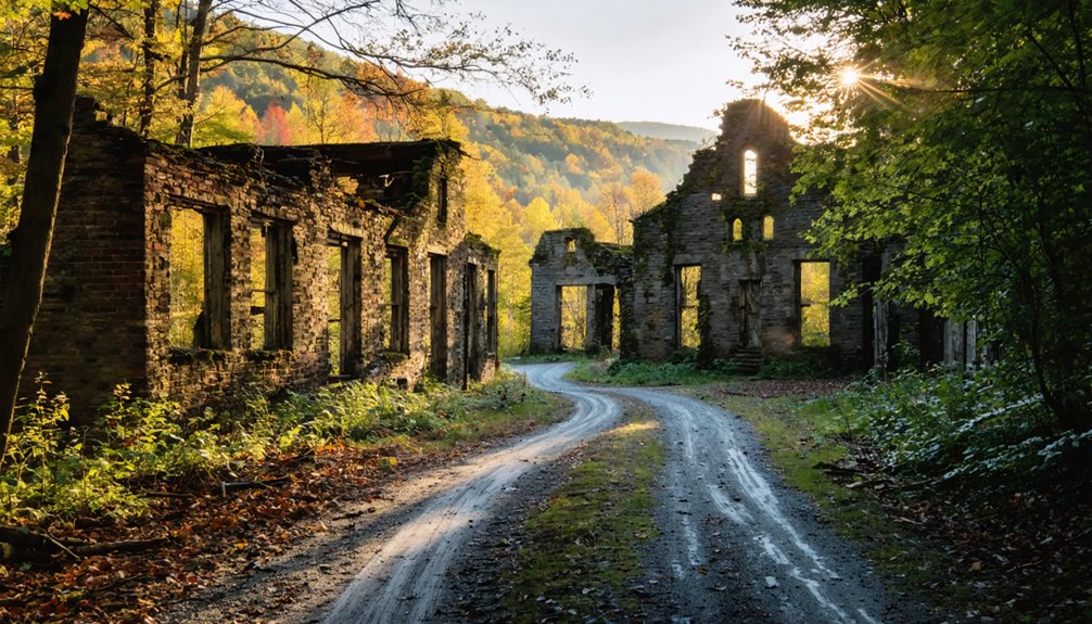
Once you’ve used St. Albans as your launchpad, Vermont’s backroads open into a broader network of abandoned sites worth chasing. The state holds 126 ghost towns scattered across just 9,623 square miles, so distances stay manageable and detours rarely cost you more than an hour.
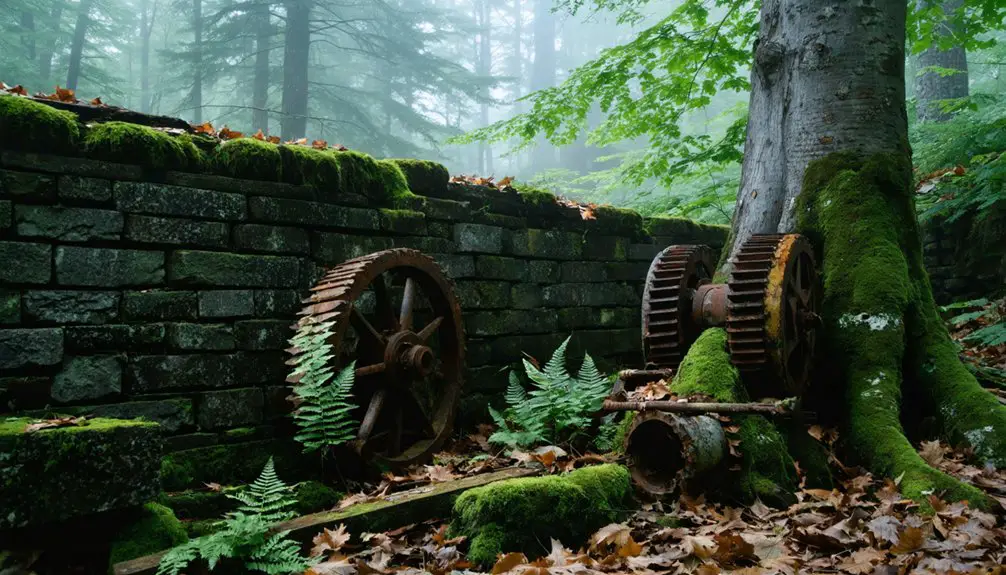
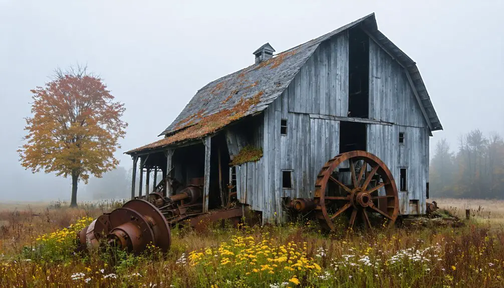
Northwest Vermont rewards explorers willing to leave the main roads behind, where you’ll find industrial ruins tied to logging, quarrying, and agricultural industries that once defined rural life here. Many of these places appear only on older maps, which makes pre-trip research essential.
Cross-reference historical records with current satellite imagery before you drive out. Some sites sit on private land, so confirm access beforehand.
St. Albans gives you fuel, food, and a clear heading before you push deeper into Franklin County’s forgotten corners.
What the Bellevue Hill Site Reveals About Vermont’s Military Past
When you pull off the road and look up at the radome on Bellevue Hill, you’re staring at Vermont’s most visible remnant of the Cold War. This site was one of many military installations built across the northern United States during a period of genuine national anxiety.
From 1951 to 1979, the U.S. Air Force operated this radar complex with one clear mission: detecting Soviet bombers crossing the Arctic toward American soil.
Four of the original five radomes are gone, leaving this single structure as the last of its kind on the hill. Cold War relics like this one rarely survive in such recognizable form.
Visiting Bellevue Hill gives you direct, unfiltered contact with a chapter of American defense history that most people only read about.
A Full-Day Northwest Vermont Ghost Town Loop
St. Albans makes a natural anchor for a full-day loop through northwestern Vermont’s forgotten corners. Start with fuel and food in the city, then head southeast to Bellevue Hill, roughly 2.5 miles out, where the surviving radome delivers one of the region’s most striking scenic viewpoints.
From there, push into Franklin County’s backroads, where Vermont’s 126 ghost towns scatter across just 9,623 square miles. You’ll find historical artifacts tied to farming communities that simply emptied out over generations.
Keep your route flexible — some sites reward spontaneous detours. By late afternoon, you’ll have covered Cold War infrastructure, abandoned settlements, and open hilltop views without logging excessive miles.
This loop isn’t passive sightseeing; it’s active exploration of a landscape that holds its history quietly but visibly.
Frequently Asked Questions
Is There an Admission Fee to Visit the Bellevue Hill Radome Site?
The knowledge doesn’t confirm an admission policy, so verify before you go. Radome preservation keeps this Cold War icon accessible — you’ll likely enjoy roadside views freely, but confirming local sources ensures you’re not caught off guard.
What Is the Best Time of Year to Drive Vermont’s Ghost Town Routes?
Fall’s golden crown makes Vermont’s ghost town routes shine brightest during seasonal foliage. You’ll love September through October, but avoid winter conditions—icy backroads turn treacherous. Spring and summer offer clear drives too!
Are Vermont’s Ghost Town Roads Accessible by Standard Passenger Vehicles?
Most abandoned towns in Vermont are reachable by standard passenger vehicles, but road conditions vary seasonally. You’ll want to research each route beforehand, as unpaved backroads can become rough or muddy after heavy rain or snowmelt.
Can Visitors Photograph the Remaining Radome From Public Roadways?
You don’t need special access — radome photography is completely yours from public roadway viewpoints. Pull over, frame that Cold War dome against Vermont’s open sky, and capture history freely standing just 2.5 miles from St. Albans.
Are There Guided Tours Available for Northwest Vermont Historical Driving Routes?
You won’t find formal guided tours, but you can craft your own historical landmarks route through northwest Vermont’s backroads, stopping at scenic viewpoints like Bellevue Hill’s radome, giving you total freedom to explore at your own pace.
References
- https://en.wikipedia.org/wiki/St._Albans_(city)
- https://de.wikipedia.org/wiki/St._Albans_(Vermont)
- https://www.sevendaysvt.com/arts-culture/what-is-that-white-dome-on-a-hill-overlooking-st-albans-5609799/
- https://en.wikipedia.org/wiki/St._Albans_(town)