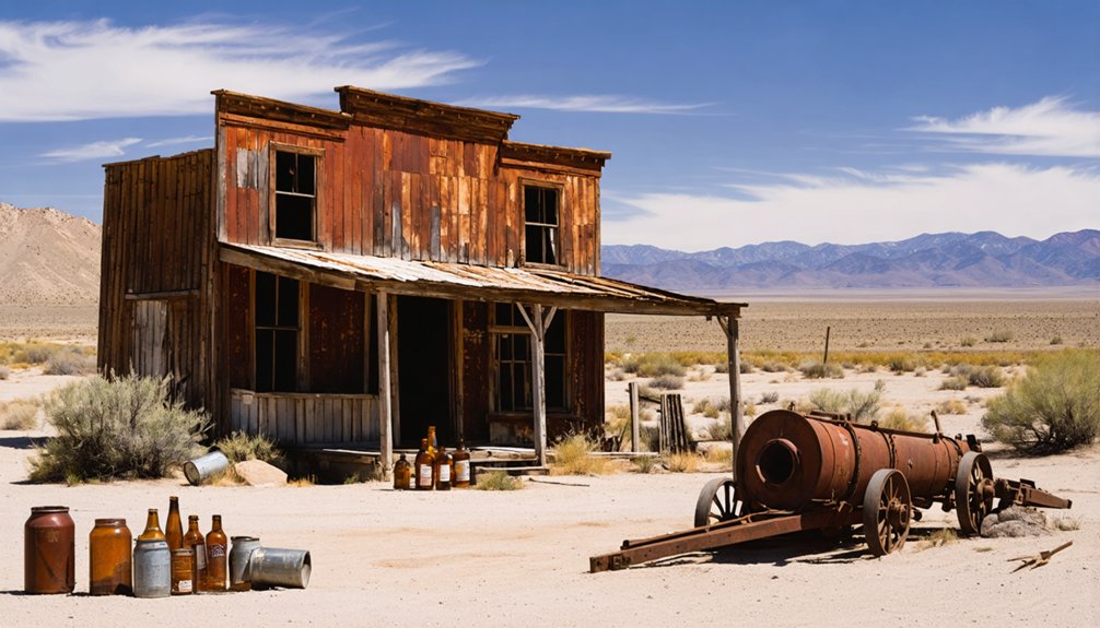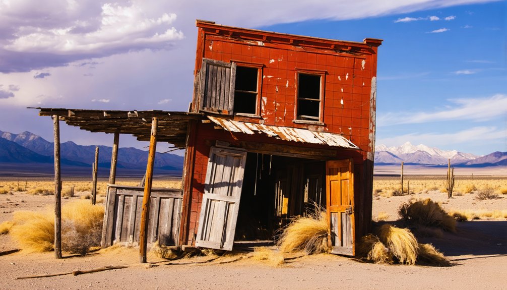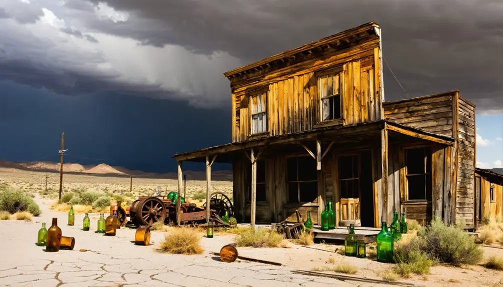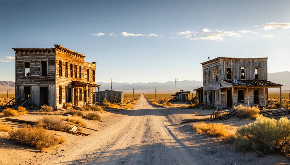
Planning a ghost town road trip to Sulphur, Nevada starts in Winnemucca, where you’ll head 58 miles west through remote desert terrain toward the Kamma Mountains. You’ll need a high-clearance vehicle, extra water, fuel, and offline maps since paved roads don’t reach the site. Spring and fall offer the best conditions. This 400-acre BLM-managed archaeological site preserves a fascinating chapter of Nevada’s industrial past — and there’s far more to uncover about what awaits you there.
Key Takeaways
- Sulphur, Nevada, is a remote ghost town 58 miles west of Winnemucca, managed by the BLM as a 400-acre archaeological site.
- High-clearance vehicles and possibly 4WD are required, as unpaved roads can become impassable after rain or winter weather.
- Visit during spring or fall for mild weather; summer heat and winter mud make travel dangerous or impossible.
- Carry extra water, fuel, offline maps, and supplies, as the site’s remoteness demands complete self-sufficiency during your trip.
- Artifacts must be left undisturbed, as removal is illegal and the site is eligible for the National Register of Historic Places.
What Is Sulphur, Nevada?
Tucked into the northwestern Nevada desert near the Kamma Mountains, Sulphur is a ghost town and former railroad station in Humboldt County that once thrived on the region’s rich sulphur deposits. Its mining history stretches back to the 1860s, when prospectors first identified the area’s mineral wealth.
By the 1870s, active quarrying and refinery operations were underway, eventually producing up to 12 tons of sulphur daily.
Railroad development arrived in 1909, when the Western Pacific Railway established a station here, transforming Sulphur into a key shipping point.
Today, you’ll find a 400-acre archaeological site managed by the Bureau of Land Management, where ruins of a small twentieth-century mining community still dot the desert landscape.
It’s a raw, honest snapshot of Nevada’s industrial past.
Where Is the Sulphur Ghost Town Located?
Knowing what Sulphur was is one thing — finding it’s another. The ghost town sits in northwest Nevada’s Humboldt County, roughly 58 miles west of Winnemucca, on the flank of the Kamma Mountains near the Black Rock Desert. It’s remote, raw, and unapologetically off the beaten path — exactly the kind of place that rewards independent travelers.
You’ll navigate desert terrain marked by tailings piles and the quiet remnants of industrial ambition. Local legends tie the area’s origins to prospectors who stumbled onto sulphur deposits in the 1860s, and historical artifacts scattered across this 400-acre archaeological site back those stories up.
The nearby Hycroft Mine remains active, adding a living layer to the region’s long mining legacy. Come prepared — this landscape doesn’t coddle visitors.
How to Reach Sulphur From Winnemucca
Your road trip to Sulphur starts in Winnemucca, a practical base with fuel, food, and lodging before you head into the remote Nevada desert.
You’ll drive roughly 58 miles west, following US-95 before turning onto unpaved roads that can turn rough or impassable after rain, so a high-clearance vehicle is strongly recommended.
Plan on about 90 minutes each way, factoring in slower speeds once you leave the pavement and enter the open desert terrain near the Kamma Mountains.
Starting Point: Winnemucca
Most travelers headed to Sulphur use Winnemucca as their base, and it’s a practical choice — the ghost town sits roughly 58 miles to the west. You’ll find everything you need here before venturing into open desert toward mining legends and railroad relics.
Stock up before you leave town:
- Fuel up — there are no gas stations once you head west into the Black Rock Desert region.
- Grab supplies — water, food, and a paper map are essential for remote desert travel.
- Check road conditions — desert routes can shift after weather events.
- Download offline maps — cell service disappears fast outside Winnemucca.
Winnemucca sits along I-80, making it easily accessible from both Reno and Salt Lake City.
Route And Road Conditions
The drive from Winnemucca to Sulphur covers roughly 58 miles west through open high desert, and you’ll feel the remoteness set in well before you arrive. Head west on Interstate 80, then navigate northwest toward the Kamma Mountains, where the pavement eventually gives way to graded dirt roads.
Conditions vary seasonally, so a high-clearance vehicle is strongly recommended, and a 4WD becomes essential after rain.
The final stretch rewards patient travelers. You’ll pass tailings piles and industrial remnants that hint at the historical artifacts buried within this landscape. Local legends about early prospectors and sulphur miners add texture to what might otherwise look like empty desert.
Check road conditions with the BLM’s Winnemucca District office before departing, and carry extra water, fuel, and a paper map.
Distance And Drive Time
Covering roughly 58 miles from Winnemucca, the drive to Sulphur takes about 90 minutes under good conditions, though that estimate stretches quickly once you leave paved roads behind. Local weather dramatically affects travel time, so always check forecasts before heading out.
Plan your route with these checkpoints in mind:
- Start in Winnemucca – fuel up completely before leaving town
- Head west on Interstate 80 – your last reliable pavement stretch
- Turn onto dirt roads toward the Kamma Mountains – reduce speed considerably here
- Arrive at the 400-acre historic site – worth every slow mile given its historical importance
Give yourself a full half-day minimum. The remoteness isn’t a drawback — it’s exactly what makes reaching this forgotten railroad and mining community feel genuinely rewarding.
Sulphur’s Mining Origins: Sulfur Deposits, Claims, and the Pacific Sulphur Company
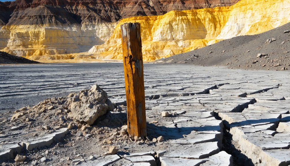
Sulphur’s story begins underground, where rich sulfur deposits drew prospectors to the Kamma Mountains as early as 1866. By 1875, McWorthy and Rover staked formal claims, setting serious extraction into motion.
Sulfur deposits lured prospectors to the Kamma Mountains in 1866, but it took until 1875 for real claims to take shape.
When the Pacific Sulphur Company acquired those claims, they built a refinery and established real mining infrastructure, pushing production to roughly six tons per day by 1880. That output climbed to around twelve tons daily by the 1920s, using both quarrying and the room-and-pillar method.
The district ultimately yielded an estimated 40,000 tons of sulfur.
Railroad history deepened the town’s identity when the Western Pacific Railway arrived in 1909, turning Sulphur into a functional shipping point. That combination of mineral wealth and rail access gave this remote desert outpost its brief but productive commercial life.
How the Western Pacific Railroad Turned Sulphur Into a Shipping Hub
When the Western Pacific Railway laid its tracks through the area in 1909, Sulphur transformed from an isolated mining site into a functional shipping hub.
You can picture crews loading processed sulphur onto freight cars bound for distant markets, the railroad finally giving the operation a reliable outlet for its output.
That single infrastructure connection changed everything, linking a remote desert deposit to the broader industrial economy of the early twentieth century.
Railroad Arrives In 1909
The arrival of the Western Pacific Railway in 1909 transformed Sulphur from an isolated desert mining camp into a functional shipping hub. Before the tracks came through, moving sulphur out of this remote corner of Nevada was a serious challenge. Railroad development changed everything, connecting Sulphur’s mining history to broader markets almost overnight.
Here’s what the railroad made possible:
- Efficient sulphur transport — bulk shipments replaced slow wagon hauls
- Station establishment — Sulphur became mile post 474.52 on the Western Pacific line
- Increased production pressure — demand grew as shipping became viable
- Community sustainability — the station supported workers and supplies moving in and out
You’re looking at a site where a single rail line fundamentally reshaped desert commerce.
Sulphur’s Shipping Operations Begin
Once the Western Pacific’s tracks reached Sulphur in 1909, the site stopped being just a mining camp and started functioning as a legitimate shipping hub. Mined sulphur could now move efficiently out of the Black Rock Desert and into broader markets, cementing the town’s mining significance beyond local operations.
Before the railroad, remote desert terrain made large-scale transport nearly impossible. The tracks changed everything.
You can appreciate this railroad history when you understand the scale involved. Sulphur was producing six to seven tons of sulphur daily during peak refinery years, and that material needed to go somewhere. The Western Pacific gave it a direct route.
The station became a receiving and shipping point that kept operations viable, transforming an isolated mineral deposit into a functioning piece of Nevada’s industrial economy.
What Can You Still See at the Sulphur Townsite Today?
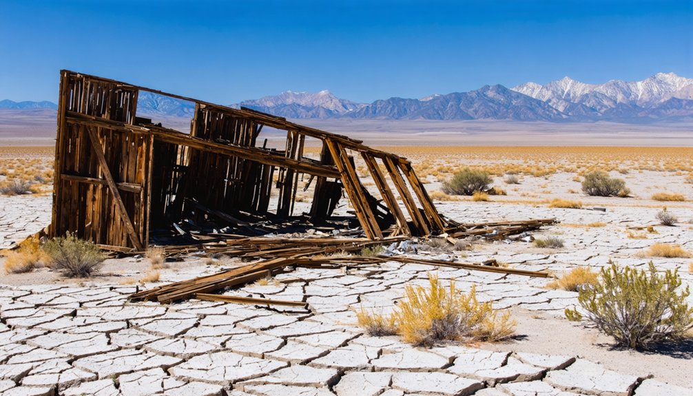
Although little remains standing at Sulphur, you’ll still find enough on the ground to piece together a vivid picture of what this desert mining community once looked like. The 400-acre historic archaeological site preserves mining remnants and historical artifacts scattered across a rugged, open landscape managed by the Bureau of Land Management.
Here’s what you can expect to explore:
- Tailings piles left behind from decades of sulphur quarrying
- Foundation ruins from the early twentieth-century mining community
- Railroad-era remnants connected to the Western Pacific station
- Cultural interpretive signage installed to help visitors understand the site’s significance
You’re free to roam this remote desert setting, but remember — you’re walking through an NRHP-eligible archaeological site, so leave everything exactly as you find it.
Who Manages Sulphur and Can Visitors Access the Site?
The Bureau of Land Management’s Black Rock Field Office, part of the Winnemucca District, oversees the Sulphur townsite and its 400 acres of historic archaeological terrain. You can visit the site, as BLM manages it as a cultural interpretive area with ongoing efforts to improve how the history is presented to visitors.
Before you head out, check in with the local BLM office for current access conditions, since the remote desert location can make the road unpredictable depending on the season.
BLM Manages the Site
If you’re wondering who oversees Sulphur and whether you can visit, the Bureau of Land Management (BLM) manages the site through its Black Rock Field Office, part of the Winnemucca District. You’re free to explore this open desert landscape on your own terms.
Here’s what BLM oversight means for your visit:
- Public access — The site remains open to independent visitors.
- Historic preservation — BLM recognizes Sulphur as NRHP-eligible, protecting its 400 acres.
- Interpretive development — Ongoing efforts improve how local legends and mining techniques are presented on-site.
- Responsible exploration — Leave ruins undisturbed and respect archaeological boundaries.
You’ll find no entry fees or permits required, making Sulphur a genuinely accessible stop for anyone chasing Nevada’s raw, unfiltered history.
Visitor Access Details
Knowing that BLM manages Sulphur sets up the practical side of your visit nicely — you’re looking at a site with no gates, no fees, and no permits standing between you and 400 acres of Nevada mining history. You can explore freely, but come prepared.
Weather conditions in the Black Rock Desert shift fast, with brutal summer heat and unpredictable winter storms making spring and fall the smartest windows for a visit. Pack water, fuel, and a spare tire, because services out here don’t exist.
Local wildlife, including desert raptors and reptiles, shares this landscape, so watch your step around ruins and rocky terrain. The Black Rock Field Office in Winnemucca can provide current road conditions before you head out.
What to Know Before You Drive Out to Sulphur

Before you load up the car and head out to Sulphur, there are a few realities worth understanding. This is remote desert terrain, and preparation separates a great adventure from a frustrating one.
Sulphur is remote desert terrain — know what you’re getting into before the adventure begins.
- No paved roads lead directly to the site — high-clearance vehicles handle the terrain far better.
- Carry extra water and fuel — the nearest services are roughly 58 miles east in Winnemucca.
- Respect local wildlife — desert animals are active, particularly at dawn and dusk, so watch your step among the ruins.
- Honor the cultural significance — Sulphur is an NRHP-eligible archaeological site managed by the BLM, meaning artifact removal is illegal.
Come informed, come prepared, and the Black Rock Desert rewards you generously.
Nearby Black Rock Desert Sites Worth Combining With Sulphur
Once you’ve planned your approach to Sulphur, it’s worth stretching the drive into a fuller Black Rock Desert itinerary, because the surrounding region holds some of Nevada’s most striking and overlooked terrain.
The Black Rock Desert itself rewards exploration with its vast playa, dramatic silence, and raw desert landscape that few visitors ever reach.
Nearby, the Kamma Mountains offer rugged backcountry scenery that frames the ghost town‘s industrial past beautifully.
You can also swing by the active Hycroft Mine area to contrast historic sulphur operations with modern mining.
Winnemucca, roughly 58 miles east, serves as a practical base with fuel and lodging.
Combining these stops turns a single ghost town visit into an immersive route through one of Nevada’s most authentically wild and historically layered corners.
When Is the Best Time to Visit Sulphur, Nevada?
Timing your visit to Sulphur matters more than it might for a typical tourist destination, because this remote corner of Humboldt County offers no shade, no services, and no shelter from extreme weather. Plan smart and you’ll explore the historical architecture remnants and geothermal activity signs comfortably.
Timing your Sulphur visit is everything—no shade, no services, no mercy from the elements await the unprepared.
- Spring (April–May): Mild temperatures make hiking ruins manageable without brutal heat.
- Fall (September–October): Cooler days return, offering ideal light for photography and exploration.
- Summer: Avoid it—desert heat exceeds 100°F, making exposed ruins dangerous.
- Winter: Snow and mud can render dirt access roads completely impassable.
Pack water, a paper map, and a full fuel tank regardless of season.
Freedom out here means self-sufficiency, so prepare accordingly before leaving Winnemucca.
Frequently Asked Questions
Is Dispersed Camping Allowed Near the Sulphur Ghost Town Site?
Since BLM manages the land, you’ll likely find dispersed camping allowed near Sulphur’s ghost town. Check camping regulations beforehand, pack your own campsite amenities, embrace the desert freedom, and roam this raw, remote Nevada wilderness on your terms.
Are There Any Guided Tours Offered at the Sulphur Townsite?
No guided tours are currently offered, but you’ll find the BLM manages the site for independent exploration. You’re free to roam, discover historical preservation efforts firsthand, and seize incredible photography opportunities among the evocative ruins.
What Wildlife Might Visitors Encounter at the Sulphur Ghost Town?
You’ll encounter desert wildlife perfect for wildlife photography and bird watching! Expect jackrabbits, lizards, and coyotes roaming freely across the rugged terrain, while hawks and ravens soar overhead, embodying the untamed spirit of Nevada’s Black Rock Desert.
Is the Road to Sulphur Accessible by Standard Passenger Vehicles?
Like a path less traveled, you’ll need a high-clearance vehicle to reach Sulphur safely. Standard cars won’t cut it, but once there, historical preservation efforts and stunning photography opportunities await your adventurous spirit.
Are Metal Detecting or Artifact Collecting Activities Permitted at Sulphur?
Since Sulphur’s a BLM-managed archaeological site with NRHP eligibility, you’ll find strict metal detecting regulations and artifact collection rules apply — you can’t remove or disturb anything, so bring your camera instead of your detector!
References
- https://wiki.blackrockdesert.org/wiki/Sulphur
- https://en.wikipedia.org/wiki/Sulphur
- https://core.tdar.org/document/474124/cleaning-up-a-stinky-ghost-town-developing-the-townsite-of-sulphur-nevada-into-a-cultural-interpretive-site
- https://kids.kiddle.co/Sulphur
- https://wiki.blackrockdesert.org/wiki/Sulphur_Mining_District
- http://www.westernghosttowns.com/sulphur.htm
- https://winnemucca.com/ghost-towns/
- https://www.gunnisontimes.com/stories/vulcan-history-of-a-gold-camp
- https://en.wikipedia.org/wiki/List_of_ghost_towns_in_Nevada
- https://highway8a.blogspot.com/2018/06/things-you-find-in-field-sulfur-at.html