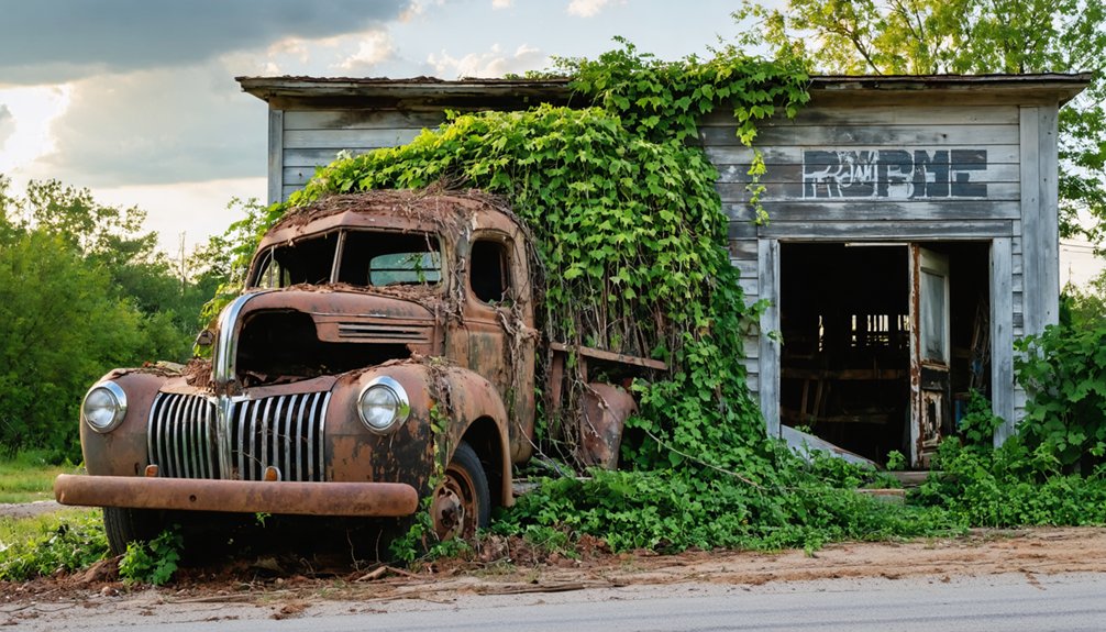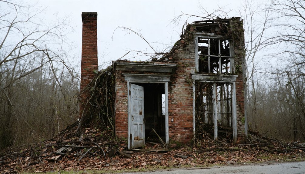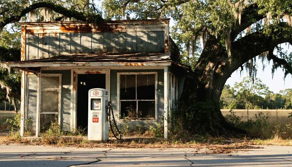
Planning a ghost town road trip to Tooktocaugee means venturing into Calhoun County, Alabama, where a former Muscogee/Creek village now sits silent and unmarked. You’ll need GPS coordinates (33°41′35″N, 85°41′55″W) since there’s no signage guiding your way. Pack water, offline maps, and a camera before heading out. Pair it with nearby stops like Ohatchee, Choccolocco, and Bynum for a full northeast Alabama ghost town route—and there’s plenty more to uncover ahead.
Key Takeaways
- Tooktocaugee is an unincorporated ghost town in Calhoun County, Alabama, formerly a Muscogee/Creek village at coordinates 33°41′35″N, 85°41′55″W.
- No signage or infrastructure exists at the site, so bring GPS or offline maps for reliable navigation.
- Visit during spring or fall, arriving mid-morning, to avoid extreme heat, rain, and poor unpaved road conditions.
- Pack water, snacks, insect repellent, a first aid kit, offline maps, and a portable charger for this remote destination.
- Combine Tooktocaugee with nearby ghost towns like Ohatchee, Eureka, and Bynum for a full regional road trip itinerary.
What Is Tooktocaugee and Why Does It Matter?
Tucked into the rural landscape of Calhoun County, Alabama, Tooktocaugee is an unincorporated community that’s long since faded from active use — earning it a firm spot on Alabama’s ghost town list. Before outside settlement reshaped the region, this site functioned as a Muscogee/Creek village, giving it deep cultural significance that extends well beyond a typical abandoned town.
That indigenous history is precisely why Tooktocaugee deserves your attention. You’re not visiting a collapsed mining camp or a forgotten railroad stop — you’re standing on ground that carries centuries of Native American presence.
Preservation challenges are real here, though. No formal infrastructure protects or interprets the site, leaving its story largely invisible to passing travelers. That makes your visit an act of independent discovery, which is honestly part of the appeal.
From Creek Village to Ghost Town: The History Behind the Name
Tooktocaugee’s identity as a ghost town only makes sense once you understand what came before the abandonment. Long before settlers redrew the map, this site in Calhoun County, Alabama, functioned as a Muscogee Creek village. That Indigenous heritage gives the name its weight and its story its depth.
The Creek people shaped this land’s earliest identity, making Tooktocaugee a place of genuine cultural significance rather than just another forgotten crossroads. Over time, shifting settlement patterns stripped away the community’s activity, leaving behind what maps now label “barren.” Nothing filled the void the Creek presence once occupied.
When you visit, you’re not just standing in an empty field — you’re standing where a civilization thrived, a fact worth carrying with you down the road.
Where Is Tooktocaugee in Alabama?
You’ll find Tooktocaugee tucked into Calhoun County in northeastern Alabama, sitting at roughly 33°41′35″N, 85°41′55″W at an elevation of about 696 feet.
Plug those coordinates directly into your GPS or offline map app, since the site won’t appear as a named landmark on most standard navigation tools.
For fuel, food, and lodging, you’ll want to plan around the nearest accessible towns in Calhoun County, as Tooktocaugee itself offers no services.
Calhoun County Location
Nestled in northeastern Alabama, Tooktocaugee sits within Calhoun County, placing it along a travel corridor that’s well-suited for a broader historic road trip. The county’s position in east-central Alabama makes it accessible from multiple directions, and you’ll find that regional roads connect naturally to other historical waypoints worth exploring.
The site’s cultural significance runs deep, rooted in its origins as a Muscogee/Creek village long before it became the ghost town it’s today. That layered history adds weight to any visit, even a brief one.
Preservation challenges are real here — there’s no formal district or maintained landmark marking the spot. You’ll rely on coordinates (33°41′35″N 85°41′55″W) and offline maps to find it, so plan your route carefully before you leave home.
Exact GPS Coordinates
Pinpointing Tooktocaugee comes down to one precise set of coordinates: 33°41′35″N 85°41′55″W. Drop these into your navigation app before you leave, because roadside signage won’t guide you here.
This site carries real Native history as a former Creek village, and reaching it responsibly means doing your homework ahead of time.
Here’s what these coordinates reveal for you:
- Freedom to explore a rural Alabama landscape tied to cultural preservation and indigenous heritage
- Offline navigation confidence when cell signals fade along county roads
- A defined waypoint that anchors your broader ghost-town itinerary without wasted driving
At roughly 696 feet elevation in northeastern Alabama, this location rewards the prepared traveler. Load your maps, respect the land, and let the coordinates do the work.
Nearest Accessible Towns
Where do you fuel up, grab a meal, or find a room near a ghost town with no commercial footprint? Anniston, Calhoun County’s largest city, sits within reasonable driving distance and covers every practical need. Oxford lies nearby as well, offering fuel stations, restaurants, and lodging chains along its main corridors.
These towns also carry their own cultural significance, giving your road trip added depth beyond the ghost-town stop itself. You won’t find that context at Tooktocaugee, where preservation challenges have left the site with almost no visible infrastructure.
Use Anniston or Oxford as your base, plan your Tooktocaugee visit as a focused waypoint, and return to town for everything else. That structure keeps your itinerary efficient without sacrificing the historical weight of the stop.
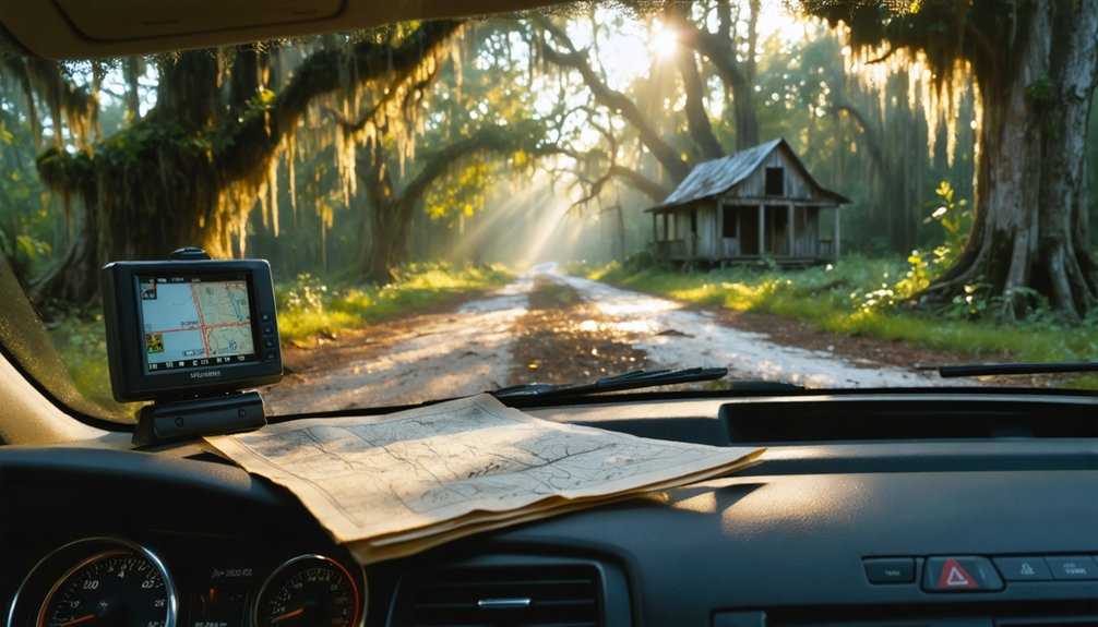
Because Tooktocaugee lacks a modern civic address or roadside signage, you’ll need to rely on its coordinates — 33°41′35″N 85°41′55″W — to navigate there accurately. This former Creek village carries deep Native history, and reaching it on your own terms reflects the spirit of independent exploration.
Before you head out, set yourself up for success:
- Download offline maps in advance, since rural northeastern Alabama can have weak cell coverage
- Enter the coordinates directly into your GPS app rather than searching by name
- Plan daylight arrival to make roadside observation and photography easier
Preservation efforts at ghost towns often depend on respectful, informed visitors. Arriving prepared honors that responsibility and keeps your road trip smooth, intentional, and genuinely rewarding.
What Will You Actually See at Tooktocaugee?
When you arrive at Tooktocaugee, don’t expect a preserved main street, interpretive signage, or a visitor kiosk — what you’ll find instead is a quiet, rural landscape that reflects the site’s current reality as a ghost town.
The terrain is largely open and undeveloped, described as barren in most references.
What makes this stop worthwhile isn’t visual spectacle — it’s archaeological significance. You’re standing on ground that once served as a Muscogee/Creek village, a detail that carries real historical weight.
Cultural preservation here exists in historical record rather than physical structure.
Bring a camera, take in the surroundings, and let the silence tell the story. This is a place for thoughtful observation, not sightseeing.
Pair it with other nearby stops to build a more complete northeastern Alabama itinerary.
The Best Time to Visit Tooktocaugee
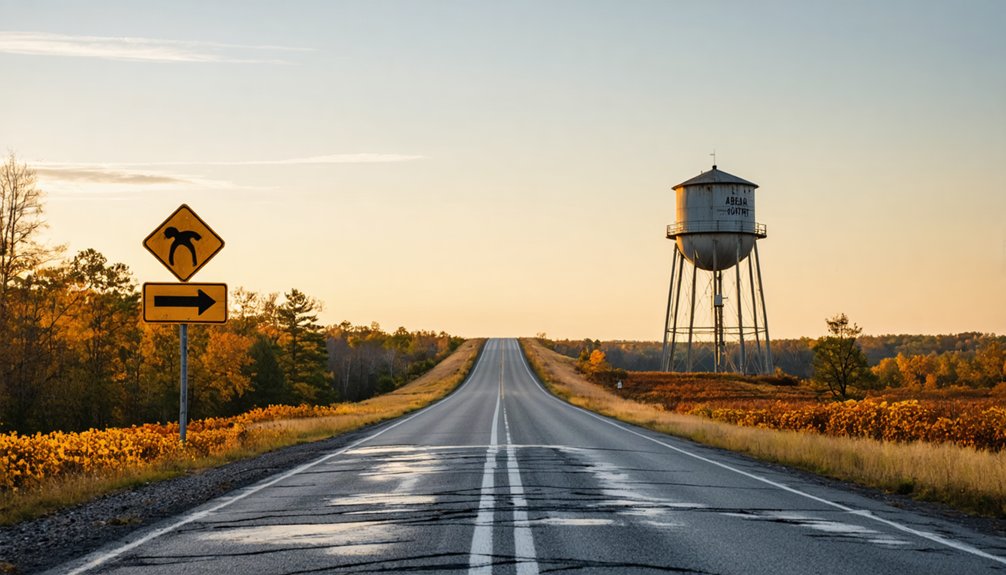
You’ll get the most out of Tooktocaugee by visiting in spring or fall, when Alabama’s moderate temperatures make rural exploration comfortable without the punishing summer heat.
Plan your arrival with enough daylight to navigate unmarked county roads and take photos before the light fades, since the site offers no lighting and no reason to linger after dark.
Winter rain and summer storms can soften unpaved roads in northeastern Alabama, so check local weather conditions before you head out.
Ideal Seasons For Visiting
Though Tooktocaugee sits in northeastern Alabama’s Calhoun County without a visitor center or shaded pavilion to retreat to, the season you choose matters more than you might expect for a rural, exposed stop like this. Seasonal weather shapes your entire experience here, and tourist crowds aren’t a concern, so you’re free to plan around comfort alone.
- Spring and fall offer mild temperatures perfect for roadside exploration and photography.
- Winter delivers crisp, clear air with minimal humidity, making navigation and open-sky observation easier.
- Summer brings intense heat and humidity that can make a simple roadside stop feel draining fast.
Pick a shoulder season, arrive during daylight, and you’ll move through this quiet historical waypoint exactly on your own terms.
Daylight Hours Matter
Choosing the right season gets you halfway there, but the time of day you arrive at Tooktocaugee can make or break the stop entirely. This rural site has no lighting, no signage, and no infrastructure guiding your way after dark.
Arrive during mid-morning or early afternoon to give yourself maximum visibility for observing the landscape and capturing photographs worth keeping.
Daylight also sharpens your awareness of the site’s archaeological significance, letting you read the terrain rather than stumble through it. You’re visiting ground tied to Creek cultural preservation, and that deserves clear eyes and full attention.
Late arrivals risk missing the subtle geographic details that tell the site’s story. Plan your drive so Tooktocaugee falls naturally within your peak daylight window, not as an afterthought at dusk.
Weather And Road Conditions
Northeastern Alabama’s weather shifts noticeably across seasons, and timing your visit to Tooktocaugee around those patterns makes a real difference on a rural road with no paved lot to park in and no shelter to duck into.
Spring and fall offer the clearest conditions for exploring this site’s Native American heritage without fighting heat or mud:
- Spring and fall deliver mild temperatures and firm rural roads, ideal for unhurried exploration.
- Summer heat pushes past 90°F regularly, making a site with zero shade uncomfortable fast.
- Winter rain turns unpaved county roads soft, potentially cutting off access to the historical significance this former Creek village carries.
Check road conditions before leaving and download offline maps. Freedom comes from preparation, not improvisation.
What to Bring for a Rural Stop Like Tooktocaugee

Since Tooktocaugee offers no visitor infrastructure, you’ll want to pack everything you need before leaving home. Bring water, snacks, and a charged phone loaded with offline maps. A camera helps you document the landscape and any remnants tied to local legends surrounding this former Creek village.
Wear comfortable walking shoes suited for uneven rural terrain.
Pack a small notebook if you’re researching preservation efforts connected to Alabama’s indigenous sites. Sunscreen and insect repellent matter during warmer months when rural stops get uncomfortable fast.
Keep a paper map as a backup since signal coverage may drop near the site.
A portable charger, first aid kit, and extra fuel all reduce risk on this type of low-infrastructure stop. Travel prepared, and you’ll move freely through Calhoun County without unnecessary delays.
Other Alabama Ghost Towns Near Calhoun County Worth Visiting
Once you’ve marked Tooktocaugee on your map, you can easily build a multi-stop route by adding other Alabama ghost towns within or near Calhoun County.
Sites like Calhoun County’s own abandoned communities share that same quiet, rural character, making them natural companions on a single day’s drive.
Researching Alabama’s broader ghost-town lists before you leave gives you the flexibility to prioritize the stops that best fit your timeline and historical interests.
Nearby Ghost Towns Worth Exploring
Alabama’s ghost town landscape extends well beyond Tooktocaugee, and Calhoun County‘s location in northeastern Alabama puts you within striking distance of several comparable historic sites worth weaving into your itinerary. Expanding your route supports cultural preservation and honors the Native history embedded across this region.
Consider adding these stops to your road trip:
- Ohatchee, Alabama – A quietly faded community with deep roots in early Alabama settlement patterns
- Alexandria, Alabama – A small historic stop offering glimpses into northeastern Alabama’s past
- Terrapin Creek area communities – Rural historical pockets tied to indigenous land use and early frontier life
Each location rewards curious, independent travelers who prefer authentic discovery over staged attractions. Plan your route using coordinates and offline maps to move freely between sites.
Planning Multi-Stop Historic Routes
Building a multi-stop route around Calhoun County lets you stretch a single day trip into a richer, regionally connected experience. Alabama’s northeastern corridor holds several abandoned settlements and former Native American sites, each carrying its own layer of cultural preservation and archaeological significance.
You can chain Tooktocaugee with other listed Alabama ghost towns, moving between coordinates rather than relying on signage. Plan fuel and meal stops in active towns between sites, keeping your schedule flexible enough to linger where the history feels strongest.
Carry offline maps, note each site’s county road access, and prioritize daylight hours for rural stops. This approach transforms a single curiosity into a structured historical journey, giving you a fuller picture of how indigenous settlements, frontier communities, and forgotten towns shaped this corner of Alabama.
Notable Abandoned Alabama Sites
Calhoun County sits within reach of several other forgotten Alabama communities worth adding to your route. Northeastern Alabama holds pockets of history where urban myths color local legend and preservation efforts remain minimal.
These stops reward curious travelers who value raw, unpolished history over staged attractions.
- Eureka – A former antebellum community with scattered historical traces and strong regional folklore surrounding its decline.
- Choccolocco – A nearby valley settlement tied to early Creek territory, offering quiet rural scenery and layered indigenous history.
- Bynum – A small abandoned mill community where preservation efforts have stalled, leaving remnants that tell a quiet industrial story.
Each site pairs well with Tooktocaugee, building a themed itinerary that moves through Alabama’s forgotten corners on your own terms.
Where to Eat, Fuel Up, and Sleep Near Tooktocaugee
Since Tooktocaugee itself offers no amenities, you’ll want to plan your food, fuel, and lodging stops around the nearest active towns in Calhoun County. Anniston and Oxford sit within reasonable driving distance and offer solid options for both budget and mid-range travelers.
Fill your tank before heading into rural territory, since roadside stations thin out quickly once you leave the main corridors.
Oxford carries the strongest concentration of dining chains and independent restaurants, giving you real flexibility.
Anniston adds character with local legends tied to the region’s layered history, and some preservation efforts there connect meaningfully to broader Alabama heritage tourism.
For lodging, both towns offer reliable motel and hotel chains.
Book ahead during warmer months when road-trip traffic picks up across northeastern Alabama.
How to Build a Northeast Alabama Ghost Town Route Around Tooktocaugee
Tooktocaugee works best as one anchor on a longer ghost-town loop rather than a standalone destination, so you’ll want to map out a few comparable Alabama sites before you hit the road. Northeast Alabama holds several forgotten communities that share similar cultural significance and preservation challenges, making them natural companions on a themed route.
Build your loop around county roads and offline maps, and keep your schedule flexible for unplanned discoveries.
Consider anchoring your route with these stops:
- Choccolocco – another Calhoun County site with layered historical identity
- Rabbittown – a quirky named community offering roadside character
- Blue Eye – a rural Etowah County ghost town worth the detour
Each stop adds depth without demanding much time, keeping your freedom-driven itinerary lean and rewarding.
Frequently Asked Questions
Is Tooktocaugee Located on Public or Private Land?
The available data doesn’t confirm whether Tooktocaugee’s abandoned ruins sit on public or private land. Before you explore this ghost town history, you’ll want to verify land ownership through Calhoun County records to avoid trespassing issues.
Are There Any Guided Tours Available for Tooktocaugee?
You won’t find guided tours at Tooktocaugee, but don’t let that stop you! Explore its historical significance independently, embracing the freedom of self-guided discovery. Unlike traditional tourist attractions, this ghost town rewards your curiosity with quiet, authentic exploration.
Can You Legally Camp Overnight Near Tooktocaugee’s Location?
Like a wild heart seeking open skies, you’ll need to research local camping regulations and wildlife preservation rules before pitching a tent, as no confirmed overnight camping exists near Tooktocaugee’s rural, unincorporated location.
Is Tooktocaugee Accessible Year-Round Despite Rural Road Conditions?
You can reach Tooktocaugee year-round, but seasonal weather impacts rural road conditions considerably. Watch for muddy or washed-out stretches after heavy rain, as road maintenance in unincorporated areas remains minimal, so plan your visit during drier months.
Has Tooktocaugee Ever Been Considered for Historical Preservation Status?
Still up in the air, you won’t find confirmed preservation efforts for Tooktocaugee. Despite its historical significance as a former Creek village, no documented formal status protects it, making your visit a rare, unfiltered glimpse into forgotten history.
References
- https://en.wikipedia.org/wiki/Tooktocaugee
- https://kids.kiddle.co/Tooktocaugee
- https://azb.wikipedia.org/wiki/توکتوکاوقی،_آلاباما
- https://digitalalabama.com/alabama-ghost-towns/
- https://digitalalabama.com/topic/tooktocaugee-alabama/
- https://en.wikipedia.org/wiki/List_of_ghost_towns_in_Alabama
- https://en.wikipedia.org/wiki/Category:Alabama_placenames_of_Native_American_origin
- https://archive.org/stream/histcoosacobrew/histcoosacobrew_djvu.txt
- https://en.wikipedia.org/wiki/Tukabatchee
- https://en.wikipedia.org/wiki/Category:Ghost_towns_in_Alabama