Planning a ghost town road trip to Turret, Colorado means heading roughly 12 miles northwest of Salida into the Arkansas Hills, where a crumbling gold camp frozen since 1897 still stands. You’ll need a 4WD vehicle, a late spring through early fall visit, and a sharp eye for private property boundaries. Wildlife, mountain views, and weathered relics reward the journey before you even arrive at the townsite—and there’s far more to this story than you’d expect.
Key Takeaways
- Turret is located 12 miles northwest of Salida, accessible via CR 175, CR 185, and FS 184, requiring a 4WD vehicle.
- Visit between late spring and early fall to avoid impassable winter roads and ensure the best scenic views.
- About a dozen weathered structures remain visible from public roads, but streets are private property with restricted access.
- Wildlife, Collegiate Peaks views, and rugged terrain make the drive itself a rewarding part of the road trip experience.
- Nearby Salida offers Victorian architecture, mining history museums, and whitewater activities, perfect for extending your ghost town adventure.
The Gold Rush Ruins That Make Turret Worth Finding
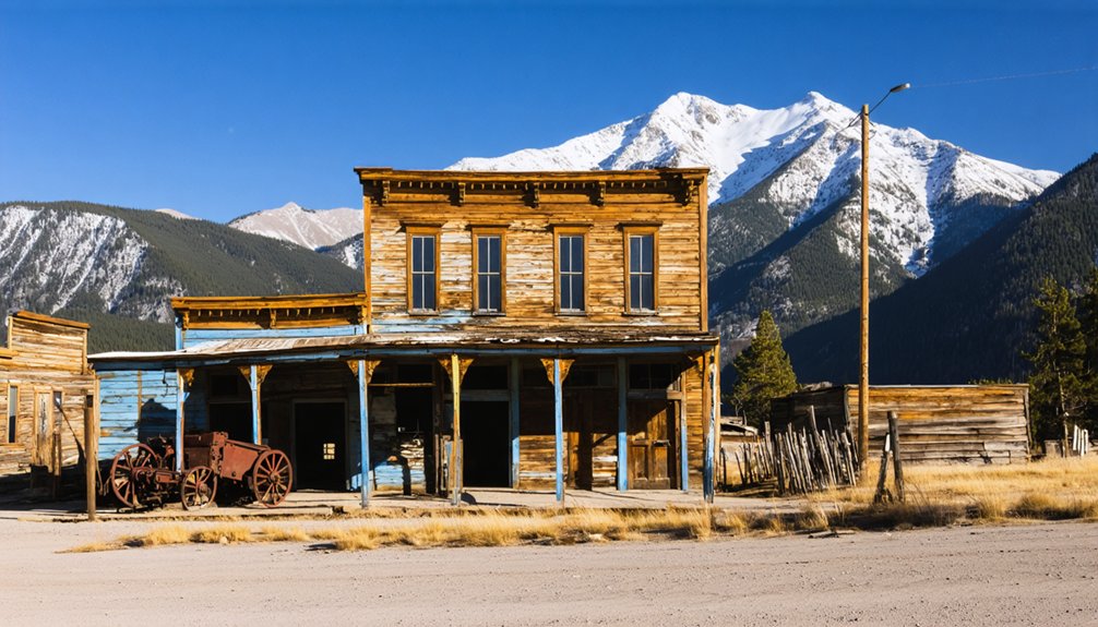
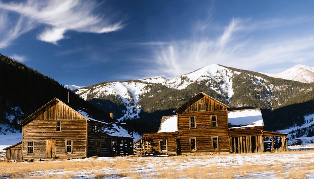
Although nature and neglect have had more than a century to reclaim it, Turret still holds its ground in the Arkansas Hills. You’ll find roughly a dozen structures still standing, weathered relics from a gold camp that once housed up to 600 souls after its 1897 discovery.
The geological formations surrounding the townsite frame these ruins dramatically, reminding you that miners didn’t choose this rugged terrain by accident—gold brought them here.
Today, local wildlife moves freely through abandoned lots where families once built entire lives.
You can spot original structures clearly from public roads, which matters since most land is privately owned.
Solar panels now stand beside old outhouses, creating a striking contrast between frontier survival and modern off-grid independence that feels entirely fitting for this forgotten corner of Colorado.
The History Behind Turret, Colorado’s Forgotten Gold Camp
Those ruins you’re scanning from the roadside didn’t appear overnight—they’re what’s left of a community that erupted into existence in 1897 when prospectors struck gold in the Arkansas Hills.
Those ruins didn’t appear overnight—they erupted into existence in 1897 when prospectors struck gold in the Arkansas Hills.
At its peak, Turret packed between 400 and 600 residents into this remote mountain pocket, all chasing the same volatile dream.
The mining relics scattered across the site tell a story of fast ambition and faster collapse.
By 1941, the post office shuttered for good, and Turret quietly faded from the map.
Local legends add flavor to the ruins—one former resident, Pete G. Schlosser, reportedly claimed he was the first person to prove tomatoes weren’t poisonous.
It’s exactly the kind of offbeat detail that makes ghost town exploration feel less like history and more like discovery.
What You’ll Still See at the Turret Townsite Today
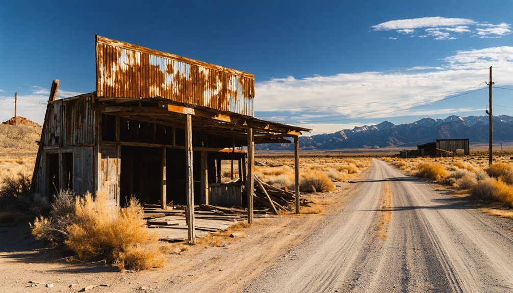
Stepping into Turret today, you’ll find roughly a dozen structures still standing—weathered relics holding their ground against the Arkansas Hills sky. These historical artifacts carry whispers of the 400 to 600 souls who once chased gold through these hills. You’ll spot original mining-era buildings visible from public roads, each one a monument to local legends like Pete Schlosser, who reportedly proved tomatoes weren’t poisonous right here.
But Turret isn’t purely frozen in time. Solar panels now stand alongside old outhouses, and rustic off-grid homes are actively being built on private land. One summer home exists on the site, though it sat empty during a 1996 visit. The town’s evolving—part ghost, part living settlement—making every visit a genuinely unpredictable adventure.
How to Get to Turret From Salida
From Salida, you’ll head approximately 12 miles northwest into Chaffee County, climbing CR 175 before turning onto CR 185 and connecting with FS 184 through the Arkansas Hills.
The road is fairly well-maintained dirt, but you’ll want a good 4WD SUV to handle the elevation gain and rocky terrain comfortably.
Once you’ve made the approach, you’re tracing the same path that hundreds of gold-hungry settlers traveled back in 1897 — though today, private property signs greet you where a booming camp once stood.
Starting Point From Salida
Salida serves as your launching pad for the journey northwest to Turret, roughly 12 miles away in the Arkansas Hills of Chaffee County. This charming mountain town gives you everything you need before heading into wilder territory — fuel up, grab supplies, and charge your camera because photography opportunities multiply fast once the pavement ends.
You’ll climb steadily through dry, rocky terrain where wildlife encounters with deer or hawks aren’t uncommon along the route. The gravel grinder trail connecting Salida to Turret has earned a reputation among cyclists and road-trippers alike for its sweeping views of the Collegiate Peaks stretching across the valley.
Before you leave Salida, confirm your vehicle’s readiness — a good 4WD SUV handles the dirt approach roads far more confidently than a standard passenger car.
Road Conditions And Access
Once you leave Salida’s pavement behind, you’ll follow CR 175 as it climbs steadily into the Arkansas Hills, eventually turning onto CR 185 before connecting with FS 184 toward Turret. The road is fairly well-maintained dirt, but you’ll want a good 4WD SUV to handle the elevation gain and rocky terrain confidently.
Watch for wildlife sightings along the ridgeline — mule deer and raptors frequent these dry hillsides.
Locals carry their own local legends about prospectors who never quite left these hills, and driving through the sparse terrain, that feels believable.
Harsh winters make this route treacherous, so plan your visit between late spring and early fall.
The road rewards patience — stunning Collegiate Peaks views stretch across the valley, making every mile worth the effort.
What Kind of Vehicle Do You Actually Need?
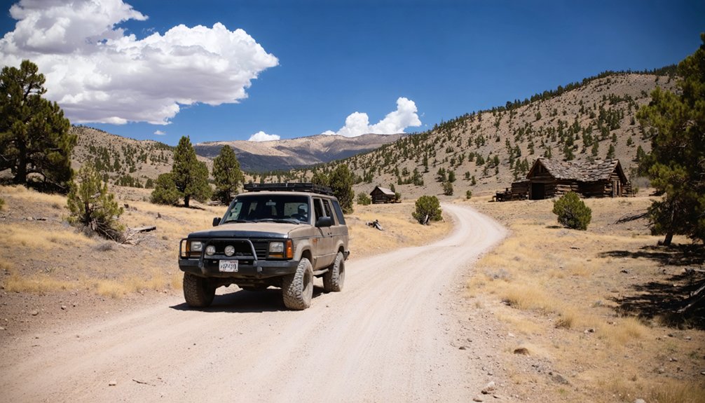
Before you commit to the drive, you’ll want to make sure your vehicle can actually handle the route up CR 175 and onto CR 185 toward FS 184. A good 4WD SUV is your best ally here, giving you the clearance and traction the dirt road demands. Passenger cars will struggle, and that struggle will cost you the experience entirely.
The terrain is dry and rocky, carved into Arkansas Hills country that hasn’t softened for anyone. Wildlife encounters are real along this corridor, so stay alert and keep your speed honest.
Slow movement also benefits your photography tips game — early light on the Collegiate Peaks across the valley rewards patience.
Come prepared mechanically, and the road rewards you with freedom most travelers never find.
Best Time of Year to Visit Turret
Getting your vehicle sorted is only half the equation — knowing when to show up matters just as much. Turret’s seasonal weather turns brutal once winter hits, likely making those dirt roads impassable and your road trip a frustrating dead end.
Your window opens late spring and stretches through early fall. That’s when you’ll find mild temperatures, drivable terrain, and the Arkansas Hills showing their best face.
Summer mornings are ideal — you’ll catch gorgeous Collegiate Peaks views across the valley before afternoon heat bakes the dry, rocky landscape.
Local wildlife becomes more active during these warmer months too, adding another layer to your ghost town experience.
Don’t push into October hoping for a dramatic autumn visit — Turret’s harsh winters don’t negotiate, and neither should you.
Private Property Rules Every Turret Visitor Must Know
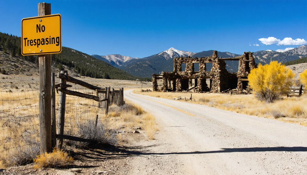
Before you set foot in Turret, know this: the streets are private property, and signs make it clear you may not be welcome to wander freely through what remains of this old gold camp.
You can still spot a dozen or so surviving structures from public roads, where solar panels now stand alongside weathered outhouses as unlikely neighbors in this off-grid revival.
Respect the boundaries, keep your camera ready, and you’ll still carry home a vivid piece of Colorado’s mining past.
Private Streets Restrict Access
Once you arrive at Turret, the adventure hits an unexpected wall: signs posted throughout the townsite declare the streets private property. Urban legends and ghost stories may draw you here, but private ownership controls your movement.
Here’s what you need to know before exploring:
- Streets within Turret carry private property designations
- Visitors aren’t formally welcomed beyond public road viewpoints
- Nearly all land surrounding the original townsite is privately owned
- Bring a video camera to document structures from legal vantage points
- Respect boundaries — trespassing risks confrontation with current residents
You can still glimpse original gold-era structures from public roads without crossing into restricted territory. Freedom-loving explorers understand that true adventure respects boundaries. Plan accordingly, keep your distance, and let the site’s haunting history speak from afar.
Solar Panels Replace Outhouses
What was once a rowdy gold camp of 400 to 600 souls has quietly evolved into something unexpected — solar panels now stand alongside crumbling outhouses, marking Turret’s strange rebirth as an off-grid private retreat.
You’ll spot rustic homes being built and renovated on private land, their owners choosing independence over the grid. Historical artifacts and scattered mining equipment still pepper the landscape, whispering stories of the 1897 gold rush that built this place.
But don’t mistake Turret for a frozen relic — it’s very much alive, just privately. Roughly a dozen structures survived into the mid-1990s, and new hands are reshaping what remains.
You’re witnessing two eras colliding: nineteenth-century grit meeting twenty-first-century self-sufficiency, all tucked into the rugged Arkansas Hills above Salida.
Collegiate Peaks Views on the Road to Turret
As you wind your way up CR 175 toward Turret, the Collegiate Peaks rise dramatically across the Arkansas Valley, offering some of the most breathtaking alpine panoramas in central Colorado. These views reward every mile of gravel beneath your tires.
Keep your eyes open for:
- 14,000-foot summits dominating the western horizon
- Wildlife encounters with mule deer and eagles along the rocky hillsides
- Local legends tied to gold rush prospectors who traveled this same route
- Dry, rugged Arkansas Hills terrain contrasting sharply against snowcapped peaks
- Natural pullouts perfect for photography and quiet reflection
This corridor connects you to something larger than a ghost town visit — it’s a window into Colorado’s raw, untamed freedom that no paved highway could ever deliver.
Day Trips and Attractions Near Turret, Colorado
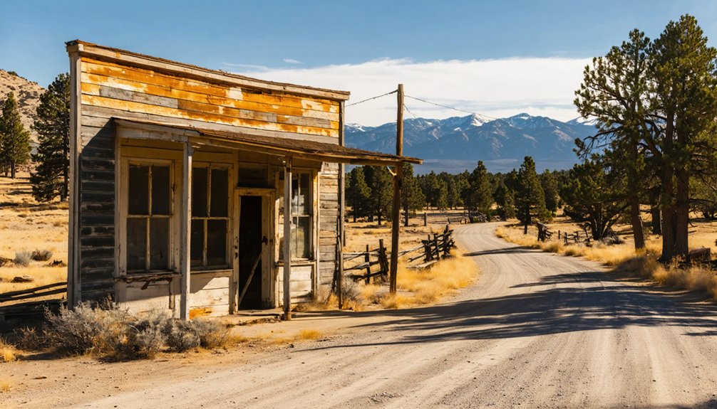
Turret’s remote setting in the Arkansas Hills doesn’t isolate you from remarkable destinations — it puts you at the center of them. Salida sits just twelve miles southeast, offering restored Victorian architecture, world-class whitewater, and local museums documenting the region’s mining technology evolution.
From there, you can chase ghost town legends across Chaffee County, where abandoned camps whisper stories of Colorado’s gold rush ambitions. The Collegiate Peaks loom dramatically across the valley, beckoning hikers and climbers toward fourteener summits.
The gravel road connecting Salida to Turret doubles as a celebrated cycling route, rewarding riders with sweeping mountain panoramas. Whether you’re hunting history, chasing summits, or simply breathing high-altitude freedom, the surrounding landscape delivers experiences that extend well beyond Turret’s weathered structures.
Frequently Asked Questions
Is There an Entrance Fee to Visit the Turret Ghost Town Site?
There’s no entrance fee, but you’ll navigate private property restrictions. Embrace your freedom responsibly—historical preservation matters here. Seize photography opportunities from public roads, capturing Turret’s haunting remnants without trespassing on privately owned streets and land.
Are Pets Allowed When Visiting the Turret Townsite Area?
No specific pet policies or animal restrictions are documented for Turret, but remember—you’re entering private land. Respect the property owners’ rules, keep your adventurous spirit leashed, and tread lightly through this historic gold camp’s storied remains.
Can You Camp Overnight Near the Turret Ghost Town Location?
The knowledge doesn’t confirm overnight camping options near Turret. Since most land’s private, you’ll want to research camping regulations carefully before your adventure. Prioritize wildlife safety and embrace the freedom of Colorado’s surrounding public lands nearby.
Is There Cell Phone Service Available Along the Route to Turret?
Cell service can’t be counted on along this rugged, remote route. Signal coverage fades fast in these forgotten hills — you’ll navigate nature’s raw, untamed freedom just as Turret’s gold-seeking pioneers did, wonderfully disconnected from the modern world.
Are Guided Tours of the Turret Ghost Town Available for Visitors?
No guided tours exist for your historical preservation journey here. You’ll embrace true guided exploration on your own terms, steering private roads and absorbing Turret’s adventurous, untamed spirit — freedom’s your compass through this forgotten gold camp.
References
- https://www.ghosttowns.com/states/co/turret.html
- https://www.youtube.com/watch?v=pyuctF0aMgw
- https://www.singletracks.com/mtb-trails/day-17-ghost-town-gravel-grinder/