Planning a road trip to Upper Squabble, Kentucky means venturing deep into Perry County‘s coal-country hills to find a settlement that time quietly swallowed. Download offline maps and use coordinates 37.28833°N, 83.54472°W, since signage is sparse and cell service unreliable. Pack water, snacks, and sturdy footwear before you go. No confirmed structures remain, so bring curiosity instead of expectations. Pair it with Blue Heron or Lynch for a fuller Appalachian ghost town experience—and there’s plenty more to uncover ahead.
Key Takeaways
- Use GPS coordinates 37.28833°N, 83.54472°W to navigate, and screenshot your route before losing cell service in rural areas.
- Download offline maps, pack water, snacks, and emergency supplies, and fill your gas tank before entering the remote region.
- No confirmed structures remain at Upper Squabble; visit with curiosity and document responsibly what you discover.
- Pair the trip with nearby Blue Heron and Lynch for a richer coal-country ghost town experience.
- Check weather forecasts beforehand and wear sturdy footwear, as terrain may require walking through overgrown or uneven ground.
Why Upper Squabble Became a Perry County Ghost Town
Although no single recorded event marks the moment Upper Squabble went quiet, its fate almost certainly followed the same arc that emptied dozens of Perry County communities before it: coal dried up, the railroad moved on, and the people followed the work.
Understanding its historical decline means accepting that settlement origins here were likely tied to resource extraction rather than permanence. Eastern Kentucky’s boom cycles built fast and collapsed faster, leaving coordinates on a map where neighborhoods once stood.
You won’t find a dramatic headline explaining Upper Squabble’s end because the story unfolded quietly, one departing family at a time. That slow unraveling is exactly what makes places like this worth seeking out — they remind you that freedom sometimes means starting over somewhere else entirely.
How To Prepare for the Drive Into Coal-Country Kentucky
Knowing why Upper Squabble faded makes the drive there feel more intentional, but getting to Perry County in one piece requires some practical groundwork first. Eastern Kentucky’s terrain is rugged, and rural roads can shift dramatically depending on local weather. Check forecasts before you leave — mountain fog, ice, and heavy rain all affect road conditions on narrow two-lane routes.
Download offline maps since cell service drops without warning in the hollows. Pack water, snacks, and a basic emergency kit because services thin out fast once you leave Hazard. Fill your tank whenever you spot a station. Wear sturdy footwear if you plan to walk the site.
A little preparation transforms what could become a frustrating detour into the kind of self-directed adventure you actually came for.
How To Reach Upper Squabble Using Published Coordinates
Once you’ve topped off your tank and downloaded offline maps, plug these coordinates into your GPS or mapping app: 37.28833°N, 83.54472°W. These published coordinates place Upper Squabble firmly within Perry County’s rugged eastern Kentucky terrain, where winding roads cut through former coal country.
Because signage is sparse or nonexistent, local landmarks become your best reference points. Watch for creek crossings, ridge lines, and rural road markers that confirm you’re tracking correctly. Screenshots of your route before you lose cell service will save you real frustration out there.
The drive itself rewards you with scenic overlooks across the Appalachian foothills, so slow down and let the landscape register. You’re not just chasing a dot on a map — you’re following a road into Kentucky’s quietly abandoned past.
What Still Stands at Upper Squabble Today
Honest expectations matter before you pull up to Upper Squabble: publicly documented records don’t confirm which structures, if any, still survive at the site. No verified inventory of abandoned structures exists in available sources, so you’re entering genuinely unknown territory. That uncertainty is part of the appeal.
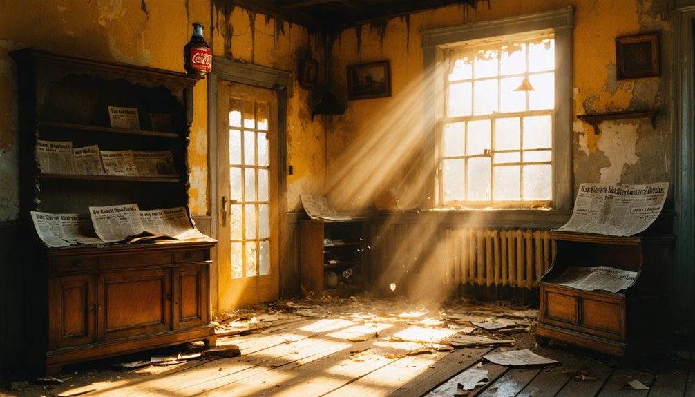
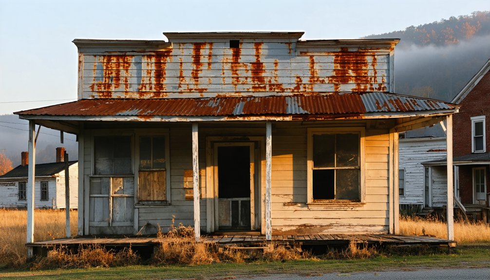
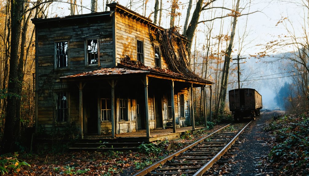
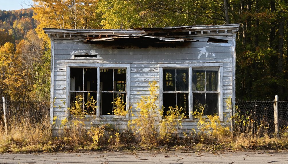
Eastern Kentucky’s rugged landscape has a way of swallowing former settlements, leaving scenic ruins half-hidden by vegetation and time. You might find crumbling foundations, you might find nothing recognizable at all. Either outcome tells a real story about how completely a community can vanish.
Bring curiosity instead of fixed expectations, document whatever you discover responsibly, and treat the landscape with respect. The freedom of this kind of stop is that you’re reading the land directly, without a curated narrative telling you what to see.
Kentucky Ghost Towns Worth Pairing With Upper Squabble
Upper Squabble works best as one piece of a longer eastern Kentucky itinerary, and pairing it with Blue Heron and Lynch gives that itinerary real depth. Each stop adds abandoned structures, local legends, and a distinct chapter of Kentucky’s coal-country story.
- Blue Heron – A preserved mining camp in McCreary County with interpretive displays and original structures still standing.
- Lynch – Once Kentucky’s largest coal town, now a living ghost town with striking architecture frozen in time.
- Harlan – Carries deep local legends tied to labor conflicts and industrial collapse.
- Gravel Switch – A quieter rural stop that rounds out the contrast between forgotten agricultural communities and mining settlements.
String these together, and you’ve built a road trip that feels genuinely free and historically honest.
Frequently Asked Questions
Is Upper Squabble Privately Owned or Open to the Public?
Like Brigadoon shrouded in mist, Upper Squabble’s private ownership or public access status remains unconfirmed. You’ll want to research local Perry County regulations before visiting, as documented details aren’t publicly available yet.
What Is the Best Time of Year to Visit Upper Squabble?
Spring and fall offer you the best seasonal weather for exploring Upper Squabble’s quiet, rugged landscape. You’ll enjoy cooler temperatures, stunning foliage, and rewarding wildlife sightings that make eastern Kentucky’s abandoned coal-country feel beautifully, hauntingly alive.
Are There Guided Tours Available for Kentucky Ghost Town Road Trips?
“The early bird catches the worm” — so research tour scheduling now! You’ll find some historical preservation groups offer guided Kentucky ghost town road trips, letting you explore forgotten communities with expert storytelling along the way.
Can I Camp Overnight Near Upper Squabble in Perry County?
You’ll find camping options near Upper Squabble, but always check local camping regulations before pitching your tent. Eastern Kentucky’s rugged terrain means you’re likely facing wildlife encounters, so prepare accordingly and embrace that wild, untamed freedom responsibly.
What Photography Tips Apply Specifically to Abandoned Kentucky Ghost Towns?
Like Dorothea Lange capturing dust-bowl silence, you’ll find urban decay speaks loudest in shadows. Shoot vintage composition by framing crumbling doorways against Kentucky’s wild overgrowth, embracing natural light, and letting abandonment tell its own unfiltered, freedom-soaked story.
References
- https://everafterinthewoods.com/abandoned-ghost-towns-in-kentucky-that-still-hold-echoes-of-the-past/
- https://en.wikipedia.org/wiki/Upper_Squabble
- https://www.youtube.com/watch?v=3kMLESEo6NE