Planning a ghost town road trip to Washoe, Montana is easier than you’d think. You’ll find this forgotten coal town right off Highway 308 in Carbon County, between Belfry and Red Lodge. No permits or off-road vehicles are needed — just slow down and look out your window. At its peak, Washoe housed 3,000 residents before coal demand collapsed and the railroad pulled out. Stick around, and you’ll uncover the full story behind its dramatic rise and sudden disappearance.
Key Takeaways
- Washoe, Montana sits along Highway 308 between Belfry and Red Lodge, requiring no off-road vehicles or special permits for roadside viewing.
- Built in 1907 by Anaconda Copper Mining Co., Washoe once housed 3,000 residents before declining due to shifting energy demands.
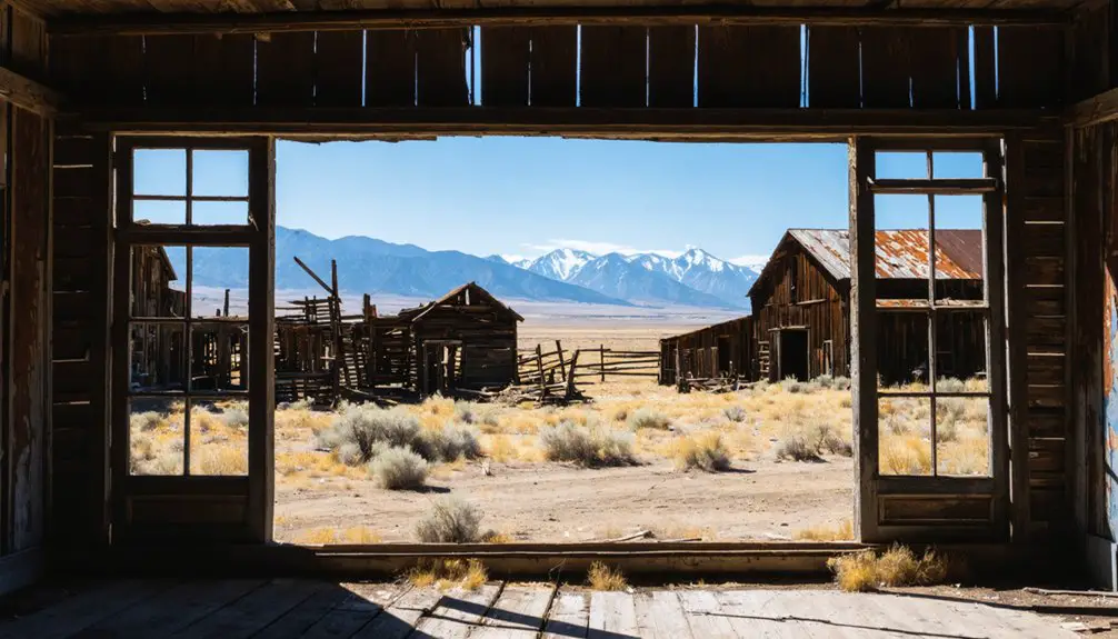
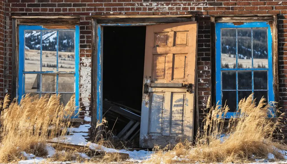
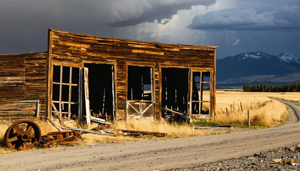
- Surviving structures include weathered walls, collapsed roofs, and industrial machinery ruins, best photographed in early morning or late afternoon light.
- Pair your visit with nearby Bearcreek, Red Lodge museums, and the Smith Mine disaster memorial for a fuller regional experience.
- Since structures sit on private land, keep visits brief, stay roadside, and photograph quickly before further weathering claims remaining ruins.
What Is Washoe, Montana’s Ghost Town?
Tucked along Highway 308 between Belfry and Red Lodge in Carbon County, Montana, Washoe is a former coal-mining company town that’s now one of the state’s most accessible ghost towns — visible right from the roadside, with original structures still standing on both sides of the highway.
Washoe sits right off Highway 308 in Carbon County — a ghost town you can explore without ever leaving the road.
The Anaconda Copper Mining Co. built it in 1907 to fuel its smelters, and at its peak, the town supported roughly 3,000 residents.
Once coal demand dropped and the railroad pulled out, Washoe emptied fast.
Today, you can drive through and take in the mining relics and weathered buildings without much effort.
Local legends tied to the region’s coal era give the site a deeper layer of history worth exploring before you arrive.
How Coal Built Washoe: and Why It Vanished
When the Anaconda Copper Mining Co. developed Washoe in 1907, coal was the engine driving everything — the town existed solely to supply fuel to Anaconda’s distant smelters, shipping up to 1,200 tons daily.
At its peak, you’d have found a thriving community of 3,000 residents built entirely around that single purpose.
But when Montana Power Co. formed in 1912 and undercut coal’s dominance, demand collapsed, the railroad pulled out, and Washoe’s reason for existing simply disappeared.
Coal Fueled Washoe’s Growth
Coal built Washoe from the ground up. When the Anaconda Copper Mining Co. and its subsidiary, the Washoe Coal Co., developed the town in 1907, they weren’t just digging a mine — they were fueling an entire industrial operation.
Coal’s significance here went beyond local use; daily shipments reportedly hit 1,200 tons, feeding Anaconda’s distant smelters and keeping the company’s ambitions alive.
You can trace Washoe’s mining legacy back even further to 1903, when Fred and Annie Bartels first purchased the land.
By 1906, Anaconda had taken over, recognizing the coal-rich potential beneath the Beartooth Mountains.
At its peak, the town supported a population of around 3,000 people — all drawn by the promise that coal would keep burning indefinitely.
Demand Collapsed, Town Vanished
Washoe’s prosperity didn’t collapse overnight, but the cracks appeared fast. When Montana Power Co. formed in 1912, industrial decline hit the region hard. Cleaner energy alternatives reduced demand for coal, triggering economic shifts that Washoe couldn’t survive.
The railroad eventually pulled out, cutting the town’s lifeline entirely. A population that once reached 3,000 dwindled to almost nobody.
The nearby Smith Mine disaster of February 27, 1943, delivered another blow — Montana’s worst coal mining tragedy, killing 74 workers and casting a dark shadow over the entire region’s coal identity. No survivors were found despite round-the-clock rescue efforts.
What you’ll find today are weathered buildings frozen in time, visible right from the roadside. Washoe didn’t fade quietly — it collapsed under the weight of forces beyond anyone’s control.
How to Get to Washoe on Highway 308
Tucked between Belfry and Red Lodge, Washoe sits right along Highway 308, making it one of Montana’s easiest ghost towns to reach. You can also approach from the Washoe turnoff on State Highway 93, giving you flexible routing options. Either way, you won’t need special permits or rugged off-road vehicles — this is pure roadside freedom.
Tourist accessibility here is genuinely straightforward. You’ll spot surviving structures on both sides of the highway without leaving your car, though stepping out for photos gives you a stronger sense of historical preservation in action. The buildings stand in various states of decay, quietly telling the story of a coal-mining era long gone.
Keep your visit brief, soak in the scenery, and you’re back on the road within minutes.
What’s Left of This Ghost Town From the Roadside Today?
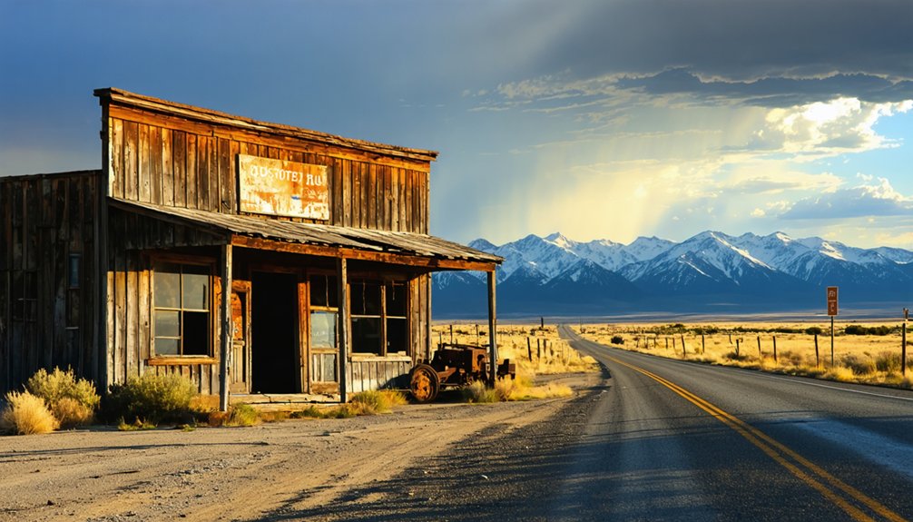
As you slow down along Highway 308, you’ll spot old abandoned buildings and ruins standing on both sides of the road in various states of decay.
Washoe sits on private land, so the roadside view is as close as you’ll get, but it’s enough to take in the haunting atmosphere of the surviving structures.
A brief stop gives you a clear sense of what remains of this once-thriving coal town without needing to leave your vehicle.
Surviving Structures Still Standing
Despite sitting on private land, the ghost town of Washoe still offers a striking roadside glimpse into its coal-mining past. As you drive along Highway 308, you’ll spot historical architecture frozen in various states of decay — weathered walls, collapsed rooflines, and timber frames that once sheltered a population of 3,000.
Structures appear on both sides of the road, giving you a layered sense of how expansive this company town once was. Abandoned machinery scattered across the grounds reinforces the industrial scale of daily operations that once pushed 1,200 tons of coal per day.
You don’t need to leave your car to absorb the atmosphere. The site rewards slow, deliberate driving and a sharp eye for details that tell Washoe’s full story.
Roadside Viewing Experience
Washoe greets you before you even think to slow down — weathered structures rise into view on both sides of Highway 308, impossible to miss against the open Montana landscape. You don’t need a trail map or a guided tour. The road does the work, delivering a raw, unfiltered window into coal-mining history without a gate or admission fee standing between you and it.
Pull off, step out, and scan the ruins at your own pace. Historical preservation here is loose — nature and time share custody — but that’s part of the draw. Local legends of a once-thriving 3,000-person town feel tangible when you’re staring at what’s left.
It’s a drive-by stop that hits harder than most developed attractions ever could.
Nearby Stops That Add Context to the Washoe Story
Pairing Washoe with a stop in nearby Bearcreek gives your road trip real historical weight, since both towns rose and fell on the same coal-driven economy.
Bearcreek carries its own local legends, and you’ll find mining artifacts that bring the region’s industrial past into sharp focus.
From there, Red Lodge is only minutes away, offering museums and historical markers that fill in the broader story of Carbon County’s coal era.
If you’re tracing the human cost of that era, the Smith Mine disaster site deserves a dedicated stop.
Montana’s worst coal mining disaster claimed 74 lives on February 27, 1943, and the memorial there hits hard.
Together, these stops transform a casual drive into a genuinely moving portrait of a region shaped and ultimately broken by coal.
What to Know Before You Drive Out to Washoe
Before you load up the car, there are a few practical realities worth knowing about Washoe. The site sits on private land, so you won’t be wandering through the buildings up close. Your visit is fundamentally a roadside stop along Highway 308, between Belfry and Red Lodge, where surviving structures stand visible from the pavement.
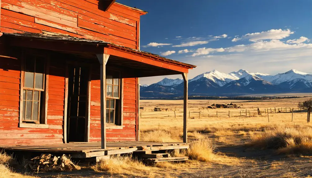
That said, don’t underestimate the photography opportunities here. The decaying buildings against the Beartooth Mountains backdrop make for striking images, especially in early morning or late afternoon light.
Historical preservation hasn’t been formalized at Washoe, meaning what stands today exists largely by chance, so photograph it while you can.
Keep your visit brief and focused. Pair it with nearby Bearcreek for fuller context, and treat the drive itself as part of the experience.
Frequently Asked Questions
Who Originally Owned the Land Before Anaconda Copper Company Purchased It?
Fred and Annie Bartels originally owned the land, purchasing it in 1903. You’re exploring historical land ownership that predates corporate dominance, though Indigenous territories once freely defined this rugged Montana landscape long before any deed existed.
How Many Tons of Coal Were Shipped From Washoe Daily?
Brace yourself — Washoe’s coal shipping statistics will stun you! In Washoe transportation history, you’d witness a staggering 1,200 tons of coal freight daily, fueling Anaconda’s mighty smelters and driving an unstoppable industrial machine across Montana’s rugged frontier.
How Many People Died in the Nearby Smith Mine Disaster?
You’ll find that 74 miners lost their lives in the haunting Smith Mine disaster on February 27, 1943. This tragic breakdown in mine safety serves as a sobering reminder of the region’s dangerous, freedom-limiting coal-mining past.
What Was the Peak Population of Washoe at Its Height?
Imagine a boomtown buzzing with 3,000 residents! At its height, Washoe’s peak population reached that impressive number. Today, it’s one of Montana’s most compelling historic preservation sites and roadside tourist attractions you’ll want to explore.
Is Washoe Ghost Town Located on Publicly or Privately Owned Land?
Washoe sits on privately owned land, so you can’t freely roam its grounds. You’ll find yourself maneuvering land ownership debates and historical preservation tensions, but you can still enjoy its haunting structures from the roadside.
References
- https://en.wikipedia.org/wiki/Washoe
- https://digging-history.com/2013/12/11/ghost-town-wednesday-washoe-montana/
- https://www.ghosttowns.com/states/mt/washoe.html
- https://urbexunderground.com/ghost-towns-in-montana/
- https://missoulacurrent.com/montana-history-garnet-mining-ghost-town/
- https://en.wikipedia.org/wiki/List_of_ghost_towns_in_Montana
- https://www.atlasobscura.com/places/the-washoe-club-haunted-museum-saloon
- https://tranquiltrekker.com/tag/washoe-ghost-town/
- https://www.washoecounty.gov/_files/pdf/WashoeCounty-history.pdf
- https://www.ghosttowns.com/states/mt/bearcreek.html