You’re chasing the ghost of a forgotten battleground where Free-State men and pro-slavery Missourians once drew blood on Kansas soil. Start in Oskaloosa and head north on U.S. Highway 59, the old military freight road that witnessed history’s hard turns. Hickory Point’s marker stands quietly in Jefferson County, a lone sentinel over a landscape that hasn’t forgotten September 1856. Pair it with nearby ghost towns, and this road trip becomes something far richer than you’d expect.
Key Takeaways
- Hickory Point, located along U.S. Highway 59 in Jefferson County, is a historically significant Civil War-era site marked by a roadside historical marker.
- Travel north from Oskaloosa on U.S. Highway 59 to reach Hickory Point, expecting a quiet countryside with only the historical marker present.
- Visit in spring, early fall, or summer for the best conditions; avoid late fall due to muddy access points.
- Bring sturdy shoes, water, a camera, and a printed map, as no modern amenities exist at the destination.
- Extend your road trip by exploring nearby ghost towns like Valley Falls, Kickapoo, and Indianola for a richer historical experience.
What Makes Hickory Point Worth the Drive?
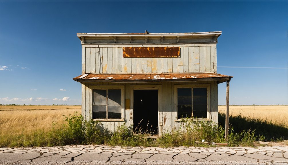
Hickory Point isn’t much to look at today — a historical marker along U.S. Highway 59 standing quietly in Jefferson County’s rolling landscape.
But that modest sign anchors something profound. You’re standing where free men fought desperately to determine whether Kansas would enter the Union free or enslaved.
Hickory Point’s history cuts straight to America’s defining struggle. In September 1856, roughly 100 Free-State men clashed with pro-slavery Missourians entrenched in log buildings here — one battle within the broader Bleeding Kansas conflict that foreshadowed the Civil War.
In September 1856, Free-State men and pro-slavery Missourians clashed here — one battle that foreshadowed the Civil War.
That ghost town mystique pulls you in because this ground carried genuine consequence. People bled here over the meaning of freedom itself.
For travelers who value liberty’s hard-won story, Hickory Point earns every mile of the drive.
Hickory Point’s Bloody Role in Bleeding Kansas
Before the first shots rang out on September 13, 1856, Hickory Point had already lived a troubled life — born just two years earlier as Charles Hardt’s modest trading ranch along a military and freight road, then platted into a proper settlement in March 1855.
Hickory Point’s conflict crystallized everything Bleeding Kansas represented. General James H. Lane rallied roughly 100 Free-State men against pro-slavery Missourians barricaded inside the town’s log structures. The fighting left one pro-slavery man dead, four wounded, and three Free-State fighters injured before both sides negotiated an uneasy surrender.
That Free State legacy still echoes here. You’re not just visiting a forgotten crossroads — you’re standing where ordinary men fought over whether freedom would define this land’s future.
How to Find Hickory Point in Jefferson County
If you’re starting your search for Hickory Point, head north out of Oskaloosa on U.S. Highway 59, the same military and freight road that once carried traders, settlers, and armed riders through this contested stretch of Kansas.
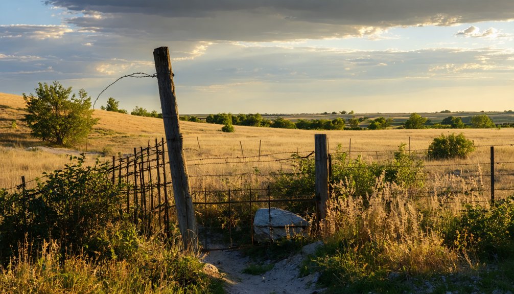
You won’t find a thriving town waiting at the end of your drive — only the quiet countryside and a historical marker standing as the site’s lone sentinel.
That marker on Highway 59 is your anchor point, a small but meaningful sign that something fierce and consequential once happened here.
Starting From Oskaloosa
Tucked in the northeast corner of Kansas, Jefferson County holds the quiet ghost of Hickory Point — and Oskaloosa is your best starting point for finding it.
Head north out of town on U.S. Highway 59, and you’ll find the historical marker that anchors this site to the landscape. It’s a simple roadside stop, but don’t let that fool you. The historical insights buried here run deep — this ground witnessed the raw violence of Bleeding Kansas before the Civil War even began.
Ghost towns like Hickory Point don’t announce themselves loudly. They wait. So slow down, read the marker, and let the silence do its work. You’re standing where free men and pro-slavery forces once drew hard lines in the dirt.
Highway 59 Historical Marker
The historical marker standing along U.S. Highway 59 is your gateway to Hickory Point’s ghost town significance. As you pull over, you’re connecting directly with highway history stretching back to 1855.
The marker documents:
- The original military and freight road that shaped Jefferson County’s early settlement
- The Battle of Hickory Point fought September 13-14, 1856
- Bleeding Kansas violence that ultimately doomed the settlement
- Charles Hardt’s trading ranch, the town’s founding cornerstone
You won’t find buildings here — just open Kansas landscape and this modest roadside sentinel.
But that marker carries weight. It anchors a vanished community’s story into the present, reminding you that freedom wasn’t freely won on this soil.
Stand there long enough, and you’ll feel the history pressing through the prairie wind.
The Historical Marker on Highway 59: What’s Left of Hickory Point
Where a bustling frontier settlement once stood along Jefferson County’s military and freight road, all that remains today is a historical marker on U.S. Highway 59.
You’ll find it north of Oskaloosa, a quiet sentinel marking ground where freedom’s future was once violently contested.
This ghost town carries extraordinary historical significance. In September 1856, Free-State and pro-slavery forces clashed here during the Bleeding Kansas conflict, shaping the nation’s trajectory toward civil war.
Three log buildings — a store, hotel, and blacksmith shop — once anchored this settlement. Now, only a roadside marker preserves their memory.
Pull over when you spot the sign. Stand there a moment. Breathe in what independence cost ordinary people who fought on this forgotten Kansas soil.
When to Visit Hickory Point and What to Bring

Spring and fall offer the clearest skies and most comfortable temperatures for walking the grounds where Free-State and pro-slavery forces once clashed in September 1856.
You’ll want to pack sturdy shoes, a water bottle, and a camera to capture the historical marker on U.S. Highway 59 before the light fades.
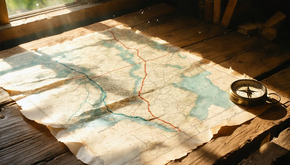
Don’t forget a printed map of Jefferson County’s ghost town route, since you’re tracing roads that once carried both settlers and soldiers through bleeding Kansas.
Best Seasons To Visit
When you visit Hickory Point, the season you choose shapes everything about the experience. Each season carries distinct weather considerations that affect your road trip comfort and historical immersion.
The best visiting seasons offer something unique:
- Spring brings wildflowers along U.S. Highway 59, softening the ghost town’s stark emptiness.
- Early fall mirrors the September 1856 battle’s atmosphere, crisp air carrying a haunting resonance.
- Summer provides long daylight hours for thorough exploration, though Kansas heat demands preparation.
- Winter strips the landscape bare, revealing the settlement’s isolation exactly as early settlers experienced it.
Avoid late fall mud season, which can make rural access points difficult.
Whatever season calls you, Hickory Point rewards those willing to stand where history’s tensions once ignited the nation’s conscience.
Essential Items To Pack
Packing five essentials transforms your Hickory Point visit from a casual drive-by into genuine historical immersion.
Bring a camera to capture the historical marker on U.S. Highway 59, preserving echoes of 1856’s fierce Bleeding Kansas standoff.
Pack a notebook for recording ghost stories and local legends that still circulate through Jefferson County communities.
Carry detailed Kansas maps, since rural northeast Kansas roads can deceive even seasoned travelers.
Bring weather-appropriate layers, because prairie conditions shift unexpectedly across seasons.
Finally, download Civil War on the Western Border’s documentation beforehand, ensuring you’ll understand what General Lane’s Free-State forces actually fought for here.
These five items connect you directly to Charles Hardt’s era, when three log buildings represented freedom’s fragile frontier against pro-slavery forces determined to silence Kansas settlers permanently.
Best Kansas Ghost Towns to Pair With This Trip
Since Hickory Point sits in the northeast corner of Kansas, you’re already well-positioned to explore several other ghost towns scattered across Jefferson County and beyond.
Hickory Point’s northeast Kansas location makes it a perfect launchpad for exploring Jefferson County’s many other forgotten settlements.
This region’s ghost town history runs deep, shaped by the same regional conflicts that defined Bleeding Kansas. Pair your visit with these nearby forgotten settlements:
- Valley Falls (formerly Grasshopper Falls) — struck by pro-slavery violence in September 1856
- Oskaloosa — the Jefferson County seat with historical echoes of territorial strife
- Kickapoo — once a pro-slavery stronghold now swallowed by time
- Indianola — another vanished Kansas settlement along old military corridors
Each stop adds another layer to understanding how freedom-seekers and their opponents shaped — and ultimately abandoned — these Kansas crossroads forever.
Other Bleeding Kansas Sites Worth Visiting in Jefferson County
Jefferson County reads like an open wound from America’s most violent dress rehearsal for Civil War. When you’ve finished standing at Hickory Point’s historical marker on Highway 59, you’re not done — the county has more to say.
Head toward Valley Falls, once called Grasshopper Falls, where pro-slavery raiders destroyed property during that same brutal September 1856. These scattered sites form a fractured map of Bleeding Kansas, each location a symbol of ordinary people fighting for fundamental freedoms.
Historical preservation efforts here aren’t merely academic exercises — they’re acts of remembrance for those who refused to surrender liberty without a fight.
Jefferson County rewards travelers willing to slow down, read the markers, and genuinely reckon with what American freedom actually cost.
Frequently Asked Questions
Was Charles Hardt Related to Other Early Jefferson County Settlers?
Like roots beneath the Kansas prairie, the records don’t confirm Charles Hardt’s family ties to other early settlers. You’ll find he’s documented as one of Hickory Point’s pioneering early settlers, standing largely alone in history.
Did Hickory Point Ever Have a School or Church Built?
The records don’t show a school or church ever graced Hickory Point’s dusty streets. Its historic significance lies in conflict, not community impact — you’d have found only a store, hotel, and blacksmith shop before freedom’s struggle silenced it.
Are There Any Artifacts From the Battle Available for Public Viewing?
While no on-site artifacts display exists at Hickory Point itself, you’ll find historical preservation efforts have captured the battle’s spirit through nearby Kansas historical societies, where touching relics from Bleeding Kansas’s freedom struggle await your discovery.
What Happened to General James H. Lane After the Hickory Point Conflict?
After Hickory Point, you’ll find Lane’s Legacy intertwined with Kansas’s freedom struggle. His Post Conflict Actions propelled him into the U.S. Senate, where he championed abolition, becoming a fierce, enduring voice for liberty’s cause.
Can Visitors Legally Metal Detect or Search for Relics at the Site?
Before you dig, you’ll want to respect metal detecting laws and relic hunting regulations — Kansas strictly protects historical sites. Honor those 1856 echoes by contacting local authorities first; freedom-loving explorers know true discovery means preserving history, not pocketing it.
References
- https://www.youtube.com/watch?v=8MTb39F-4tc
- https://www.youtube.com/playlist?list=PL4jqwLUrhjNRrbNAkj4ZX149BAdvebsFr
- https://civilwaronthewesternborder.org/map/hickory-point-kansas
- https://www.legendsofamerica.com/ks-hickorypointbattle/
- https://legendsofkansas.com/jefferson-county-extinct-towns/
- https://jeffersonjayhawkers.com/2016/10/10/north-of-the-kansas-river/


