Planning a ghost town road trip to Peale, Pennsylvania means trading pavement for dirt roads off Route 53, where stone foundations and empty lots are all that’s left of a town that once housed 2,500 souls. The Clearfield Bituminous Coal Company dismantled everything — houses, a church, a schoolhouse, the company store — and left only silence behind. Pack sturdy boots, a compass, and a camera. There’s more of Peale’s story waiting just ahead.
Key Takeaways
- Peale, PA is a ghost town accessible via Peale Road off Route 53, with free open exploration of stone foundations and remnants.
- Pack sturdy hiking boots, work gloves, a compass, offline maps, and a first aid kit for safe navigation of overgrown terrain.
- No entry fees or gates exist; park where the road ends and explore the immediately visible historical foundations freely.
- Combine Peale with nearby ghost towns Grassflat and Elk Country sites for a rewarding full-day historical road trip itinerary.
- Watch for elk herds near Benezette at dusk, as wildlife now roams the same land where miners once worked.
Why Did Peale, PA Get Abandoned?
Once a thriving coal town of 2,500 residents, Peale’s fate was sealed the moment its mines ran dry in the early 1900s. Mining depletion didn’t just end the work — it ended everything.
With no coal left to extract, the Clearfield Bituminous Coal Company made a calculated decision: dismantle the town entirely.
What followed was systematic town dismantling on a remarkable scale. Workers loaded houses, the church, the schoolhouse, and the company store onto railroad cars, hauling away what had taken years to build.
Miners packed up their families and relocated to nearby Grassflat, chasing whatever work remained.
You’ll find no dramatic collapse here — just a quiet, deliberate erasure. What remains are stone foundations, empty lots, and the haunting silence of a place that was simply taken apart and carried away.
What Should You Pack for the Peale Road Hike?
Before you set foot on Peale Road, you’ll want sturdy hiking boots, work gloves for pushing through overgrowth, and a camera to capture the stone foundations and crumbling stairwells frozen in time.
Pack a compass and a downloaded offline map, since the wooded hillsides above Red Moshannon Creek can disorient even seasoned hikers once the dirt roads fade into forest.
A first aid kit and a fully charged phone round out the essentials, keeping you safe as you trace the ghostly street grid of a town that vanished over a century ago.
Essential Hiking Gear
Packing five essential items before you head down Peale Road makes the difference between a frustrating scramble and a fully immersive ghost town experience.
Your hiking essentials start with sturdy boots, since the wooded hillsides above Red Moshannon Creek hide uneven stone foundations beneath leaf litter. Add your packing checklist staples: a detailed trail map, plenty of water, and a fully charged camera.
You’ll want to photograph those 120 surviving foundations, the intact town well, and the cemetery’s lone remaining marker before late afternoon light fades through the canopy.
Finally, pack a small notebook. Standing where 2,500 residents once walked paved sidewalks leading nowhere, you’ll feel compelled to record what you’re witnessing — a civilization dismantled board by board, loaded onto railroad cars, and simply erased.
Maneuvering Peale’s overgrown street grid demands more than instinct, so you’ll want a reliable compass and a downloaded offline map before you leave cell range near Route 53.
Navigation apps like OnX Maps or AllTrails let you roam freely without second-guessing every forked dirt road.
Pack your safety gear deliberately:
- Whistle and signal mirror for unexpected situations in this remote hollow
- First aid kit sized for trail cuts and twisted ankles on uneven foundations
- Headlamp with spare batteries since wooded hillsides darken early
- Fully charged backup battery because navigation apps drain phones fast
These tools honor Peale’s spirit — you’re wandering streets where 2,500 lives once hummed, and arriving prepared means exploring every forgotten stairwell and cemetery corner with genuine confidence.
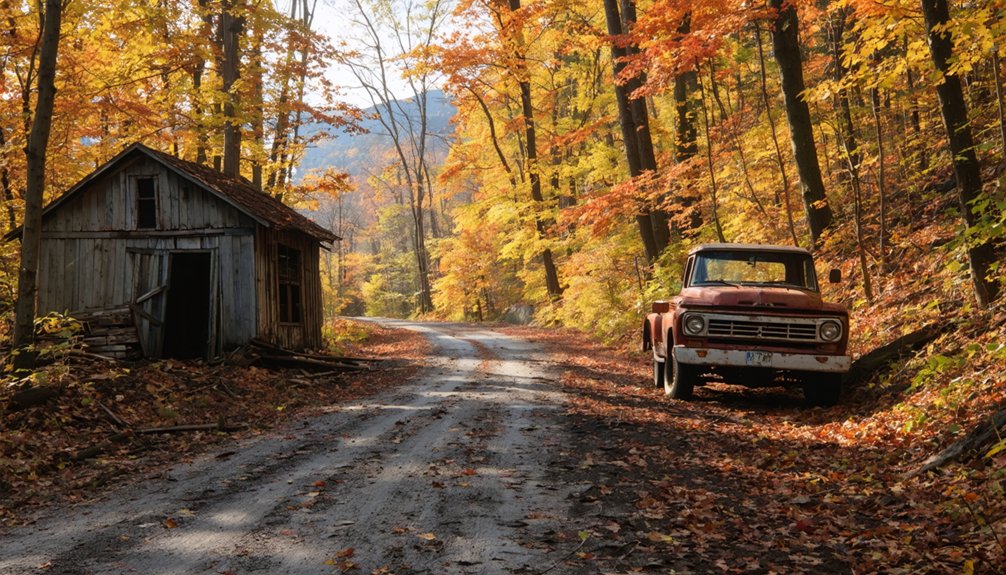
How to Get to Peale, PA From Route 53
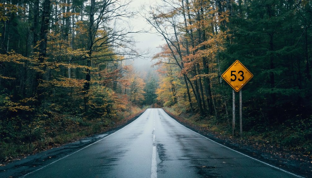
Getting to Peale from Route 53 takes just a few turns, but those turns carry you decades into the past. Your Route directions begin simply: find Peale Road near Route 53 and follow it until the pavement surrenders to dirt. That change isn’t accidental — it marks where the modern world releases you.
Peale access opens gradually as wooded hillsides close in around Red Moshannon Creek. You’re driving what were once busy company streets, now quiet corridors between vanished lives.
Park where the road ends naturally, step out, and let the silence orient you. Stone foundations emerge through the trees almost immediately. No gate stops you, no ticket booth waits. Just open land, honest ruins, and the rare freedom of walking through history completely on your own terms.
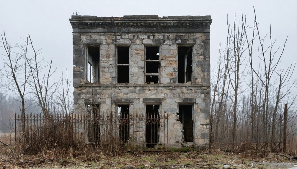
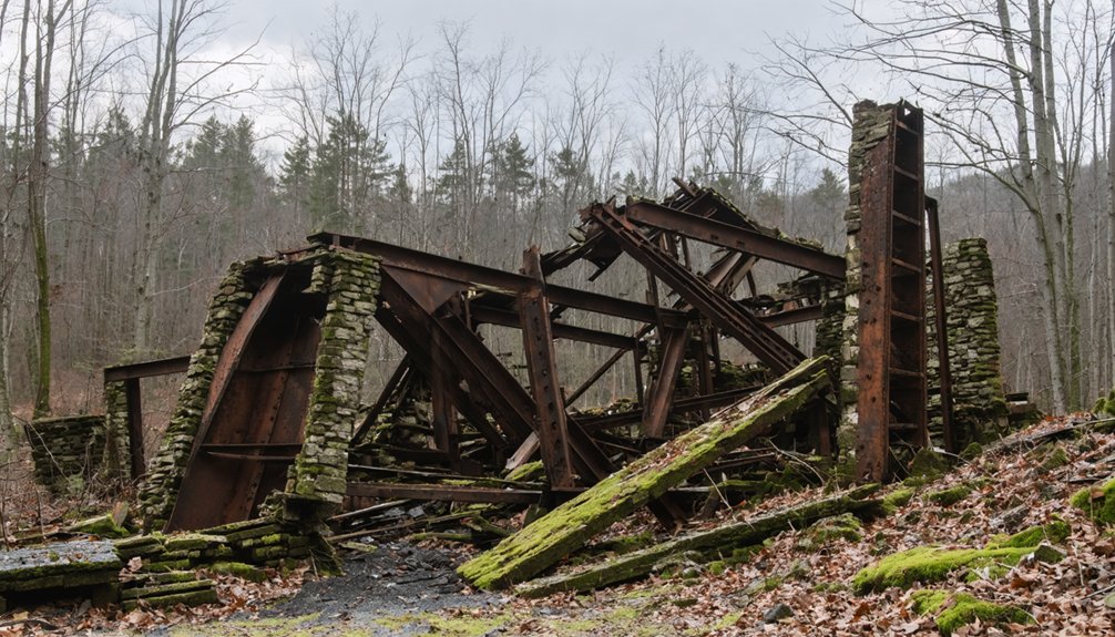
What Are the Ruins of Peale, PA Like Today?
What greets you at Peale isn’t rubble — it’s a readable town. The ruins exploration here rewards careful eyes. Over 120 stone foundations line dirt streets where curbs, sidewalks, and stairwells still rise from the earth, each one climbing toward a doorway that no longer exists.
The historical significance hits hard when you realize you’re walking a grid someone once called home.
The weight of history settles in when you recognize these overgrown lots were once someone’s neighborhood.
Watch for these remnants as you move through the site:
- Stone foundations stretching across wooded hillsides
- A town well and swimming pool still recognizable
- A cemetery holding at least one surviving marker
- Two remaining frame buildings standing along former streets
Peale doesn’t ask you to imagine it. It shows you exactly what it was — and what was taken away.
The Best Season to Visit Peale Without Getting Washed Out
Timing your visit to Peale matters more than you’d expect for a place this remote.
Late spring through early fall delivers the best weather for traversing dirt roads and wooded hillsides without sinking into mud.
Summer’s canopy fills the hollow with thick green light, making seasonal activities like photography and exploration feel almost cinematic against the stone foundations.
Fall strips the trees bare, revealing structural details you’d miss otherwise — every crumbling stairwell, every curb line emerging from the undergrowth.
Winter closes Peale Road entirely some years, locking the ruins behind ice and isolation.
Spring thaw turns the trail beside Moravian Run into a muddy obstacle.
Give yourself dry ground, good light, and a full afternoon.
The ghost town rewards patience.
Ghost Towns Near Peale Worth Adding to Your Route
While you’re out exploring Peale’s stone foundations and silent streets, it’d be a shame to drive home without swinging through Grassflat, where miners from Peale resettled after the coal ran out, leaving behind their own layer of faded industrial history.
Elk Country’s abandoned sites add another dimension to the trip, threading together a regional story of boom-and-bust communities that once hummed with life across these Pennsylvania hills.
You’ll find that mapping a route connecting these scattered ghost towns transforms a single afternoon stop into a full-day road trip through the hollowed-out bones of a forgotten era.
Grassflat Mining Community
Just a few miles from Peale’s stone foundations, Grassflat tells its own story of a coal community that outlived its neighbor before ultimately surrendering to the same fate. Many of Peale’s displaced miners brought their families here, briefly extending Grassflat Heritage before the coal gave out entirely.
Walking through what remains connects you to a Mining Legacy shared across this entire hillside region:
- Relocated families from Peale settled here after their town disappeared
- Coal extraction shaped every street, structure, and social gathering
- The community absorbed neighboring workers before declining itself
- Remnants of daily life still surface along forgotten roads
You’ll feel the weight of these combined histories when you stand quietly between both sites, recognizing how completely industry once commanded people’s freedom to stay or leave.
Elk Country Abandoned Sites
Stretching your route beyond Grassflat pulls you deeper into Pennsylvania’s Elk Country, where the same coal-hungry forces that emptied Peale left scattered bones across the forested hillsides of Clearfield and Elk Counties.
You’ll find abandoned structures swallowed by second-growth timber, their stone foundations disappearing beneath decades of leaf litter and moss. The wilderness reclaimed these communities faster than it did Peale, leaving quieter, rawer remnants.
Drive the back roads near Benezette and you’re trading ghost town silence for unexpected elk sightings along meadow edges at dusk. Pennsylvania’s free-roaming elk herd now grazes where miners once punched timecards.
That collision of industrial ruins and wild recovery makes this corridor genuinely worth the detour, rewarding anyone willing to follow unmarked roads into forgotten country.
Nearby Historic Settlements
Peale doesn’t stand alone in this stretch of central Pennsylvania—Grassflat sits close enough to fold into the same afternoon, and its story picks up almost exactly where Peale’s leaves off.
Displaced miners carried their lives there when the coal ran out, making it one of the most compelling nearby attractions for anyone tracing the region’s industrial memory. These historic landmarks reward the curious traveler who refuses a single-stop itinerary.
Add these settlements to your route:
- Grassflat – received Peale’s displaced mining families directly
- Elk Country ghost towns – scattered remnants throughout the surrounding hills
- Moravian Run corridor – connects multiple abandoned sites naturally
- Beech Creek Railroad towns – share Peale’s same economic rise and collapse
Each stop deepens the story considerably.
Frequently Asked Questions
Who Was S.R. Peale and Why Was the Town Named After Him?
While Peale history doesn’t fully detail his biography, S.R. Peale’s significance earned him immortality — the Clearfield Bituminous Coal Company named this thriving Pennsylvania mining town after him, honoring his Lock Haven roots forever.
How Many People Lived in Peale During Its Peak Population Years?
At its peak, you’d have found 2,500 souls thriving in Peale’s ghost town history. These peak demographics paint a nostalgic picture of a once-bustling community where freedom and opportunity drew families to Pennsylvania’s wilderness.
Did Residents of Peale Own Their Homes or Rent From the Company?
You didn’t own your home in Peale — the Clearfield Bituminous Coal Company’s home ownership policies kept every building under their control. You’d have rented, surrendering freedom, a bittersweet reality that haunts those empty foundations today.
How Long Did It Actually Take to Build Peale From Wilderness?
Workers built Peale’s ghost town origins in just two years, achieving a remarkable wilderness transformation. You’d have witnessed raw forest become 300 buildings — homes, churches, stores — a fleeting community carved boldly from untamed Pennsylvania land.
What Railroad Line Originally Connected Peale to the Outside World?
You’d have ridden the Beech Creek Railroad, a lifeline that forever shaped Peale’s railroad history. That iron track’s transportation impact connected this wilderness coal town to Williamsport, 75 miles east, releasing freedom beyond those misty Pennsylvania hills.
References
- http://travelstwo.blogspot.com/2007/08/last-building-in-peale-ghost-town-gone.html
- https://krygier.owu.edu/krygier_html/peale/peale.html
- https://www.youtube.com/watch?v=2uwil_ZDIXQ
- https://uncoveringpa.com/ghost-towns-in-pa
- https://www.onlyinyourstate.com/trip-ideas/pennsylvania/ghost-town-road-trip-pa
- https://pawilds.com/historic-ruins-pennsylvania-wilds/
- https://www.findmall.com/threads/peale-pennsylvania-the-utopian-mining-town.249971/
- https://www.tripadvisor.com/ShowTopic-g28959-i112-k13069890-Ghost_Towns-Pennsylvania.html


