Planning a ghost town road trip to Stony Bar means heading into California’s Gold Rush heartland in Calaveras County, where the Mokelumne River once drew desperate fortune-seekers by the thousands. You’ll navigate State Route 49 through rugged foothill terrain to reach crumbling foundations and rusted mining relics that haven’t changed since the 1850s. There’s no admission fee, no crowds—just raw, unfiltered history waiting to be explored. Keep going to uncover everything you need to make this trip unforgettable.
Key Takeaways
- Stony Bar is located in Calaveras County on the Mokelumne River’s south side, roughly 4 miles east-northeast of Big Bar.
- Use State Route 49 as your primary route, then transition to smaller county roads leading toward the river.
- Print paper maps before departing, as mobile service is unreliable and road conditions can vary by season.
- Pack water, sturdy boots, sunscreen, a first-aid kit, and layers for a safe and comfortable visit.
- Extend your trip by visiting nearby historic sites like Angels Camp, Mokelumne Hill, San Andreas, and Cave City.
What Makes Stony Bar Worth the Road Trip?
Why drive out to a ghost town with no modern amenities, no admission booth, and no guarantee of cell service? Because Stony Bar delivers something rare — unfiltered history on your own terms.
There’s no tour guide scripting your experience, no crowd diluting the ghost town allure. Just you, the Mokelumne River, and the quiet remnants of a Gold Rush settlement that once drew dreamers from across the globe.
No tour guide. No crowds. Just you, the river, and the echoes of a world-changing gold rush.
Stony Bar’s historical significance runs deeper than crumbling structures. It embodies the raw ambition and inevitable collapse that defined California’s mining era.
You’ll stand where fortune-seekers once worked exhausting days chasing gold that eventually ran out. That boom-and-bust story isn’t just history — it’s a reminder that freedom always carries risk.
That’s worth every mile of road.
Where Exactly Is Stony Bar in California?
Tucked into Calaveras County in California’s central foothills, Stony Bar sits on the south side of the Mokelumne River, roughly 4 miles east-northeast of Big Bar.
This Stony Bar location places you deep in Gold Rush country, where ambitious miners once carved their fortunes from the earth during the mid-1800s.
State Route 49 threads through the western foothills nearby, giving you a natural gateway into this rugged, storied landscape.
The historical significance of this stretch of river country runs deep — entire communities rose and collapsed here within a generation.
When you stand near the Mokelumne River today, you’re occupying the same ground where thousands of fortune-seekers once staked everything on a dream.
That kind of raw history is worth finding on any map.
How to Get to Stony Bar
To reach Stony Bar, you’ll want to navigate the local roads of Calaveras County, using State Route 49 as your primary artery through the western foothills.
From there, you’ll branch onto smaller county roads that wind toward the south bank of the Mokelumne River, where the ghost town quietly waits.
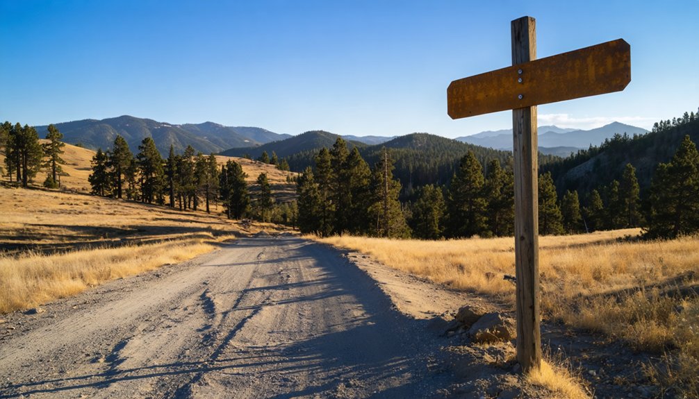
Keep your maps handy, because mobile service grows unreliable as you push deeper into the same remote terrain that once drew gold-hungry prospectors from across the world.
Routes To Stony Bar
Reaching Stony Bar means traversing the same rugged Calaveras County terrain that once challenged Gold Rush prospectors hauling gear toward the Mokelumne River. Your best approach runs through State Route 49, a corridor lined with historical landmarks that tell California’s mining story at every bend.
From there, you’ll navigate local county roads heading east toward the river’s south side. These scenic routes reward patient drivers with views of oak-dotted hillsides and river canyon terrain largely unchanged since the 1850s.
Don’t rely solely on GPS — cell service gets spotty as you push deeper into the foothills. Print a physical map, note your mileage markers, and keep your tank full before leaving any larger town.
Stony Bar doesn’t wait with modern conveniences, and that’s precisely its appeal.
Once you’ve turned off State Route 49, the real navigation begins. The local roads winding toward Stony Bar reflect the same rugged character that drew Gold Rush miners here in the mid-1800s — unpolished, unpredictable, and unapologetically wild.
Road conditions can shift seasonally, so you’ll want to check conditions before departure, especially after winter rains soften the terrain.
Grab updated local maps before leaving cell coverage behind — mobile service drops off quickly in this remote stretch of Calaveras County.
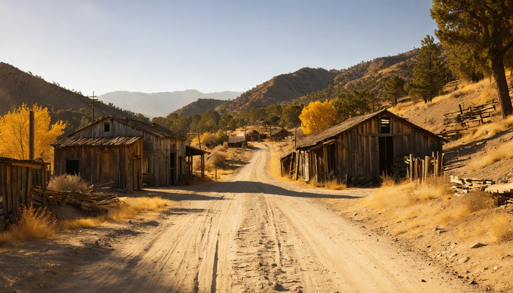
Navigate toward the south side of the Mokelumne River, keeping your bearings as you head roughly four miles east-northeast of Big Bar. The roads demand your attention, but they reward you with landscapes unchanged for generations — a direct line back to California’s restless, gold-hungry past.
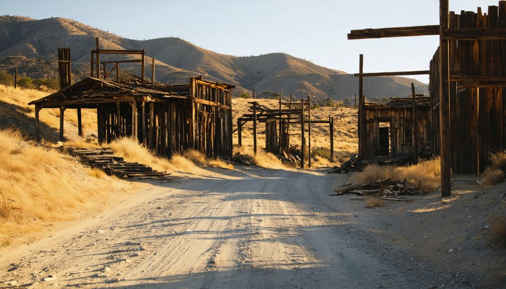
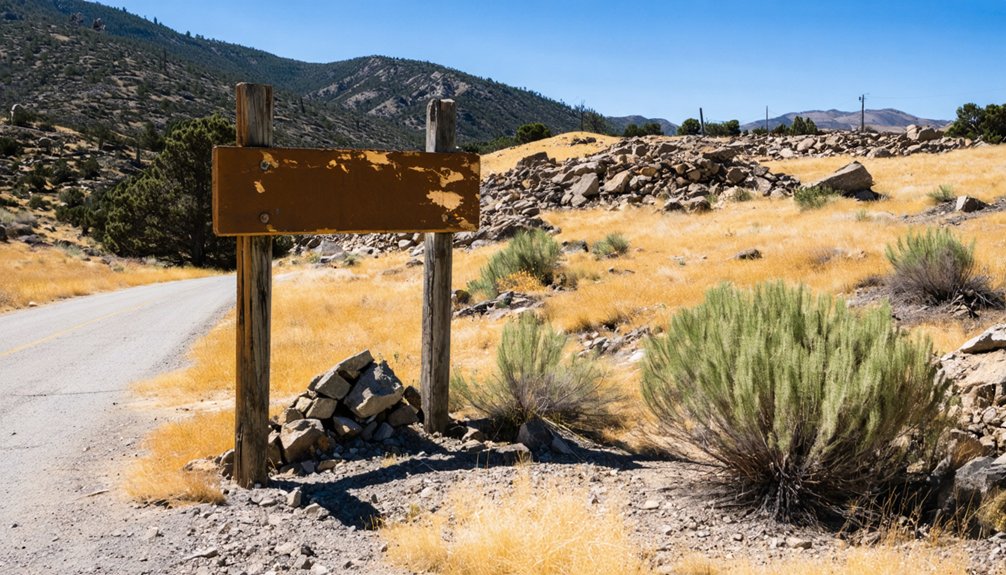
What You’ll Find at the Ghost Town Today?
Although Stony Bar no longer buzzes with the frantic energy of Gold Rush prospectors, the ghost town still holds tangible echoes of its past.
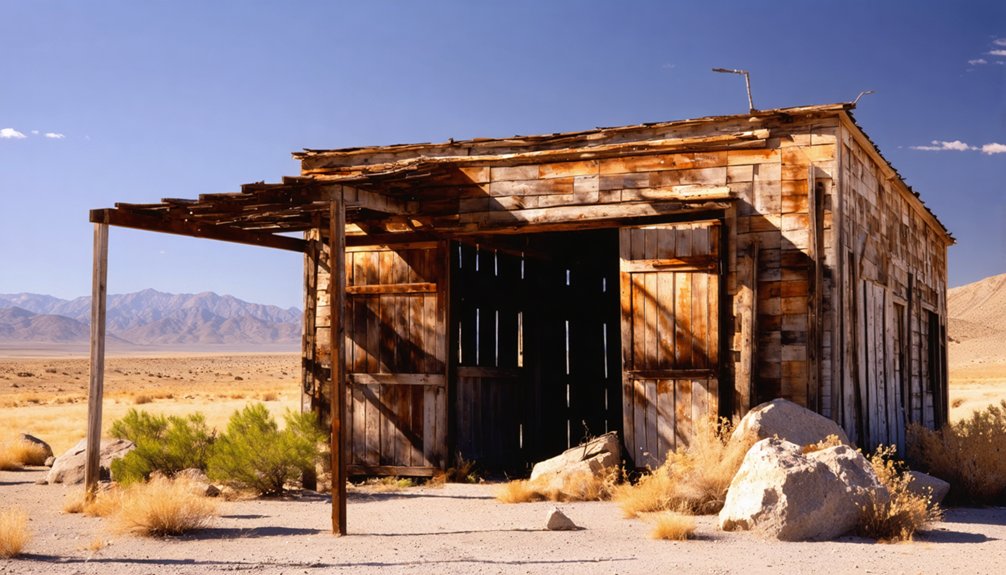
You’ll discover ghost town remnants scattered across the landscape — crumbling foundations, weathered timber, and rusted mining equipment that speak volumes about the region’s mining history. These artifacts sit largely undisturbed, letting you experience California’s boom-and-bust story without museum glass separating you from it.
Information boards near the site contextualize what you’re seeing, connecting physical remnants to the human ambitions that once shaped this riverbank settlement.
The Mokelumne River flows nearby, as indifferent today as it was when thousands chased fortunes along its banks.
No admission fees, no crowds — just open history waiting for you to explore it on your own terms.
When Is the Best Time to Visit Stony Bar?
Timing your visit matters as much as finding the place itself. The best seasons to walk Stony Bar’s weathered ground are spring and summer, when California’s foothill temperatures stay manageable and the trails remain dry enough to explore comfortably.
Weather considerations are real here — winter rains can turn access roads into muddy obstacles, and the remote terrain offers no shelter if conditions shift suddenly.
Spring brings a particular magic to the Mokelumne River corridor. Wildflowers push through cracked earth where miners once staked their fortunes, and the air carries that rare combination of warmth and clarity.
Summer mornings work best before afternoon heat builds. You’re chasing history on your own terms out here, so plan accordingly — arrive prepared, stay aware, and let the land tell its story.
What to Pack for Your Stony Bar Visit
Packing five essentials can make the difference between a rewarding ghost town experience and a miserable retreat. Before hitting Calaveras County’s back roads toward the Mokelumne River, load your pack with water, sturdy boots, sunscreen, a first-aid kit, and a detailed paper map.
Mobile service disappears fast out here, so don’t rely on your phone for navigation.
Follow basic safety tips: tell someone your route, wear layers for shifting temperatures, and watch your footing around deteriorating structures and old mining equipment.
These remnants carry history, but they’re unstable.
Your packing essentials should also include snacks and a camera — you’ll want fuel and documentation as you walk ground where Gold Rush fortune-seekers once staked everything on a single, desperate dream.
Which Historic Mining Sites in Calaveras County Are Worth Adding to Your Route?
Why stop at Stony Bar when Calaveras County holds an entire network of Gold Rush ghosts waiting along its back roads?
Extend your route and let its mining heritage unfold across the landscape.
Extend your route and let Calaveras County’s mining heritage unfold across the landscape, one ghost town at a time.
Hit these historic sites while you’re out there:
- San Andreas – The county seat preserves courthouse records and artifacts from the rush era.
- Mokelumne Hill – Once a rowdy boomtown, its brick facades still whisper of fortune and violence.
- Angels Camp – Mark Twain immortalized this town; its museum anchors the local mining heritage.
- Cave City – Mercer Caverns nearby adds geological drama to your Gold Rush story.
Each stop deepens your understanding of the boom-and-bust cycle that shaped California’s restless, freedom-chasing spirit.
Frequently Asked Questions
Is There an Entrance Fee to Visit Stony Bar Ghost Town?
You don’t need to pay an entrance fee to explore Stony Bar’s ghost town history. You’re free to roam this open site, but remember visitor guidelines suggest respecting remnants of California’s fascinating Gold Rush past.
Are Mobile Phones and GPS Reliable Near Stony Bar?
Only 1 in 5 remote California sites offers reliable signals — you’ll likely face cell service reliability issues near Stony Bar. GPS accuracy concerns arise too, so download offline maps before you venture into this wild, forgotten frontier.
Can Local Schools Arrange Educational Field Trips to Stony Bar?
Yes, local schools can arrange educational field trips to Stony Bar! You’ll discover its historical significance firsthand, exploring the educational benefits of Gold Rush history, where freedom-seekers once chased golden dreams amid California’s rugged, untamed wilderness.
Does Stony Bar Have Designated Parking Facilities for Visitors?
Like Gold Rush pioneers parking their Teslas, you’ll find no designated parking facilities at Stony Bar. Visitor amenities are minimal, but your parking options remain free and open — embrace that untamed, self-reliant freedom the site naturally offers.
What Is the Elevation of Stony Bar in Calaveras County?
You won’t find widely documented elevation significance for Stony Bar, but its historical geography places it along the rugged Mokelumne River canyon — a landscape that shaped the Gold Rush miners who once freely roamed these wild Calaveras County hills.
References
- https://kids.kiddle.co/Stony_Bar
- https://www.wikiwand.com/en/articles/List_of_ghost_towns_in_California
- https://discover.hubpages.com/travel/Ghost-Towns-in-California
- https://a.osmarks.net/content/wikipedia_en_all_maxi_2020-08/A/List_of_ghost_towns_in_California
- https://www.reddit.com/r/AbandonedPorn/comments/apkol7/a_bar_in_the_ghost_town_of_bodie_ca_through_the/
- https://www.ghosttowns.com/states/ca/caalpha.html
- https://www.facebook.com/GhostMineSaloon/
- https://en.wikipedia.org/wiki/Mormon_Bar
- https://www.tripadvisor.com/Attractions-g28926-Activities-c47-t14-California.html
- https://californiacrossings.com/best-ghost-towns-in-california/


